Update on the Griffith Jones Llanddowror Heritage Tour

I have been sent this update on the project. The tour is being developed by the Carmarthenshire Antiquarian Society to raise awareness of the roles of Carmarthenshire people in the legacy left by Griffith Jones, especially Peter Williams, as this is the tercentenary year of his birth.

The Carmarthenshire Enlightenment Project: TOUR (and local Trails)


General tour: The proposed tour will use HistoryPoints QR plaques for on-site information and linkages between sites. It tells the story of the significant multiple legacies left by Rev Griffith Jones, Llanddowror. They include:

  • development of Welsh literacy across all of Wales through Circulating Charity Schools supported and continued by Madam Bevan, with her continuing legacy and his publications;
  • his prolific writing plus promotion of Welsh Bibles, which indirectly supported Carmarthen’s printing industry;
  • his fame as a preacher and embrace of all-comers that inspired so many others to follow his example, such as Peter Williams; William Williams, Pantycelyn, Thomas Charles, David Charles – all from Carmarthenshire;
  • the unintentional support of the eventual formation of the (Calvinistic) Methodist Church;
  • and, through all of those, the resurgence of the Welsh language in the C18 and C19.

Trails: At some of the locations (Llanddowror, Laugharne, St Clears and Carmarthen) there would also be linkage to a local trail, which will also have HistoryPoints QR plaques to guide the walker, and for qseveral also link to the Wales Coast Path.

Currently there are seven locations planned, as highlighted on the map, with the possible addition of Derllys.

But it could also be possible to extend further at any point in the future e.g. to include the County Museum at Abergwili and Llandovery sites (William Williams Chapel, and Pantycelyn) if they so wish.

Promotion: Each QR can be linked to further supporting information e.g. on C.A.S. website e.g. to Antiquary articles on GJ, etc. The tour will be promoted on the following websites: Carmarthenshire Antiquarian Society; HistoryPoints; Discover Carmarthenshire; the National Churches Trust as well as the local council websites and possibly Celtic Routes. An official launch is planned for the 23/24th September 2023 as part of CADW’s Open Doors with events at the locations, and an exhibition is planned for November in Carmarthen town centre. A touring exhibition and booklet are also planned, which will help promote awareness.

In addition in, autumn 2024 the County Museum will hold their own exhibition on the same theme.


The proposed route, the sites, an outline of the relevant content and trail links are all shown in the table:

SITES, in route sequence CONTENT PROGRESS

(February, 2023)

TRAIL FOCUS OF TRAIL LINK TO WALES COAST PATH LINK
Llanddowror Griffith Jones’ overall legacy QRs funding applied for Yes (funding ditto) plus pos. Youtube video. Training CC School teachers No
Eglwys Gymin Church history Peter Williams and John Evans QR in place No No
Pendine Peter Williams Memorial Chapel Peter Williams’ early life and achievements Display panel + QR in place No Yes – directly on the WCP
Laugharne St Martins church Church history and Griffith Jones preaching fame QR in place Yes – plus pos. Youtube video. Link to Madam Bevan’s house site with blue plaques and display panel, in place plus school + port QRs Yes – via the trail
Y Gât, St Clears – &/or Pentre Farm, adjacent Circulating Charity Schools; Thos & Dd Charles Funding applied for from Town Council ? Yes Story of the Circulating Charity Schools Yes – if trail(s) can be approved
?Derllys John Vaughan and Madam Bevan charity Display Panel in place – QR needed, if agreed No No
Heol Dŵr Chapel, Water Street Peter Williams’ development of chapel, printing of bible 1770 + rise of Methodism Funding applied for Yes – funding applied for Port, Academy, Grammar School. St Peters, Printing trade, Peter Williams Yes – via the trail
Llandyfaelog St Maelog church and Village Peter Williams’ grave, former home Two QRs agreed inc funding No No


Llanthony – a thin place

I was supposed to be going to Capel-y-ffin, just north of Llanthony, back last January to make a radio programme about Thin Places – then the lockdown struck. We decided to have another go on Tuesday. In folklore (and in some pre-Christian traditions), thin places are literal doors to the Other World. Stories of shepherds who walk into a stone circle or a cave, find themselves in the land of the fairies, dance with them all night, fall asleep, and when they wake up they find that a hundred years have passed and everyone they knew is dead …

In the Christian tradition, it’s a bit different – they are places where you are particularly aware of the presence of God and the nearness of the Other. But are they inherently like that, or are they created by the prayers of the faithful – what T. S. Eliot called places ‘where prayer has been valid’? Llanthony is a bit of both. The legend is that the medieval priory was founded by a young knight of the local de Lacy family. Out hunting, he became separated from his companions and got to a little ruined hermitage. He was told it was where St David had gone in retreat. He became a hermit there, and attracted so many followers that his hermitage developed nto a community of Augustinian canons.

So did the place speak to him, or did he realise it was holy when he found about St David? And was St David ever really there? And are thin places always quiet, remote retreats? For me, the ultimate thin place is Penrhys – which is a busy and sometimes troubled housing estate on the site of a medieval shrine to the Virgin Mary. The estate church is a centre of prayer and social activism, somewhere the Gospel is really being lived – but it isn’t everyone’s idea of a spiritual refuge.

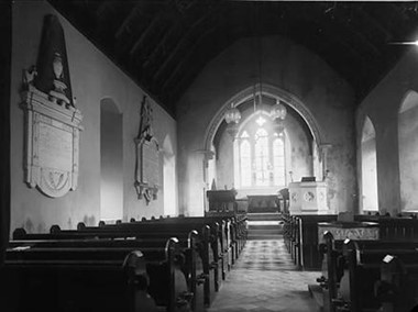
We stopped off on the way to Capel-y-Ffin at Llanthony Abbey. As well as the abbey ruins, the parish church was made out of the abbey infirmary. It has some splendid painted wall memorials – none by the famous Brute family of stonemasons but plenty to admire. Bob Silvester’s article in the current Church Monuments  is a really good study of these local stonemasons My photos aren’t brilliant because I only had my phone and it was very dark, but they give you an idea.

The Trumper monument
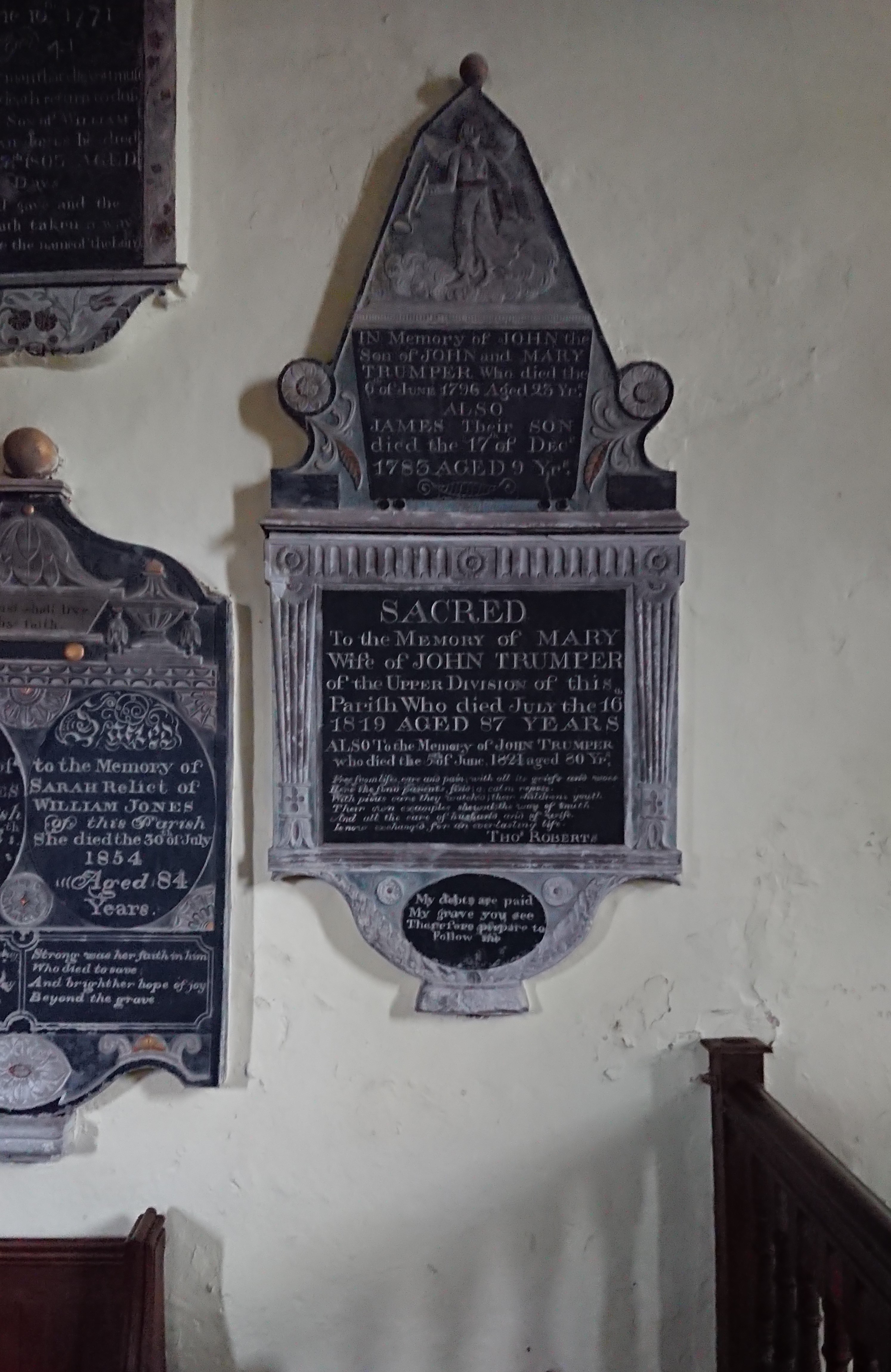
commemorates several generations of the family. There’s a particularly good angel at the top, with the trumpet of the Last Judgement (a pun, maybe?) standing on some very fluffy clouds.

Next to this, the monument to William and Sarah Jones
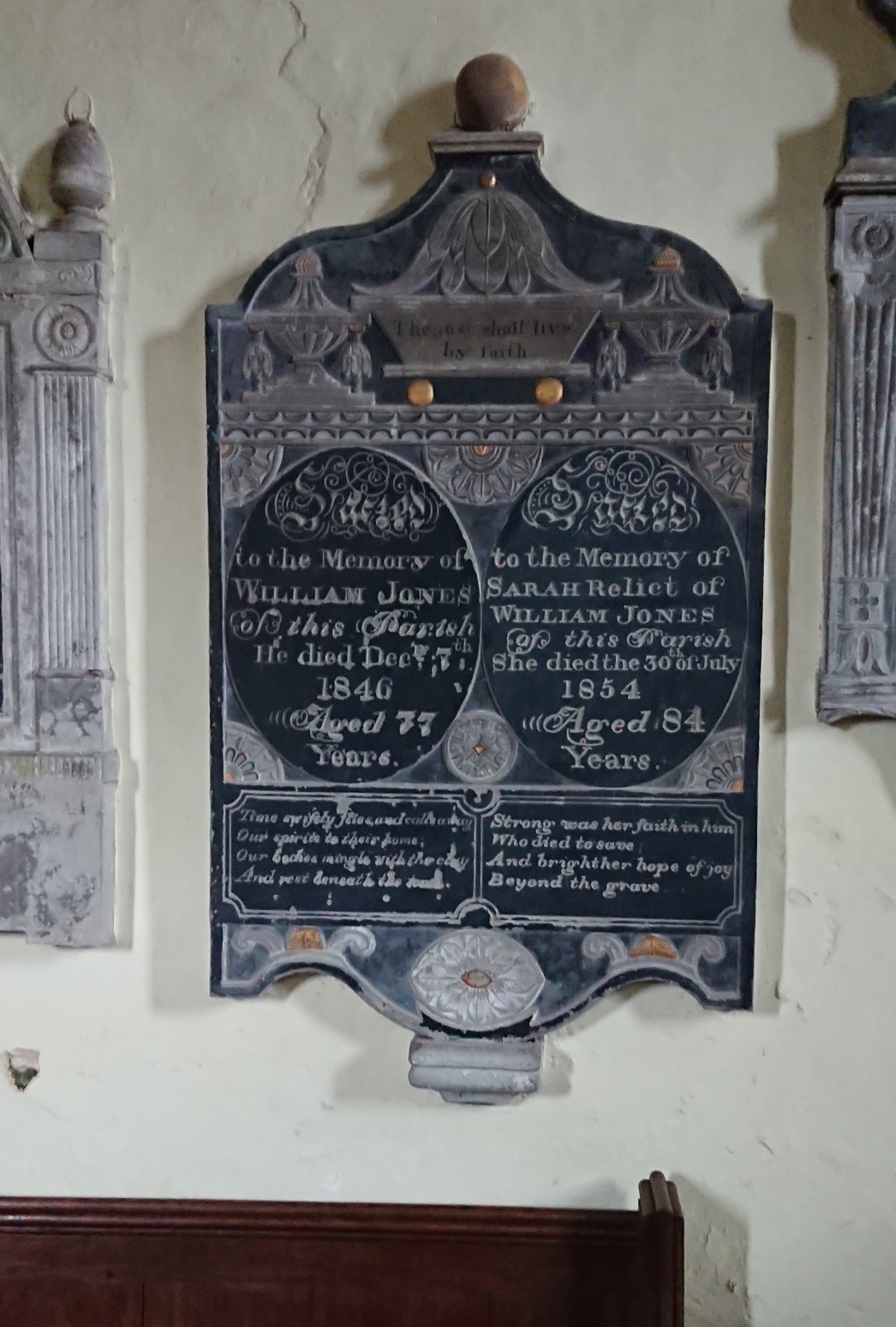
has two urns at the top and a sort of bathtub with the text ‘The just shall live by faith’.

There’s an intriguing difference in the lines under their names. His reads

Time swiftly flies, and calls away
Our spirits to their home;
Our bodies mingle with the clay
And rest beneath the stone.

Resignation, and the earthly fate of the body.

Hers by contrast reads

Strong was her faith in him
who died to save
And bright her hope of joy
beyond the grave.

more of a sense of religious belief. I’ve seen the same difference between men’s and women’s inscriptions elsewhere but I’m not sure if it’s a real gendered difference.

I couldn’t get a good picture of the one above
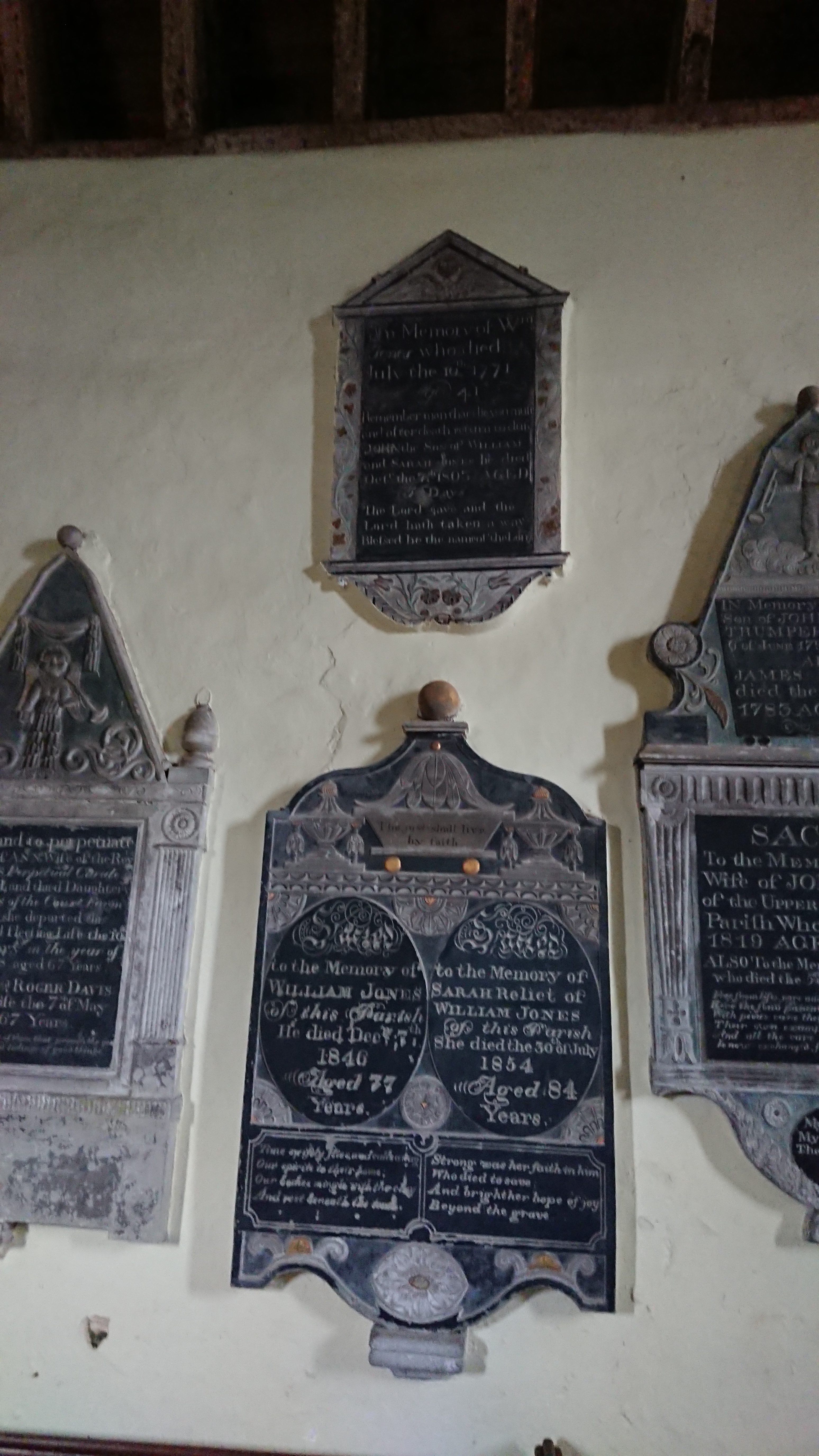
but it commemorates an earlier William Jones with the lines ‘Remember man that die thou must, and after death return to dust’ and ‘The Lord gave and the Lord hath taken away. Blessed be the name of the Lord.’

Next to this is a monument to Mary Davis and her husband Roger Davis, perpetual curate of the parish
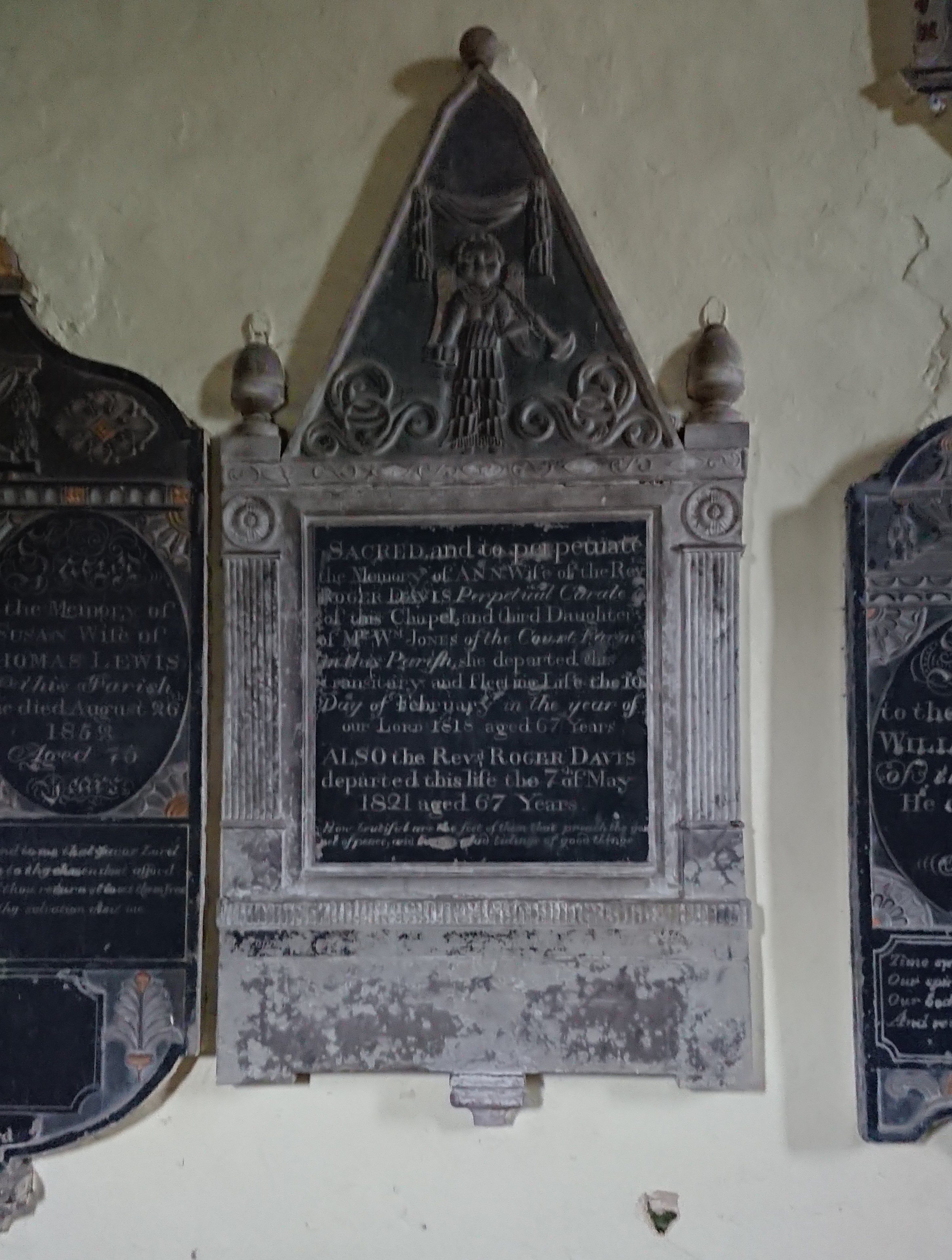
with a trumpet-wielding cherub at the top and the lines ‘How beautiful are the feet of them that preach the gospel of peace, and bring glad tidings of good things!’ – very appropriate for a cleric.

The Lewis monument
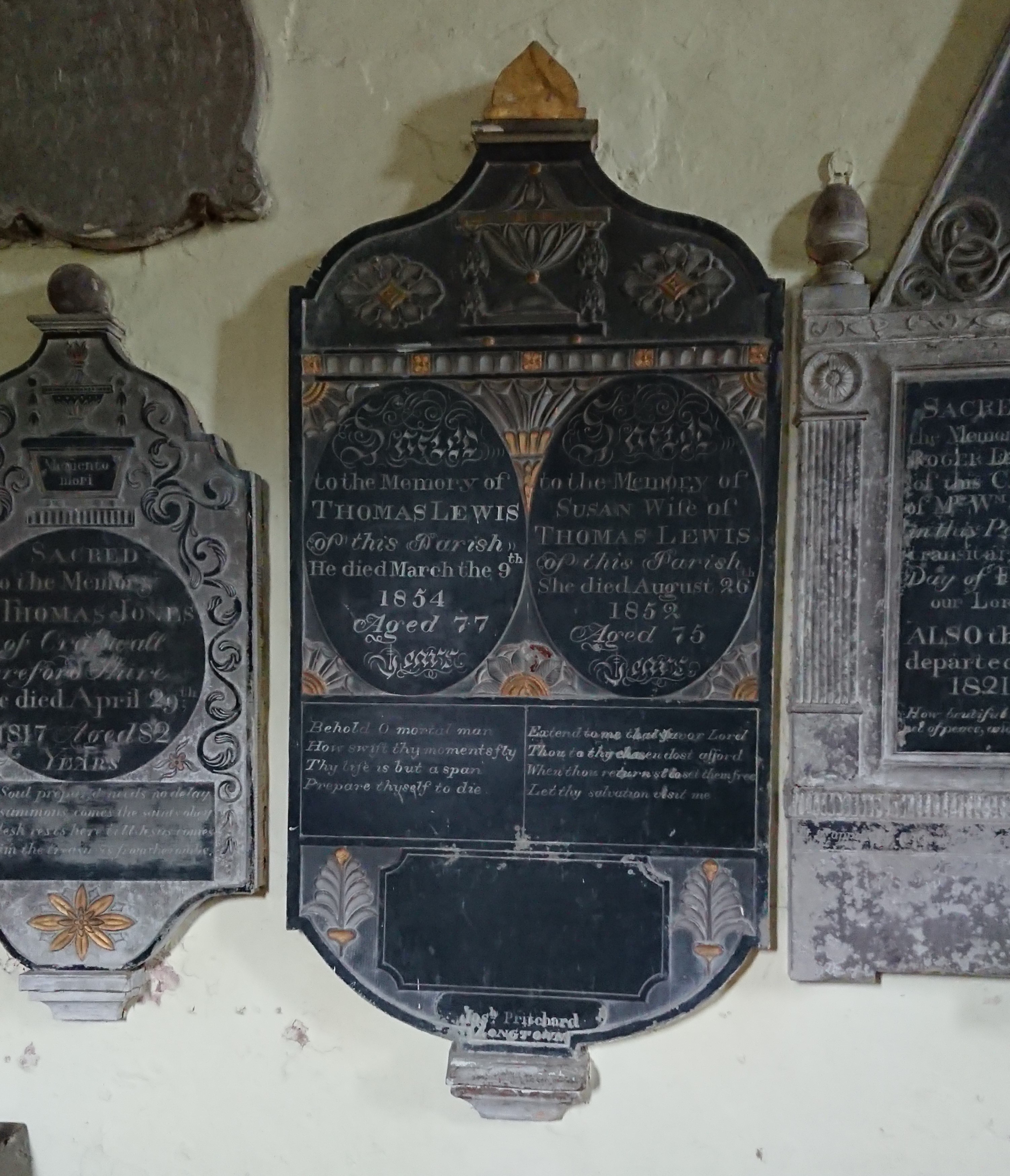
is particularly colourful, and has something of a gendered difference in the poems. His is

Behold o mortal man
How swift thy moments fly
Thy life is but a span
Prepare thyself to die.


Hers is

Extend to me thy favour, Lord,
Thou to thy chosen dost afford.
When thoui returnst to set them free
Let thy salvation visit me.

Sorting out the Joneses was tricky, but this one came from the neighbouring parish of Craswall, across the Hatterall ridge and in the next county and diocese.
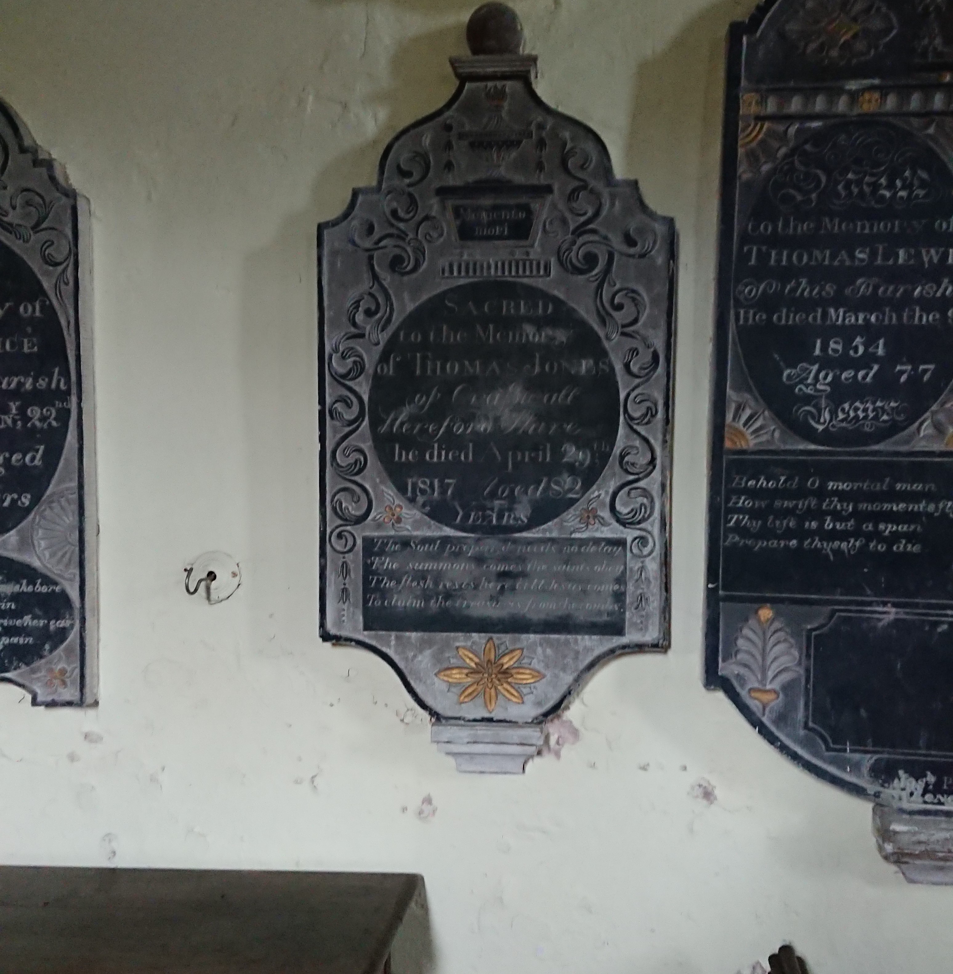
An urn sitting on a bath tub (technically they are called ‘wine coolers’) this time, with the words ‘Memento mori’. Underneath is the verse

The soul prepared made no delay,
The summons comes, the saints obey;
The flesh rests here till Jesus comes
To claim the treasures from the tombs.

Really difficult to photograph, this one, on the east side of the chancel arch
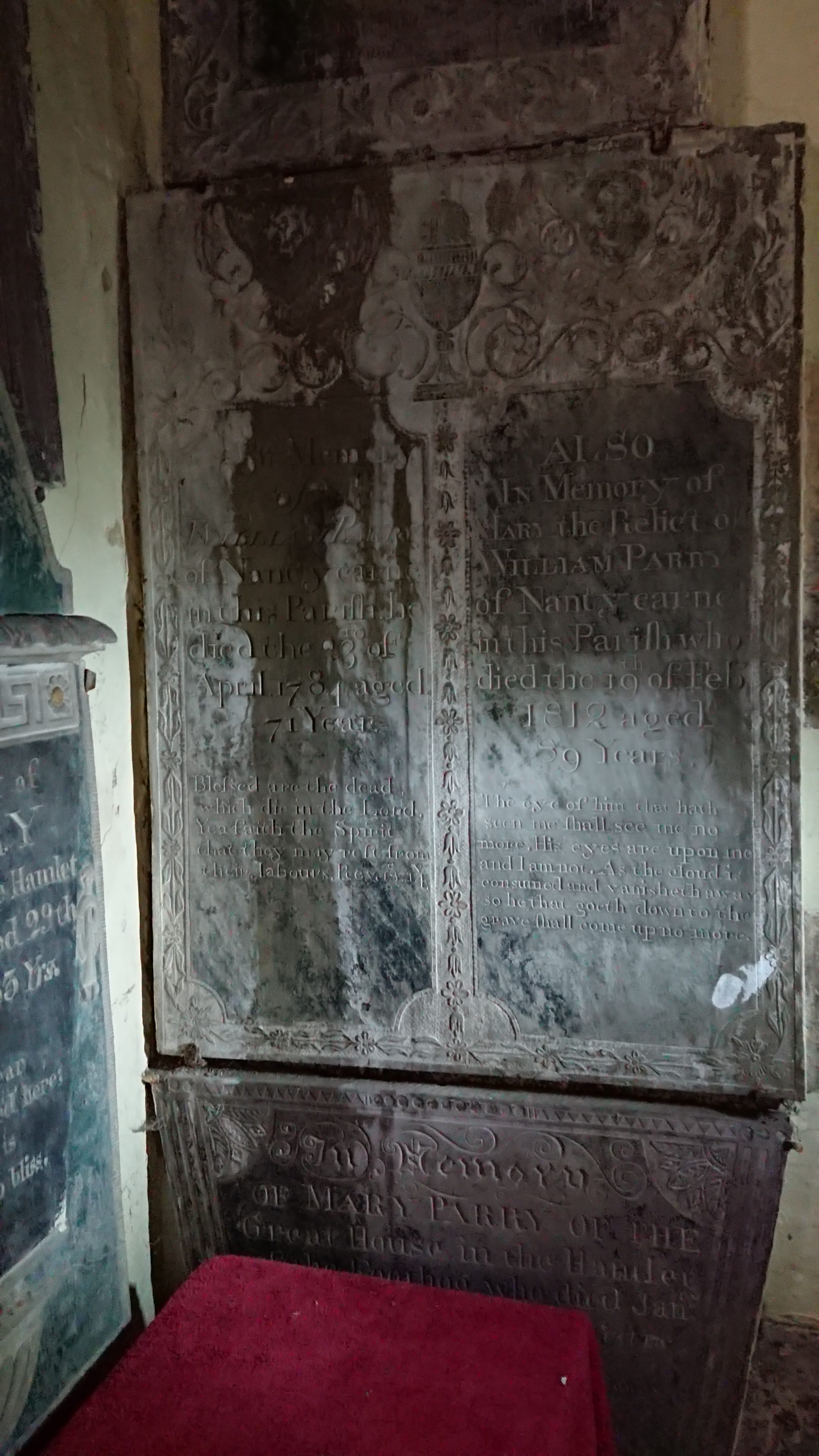
Mary and William Parry of Nantycarne, a farm tucked into the hillside just north of the abbey. Both have Bible quotes. His is from the Book of Revelation: ‘Blessed are the dead which die in the Lord. Yea, saith the spirit, that they may rest from their labours.’ Hers is really unusual, lines from chapter 7 of the Book of Job. ‘The eye of him that hath seen me shall see me no more. His eyes are upon me and I am not. As the cloud is consumed and vanisheth away, so he that goeth down to the grave shall come up no more.’

What can have led Mary (or her family) to those strangely disturbing lines? Extracts from the Book of Job feature heavily in the medieval Office of the Dead, the night prayers said after a death and before the funeral. But that would have been in Latin, and those particular verses only appear in a couple of unusual variants of the liturgy.

The other interesting thing is that the wording isn’t exactly that of the Authorised Version, which is  ‘…thine eyes are upon me and I am not’. It does sound as though the wording was given from memory, suggesting it was a text known well but not quite well enough.

But the real excitement was this
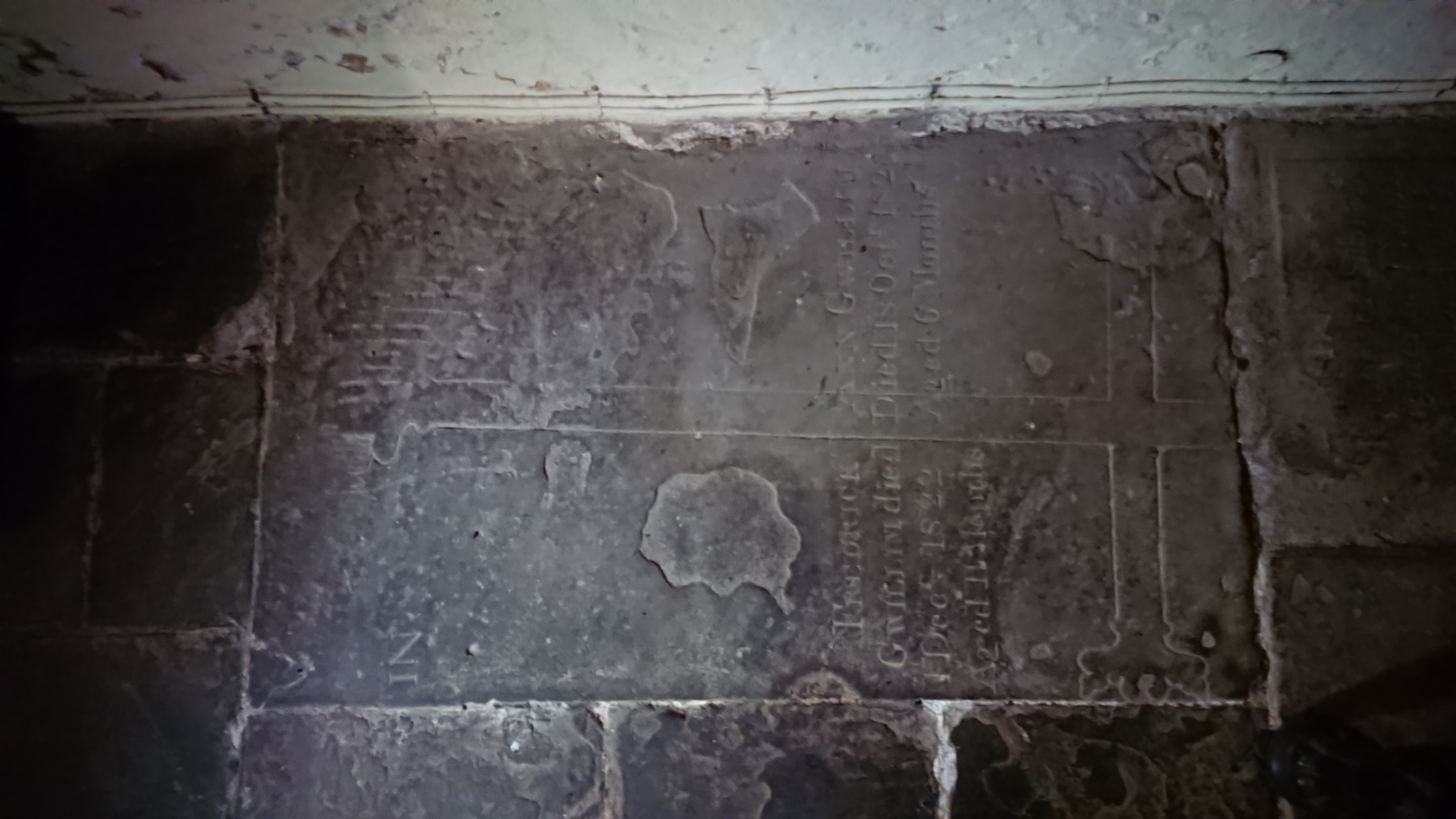
half hidden in the south-west corner. How many times have I been to the church and failed to spot it – how many groups of students have I taken there – I’ve been there with the Stone Forum, with the Church Monuments Society –

and there it was, hiding in plain sight, a medieval cross slab, trimmed on a slight slant, repurposed at least once with a later inscription.

The detail of the head
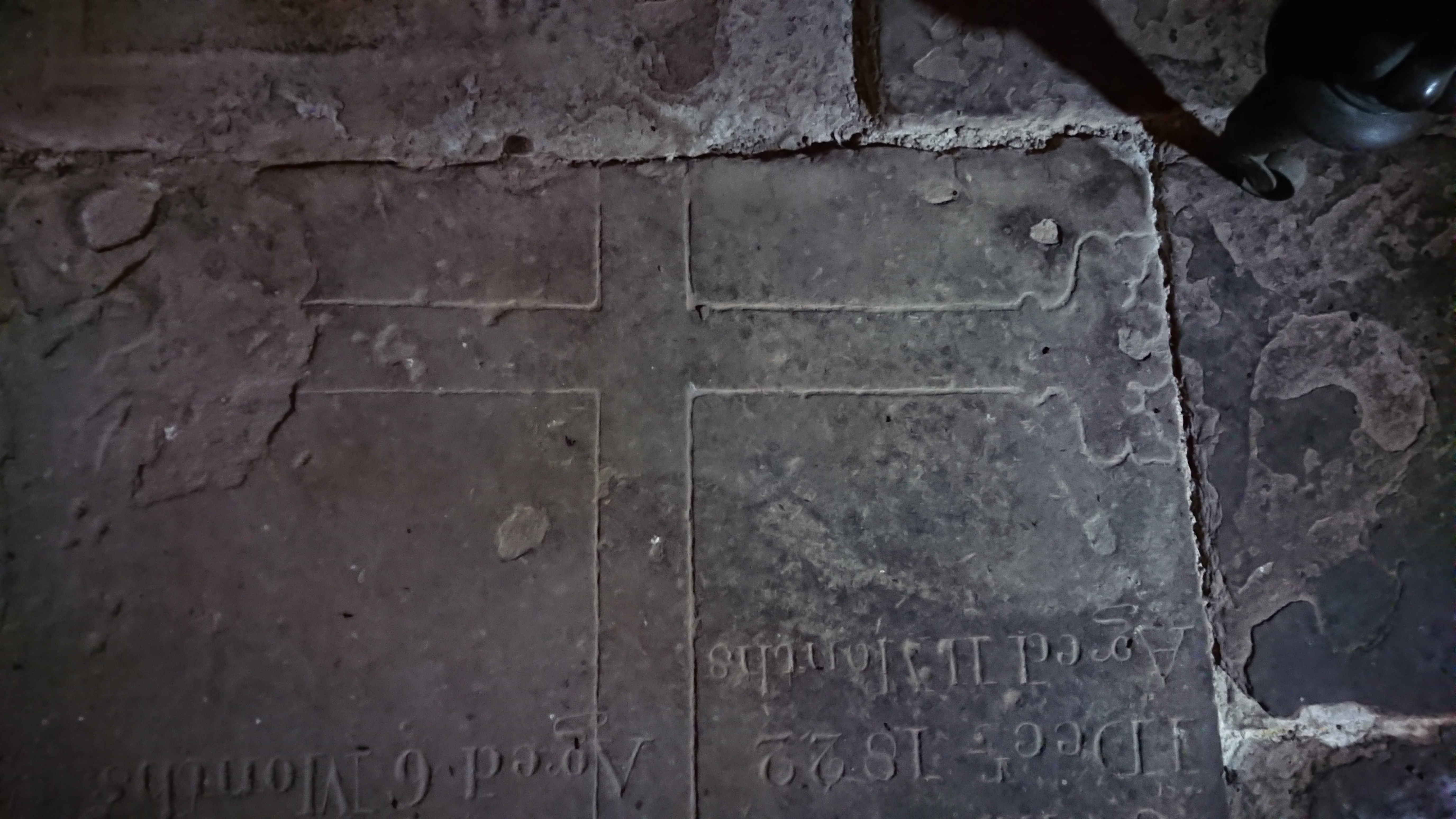
suggests a late date, probably fifteenth century. The base
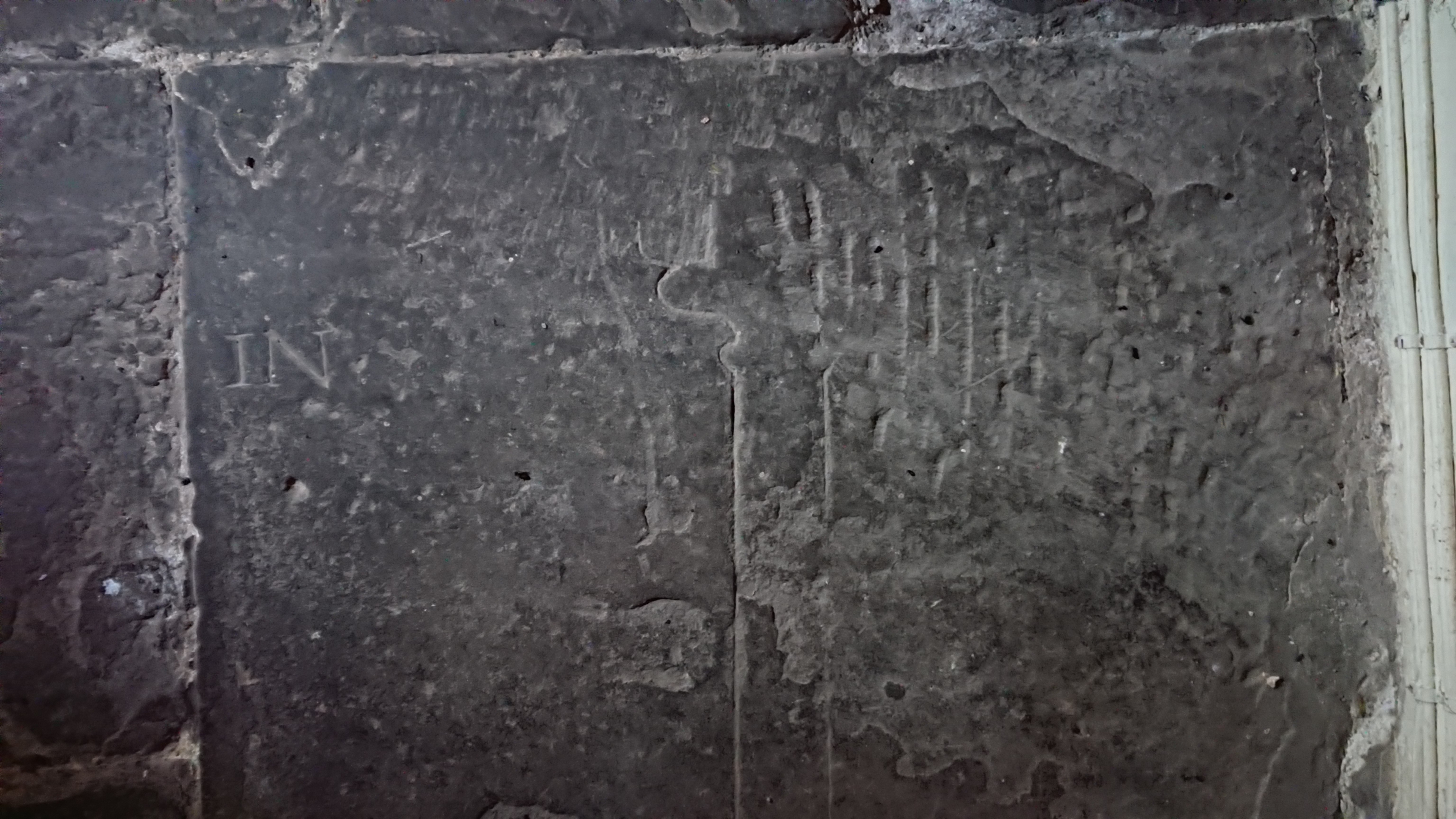
has a fleur-de-lys decoration rather than a stepped base which makes me think it’s 15th rather than early 16th. And the inscription –
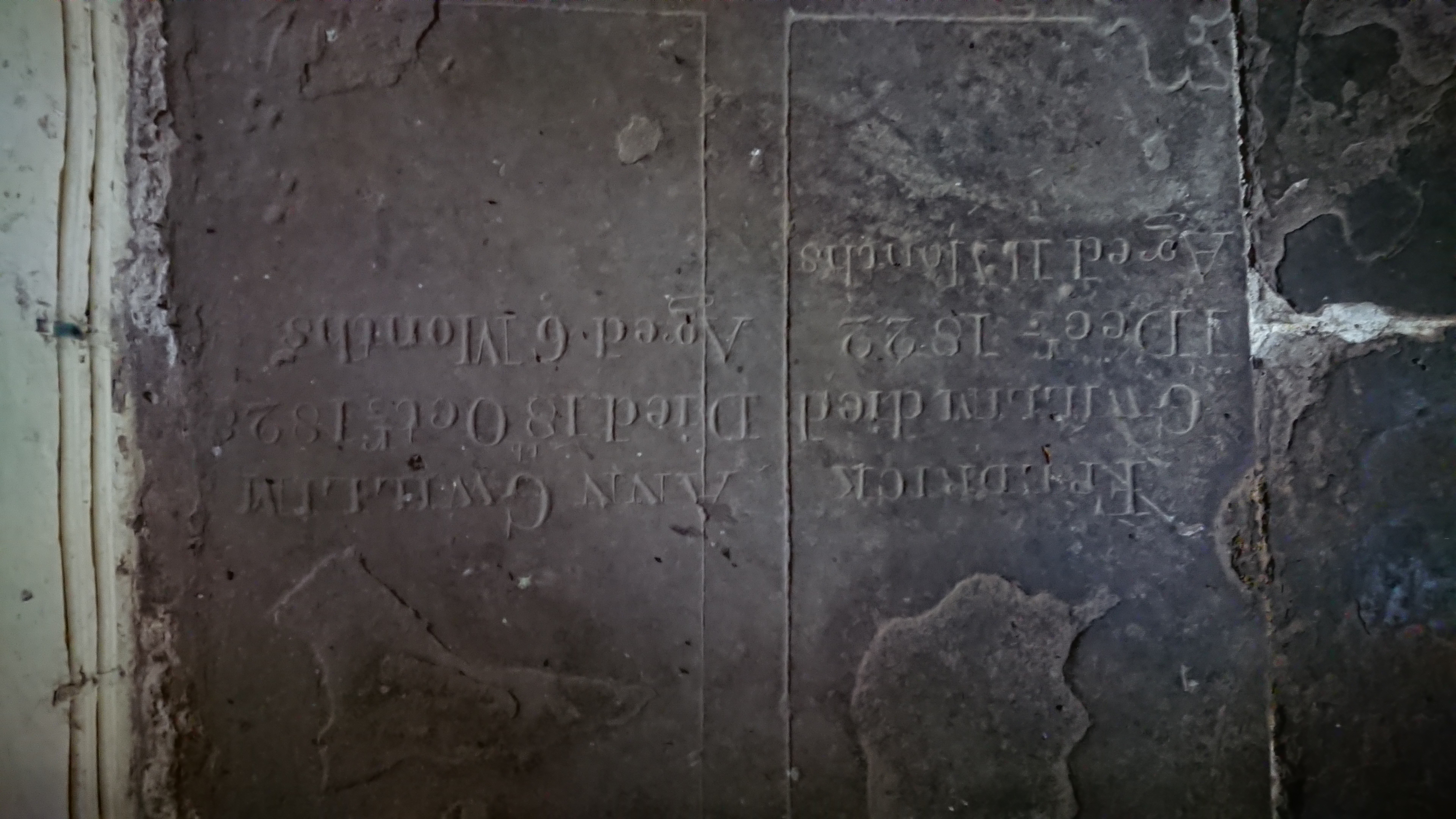
two family tragedies. Frederick Gwillim, Died 1 Decr 1822 aged 11 months, and Ann Gwillim, Died 18 October 1828 aged 6 months. How did they bear it.

Probably the stone came from the abbey – possibly the grave of a leading member of the community, possibly a lay person who had been generous to them. Who knows.

Llanthony was a bit disconcerting, being full of young army recruits, all spick and span in their new camouflage gear and 20 kilo overnight packs, off on an exercise in the mountains. The road to Capel y Ffin was nearly blocked by a landslide but Steve managed to get through. And the recording went well. They didn’t really want a lot of detail, and it was good to see the little church again.
Alternative routes to Penrhys

(or How the Old Poet Got to Penrhys – part 2)

The route over Mynydd Maendy and the Afan-Ogwr watershed still looks like the best route for the Cistercian Way – clearly an old trackway, magnificent views (weather permitting) and the shortest off-road route. But it probably isn’t the way medieval pilgrims like Gwilym Tew would have gone.  Old, overweight, carrying that massive candle, he would most likely have taken the gentler route from his home near Llangynwyd, via Llangeinor and Llandyfodwg  (now better known as Glyn Ogwr) and over Mynydd William Meyrick. According to the RCAHM Glamorgan inventory the route over Mynydd William Meyrick is medieval. The rest has to be deduced from the line of byways and green lanes.

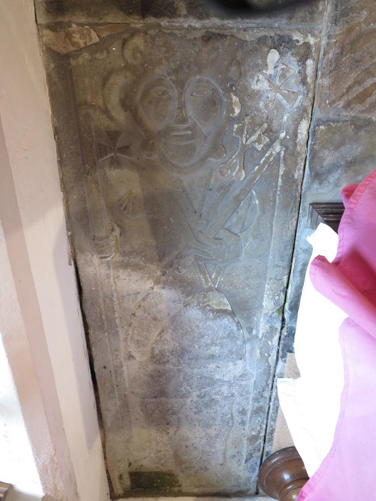
I’ve been meaning to look at this route for some time. Then I went to Llandyfodwg with Tristan Gray Hulse to look at the famous medieval effigy slab there.

llandyfodwg_compressed

It depicts a pilgrim with staff, satchel and badges including a scallop shell, the crossed keys of St Peter and – crucially – another badge showing keys on a ring. Tristan thinks this may actually show the saint himself. According to legend, Tyfodwg locked himself in chains as a penitential act and threw away the key. He then went on a pilgrimage to Rome, where he found the key in a fish he was given to eat.

There is another Welsh parish named after Tyfodwg: the old name of Ystrad Rhondda, between Treherbert and Tonypandy, was Ystradyfodwg. Before the Industrial Revolution, this was a huge and sparsely-populated curacy, covering the whole of the Rhondda and dependent on the rectory of Llantrisant. (This all looks like the remains of a minster church set-up providing for the spiritual needs of a small Welsh kingdom.) The old church in Ystradyfodwg was where Ton Pentre church is now (the Cistercian Way goes past it). As far as we can see from surviving records, though, this church was never actually dedicated to Tyfodwg: the earliest sources record it as dedicated to St John the Baptist. Was this an early second millennium rededication? Possibly – or (the theory on the Llandyfodwg church web site) was Tyfodwg an early Welsh ruler of the whole area who brought Christianity there and was eventually regarded locally as a saint? So the whole Rhondda area was Ystrad Dyfodwg, Tyfodwg’s valley, and Llan Dyfodwg was possibly the church where he died and was buried.

Mike Ash of the Glamorgan Ramblers has looked at old maps of the area around Ton Pentre. A trackway ran north of where the church is now. There seems to have been a bridge just north of the modern bridge, and there are also rocky outcrops which could have provided the supports for a medieval timber bridge.  Writing in about 1540, the antiquarian and general surveyor John Leland said there were timber bridges across the two Rhonddas just west and east of Penrhys.

The parish of Llandyfodwg has raised money to conserve the effigy and reposition it off the floor and in a more accessible position. Might there be scope for a parish pilgrimage, from Llandyfodwg to Ystradyfodwg? Time to put the boots on …
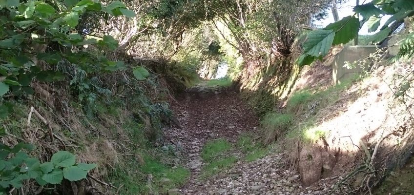
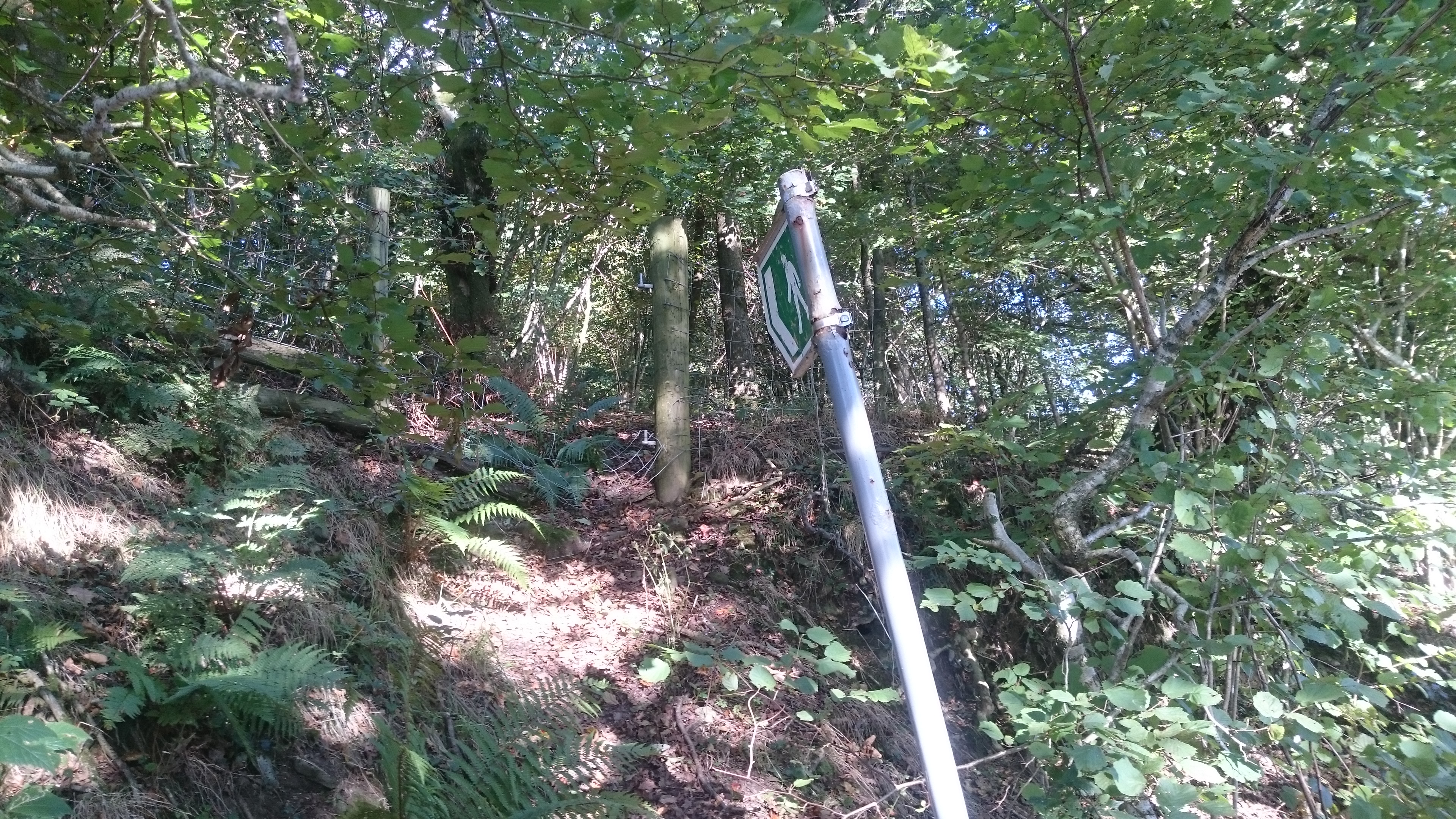
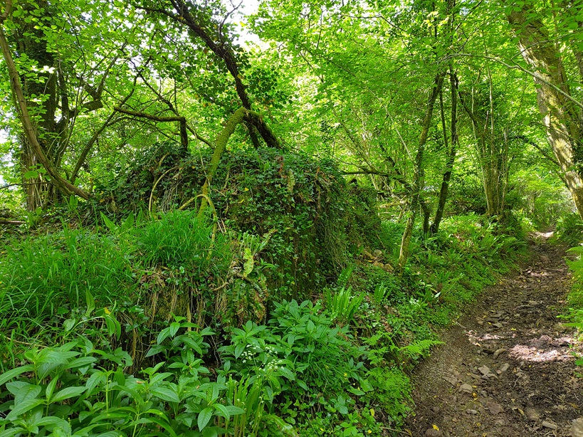
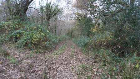
The Royal Commission’s route up the ridge from Llandyfodwg isn’t the obvious one along the bridleway from SS 95766 87306. Instead, it goes up the west side of Cwm Dimbath, and along the footpath which leaves Dimbath Lane at SS 94802 87782. The beginning is very overgrown
dsc_1638

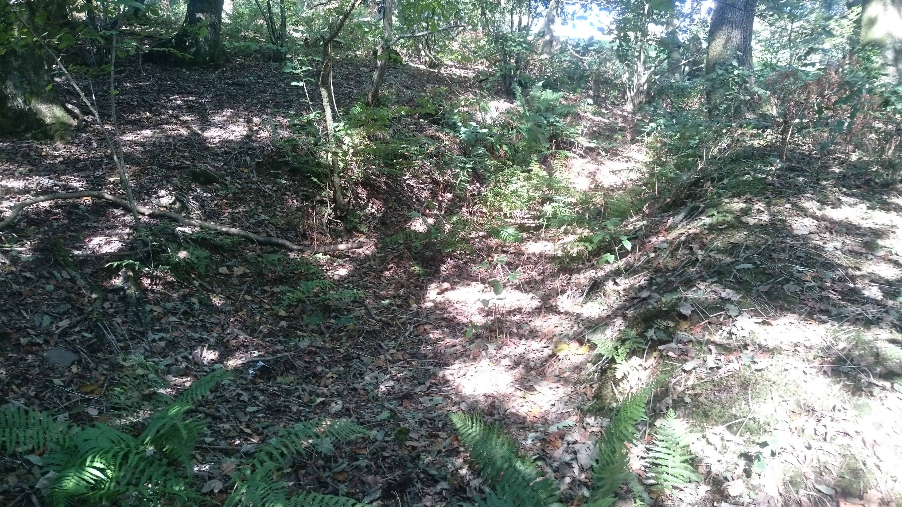
but there is a hollow lane visible from about SS 94769 87831 (still very overgrown)

dsc_1640

dsc_1642

and some travellers clearly didn’t make it … .

dsc_1643

This hollow lane continues up the edge of the fields to SS 94439 88211, skirts the coal tip (suggesting it was an old boundary) and goes into the forest at SS 94171 88861. From here it follows the forest road to SS 94999 90679 then cuts across the angle of the forest road to the edge of the forest at SS 95271 91052. This section has had a lot of off-roading damage.

dsc_1645

Nell likes off-roading damage because it makes puddles. Cara doesn’t like it because she gets stuck in the ruts.

The track continues round the head of Cwm y Fuwch. From there it has been interrupted by the building of yet another wind farm but it should be possible to pick it up again as it climbs to re-enter the forest on Mynydd William Meyrick at SS 95636 92082. From there it slants down along forest roads and presumably follows the line of the public footpath down the steep side of Cwm Cesig and into Ton Pentre.

We thought we ought to turn back when we got to the wind farm. My recently-purchased 1:25,000 OS map didn’t have the wind farm on it, but the online version does. I wanted to cut across to look at the bridleway to the east of Cwm Dimbath. Unfortunately the paths across the moor are confused by the access tracks for the wind farm – we could see the stile but between us and it was knee deep bog. We ended up on a lengthy diversion through the forest but we eventually got back on track. The bridleway is another well-marked hollow trail

dsc_1648

and seems to be waymarked from Llandyfodwg at least as far as SS 96269 90405, where it descends into the valley of the Ogwr Fach. This might be a better route for any walk between the two churches.  From this point, where the bridleway crosses the windfarm access road,  your best bet would be to follow the access road to SS 95711 91940, bear left with the road to SS 95601 91865 and pick up the line of the footpath into the forest.

Good Friday, riding westward

posted in: Heritage Paths | 1

Pleasure or businesse, so, our Soules admit

For their first mover, and are whirld by it.

Hence is’t, that I am carryed towards the West

This day, when my Soules forme bends toward the East.


The Good Friday walk on Twmbarlwm is one of our Valleys traditions that seems to have survived into the third millennium. I wonder whether that has something to do with the fact that it goes along the old pilgrimage route to Penrhys – do the stones themselves remember?

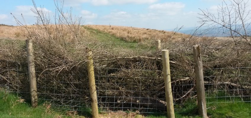
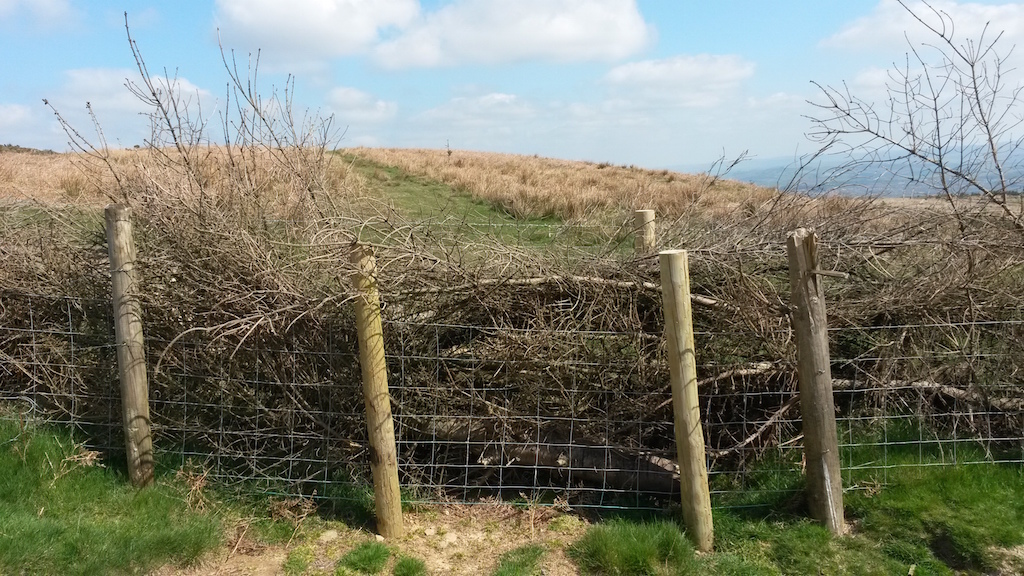
The Twmbarlwm Society (http://www.wbarrow.co.uk/twmbarlwm/) organises a walk every year, starting at the Stony Bridge in Pontymister, and we meet with the Ancient Cwmbran Society (http://ancient-cwmbran.wix.com/publish) on top. So the Cwmbran group walk westward, as John Donne rode westward on Good Friday, meditating on the fact that he seemed to have turned his back on God’s suffering. Last year there was snow on the ground; this year the sun shone and there were lambs and early bluebells. The Twmbarlwm Society has organised some maintenance work on the top, mainly geared to trying to keep off-roading bikes and 4x4s from damaging the monument. These impressive double fences

Image

reinforced with last year’s Christmas trees will protect the new growth on quickset hedges. There are sturdy new gates and an attempt to design stiles that will allow horses through but not motorbikes.

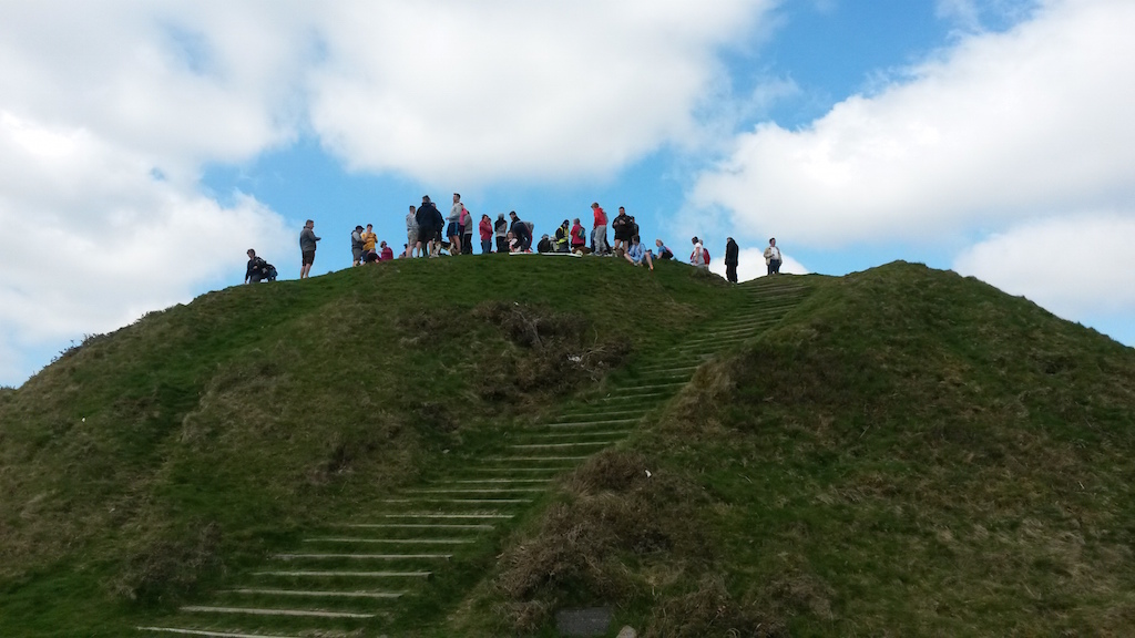
Here we are on the top

Image

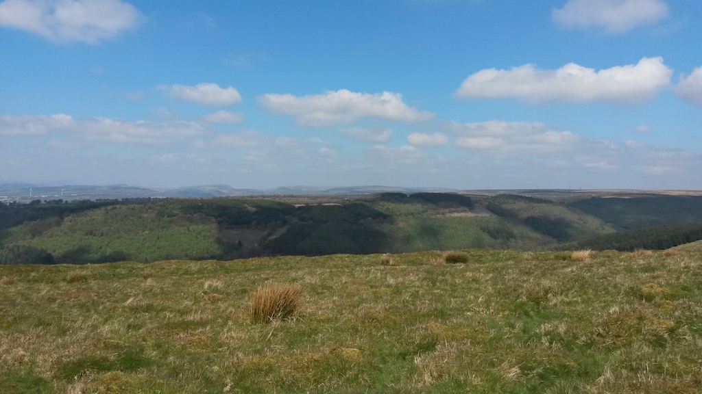
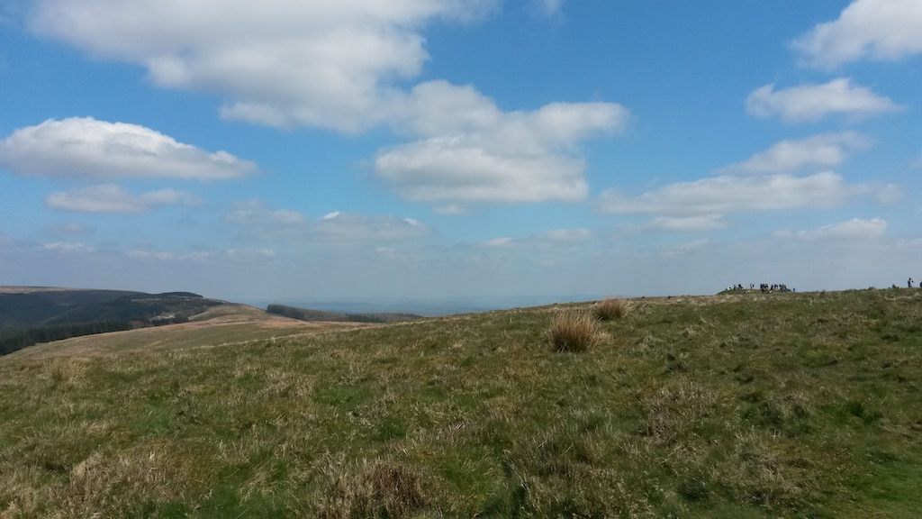
not just the organised groups but well over a hundred other people coming and going while we were there. Magnificent views

ImageImage

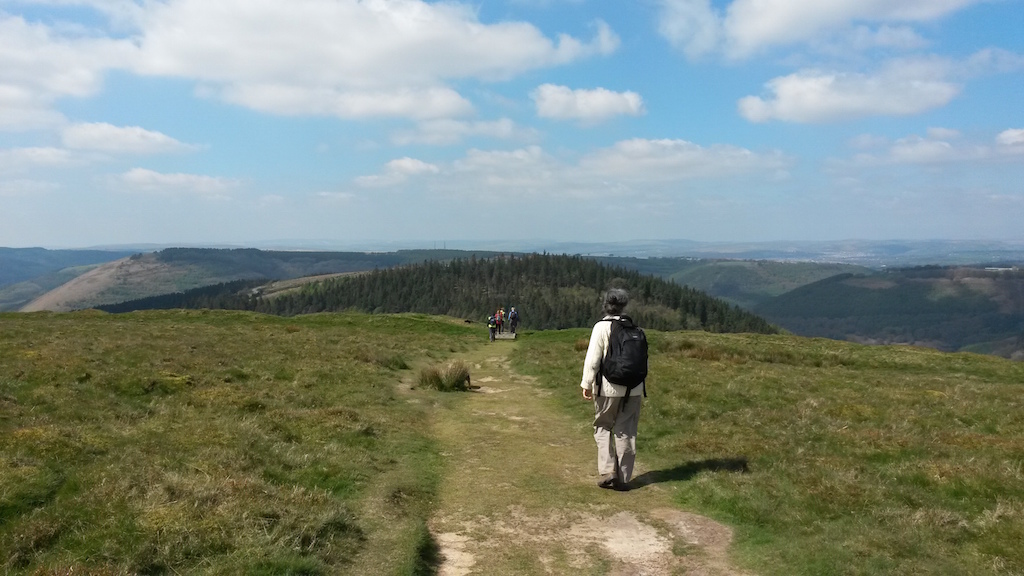
And walking along the ridge –

Image

now we are the ones going westward, down to Pegwn-y-bwlch and the canal. I think this is another old trackway, one of many cutting down the hillside. We walked it last year as an alternative to the medieval route which goes through the housing estate at Ty-sign and along busy roads. This year we may try Moriah Lane and up past Dan-y-graig. We are trying to find a route as close as possible to the medieval route but one which makes a pleasant walk. The Cistercian Way project is back on track and our target is to get Llantarnam to Margam clear and waymarked for the Valleys Festival of Walking in 2015.

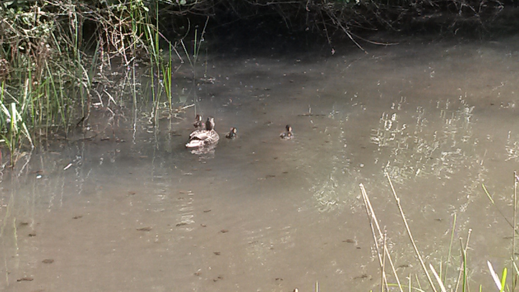
We had tea in the cafe on the canal and watched the ducklings

Image

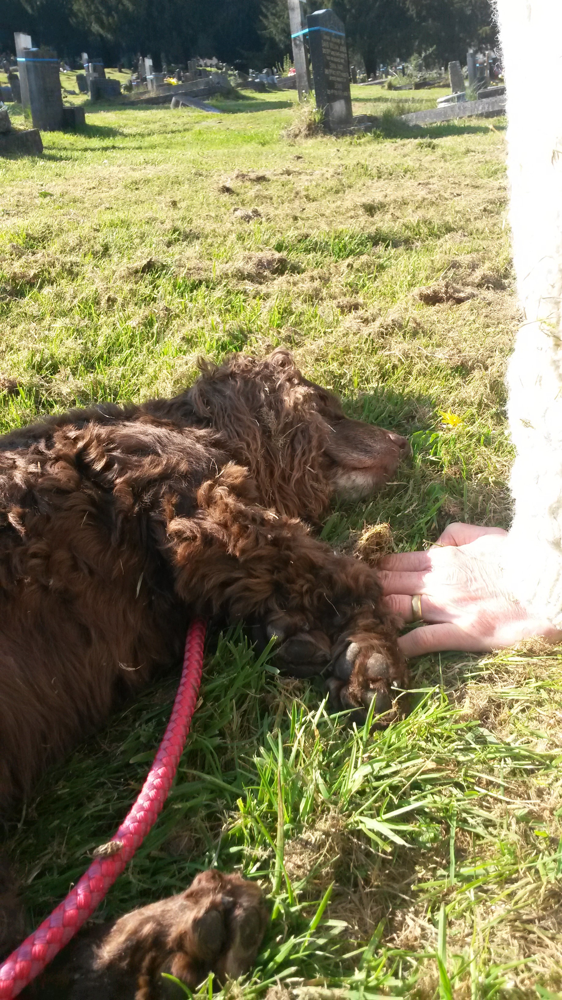
then took the car up to Danygraig to look at the family graves. Cara went to sleep in the sunshine.

Image

Image

I can’t help taking a professional interest in the cemetery, much to Rachel’s amusement. Some of the graves have weathered old wooden markers – you have to wonder whether the family moved away, or just lost interest. Of course, the biodegradable wooden marker is now the new trend, with woodland burials and eco-funerals. I still can’t quite decide whether I want the wicker coffin and plain wood marker or the full Victorian ritual with black horses, ostrich plumes and mutes with staves. Economy will probably win in the end.

Off the Celtic Stones Trail

posted in: Heritage Paths | 4

Well, the attempt to find another way over Stormy Down was a complete bust – so what follows is a rant about

(a)    Fly-tipping

(b)   Motorcycle scrambling

(c)    Blocked footpaths

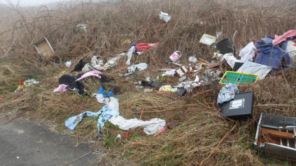
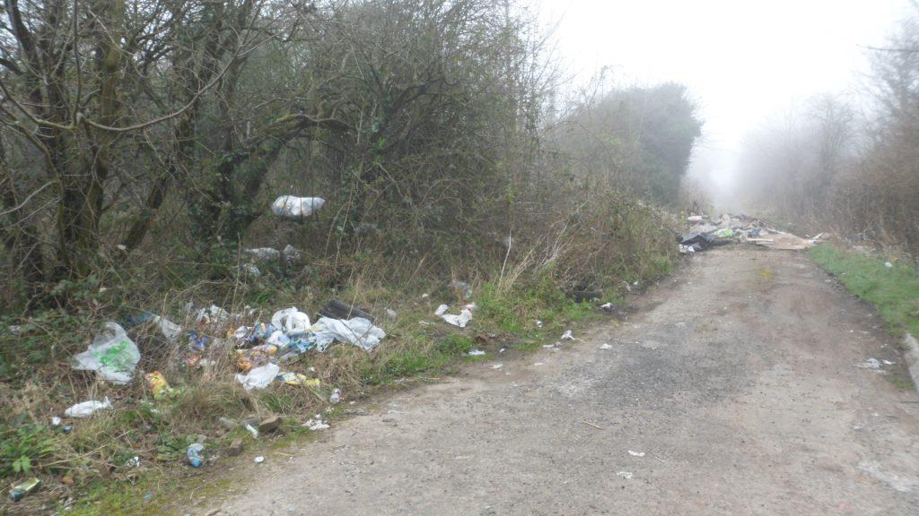
The first problem was that the road from Tythegston to the A48 is much too busy for a pleasant walk. But we persevered, crossed the A48 and took the track up to Stormy Down. The perennial problem of fly tipping –
Image

all along the lane (some Christmas decorations here – I always find that particularly sad)

Image

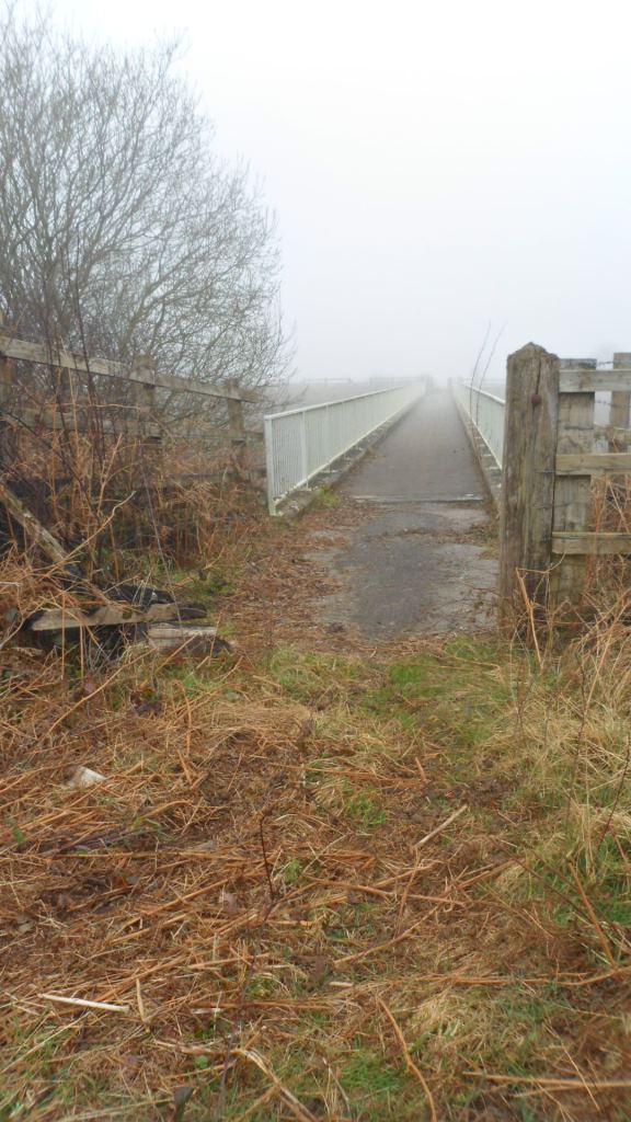
You can cut through the bracken and brambles to a footbridge (hallelujah!)

Image

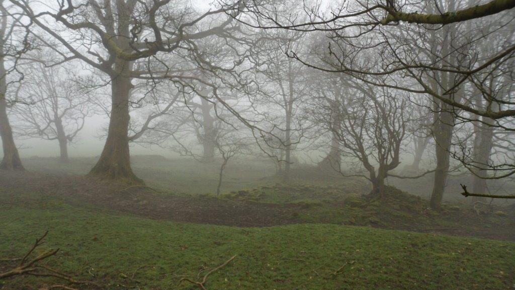
but the other side is a labyrinth of scrambler tracks with attendant mud and litter. This is a pity because we did find the ruins of Margam’s Stormy Grange, very atmospheric in the mist

Image

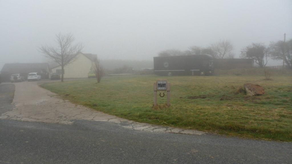
but this is a bit niche! and not really worth the plod through the rubbish. I thought I might check out the footpath over to Laleston on the way back. It should leave the road at Ty-du Farm

Image

but I was told very firmly by a young woman out exercising the horses that the footpath didn’t go over their land any more, her father had sorted it out with the council and I couldn’t go through the fields because all the fences were electrocuted.

Image

Here’s the old stile – but I didn’t feel up to electrocuted fences so we went back along the road and down the path to Tythegston past Ty-erfin, even more mysterious in the mist.

Image

The only option seems to be to repair and waymark the stile at 851 802 and hope that the people at Upper Park Farm don’t claim to have Sorted Things Out With The Council!

“Celtic Stones”

Having got the Galilee Project all wrapped up, Gareth Kiddie and the Llanilltud PCC are now working on a trail from Llandaff to Margam, linking the sites of some of our major collections of early medieval inscribed stones. The route across the Vale of Glamorgan is pretty much sorted thanks to the Valeways project, and I think we have a reasonable route from Llandaff to  St Fagans (the new home of the National Museum’s collection of stones and casts). More on that at http://heritagetortoise.wordpress.com/2013/10/06/faith-tourism-faith-in-tourism/ .

So that leaves Merthyr Mawr  (a bit more on that at http://heritagetortoise.wordpress.com/2013/07/22/llancarfan-and-merthyr-mawr-faith-in-heritage/ and http://heritagetortoise.wordpress.com/2013/08/12/on-knowing-where-your-towel-is/ ) and Margam, where the collection of stones in Cadw’s little museum is justly famous.

But how to get from one to the other? There’s the coast path … but it isn’t a good section, going through a huge industrial estate. Cara and I were sure we could do better than that …

It didn’t start too well. The lane from Candleston Castle up to Candleston Farm is still more like a river

Image

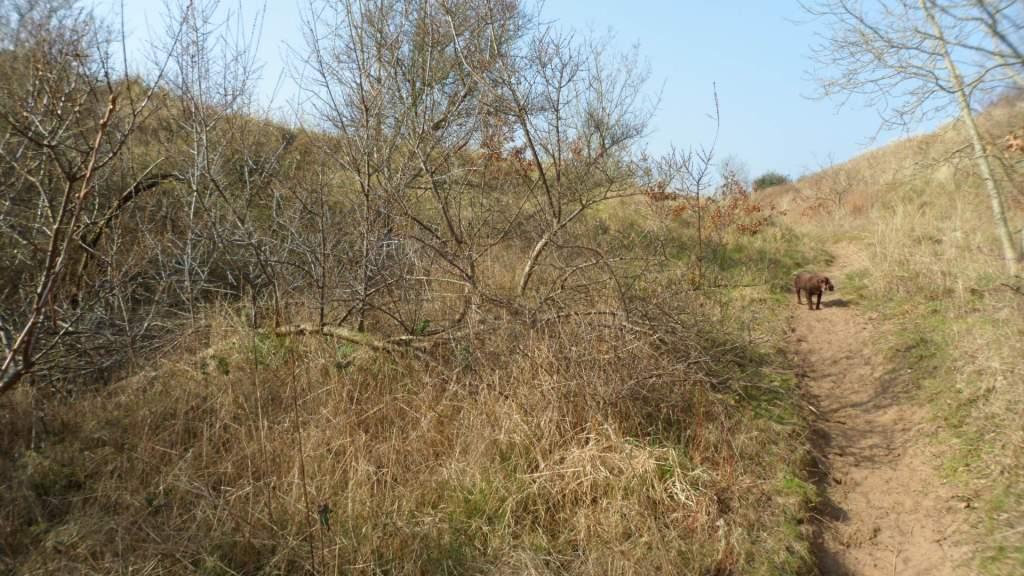
But if you go over the little bridge opposite the castle, the bridleway up through the sand dunes is steep but easy to follow.

Image

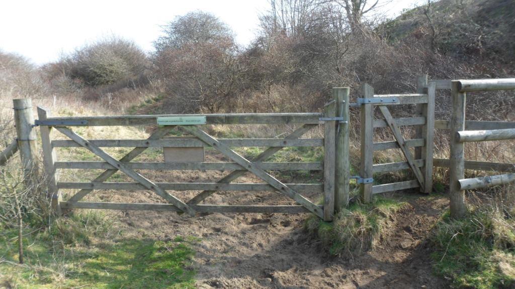
The shrubs are sea buckthorn, planted to stabilise the dunes. They are pretty in flower and glorious when the thickets are aflame with berries, but they are savagely prickly and really a bit too vigorous. Keep going up hill, bear round to the right and keep the trees and the line of fence to your right, go through a gate,

Image

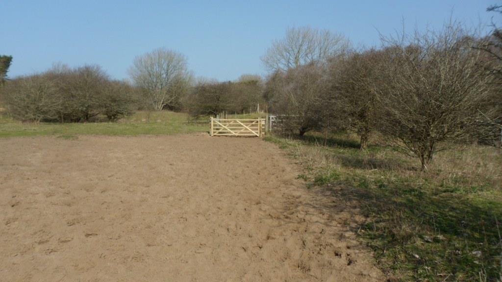
follow the track a little west of north, through another gate

Image

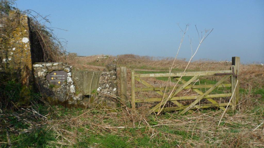
When the track divides, go left and through a gate (or over the stile)

Image

and turn left on a stony lane to Tythegston.

Cute calves in the field

Image

And the view of the church from the far slope

Image

Tythegston is a pretty village with old houses and a pottery. The church is now a wedding boutique (!) but the eleventh-century cross slab is still in the churchyard

Image

And if you look very carefully at this stone over the north window of the chancel you can just see the shaft of the cross on a later medieval tomb slab.

Image

Walk past the cross, turn left on the main road and right immediately along a road marked ‘Unsuitable for motor vehicles’. In a few hundred yards, where a drive goes off to the right, take the waymarked footpath sharp right.

Image

This is stiled and waymarked across the fields – cute lambs –

Image

past the ruins of Ty-erfin

Image

up to the main road and turn left. (The stile here is a bit dodgy.)

Image

The road isn’t too much of a problem – there is a pavement and a central reservation which makes crossing easy. In a few hundred yards there should be a stile on the other side and a footpath across the fields to Upper Park Farm. There has been some clearance here but the stile is heavily overgrown and unsafe.

Image

We need to rethink this bit. After Park Farm you can cut across Stormy Down but there are no clear paths and with the bracken up in the summer it wouldn’t be easy. We eventually got back to the road to go under the M4. There is a rough stone stile into a field just beyond the M4 and a spiffy new gate on the footpath through the limeworks

Image

but how to get to it? And how to get through the lake beyond it? We went back to the road. The bridleway north of Stormy Down looks clear – we need to see if we can get to that from south of the motorway.

Walk along the minor road and across the railway line. When a track turns sharp right, take the waymarked footpath ahead to the right.

Image

Walk up the field, bearing slightly to the left of the hedge (and keeping to the left of the pylons) to go through a gate.

Image

Continue up the slope with the hedge to your right, go through a kissing gate

Image

and another farm gate. Bear left up the hill to pass to the left of the farmyard at Pen-y-castell – there is an encouraging municipal bench at the top –

Image

Also a bench mark.

Image

You need to keep to the left of the bench mark and bear left down the slope to a lane between the houses, then turn left on the road. In about 200 yards, just after the church, turn right down School Road. This becomes a metalled lane and goes down steps. Continue straight  on. Victoria Road becomes Crown Road. When the road bears right, take the footpath to the left, across a little bridge and up to cross the railway. Bear slightly right across the next field and follow the track along the edge of the fields up to the road.

Ahead of you is Hafodheulog Farm. This was one of the granges of the Cistercian abbey at Margam. The name means literally ‘The sunny summer farm’. Hafodheulog is on higher ground that the granges at Llangewydd and Horegrove, and you can imagine the lay brothers bringing the herds up there in the spring. In the woods behind the farm is an even more remote grange, Hafod Deca, where they could have pastured sheep in the summer. Llangewydd, Horegrove and Hafodheulog are still substantial farms but Hafod Deca is a ruin in the forestry plantation. I have a memory of finding the ruins when I was walking up there twenty years ago but they are nowhere to be seen now – did I imagine it?

Take the lane to the left of Hafodheulog, go over the stile at the end and bear slightly left across the field to a stile (heavily overgrown when we were there, and the waymark in need of attention!). From here we walked up the lane past Pentre Farm but it was very difficult to find the footpaths to the left of the road. There has been a lot of felling in the forest, and the forest roads are in poor shape after a very wet winter. You have to cross the Cynffig river and there is no footbridge, just a ford. We may have to rethink this bit as well: you could go left after the overgrown stile and walk up the lane to Troed-y-rhiw Farm. From there the track along the edge of the forest and across the fields is fairly clear, though it may need to be kept clear in the summer. The track goes behind Graig-goch and into Margam Park, and you can follow a footpath across the park and out on the road from the Crugwyllt ridge down to the church and the Margam Stones museum.


Back on the heritage trail …

posted in: Heritage Paths | 0

One fine day a fortnight ago – so we went out with Laleston Community Council, Bridgend CBC’s footpaths maintenance officer and Chris Jones-Jenkins who is doing the reconstruction illustrations, for another look at the proposed Merthyr Mawr and Laleston Stones trail. The footpath across the fields to Laleston and up to Llangewydd worked well and Chris had some very pertinent questions about the appearance and function of wayside crosses, the ‘look’ of the church and village at Llangewydd and the possible location of the ‘castle’ (was it ever more than a fortified residence?). But the walk back across the fields towards Candleston was tricky. The main road crossing was clearly dangerous (why is it so much worse crossing at that point – the crossing on the way to Laleston is usually OK?). The gates all sat in small lakes, and there was standing water across the path. Cara obligingly waded in and the water came to her shoulders so we didn’t bother. In any case there was a fence blocking the path beyond the mini lake. We decided to avoid the path to Candleston because it tends to turn into a river, but the alternative path back to Merthyr Mawr was even worse. The small ditch at the side of the field had turned into a 2-foot deep torrent. We jumped, scrambled, traversed fences … there were waymarks and stiles all the way but that isn’t much help when the stile is sitting in a foot of water!

On the other hand we all had a great time. But it clearly isn’t a walk for the inexperienced or faint-hearted. The community councillor suggested we look again at walking back along the Ffordd y Gyfraith: apparently it’s being closed to traffic at one point to enable it to be used as a walk-to-school route, so it would make a nice safe walk.

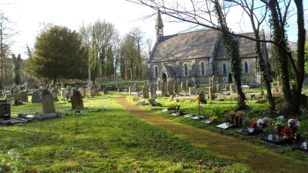
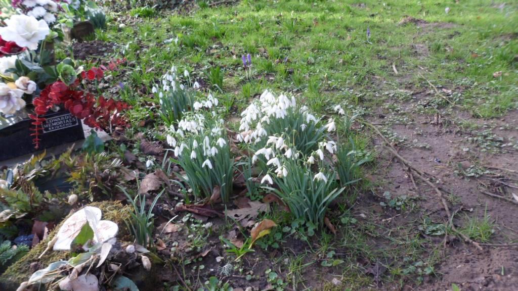
There was another fine day this week so Cara and I went out for another go. The sun shone and there were snowdrops and crocuses in the churchyard at Merthyr Mawr.

Image

Image


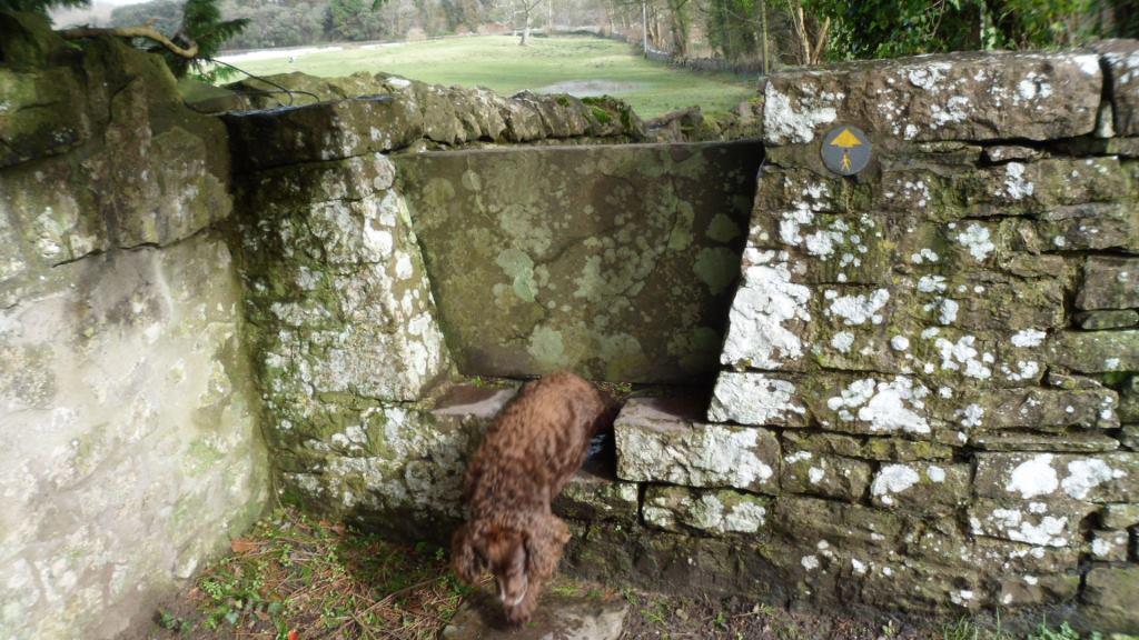
The community councillor had also suggested we use the footpath behind the church to cut off a bit of the road walking. Cara doesn’t like stiles but she has her own way of dealing with these stone stiles …

Image

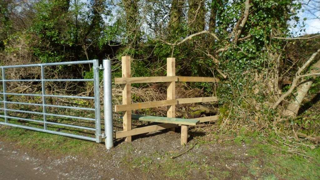
The lane to Whitton Farm has a nice new gate and stile.

Image

This time we walked over the fields and straight on to Laleston village. The footpath goes along a very long narrow field – could this be the remains of the strip field system? The lane from the church and across the fields to the Ffordd y Gyfraith is muddy but passable – then you can continue as we did before to Llangewydd but walk straight back along the Ffordd y Gyfraith, or for an off-road route turn off at the kissing gate by the housing estate and return to the original route across the fields.

I still like the route past Candleston. You can bypass the lake and the blocked footpath, and once you get to the forest edge the path is good past Candleston Farm. But the track past the sand dunes was over a foot deep in fast-flowing water. We explored the horse track up the edge of the dunes.

Image

It’s not a good alternative at that point because you have to climb all the way up and go over a mile to the west before you can turn left and make your way south to the car park. But you can get to the bridleway across the dunes from the top lane past Candleston Farm. It adds about 2 miles to the route but it’s a lovely walk across the dunes with views out to sea and over Ogmore Castle.

So I’ve rewritten the leaflet and sent it off, suggesting a basic circuit across the fields to Laleston, up the Ffordd y Gyfraith to Llangewydd then back down the Ffordd y Gyfraith to Merthyr Mawr, with the Candleston route as a fair-weather option. There’s still a bit of work to be done on stiles and waymarks but it should be in place by the summer.

The Holy Rood of Llangynwyd

Llangynwyd is probably most famous now as the burial place of Ann Thomas, the ‘Maid of Cefn Ydfa’, and her poet lover wil Hopcyn. (More about them at http://en.wikipedia.org/wiki/Ann_Maddocks ). But in the Middle Ages it was famous as the shrine of the Holy Rood of Llangynwyd, a carving of the Crucifixion that was so vivid it was believed to be able to perform miracles. People went there on pilgrimage, the poets wrote in its praise.

We can still trace many of the routes pilgrims would have taken to get to Llangynwyd. One route came over the hills from the east, and ran between Llangynwyd and the even more famous shrine of the Virgin Mary at Penrhys. One route came from the coast at Margam, where the Cistercian monks had custody of the shrine. And one route came from the south, from the rich farmland of the Vale of Glamorgan. This was the route called the Ffordd y Gyfraith, the ‘Road of the Law’, because it was also the route that officials took, travelling from the lowlands to the wild hill country.

You can still trace these routes on the ground. They are marked by lines of hollow trails, worn into the hillsides by generations of travellers. The line of the Ffordd y Gyfraith is also marked by the bases of wayside crosses which would have shown travellers they were on the right track. There is one called Croes Antoni on Ogmore Down, one where the Ffordd y Gyfraith crosses the main road at Laleston, and one which marks where the line of the road was diverted to go round Margam Abbey’s Llangewydd Grange.

Old pilgrimage routes still make good walking. The have a sort of resonance, from all those footsteps of people travelling in hope. Looking at the hollow trails worn into the hillside on Mynydd Ty-talwrn, and the little platforms that are all that’s left of peasant cottages and bigger farmhouses, you realise that these empty hills were once home to a thriving and complex society.

I’m working with Merthyr Mawr and Laleston community councils on a circular route round their villages, looking at the heritage of early Christian carved stones and later monastic granges (more on that at https://www.heritagetortoise.co.uk/2013/11/laleston-stones-trail/ ). Part of the route of that goes along the Ffordd y Gyfraith.  More, the church at Laleston has a very strange medieval tombstone with three crosses on it which may be based on the design of the rood at Llangynwyd, showing the two thieves as well as Christ on the cross .

So taking the route north from Laleston to Llangynwyd is a good idea for all sorts of reasons. It isn’t entirely straightforward … for the first sections of the route and their problems see  https://www.heritagetortoise.co.uk/2013/11/laleston-to-parc-slip/  and https://www.heritagetortoise.co.uk/2013/11/heritage-trails-again-2/ . But it still looks doable. So taking advantage of a break in the rain on Thursday, Cara and I headed back to Parc Slip, walked up to the ridge and explored the footpaths down to Llangynwyd.

The line of the Ffordd y Gyfraith clearly went along the hollow trails you can see coming down the Glamorgan Ridgeway from the radio mast.

Image

At this point the modern road goes west of the old track. In about half a mile you take a waymarked footpath to the right. Bear left across the first field, heading for an old gatepost. Ahead of you on the skyline are the earthworks of a big complex of ruined buildings.

Image

Image


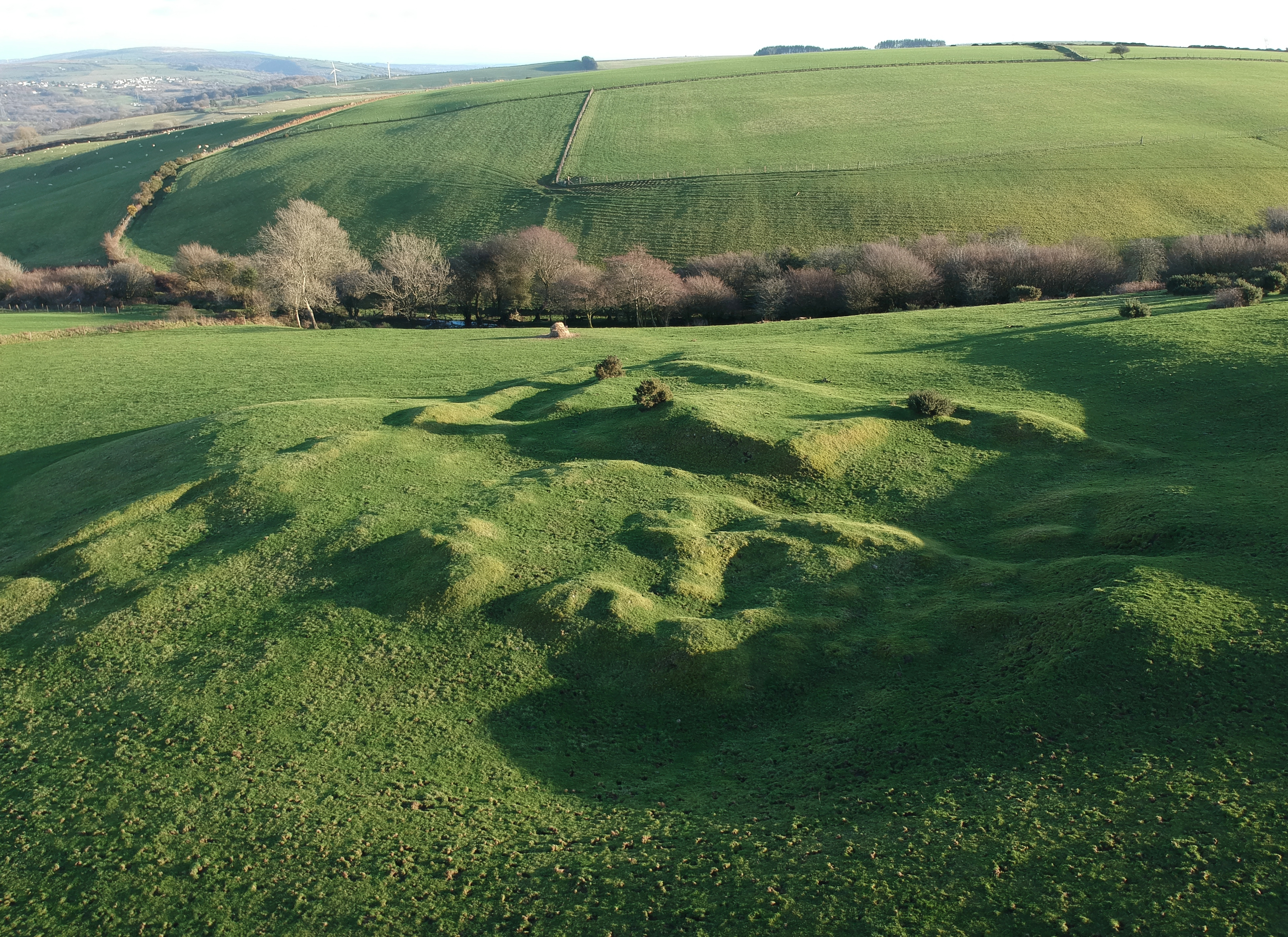
This is called ‘Farmstead’ on the modern OS map but older maps call it the ‘British Residence’. When the archaeologists Cyril and Aileen Fox were surveying this area in the 1930s, they thought this and the house platforms on Mynydd Ty-talwyn were the remains of early medieval farmsteads. They eventually decided they were later, probably built in the twelfth and thirteenth centuries when the climate was better and you could farm the hills. When the climate got dramatically worse in the early fourteenth century, there were famines followed by the Black Death and most of these settlements were deserted. Recently, an American archaeologist has revived the idea that this was an early medieval settlement. My friends in the Archaeological Trust say it is much, much later, possibly post-medieval. But the hollow trails of the Ffordd y Gyfraith run through the site, and seem to go through some of the buildings –

Image

so my guess is that it’s medieval, and that it was deserted by the time the pilgrimage became popular in the fifteenth century.

Paul Davies has sent me some splendid aerial photos which make the whole site much clearer.

DCIM/100MEDIA/DJI_8228.JPG
DCIM/100MEDIA/DJI_8798.JPG
DCIM/100MEDIA/DJI_8216.JPG


Paul’s survey suggests the site was first two house platforms, one large and one small, and that the farm complex was built over these. Meanwhile, in an article in the 2019 volume of Morgannwg, Stephen Davies has identified the site as the Nant y Dulles which was the home of the medieval steward of Tir Iarll. This really needs a blog post of its own – meanwhile Paul Davis’s aerial photos are wonderful.

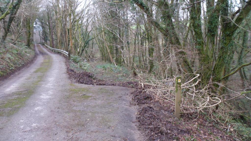
Walk across the next field to the head of a little valley. Walk down a rough farm track with the stream on your left, then cross the stream and walk up the track to Maescadlawr farm. Take the footpath to the left  just past the farmyard and bear right across two fields. Go through a gate and cross the metalled lane. Walk down the lane towards Bryncynan farm. Just before the farmhouse, the track bears right and goes downhill. At the bottom, cross a stream then turn left on the roughly metalled track to Gadlys Farm. At the farmhouse take the track to the right and look out for an overgrown but waymarked footpath down to the right.

Image


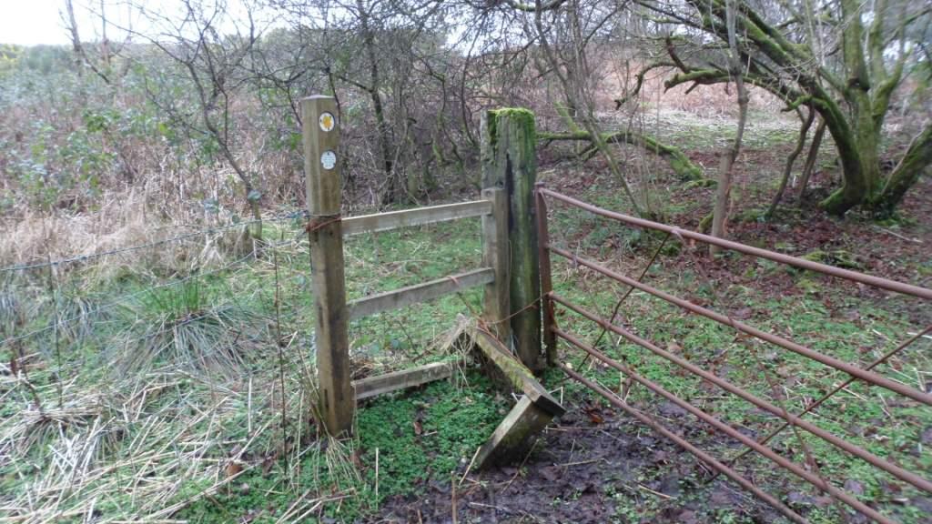
This takes you across a bridge. Go over the rather battered stile to your left.

Image

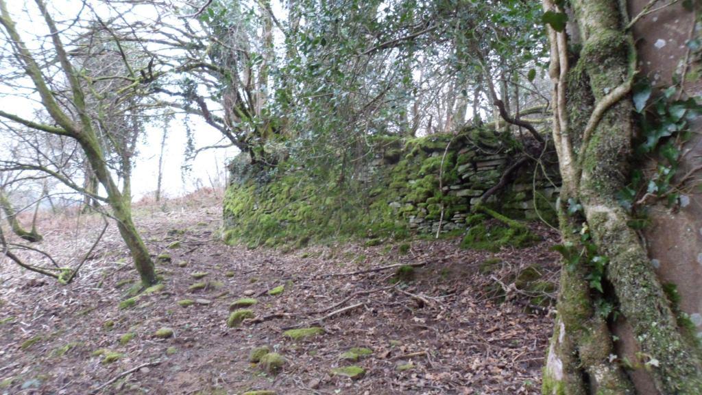
From here a faint path runs along the right bank of the stream and into the woods then bears up to a mossy and tumbledown stone wall.

Image

When you reach the corner of the wall, turn right and follow the faint path up the field towards the top right corner, then follow the field boundaries to your right up to the minor road. Once you go under the line of pylons you will see the whitewashed tower of Llangynwyd church ahead of you.

So far, so good. Merthyr Mawr to Llangynwyd would be a good day’s walk: you could find a local B&B then walk on along the suggested Cistercian Way route to rejoin the coast at Margam. But if we want a circular walk back to Parc Slip or Laleston there may be problems. You can retrace your steps along the minor road and take an earlier waymarked footpath along a track to the right. After a few yards the footpath goes left – there’s a nice new gate

Image

But the lane is very heavily overgrown, the fields are boggy, there are some dodgy fences …

Image

Bridgend CBC have done good work on stiles but once the path gets into the woods it disappears. There should be a footbridge leading to the lane from Gadlys farm but I couldn’t find it. In the end we took a path to the left, and went back to Parc Slip the way we came. I need to have another look at this one from the other end. If we could clear and waymark that bit of the path through the woods, then clear the blocked lane near Ffynnon Iago, we’d have a good circular walk from Parc Slip.

Laleston to Parc Slip

posted in: Heritage Paths | 0

Well, we always knew this would be the tricky bit of the route. We actually started doing it backwards from Parc Slip so Steve could park there and walk round the reserve while Cara and I went on. It started well – footpath waymarked from the Bankers Hill road, and we saw 3 deer, 2 does and a young stag, in the woods (but they crashed into the undergrowth before I could get the camera out).

Then it got tricky. The route is theoretically mostly clear but VERY muddy and difficult to follow. This is roughly how it would work if you were going north:

Probably best to follow the Merthyr Mawr – Laleston route in reverse so you go through Laleston village and across the field to the Ffordd y Gyfraith. Then when the Ffordd y Gyfraith gets to Cae’r Heneglwys, turn left and walk along the lane to the Cefn Cribwr road then take the footpath to the right through the woods. This brings you out on the road at the old pound. Go straight on here, with the site of Margam’s Llangewydd Grange under the brambles to your left and two atmospheric ruined farmhouses on either side of the railway line

.Image

Image

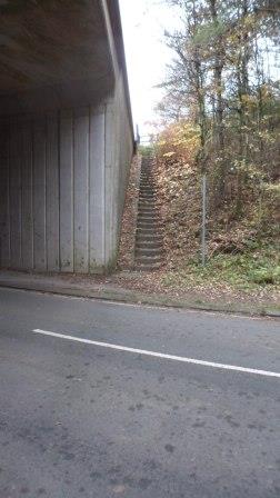
Eventually you go under the M4. Turn left immediately up some overgrown steps

Image

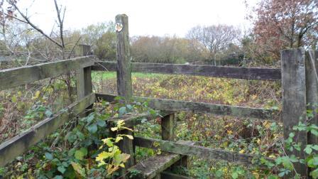
over a stile

Image

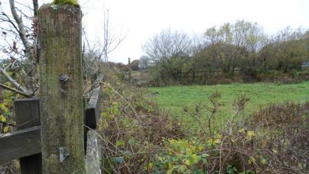
and across the field walking along the embankment above the motorway to another stile

Image

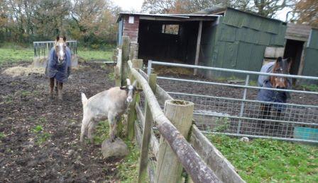
(this was where we met the goat!)

Image

Then it gets tricky – you need to bear right across the fields but they are deep in mud and there are no waymarks. Eventually you reach a roughly cleared track

Image


a not-very-useful stile

Image

and out on the Cefn Cribwr road.

You should go left here and there should be a path almost immediately going north but we couldn’t find it in the other direction. Instead we walked along the track down towards the old quarry. When you get to the skeleton of an old railway carriage

Image

you are back on track. Go through the gate, turn left and through another gate.

Image

I think the line of the footpath then goes down the fence to your right and across a little stream

Image

(virtually impassable, this bit) – then turn left and walk north of the line of trees as best you can. Eventually you get into the trees where there seems to be the line of an old embankment

Image

which becomes a lane (this was where we saw the deer)

Image

and comes out on the Bankers Hill road. From here it’s a short walk across the old railway line to the entrance to Parc Slip nature reserve.

So what do we say to Bridgend CBC – well, the route they want to Llangynwyd is doable but needs quite a bit of work before you can promote it. Up to them.


Heritage trails (again)

posted in: Heritage Paths | 0

The road goes ever on …

The trial round Laleston and Merthyr Mawr seems pretty much sorted. Bridgend CBC are keen to have a trail going north to Llangynwyd. Since the route round Laleston is themed around the pilgrimage route to Llangynwyd this seemed a no-brainer. And yesterday was a sunny day so Cara the pilgrim dog and I set off with our sandwiches.

Following the actual Ffordd y Gyfraith won’t work  beyond Llangewydd because most of it is a busy B road. It’s difficult to find footpaths shadowing it and crossing the M4, but the very minor road north from the Laleston pound goes under the M4 and there are footpaths across the fields, then a wiggle gets you into the Parc Slip nature reserve at Cwm Ffos.

More about Parc Slip at http://www.welshwildlife.org/visitor-centres/parc-slip-visitor-centre/ and something about walking trails in and around the park at http://www.glamorganwalks.com/parc_slip.htm . The long walk around the park looked promising so we parked there and set off north. The road past the reserve crosses the main Cefn Cribwr road and becomes a pretty lane to Cwmrisca farm.

Image


When you get to the farm, go through the gate to the right

Image

Some of the gates need a bit of attention but in general the path is well waymarked.

Image

You leave the fields, climb a steep slope and emerge on the ridge. Don’t take the obvious trackway to the left

Image

but bear right to join the old Ogwr Ridgeway (now renamed the Glamorgan Ridgeway)

Image

and turn left over this rather battered stile

Image

Follow the ridgeway past the mast on Mynydd Baeden and down to a minor road. You are now back on the medieval Ffordd y Gyfraith. The hollow trails running parallel to the metalled road suggest how much traffic it took.

Image

(here’s a detail with some sheep for scale)

Image


The little dimple on the far ridge of Mynydd Ty-talwyn is a house platform, all that remains of a deserted settlement. Many of these upland settlements vanished during the early fourteenth century, when the weather got dramatically worse, there were famines and mountain land could no longer be farmed. Harsh times.

Our world now has the opposite problem, the diseases of affluence – once you get back on the road, rubbish and fly-tipping is a problem.

Image

but the views are spectacular

Image


You can take a diversion along the track to Cefn Ydfa, home of the famous maid of Cefn Ydfa, the beautiful Ann Thomas.

Image

The story is that she was the daughter of a wealthy local farmer. She was in love with a young poet, Wil Hopcyn. But Wil was only a labourer and her family made her marry the son of another local landowner. She died of a broken heart. Wil wrote the famous Welsh song ‘Bugeilio’r Gwenith Gwyn’ in which he says he has watched the white wheat ripening but another man has the harvest. You can see memorials to both of them at Llangynwyd church.

I didn’t have time to explore the footpaths down into Llangynwyd – that will have to wait for another day. We walked on along the Ridgeway then down through the forest. The monks of Margam had a summer grange here called Hafod Deca. Walking here some years ago I thought I found the ruins of an old farmhouse but it is now nowhere to be seen. Did I really see it, or did I read about it and think I had seen it? Memory is a funny thing.

Below where the ruins might have been you rejoin the Glamorgan Walks route, cross a minor road and walk through the farmyard of Ffynnon Iago with its well under the trees.

Image

But after that the route gets bogged down and totally overgrown. We had to push our way through woods and I sank up to my knees in some very wet fields. Not an alternative route, then, and no scope for a circuit. But once you reach Llangynwyd there are routes off in all directions – east to the railway station, east and west along the Glamorgan Ridgeway, following the pilgrimage route down to Margam, or north to join Andrew Dugmore’s Cultural Olympiad route.

We got back to Parc Slip in the twilight –

Image

more fine tuning next week.