Well, we always knew this would be the tricky bit of the route. We actually started doing it backwards from Parc Slip so Steve could park there and walk round the reserve while Cara and I went on. It started well – footpath waymarked from the Bankers Hill road, and we saw 3 deer, 2 does and a young stag, in the woods (but they crashed into the undergrowth before I could get the camera out).
Then it got tricky. The route is theoretically mostly clear but VERY muddy and difficult to follow. This is roughly how it would work if you were going north:
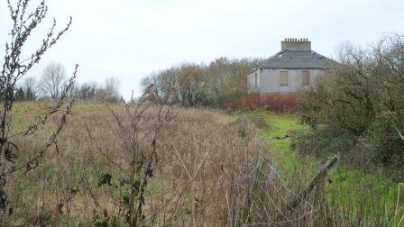
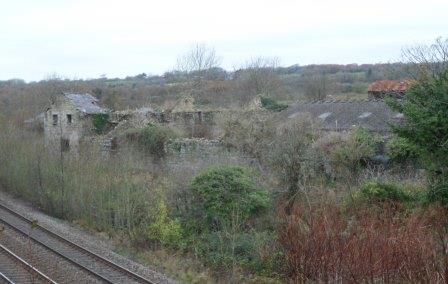
Probably best to follow the Merthyr Mawr – Laleston route in reverse so you go through Laleston village and across the field to the Ffordd y Gyfraith. Then when the Ffordd y Gyfraith gets to Cae’r Heneglwys, turn left and walk along the lane to the Cefn Cribwr road then take the footpath to the right through the woods. This brings you out on the road at the old pound. Go straight on here, with the site of Margam’s Llangewydd Grange under the brambles to your left and two atmospheric ruined farmhouses on either side of the railway line
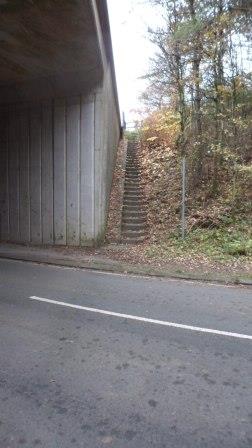
Eventually you go under the M4. Turn left immediately up some overgrown steps
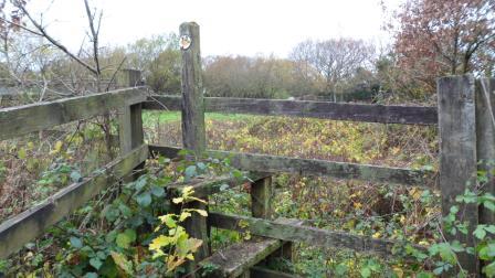
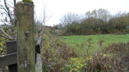
over a stile
and across the field walking along the embankment above the motorway to another stile
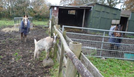
(this was where we met the goat!)
Then it gets tricky – you need to bear right across the fields but they are deep in mud and there are no waymarks. Eventually you reach a roughly cleared track
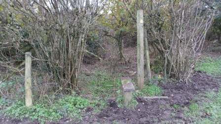
a not-very-useful stile
and out on the Cefn Cribwr road.
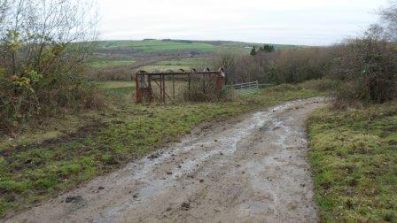
You should go left here and there should be a path almost immediately going north but we couldn’t find it in the other direction. Instead we walked along the track down towards the old quarry. When you get to the skeleton of an old railway carriage
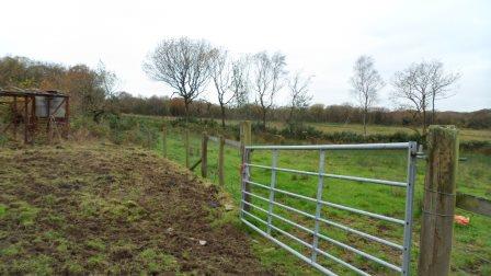
you are back on track. Go through the gate, turn left and through another gate.
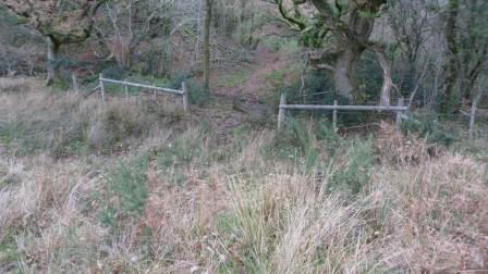
I think the line of the footpath then goes down the fence to your right and across a little stream
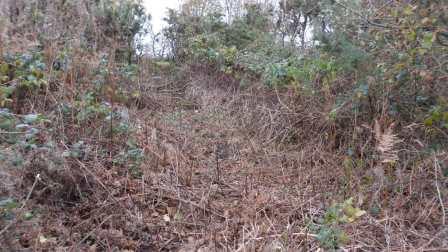
(virtually impassable, this bit) – then turn left and walk north of the line of trees as best you can. Eventually you get into the trees where there seems to be the line of an old embankment
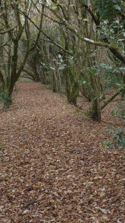
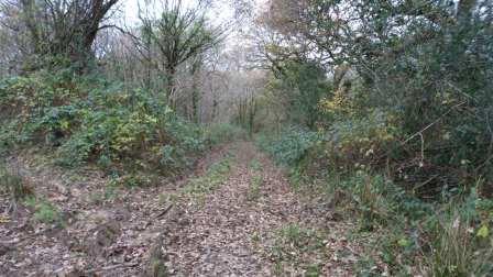
which becomes a lane (this was where we saw the deer)
and comes out on the Bankers Hill road. From here it’s a short walk across the old railway line to the entrance to Parc Slip nature reserve.
So what do we say to Bridgend CBC – well, the route they want to Llangynwyd is doable but needs quite a bit of work before you can promote it. Up to them.


Leave a Reply