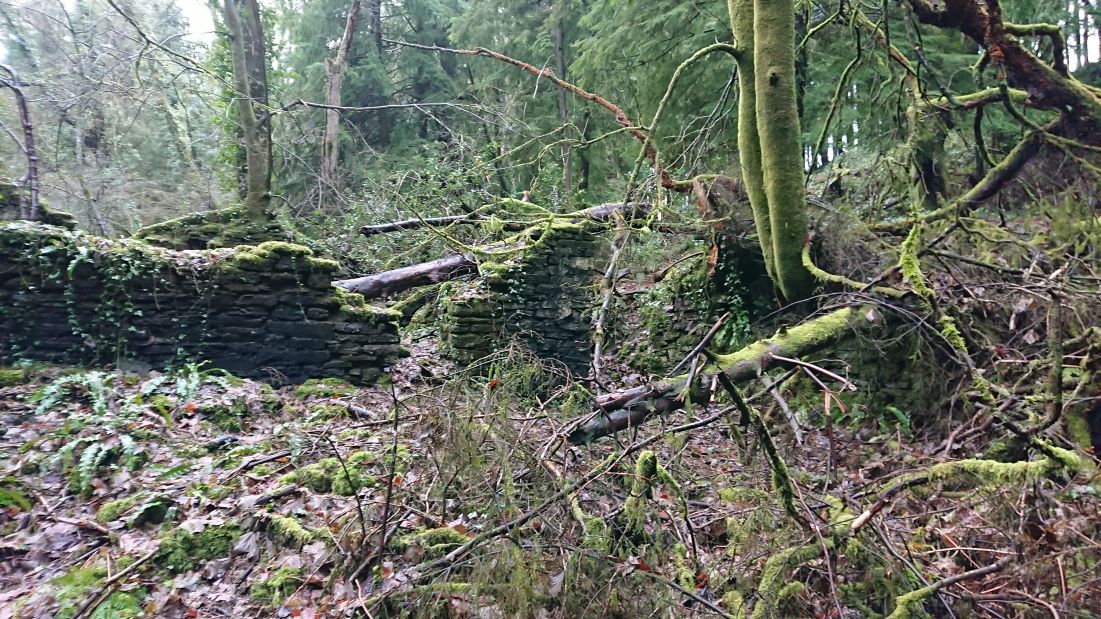
Back to Coed Rhiw’r Ceiliog to look for those ruins in the middle of the wood. On the tithe plan they are described as cottages and gardens, belonging to William Booker, Thomas and Elizabeth Matthews and William Gedrick and tenanted by Richard Blackmore and Co. (presumably Richard Blakemore, owner of the Melingruffydd tinplate company?). The first edition 6” OS map at https://maps.nls.uk/view/102342583 , surveyed 1872-5, does not give them a name but plans them out in some detail, with their gardens and a cleared patch to the south. The second edition OS 6” at https://places.library.wales/browse/51.54/-3.27/15?page=1&alt=&alt=&leaflet-base-layers_66=on calls them Maesaraul.
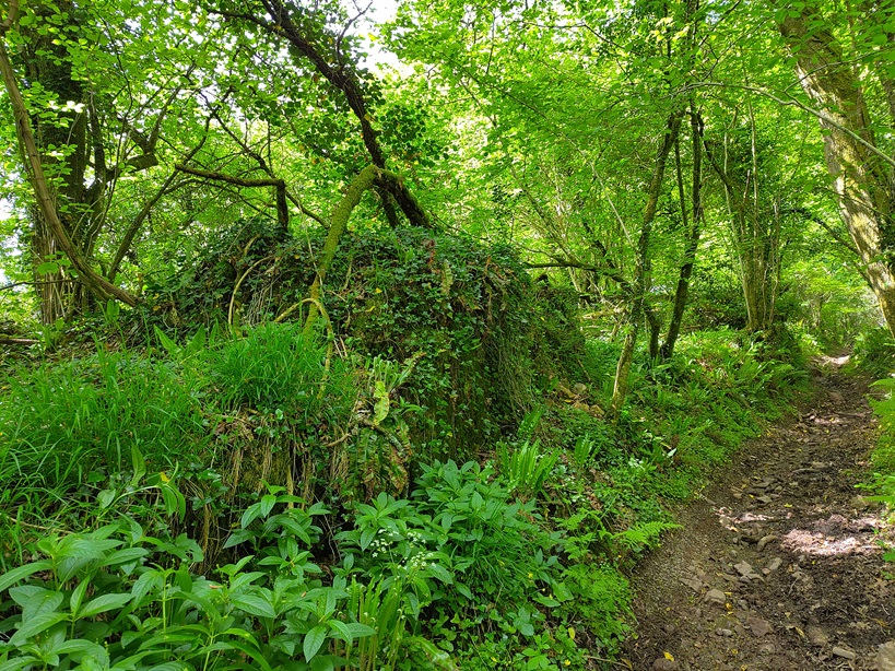
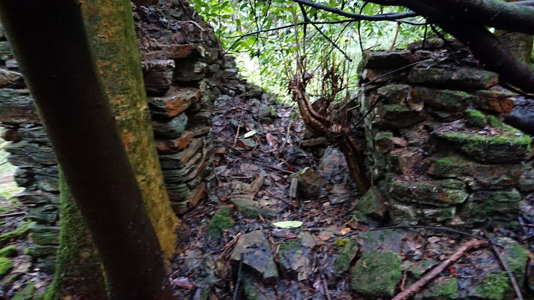
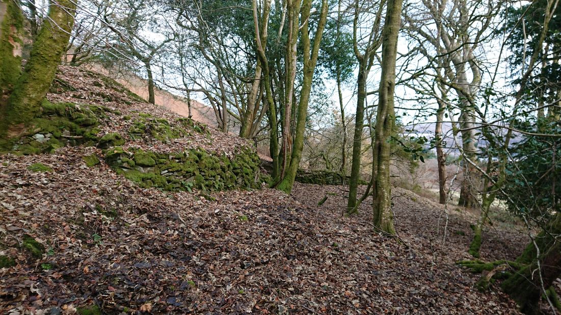
Both are described as cottages but the one to the east is more substantial
with what looks lilke an enclosed yard
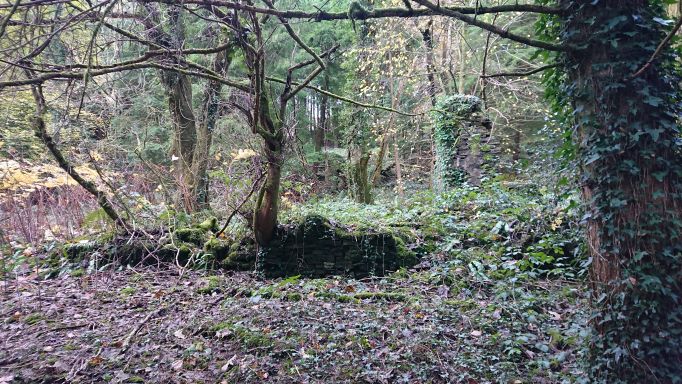
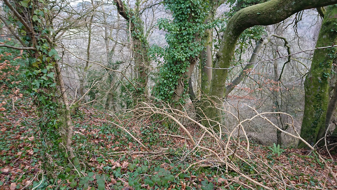
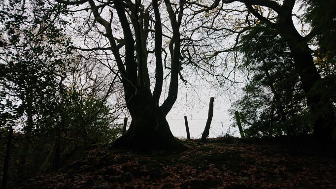
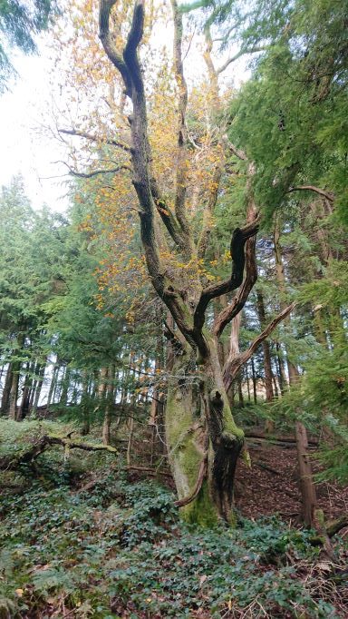
and some hefty beech trees around it.
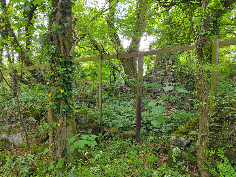
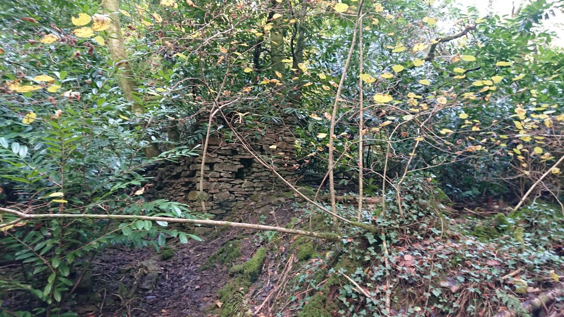
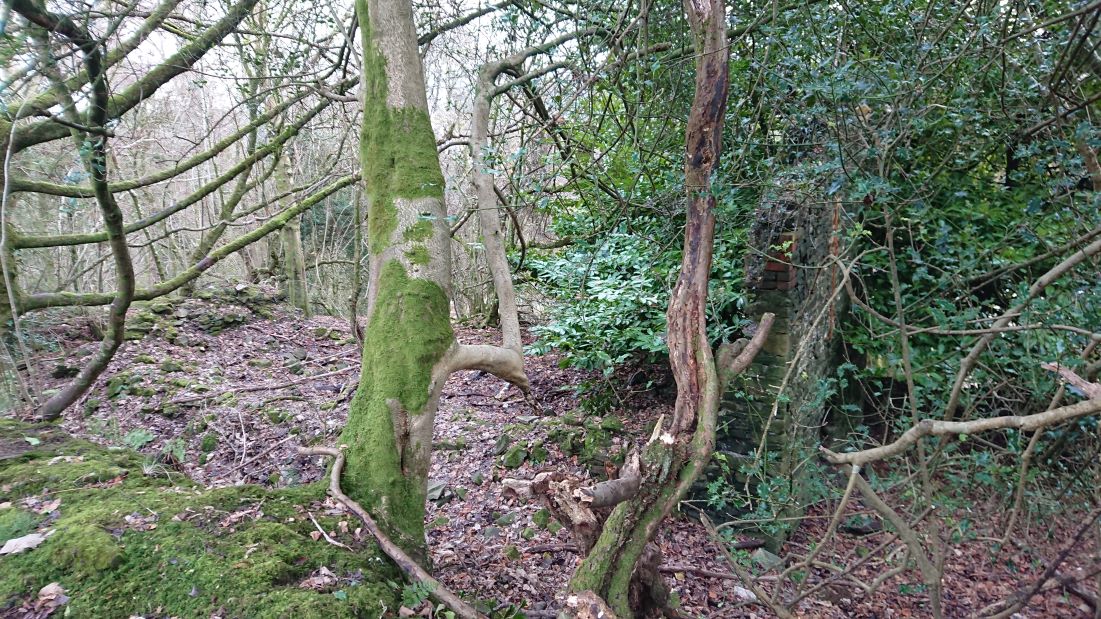
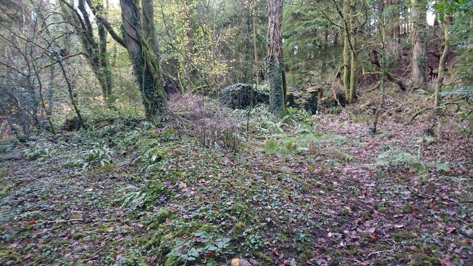
The one to the west is smaller.
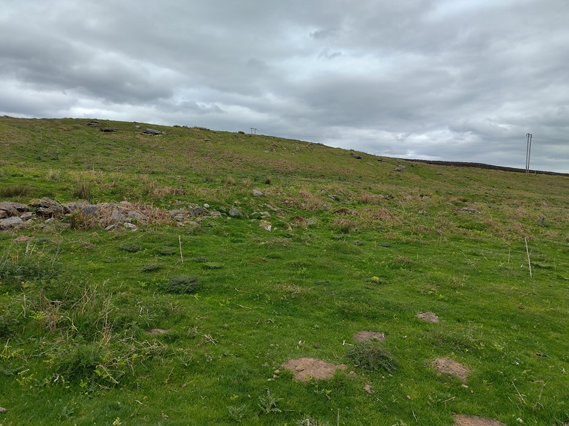
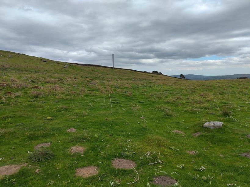
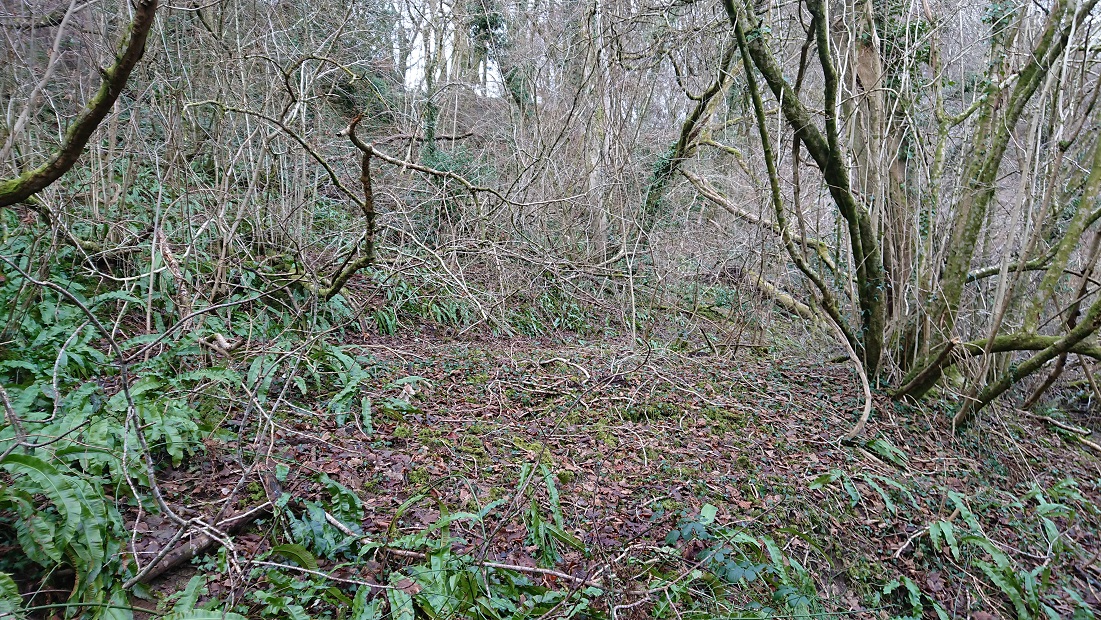
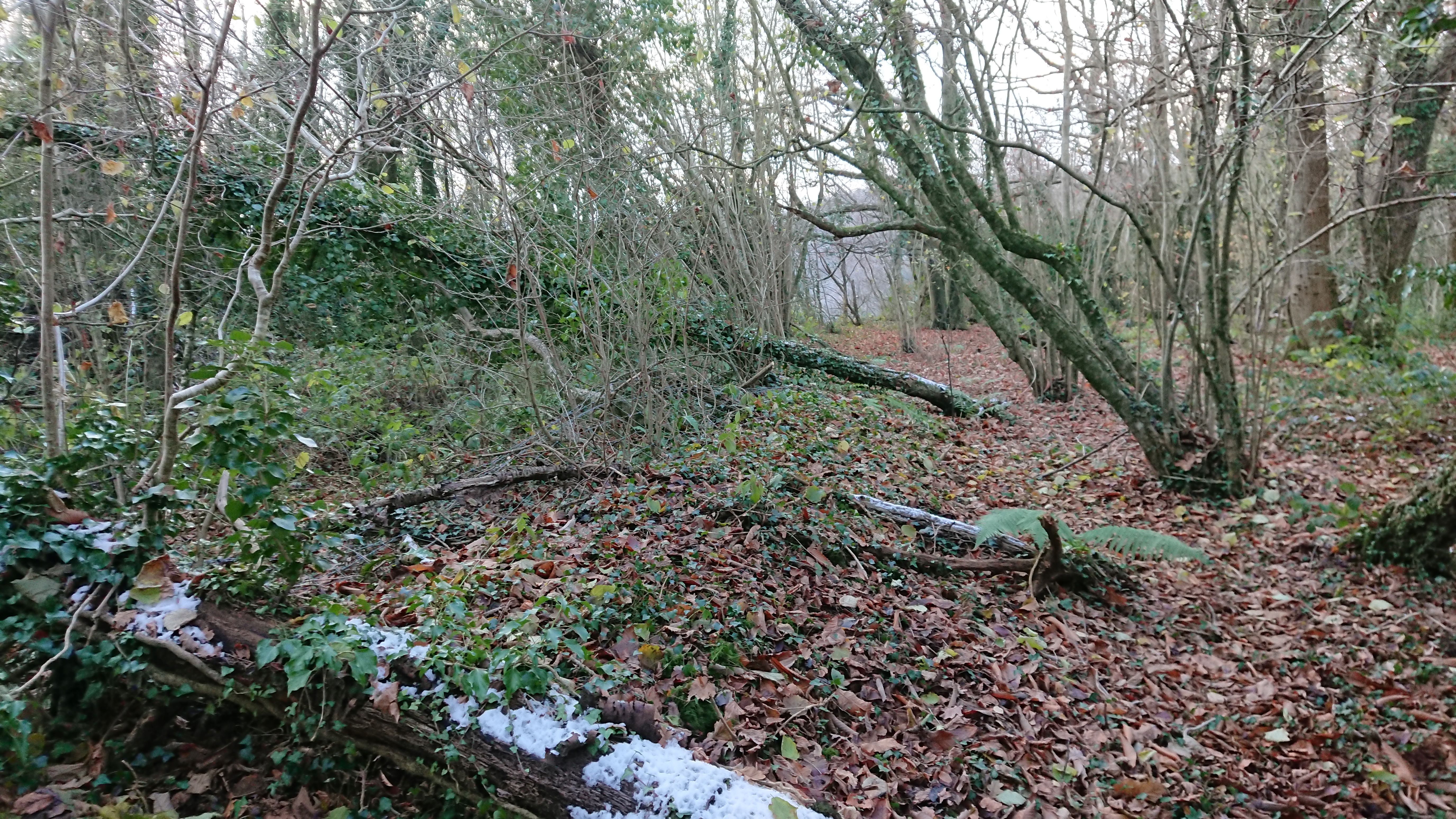
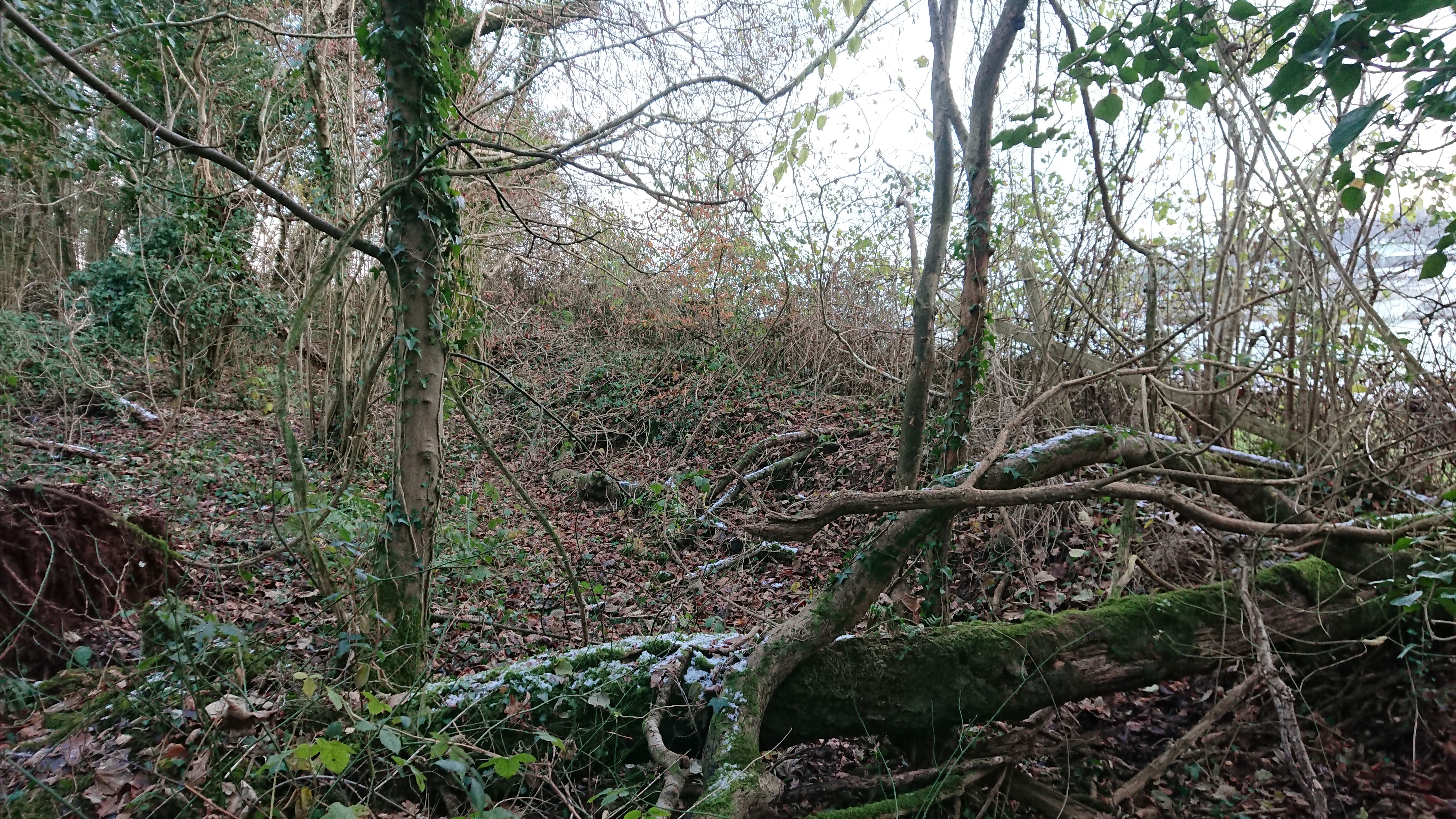
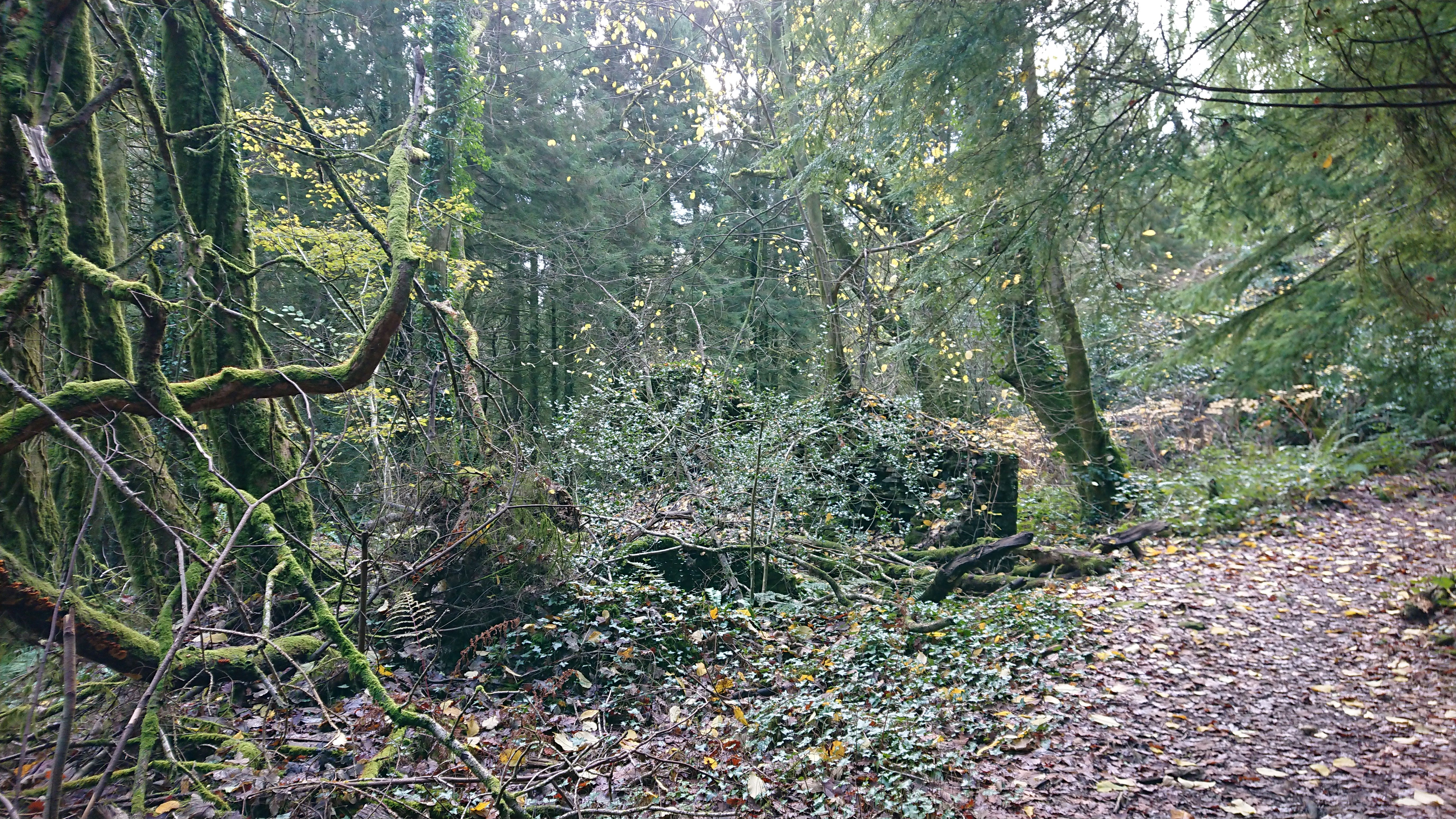
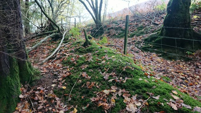
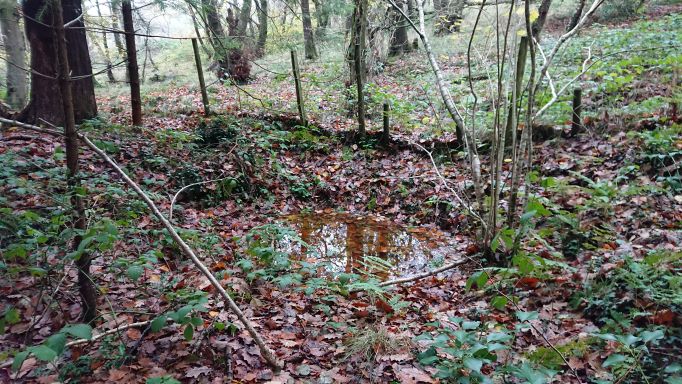
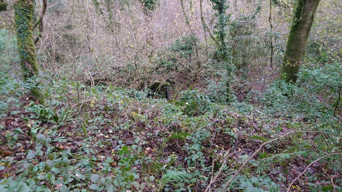
They might at one time have been farmhouse and labourer’s cottage, but by 1840 I am guessing that they would have been occupied by coal miners or iron workers, employees or subtenants of the Blakemores. As well as the early bell pits, there is plenty of evidence for later coal mining in the wood – including at least one pit big enough to need fencing off.

Time to look at the census.
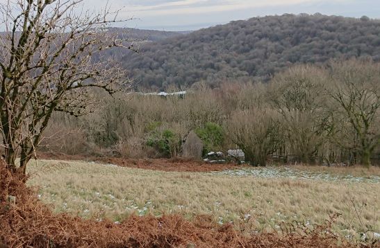
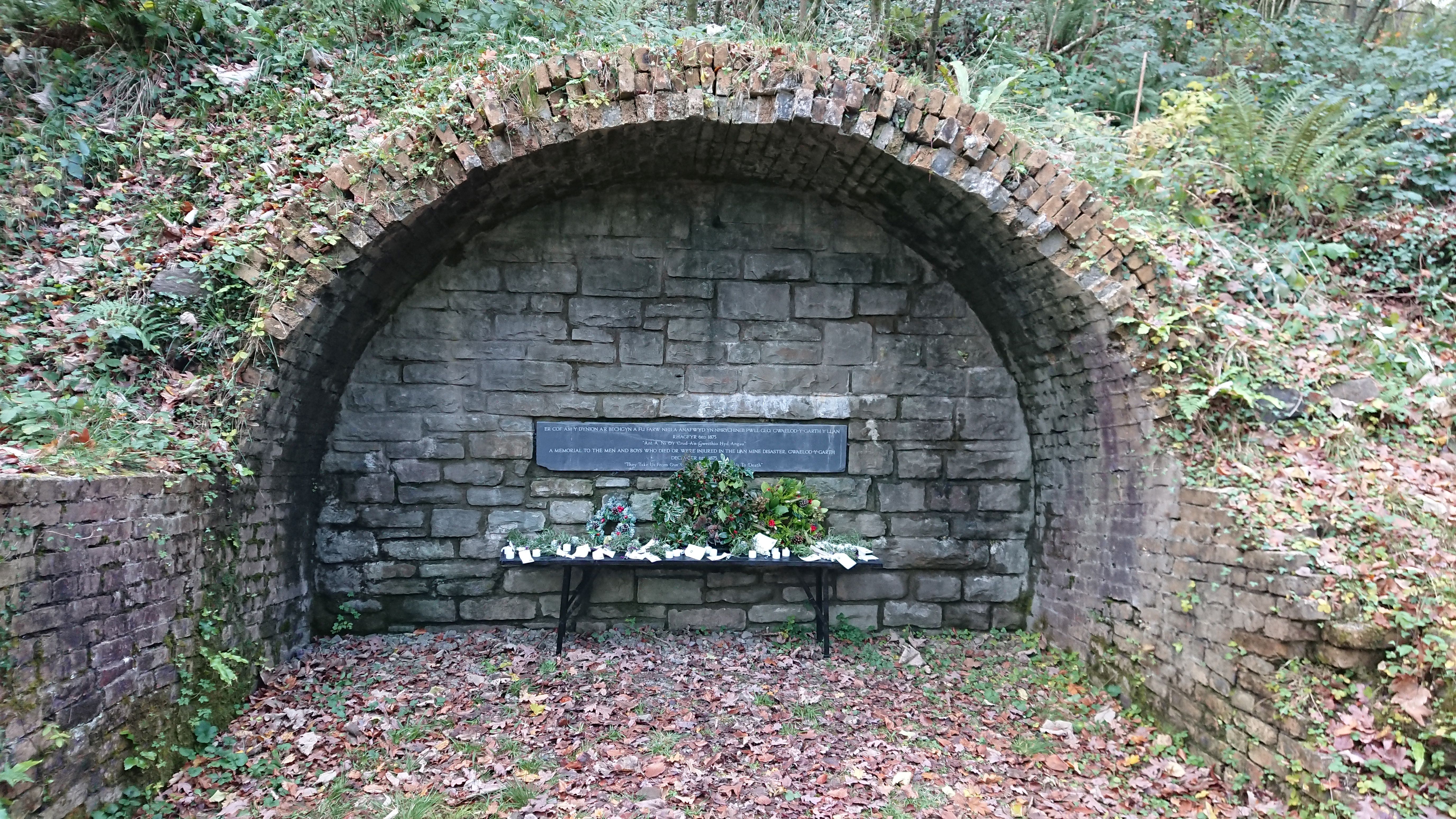
The biggest mine was of course the Lan mine, down at the bottom of the hill with a good interpretation board. This was the place of the great Lan colliery disaster in 1875. The children of Gwaelod school had added their contributions to a memorial to those who lost their lives.
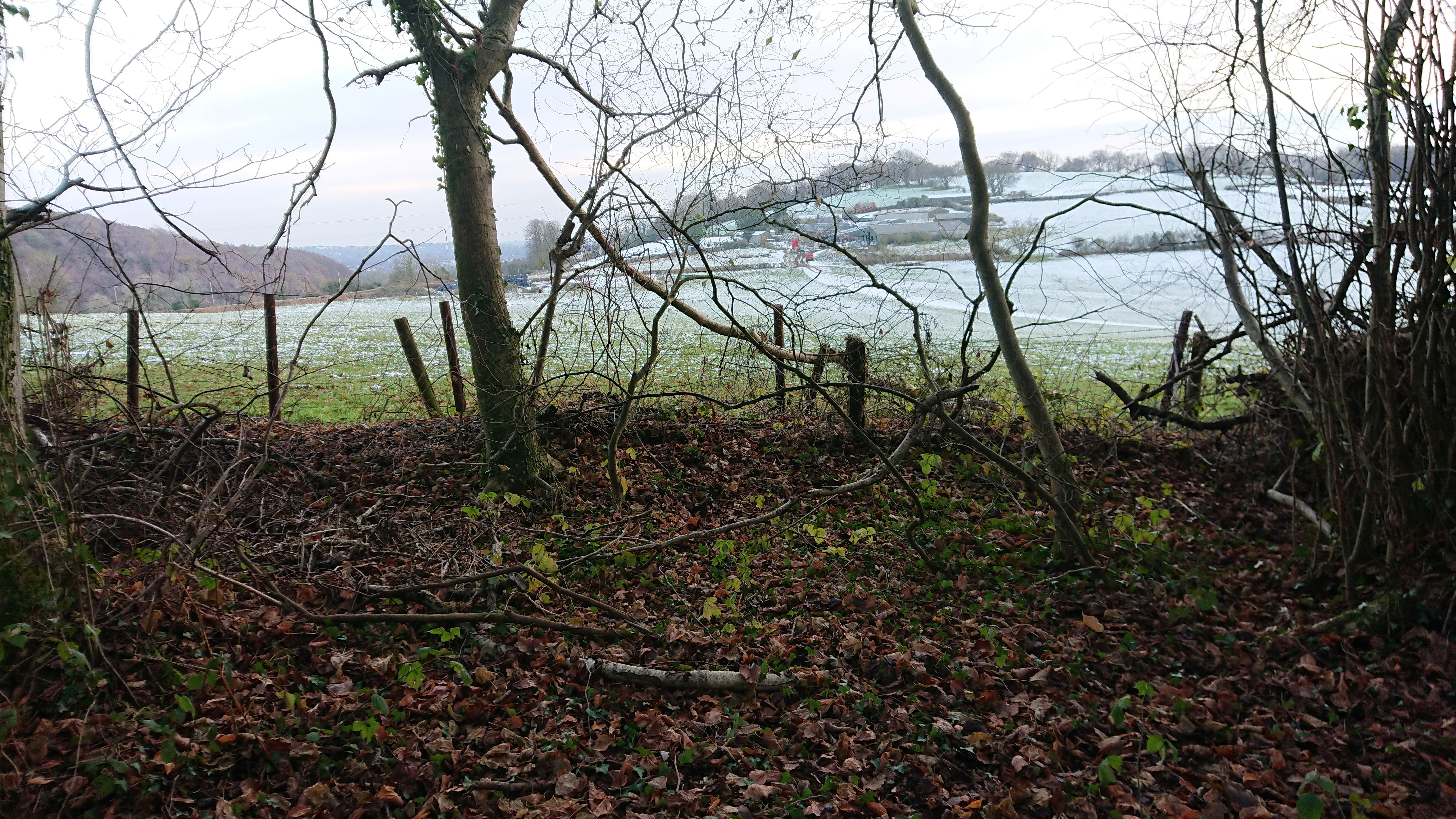
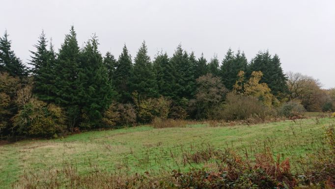
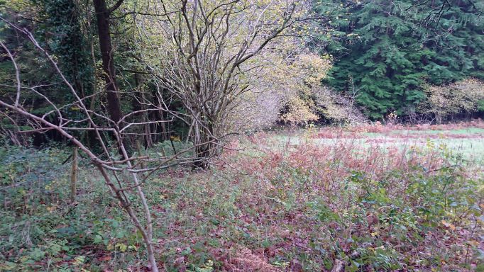
The tithe map is if anything confusing rather than helpful. The cottages are listed but are surrounded by what are described as fields (one arable, one meadow, a couple of pasture and one of 52 acres described as being ‘wood & pasture) part of a farm called Coedcae, belonging to the same group of owners as the cottages. Coedcae seems to cover the full extent of what is now Coed Rhiw’r Ceiliog, but the only patch of land actually called Coed Rhiw’r Ceiliog (or actually Coed rhiw Cylog) is the wooded area west of Bethlehem Chapel, part of the Dynevor estate. On the first edition OS 6” the whole wooded area seems to be what is called Coed y Rhiw-Ceiliog. The woods on the tithe plan are patchy. On the first 6” OS they are mixed conifer and broadleaf, on the second edition OS 6” they are all broadleaf. On the 1964 revision they are still broadleaf and the name for the cottages has vanished. Later 1” and 1:25,000 maps also show it as broadleaf. This is misleading, as the conifers are old and decaying – possibly planted in the great push for self-sufficiency in wood after WWII?
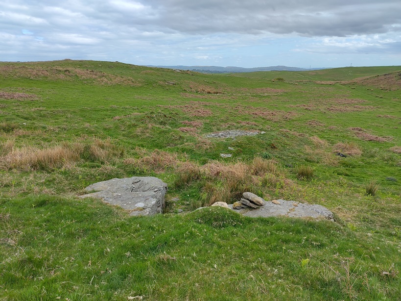
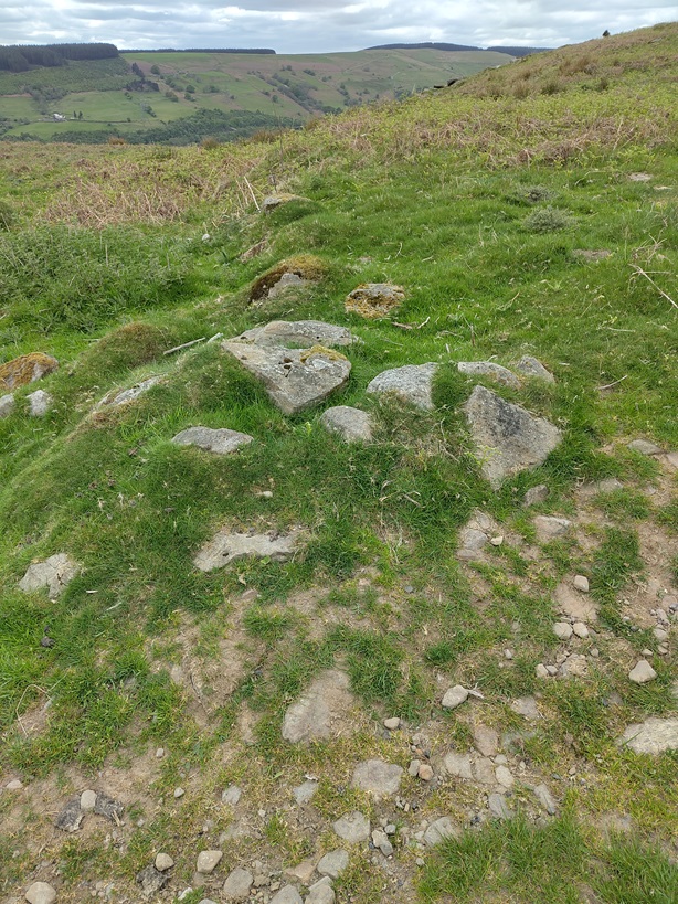
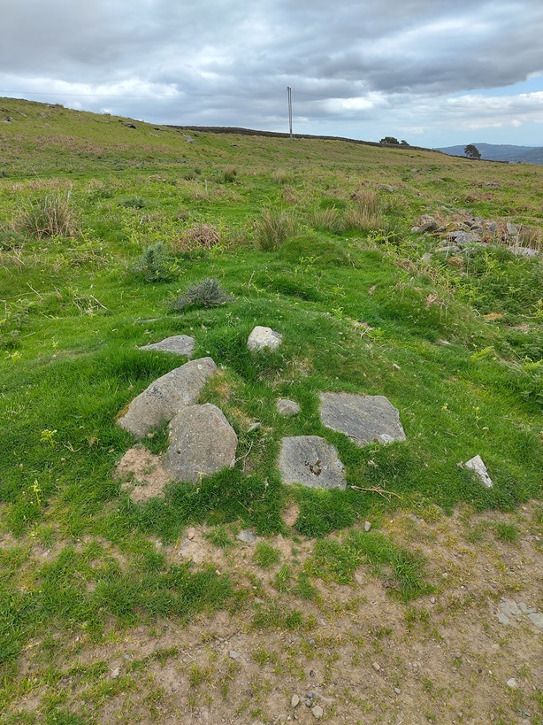
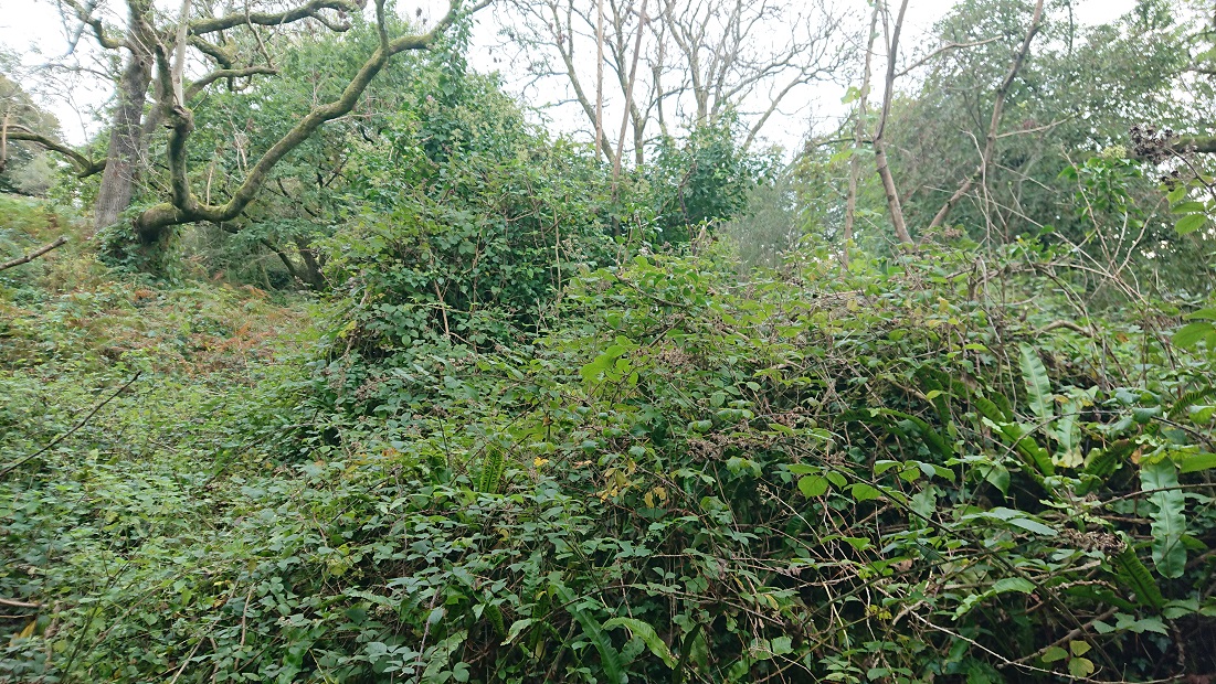
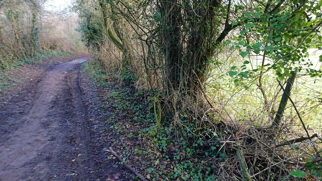
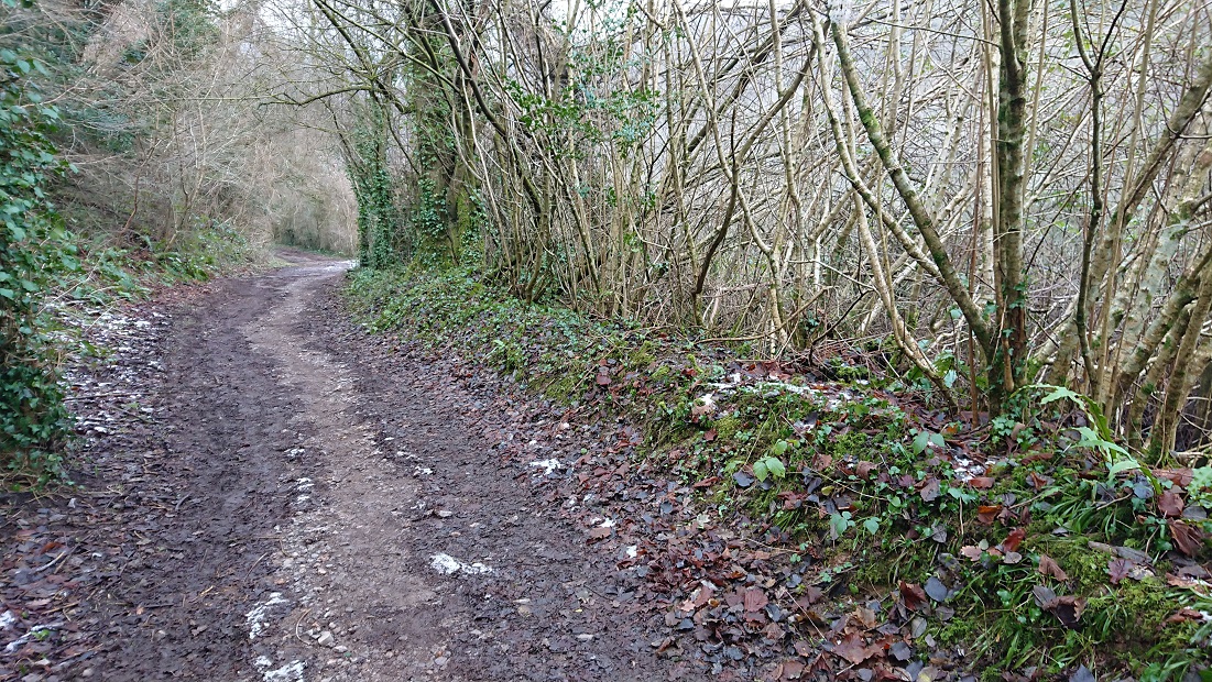
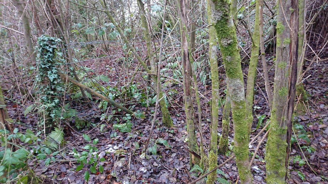
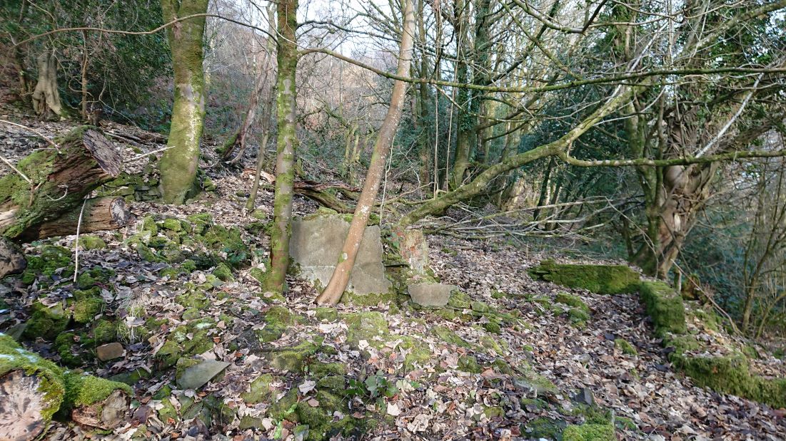
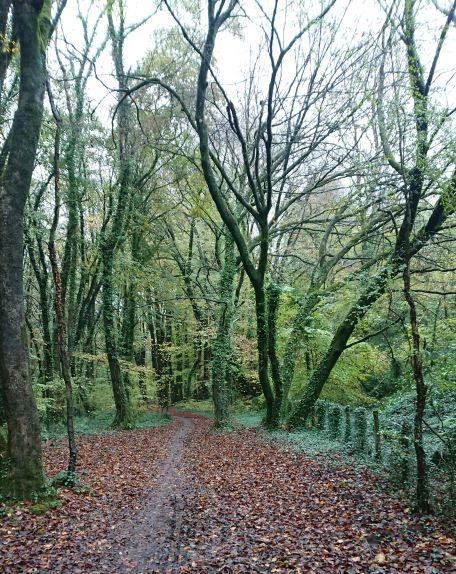
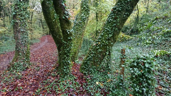
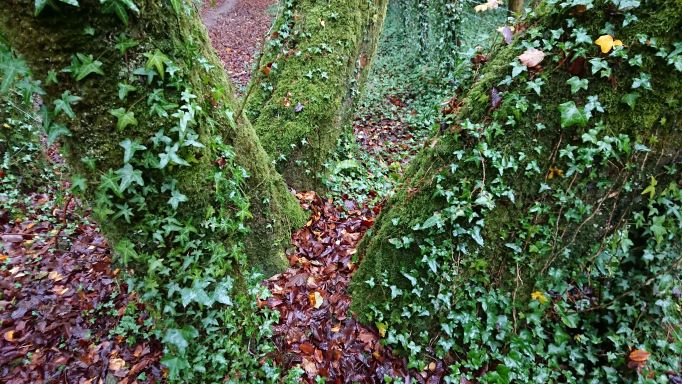
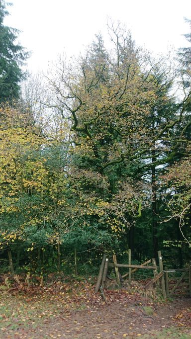
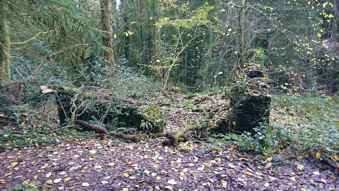
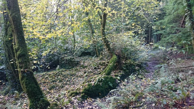
There is plenty else of interest in and around the wood. Once you start looking for house sites, you see them everywhere – is this, for example
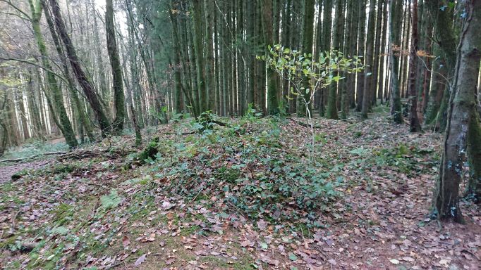
at about ST 11509 83359 some sort of structure, or just the upcast from a pit?
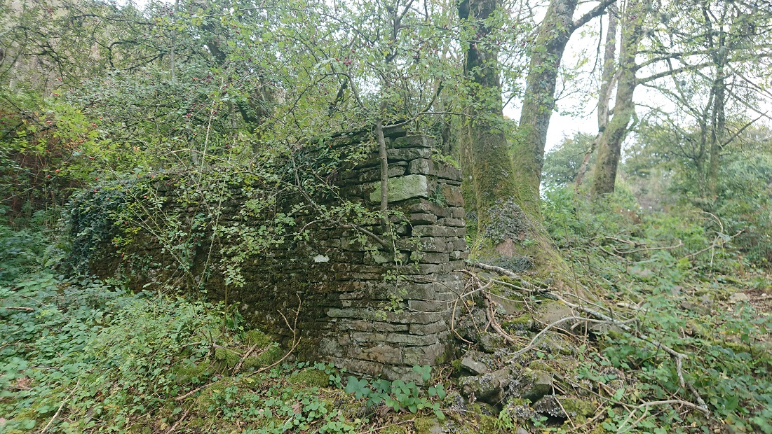
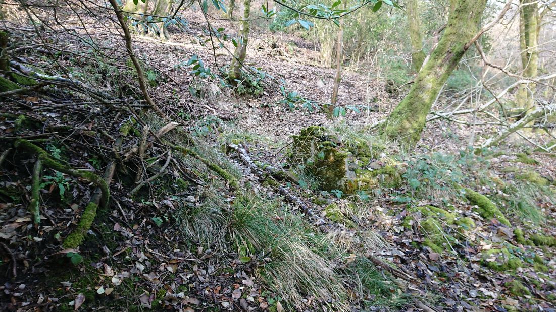
The Lan history group have been working on the housing north of the road – several cottages, and a pub, the Colliers’ Arms. There are the remains of houses below the road as well, along the track that leads to the woods. This one, at ST 11407 83558,
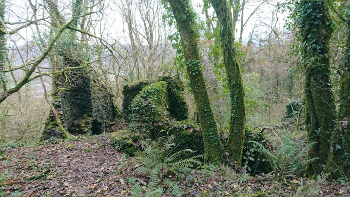
is quite substantial, with a separate little annex to the north
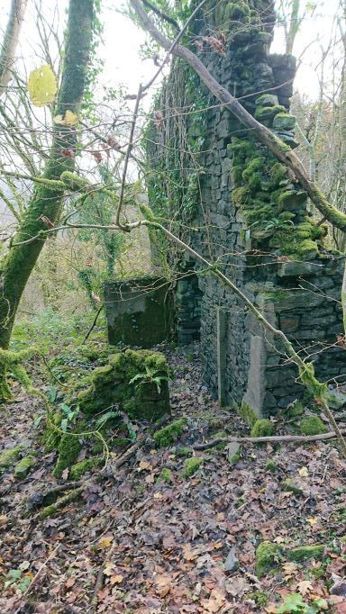
with its own chimney, and accessible only from outside. A wash house, maybe? The other, at ST 11415 83588
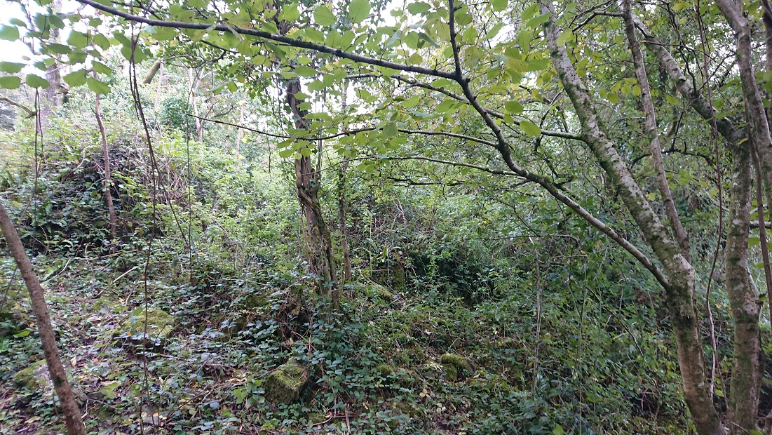
is completely inaccessible but seems from the OS map to have been roughly the same size. Neither is on the tithe map so they can’t have been farm houses.
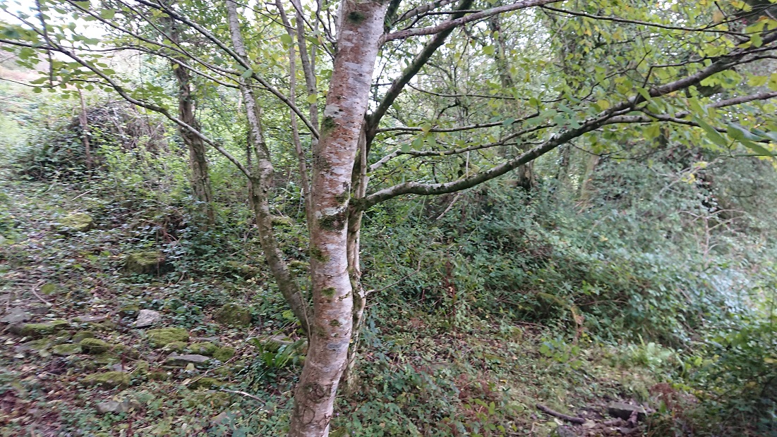
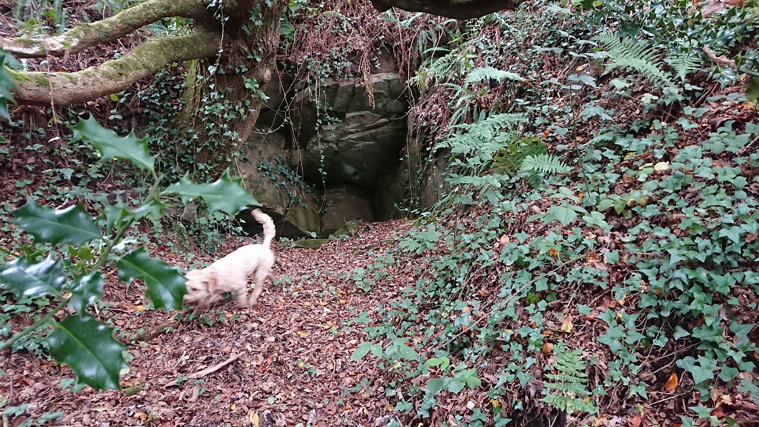
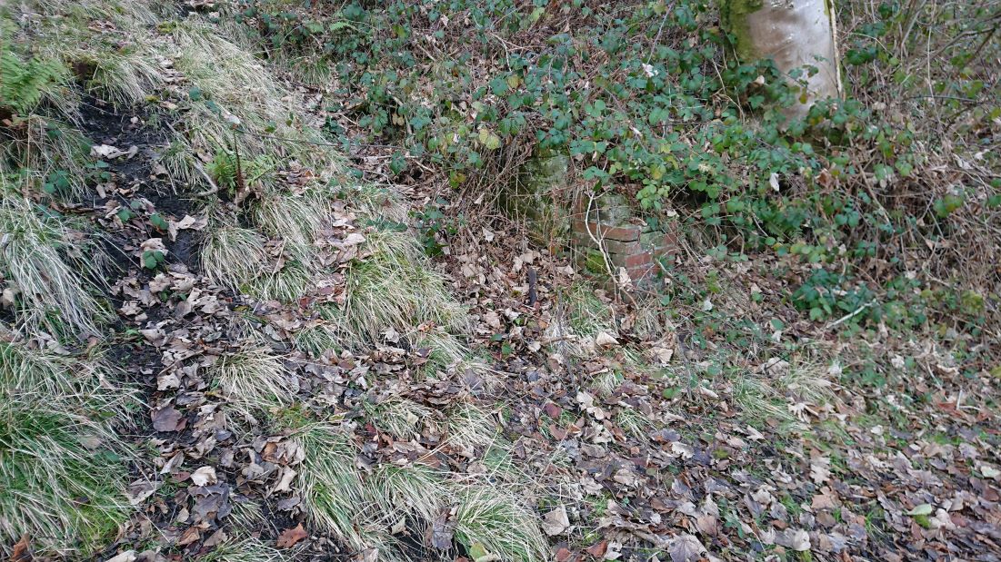
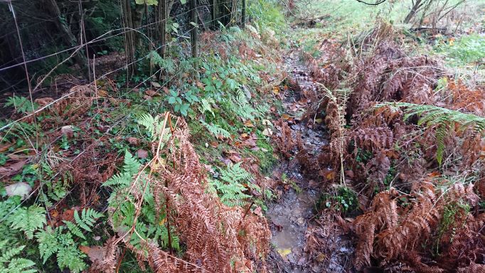
Trying to get at the second house from below, I walked past this
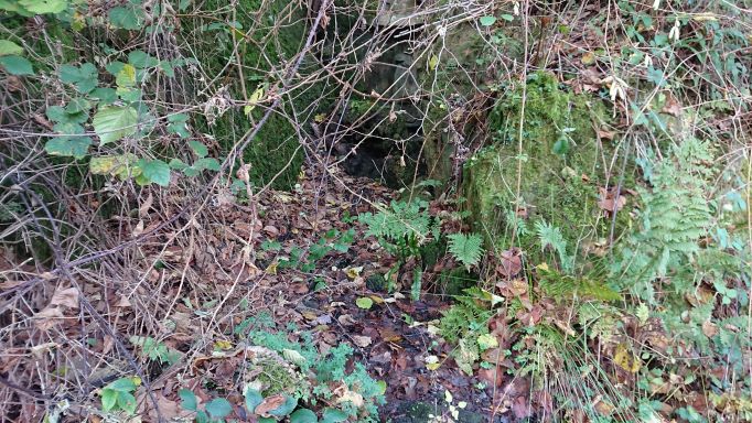
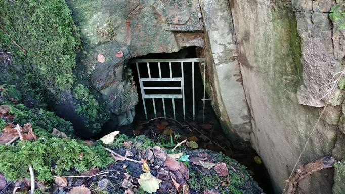
just below the house, at ST 11421 83600 – another of the many adits.
This is outside the boundary of the ancient woodland, but ironically in the patch of wood that is called Coed rhiw Cylog on the tithe plan. Luckily, that is part of the Dynevor estate, whose estate papers presumably survive … somewhere …