Post-Reformation wall paintings

posted in: Wall Paintings | 0

Sometimes it’s the early stuff that’s exciting, the earlier the better – but just occasionally it’s the more recent stuff that’s unusual and more interesting. On a visit to Llancarfan with George Ferzoco I was ever so excited to spot a bit of blackletter text on the west wall of the south nave, just north of the window.

postref_wallpainting

Then I realised it was English and therefore probably post-Reformation – then I was really impressed when I worked out from about 4 identifiable letters that it was part of the Lord’s Prayer (bu…del… – but deliver us from evil …)

postref_but_del

This is potentially a bit awkward as it probably overlies some of the medieval painting. The full set of the Seven Deadly Sins can now be seen in all their awful warning south of the west window and we are speculating that the Seven Corporal Acts of Mercy could be facing them, north of the window and round onto the north wall of the aisle.

But it has been possible to preserve a few fragments of another unidentified text overlying the scene of St George and the Dragon so we may be able to keep this one as well.

George and I went on to Llanilltud Fawr to look at the new Galilee chapel and spotted a couple more in the east part of the church.

postref1

postref1_text

postref2

I had thought these were background for medieval statues and possibly the location of side altars but the texts look English. I still can’t make sense of either of them – waiting for inspiration to dawn!

I love the antelope on this one but I can’t make anything of the text –

postref2_1 postref2_2 postref2_3

all ideas welcome.

“Celtic Stones”

Having got the Galilee Project all wrapped up, Gareth Kiddie and the Llanilltud PCC are now working on a trail from Llandaff to Margam, linking the sites of some of our major collections of early medieval inscribed stones. The route across the Vale of Glamorgan is pretty much sorted thanks to the Valeways project, and I think we have a reasonable route from Llandaff to  St Fagans (the new home of the National Museum’s collection of stones and casts). More on that at http://heritagetortoise.wordpress.com/2013/10/06/faith-tourism-faith-in-tourism/ .

So that leaves Merthyr Mawr  (a bit more on that at http://heritagetortoise.wordpress.com/2013/07/22/llancarfan-and-merthyr-mawr-faith-in-heritage/ and http://heritagetortoise.wordpress.com/2013/08/12/on-knowing-where-your-towel-is/ ) and Margam, where the collection of stones in Cadw’s little museum is justly famous.

But how to get from one to the other? There’s the coast path … but it isn’t a good section, going through a huge industrial estate. Cara and I were sure we could do better than that …

It didn’t start too well. The lane from Candleston Castle up to Candleston Farm is still more like a river

Image

But if you go over the little bridge opposite the castle, the bridleway up through the sand dunes is steep but easy to follow.

Image

The shrubs are sea buckthorn, planted to stabilise the dunes. They are pretty in flower and glorious when the thickets are aflame with berries, but they are savagely prickly and really a bit too vigorous. Keep going up hill, bear round to the right and keep the trees and the line of fence to your right, go through a gate,

Image

follow the track a little west of north, through another gate

Image

When the track divides, go left and through a gate (or over the stile)

Image

and turn left on a stony lane to Tythegston.

Cute calves in the field

Image

And the view of the church from the far slope

Image

Tythegston is a pretty village with old houses and a pottery. The church is now a wedding boutique (!) but the eleventh-century cross slab is still in the churchyard

Image

And if you look very carefully at this stone over the north window of the chancel you can just see the shaft of the cross on a later medieval tomb slab.

Image

Walk past the cross, turn left on the main road and right immediately along a road marked ‘Unsuitable for motor vehicles’. In a few hundred yards, where a drive goes off to the right, take the waymarked footpath sharp right.

Image

This is stiled and waymarked across the fields – cute lambs –

Image

past the ruins of Ty-erfin

Image

up to the main road and turn left. (The stile here is a bit dodgy.)

Image

The road isn’t too much of a problem – there is a pavement and a central reservation which makes crossing easy. In a few hundred yards there should be a stile on the other side and a footpath across the fields to Upper Park Farm. There has been some clearance here but the stile is heavily overgrown and unsafe.

Image

We need to rethink this bit. After Park Farm you can cut across Stormy Down but there are no clear paths and with the bracken up in the summer it wouldn’t be easy. We eventually got back to the road to go under the M4. There is a rough stone stile into a field just beyond the M4 and a spiffy new gate on the footpath through the limeworks

Image

but how to get to it? And how to get through the lake beyond it? We went back to the road. The bridleway north of Stormy Down looks clear – we need to see if we can get to that from south of the motorway.

Walk along the minor road and across the railway line. When a track turns sharp right, take the waymarked footpath ahead to the right.

Image

Walk up the field, bearing slightly to the left of the hedge (and keeping to the left of the pylons) to go through a gate.

Image

Continue up the slope with the hedge to your right, go through a kissing gate

Image

and another farm gate. Bear left up the hill to pass to the left of the farmyard at Pen-y-castell – there is an encouraging municipal bench at the top –

Image

Also a bench mark.

Image

You need to keep to the left of the bench mark and bear left down the slope to a lane between the houses, then turn left on the road. In about 200 yards, just after the church, turn right down School Road. This becomes a metalled lane and goes down steps. Continue straight  on. Victoria Road becomes Crown Road. When the road bears right, take the footpath to the left, across a little bridge and up to cross the railway. Bear slightly right across the next field and follow the track along the edge of the fields up to the road.

Ahead of you is Hafodheulog Farm. This was one of the granges of the Cistercian abbey at Margam. The name means literally ‘The sunny summer farm’. Hafodheulog is on higher ground that the granges at Llangewydd and Horegrove, and you can imagine the lay brothers bringing the herds up there in the spring. In the woods behind the farm is an even more remote grange, Hafod Deca, where they could have pastured sheep in the summer. Llangewydd, Horegrove and Hafodheulog are still substantial farms but Hafod Deca is a ruin in the forestry plantation. I have a memory of finding the ruins when I was walking up there twenty years ago but they are nowhere to be seen now – did I imagine it?

Take the lane to the left of Hafodheulog, go over the stile at the end and bear slightly left across the field to a stile (heavily overgrown when we were there, and the waymark in need of attention!). From here we walked up the lane past Pentre Farm but it was very difficult to find the footpaths to the left of the road. There has been a lot of felling in the forest, and the forest roads are in poor shape after a very wet winter. You have to cross the Cynffig river and there is no footbridge, just a ford. We may have to rethink this bit as well: you could go left after the overgrown stile and walk up the lane to Troed-y-rhiw Farm. From there the track along the edge of the forest and across the fields is fairly clear, though it may need to be kept clear in the summer. The track goes behind Graig-goch and into Margam Park, and you can follow a footpath across the park and out on the road from the Crugwyllt ridge down to the church and the Margam Stones museum.


Faith tourism, faith in tourism?

‘All these died in faith, before receiving any of the things that had been promised, but they saw them in the far distance and welcomed them, recognising that they were only strangers and pilgrims on earth’ (Hebrews 11: 13)

The irrepressible John Winton of the Churches Tourism Network Wales, having virtually invented church tourism for our nation, is launching his Faith Tourism Action Plan in St Asaph. Here are some amazing statistics. Churches are among our most popular tourist attractions – St David’s Cathedral gets 262,000 visitors a year and Brecon gets 120,000. Their motivations vary – they may be interested in old buildings, tracing their family connections or simply looking for somewhere free to get out of the rain. But on the international scene, faith tourism is big business. Pilgrimage to Compostela has a huge impact on the economy of northern Spain. Pilgrims making the hajj to Mecca contribute about $8 billion a year to the Saudi Arabian economy. It’s no wonder that VisitWales is keen to encourage John’s plans.

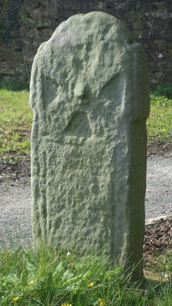
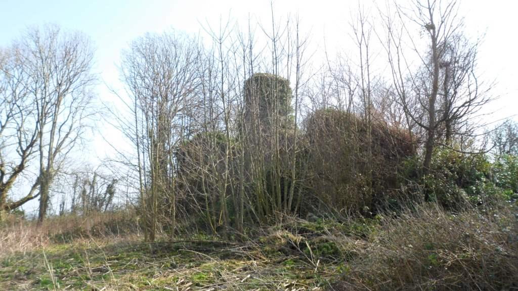
Part of this, of course, is the Galilee Project (http://www.illtudsgalileechapel.org.uk/) . Initially conceived as a way of providing a better display space for the early medieval carved stones at St Illtud’s Church, this is spiralling out with an ambitious plan for a pilgrimage route across south Wales, linking Llandaff, St Fagan’s (where the museum will be the new home of the collection of early medieval stones now in the National Museum in Cathays Park in Cardiff), Llancarfan (another early monastic site with some impressive late medieval wall paintings), Llanilltud itself, Merthyr Mawr and Laleston, and Margam.

Part of the aim is to get rid of the unfortunate Anglicisation of the church’s name, Llantwit (St Twit – who he?) and re-popularise the Welsh version, Llanilltud. Seriously, we have deferred for too long to the English inability to pronounce our place names – they are part of the intangible charm of our heritage and we need to stop hiding them.

So John, Gareth Kiddie (the project’s business consultant) and I sat down with the maps to think about possible routes. Like most heritage footpath plans, this one is a balancing act: we need a good walk, on open and clear footpaths, that visits key sites and pushes the buttons of the potential funders.

John seems to treat me as a sort of enquire within upon everything to do with church history. Sometimes this means that he calls me in for things that I know nothing about: but when it comes to pilgrimage and footpaths I am on home turf. The biggest problem seemed to be the start. Llandaff Cathedral is in the middle of a built-up area. Who will want to walk for miles along busy roads before reaching the countryside? But Cardiff is famous for its ‘green lungs’, corridors of woodland and open space between the housing estates; and one of the biggest of these runs along the river. We might have to go north in order to go south … but north from Llandaff is the traditional pilgrimage route to Penrhys, one I’ve walked in the past as an alternative to our usual route from Llantarnam.

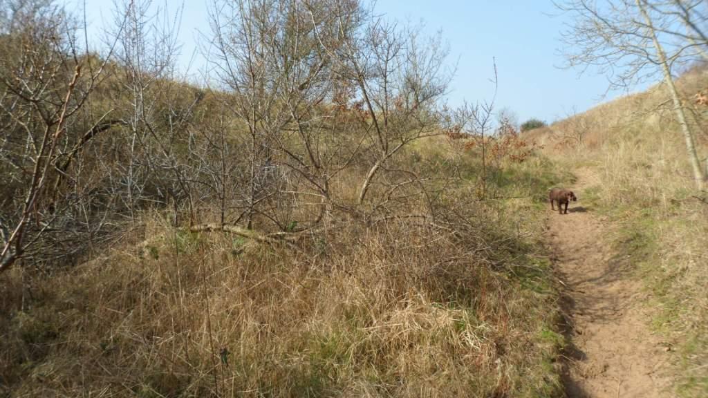
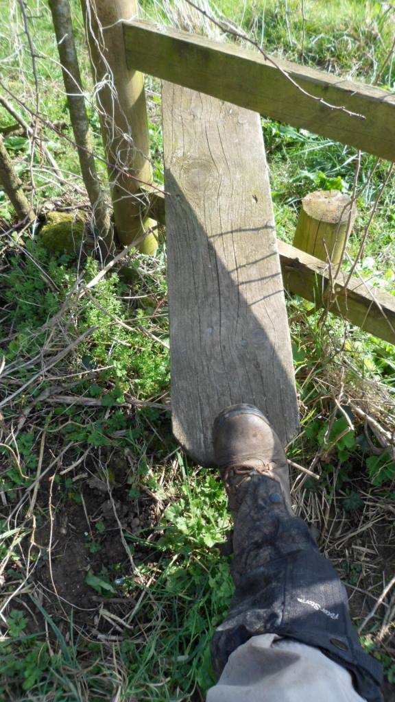
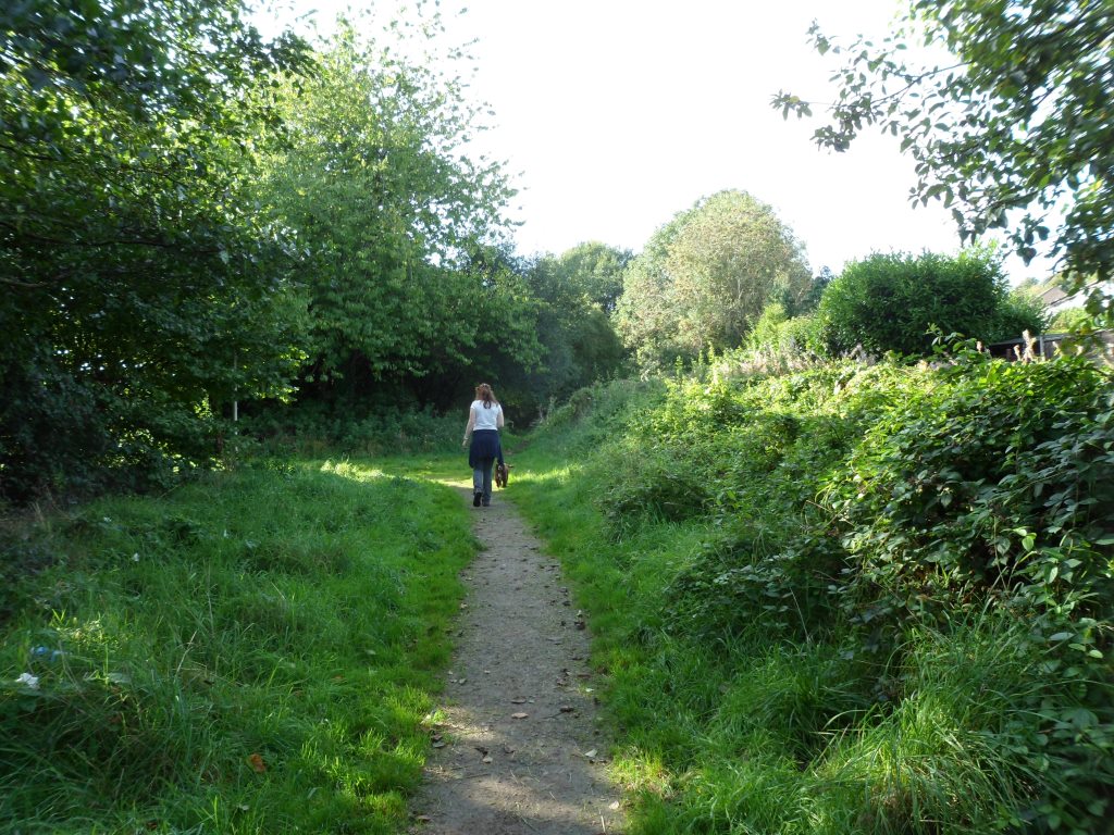
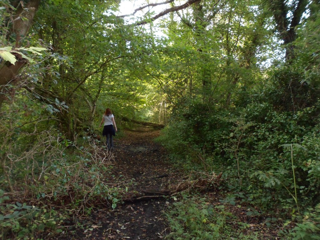
So it was that I put my boots on and collected Cara the pilgrim dog, and we made our way to the Taff bridge between the cathedral and Llandaff North.

Image

Image

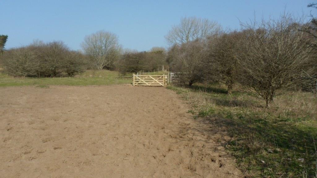
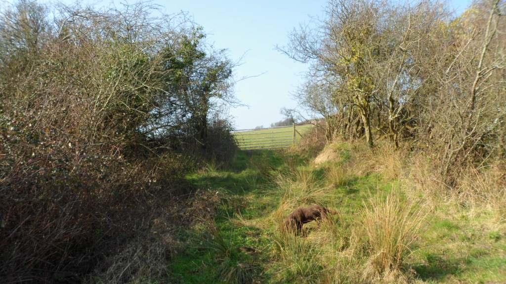
The route up river from Llandaff starts well – you walk up the river bank from the cathedral, climb to the road for a few metres past the boat club then back to the river bank as far as the bridge. Keep on the west bank of the Taff and walk along Radyr Court Road, then when the road bears up to the left take the path along the river bank. Turn left under the railway line and walk up to the path through Radyr Woods then turn left past the playing fields of Radyr Comp to emerge at the roundabout where the Radyr road meets the Llantrisant Road.

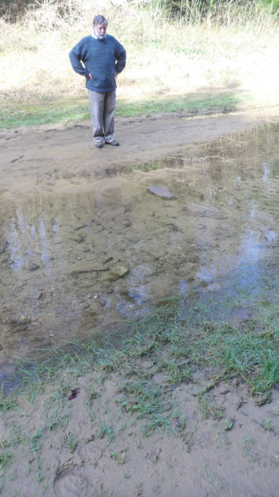
Here it gets problematic. The footpath across the fields goes through the farmyard of Maes-y-llech – never a good idea. I had a nice chat with the farmer (he knows my cousins from the Vale). He admits he doesn’t like footpaths through his farm but accepts that it’s legal – but for a promoted path it might be better to re-route it. But here’s the real problem – he eventually said that the whole farm is scheduled for building under the latest local development plan. This explained some of his bitterness – his family have farmed there for generations but as tenants so the farm will be sold and they will be out on their ears. It’s dreadful for him, but it also means there isn’t much point in putting a lot of thought into a route that’s going to go round the back lanes of a housing development.

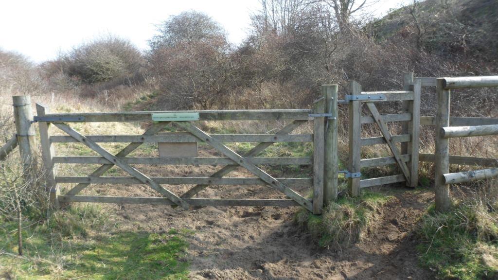
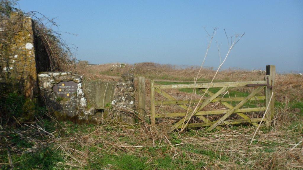
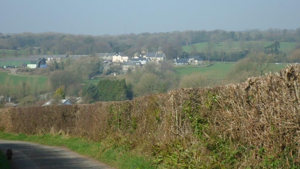
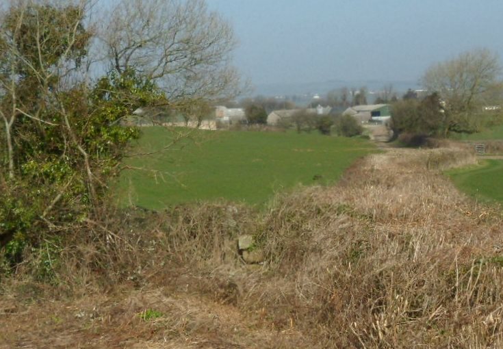
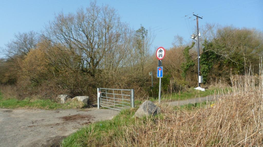
But there is an alternative. The footpath from Maes-y-llech cuts across the line of the disused railway from Fairwater to Llantrisant. After that, the footpath is clear up to the Pentrebane road. You have about 400m. on the road then there is a footpath across the field to a green lane that gets you into the new housing in St Fagans and the back gate of the Museum. So I walked back along the railway line.

Image

It needs a bit of attention

Image

Image

(fallen trees, and one bridge has been demolished: there’s an easy scramble down the embankment and back up) and it isn’t actually a right of way but it has a waymark post for a promoted route half way along

Image

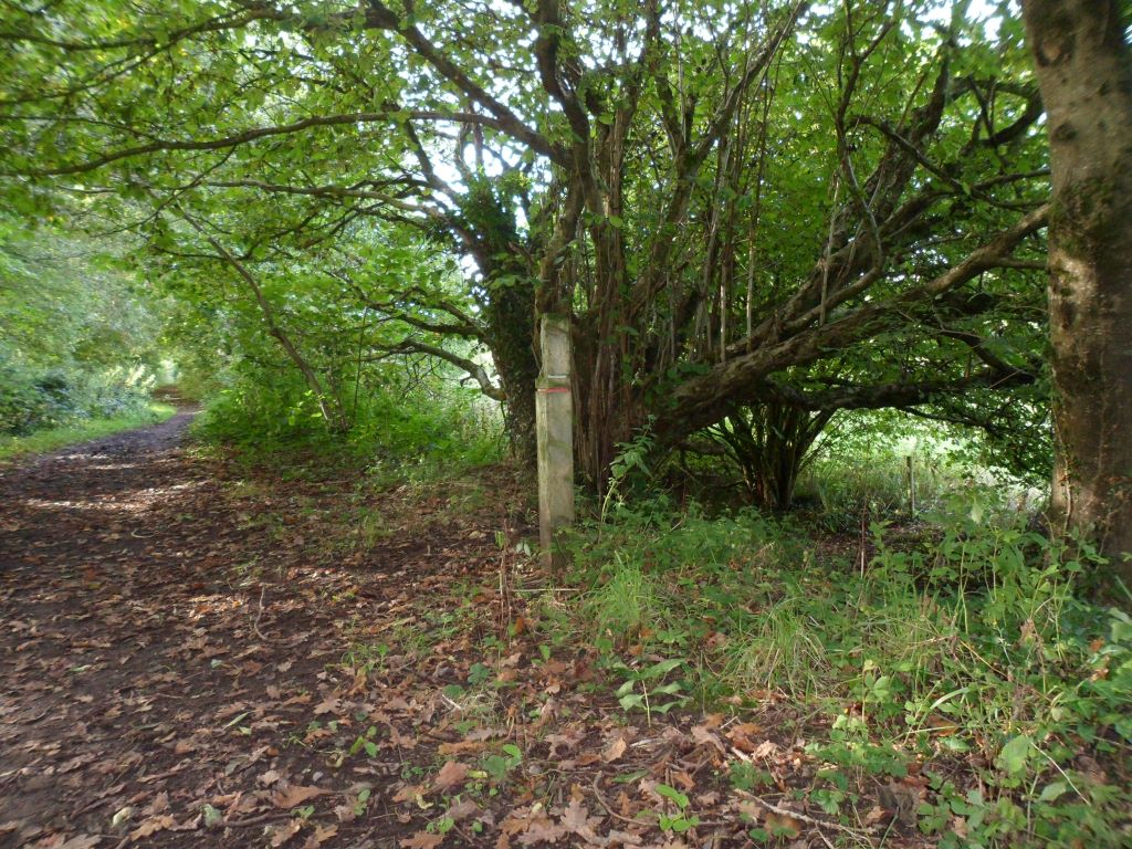
and it gets you by a very pleasant route into the southern part of Danescourt. I re-walked it with my daughter Rachel and she approved.

So the suggested route is as follows: from the cathedral up the river to the bridge. About 100 m. along Radyr Court Road, go up the steps to your left. Walk along Highfields, turn down Greenwood Road, left along the Llantrisant Road to the roundabout. Down Tangmere Drive, along Grantham Close and into the park, bear right and you are on the old railway line. Follow this for about 1/2 mile until you are out of the trees, then after the pylon turn left and follow the footpath across the fields to the Pentrebane road and down the green lane to St Fagans.

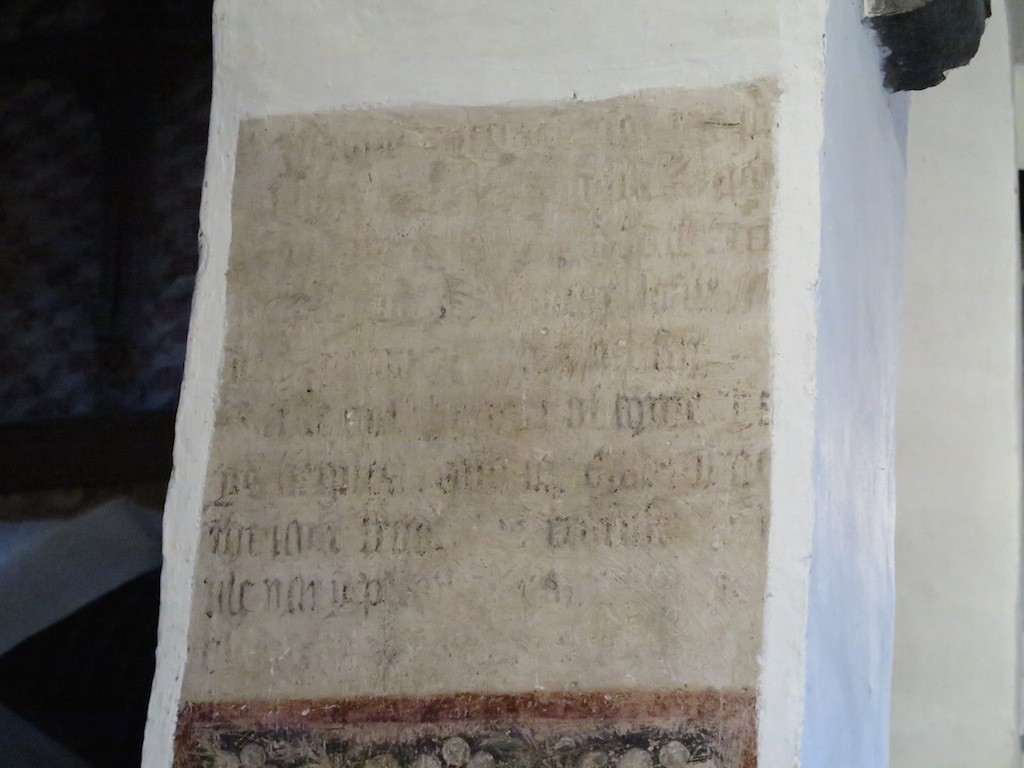
Keen pilgrims would probably want to make a bit of a loop to the north to go past Radyr Court and St John’s Church. St John’s is the old parish church of Radyr, a simple building of rough stone with a huge old yew tree.  Radyr Court is now a pub but it was in the Middle Ages the home of the Mathew family. The women of the family were famous for looking after pilgrims on their way to Penrhys. According to the elegy written by Rhisiart ap Rhys to Elspeth Mathew,

Parlwr gan vwr niferoedd
I vels draw val osdri oedd

‘her parlour was to many invalids like a hostelry’. He also said that she sent a considerable weight of candles to Penrhys, but she never seems to have gone there herself. Perhaps she considered herself to have taken informal vows at Radyr and to be running a sort of maison Dieu, a hospice for pilgrims. This would make her something like Sister Anne Larkins, who runs the retreat house at Llantarnam and sets us off on our annual pilgrimage from Llantarnam to Penrhys with a blessing of water from a medieval stoup found in the abbey ruins.

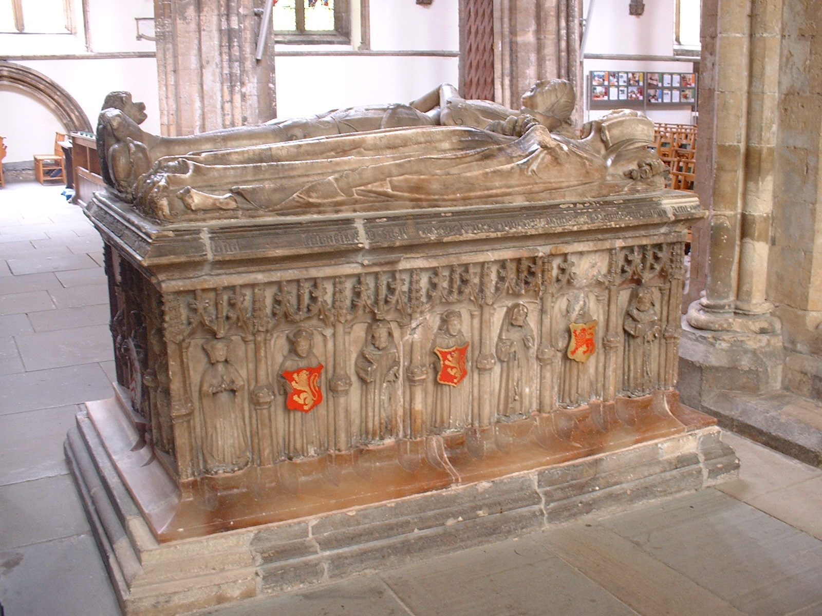
The family also claimed to be hereditary custodians of the skull of St Teilo. This famous relic was recently returned to the cathedral after some time in Australia. It is still shown occasionally to visitors and would probably be brought out for an organised group. The cathedral also has the effigy tombs of David Mathew, Sir William Mathew and his wife Jenet

Image

with the famous ‘sleeping bedesman’.

So there are a lot of connections.