Having found the ruins of Coedcae Garw thanks to @mikekohnstamm (https://www.heritagetortoise.co.uk/2020/07/coedcae-garw/) I’ve reverse engineered the process and gone back to looking for farms and smallholdings which are on the tithe plans and the old OS but not on the modern map. There were two just along the lane from Coedcae Garw. Ty’r-ywen is at grid ref. ST 20152 86428 and Cwm is at ST 19911 86265.
Ty’r-ywen on the tithe map was a cottage and garden of 1 rood 20 perches, belonging to the Clive estate and tenanted by a Thomas Thomas. It was too small to have any value for tithe. There are 4 roods to an acre and 40 perches to a rood, so Thomas’s garden was about 1,500 square metres, about the size of 3 tennis courts. Enough to grow veg for a family and keep a pig and a few chickens but not enough to live on. The men of the family probably worked in the nerby iron works or on bigger farms and the women and young children looked after the homestead. You find a similar pattern all along the edge of the industrial area – my father-in-law was brought up on a similar smallholding in the Sirhowy valley, and my own house originally stood in a garden nearly as big as Ty’r-ywen’s.
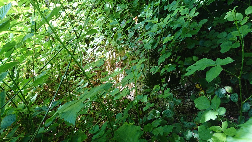
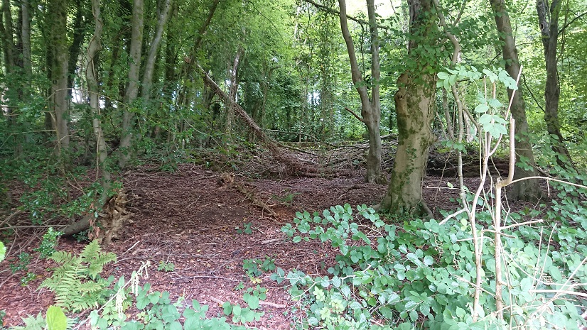
Ty’r-ywen is named on the 1915/22 6” OS map (accessible on the wonderful maps.nls.uk site). A building is marked on the 1948-1953 map but without a name. All that is there now is this
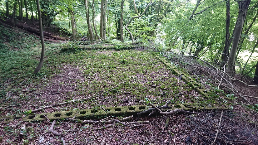
the concrete bases for prefab panels. It looks very much as though the cottage was deserted and rebuilt as some sort of farm building, then that too became derelict.
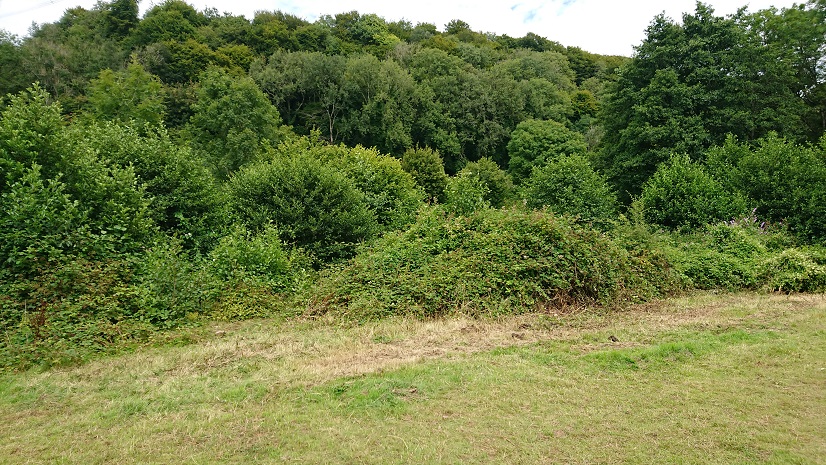
The other lost smallholding is Cwm. It’s complicated because there are actually two farms called Cwm in that little valley. One is just across the lane from Ty’r-ywen and is now quite a big horse-riding establishment. The other is a little way up stream, just off the Ridgeway Path and just before the path crosses the stream and goes up into the trees. On the tithe plan it’s a bit complicated. The house, garden and croft, a little over 2acres, belong to the Morgan estate and are tenanted by a John Morgan. But the surrounding fields, Waun and Cae Fry, are called ‘Cwm Land’, also part of the Morgan estate and tenanted by Spencer Thomas. The fields on the other side of the stream, called Cwm mawr and Cwm Ceffyl, belong to the bigger Cwm farm, part of the Clive estate and tenanted by Isaac Price.
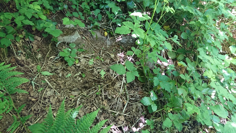
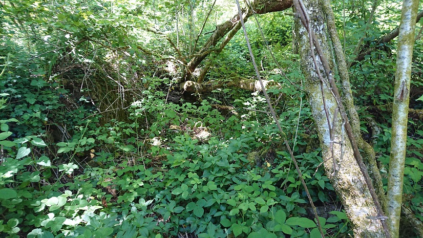
This must be the house
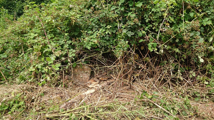
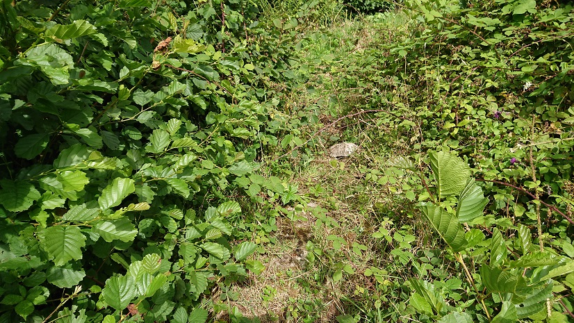
just a bit of tumbled stone under the brambles. Another candidate for a winter visit, when the undergrowth has died down a bit.
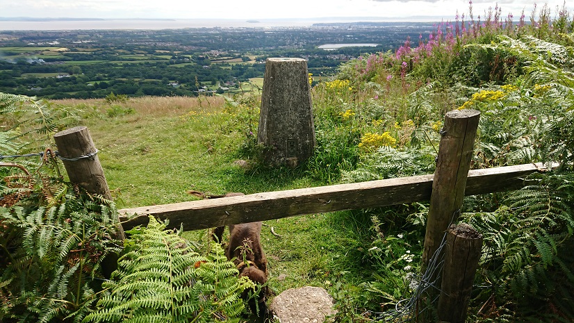
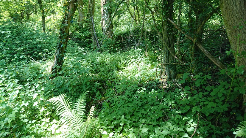
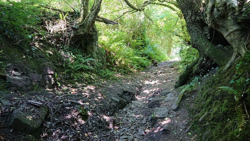
The path south into the woods was stiled and waymarked so we gave it a go. It is steep, and damp in places, but a good clear route cutting across the forest roads to the top of the next ridge. We looked at this
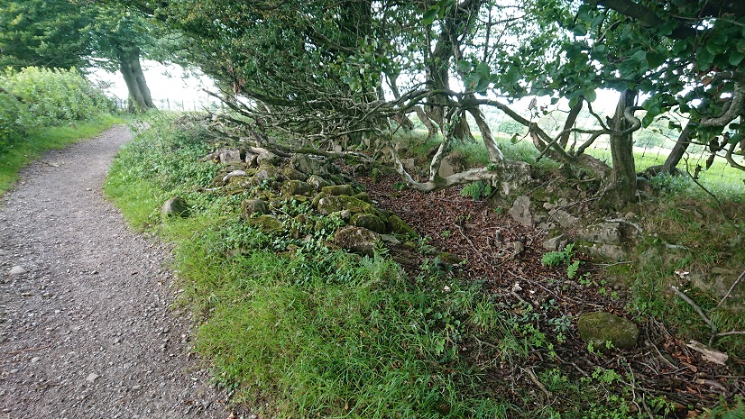
between the forest edge and the trig point but there’s nothing on the OS or tithe plans so we concluded it was tumbled stone from the field wall.
Sometimes a heap of stone is just a heap of stone.
But the views from the trig point are splendid.