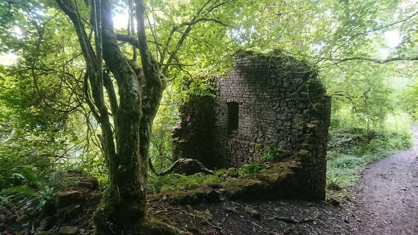
Following on from my blog posts on deserted cottages and farmsteads above Cardiff, I have been sent some information about early coal mining on Cefn Carnau. In his History of Caerphilly, H. P. Richards says (without references, unfortunately) that coal was being mined on Cefn Carnau in 1307 and the mone was still in operation in 1542. He also referred to early mines in Rhydri and Machen Forest.
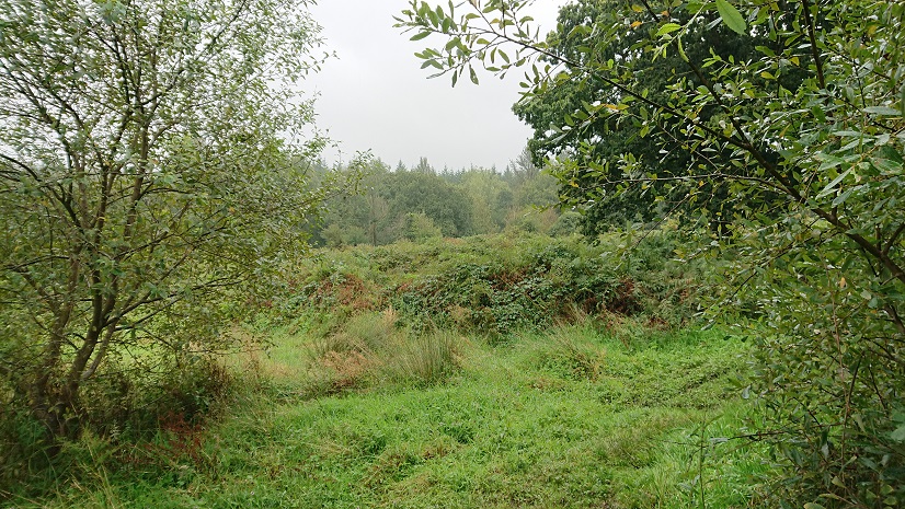
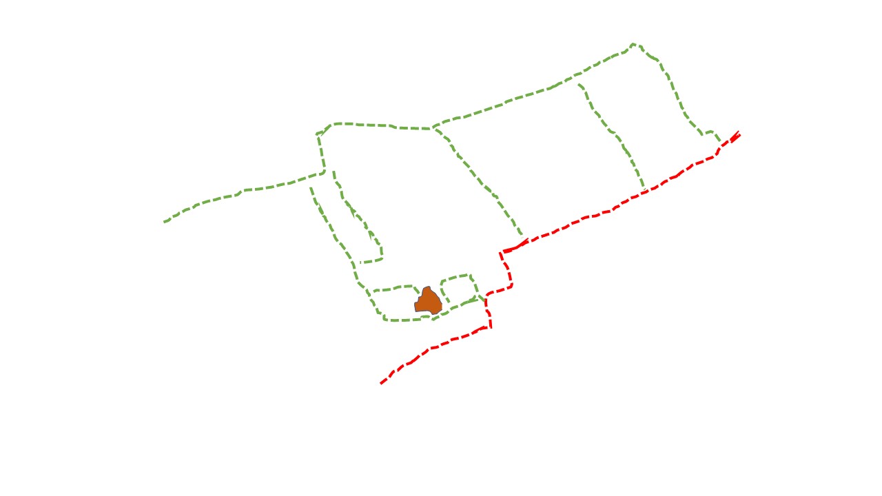
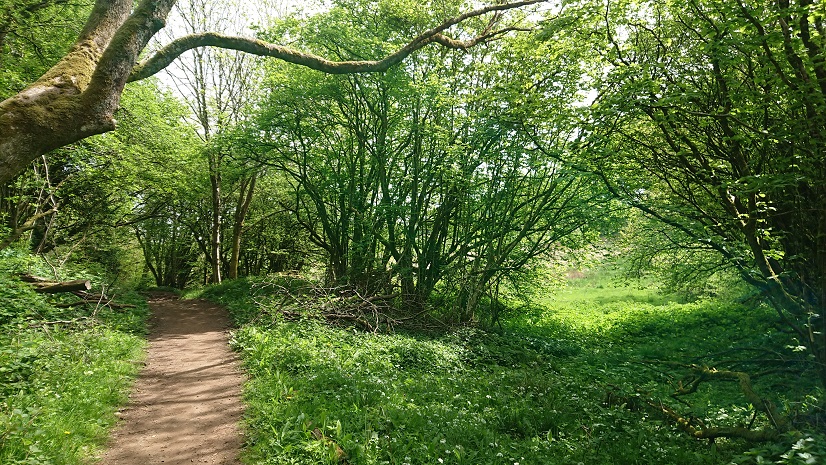
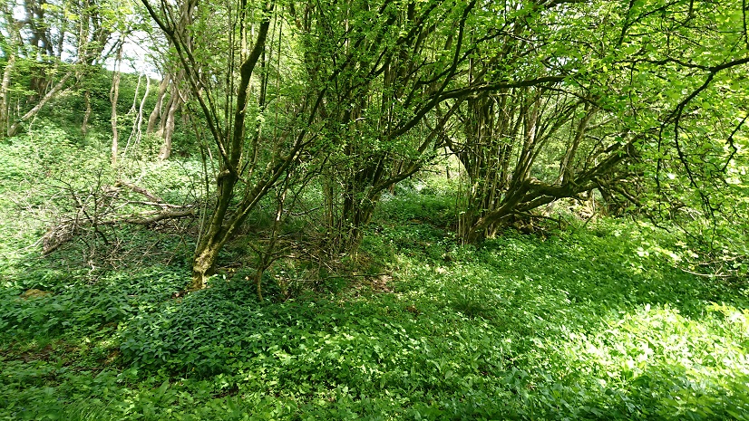
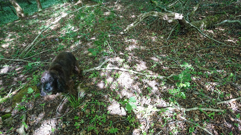
I would need to do some more work to track down the evidence for all this. Meanwhile, I have been told that there are conical tips on the ridge above Blaen Nofydd, one at ST 169 849 and one a little further down the Heol Hir. So Gwen and I set out with my sharp-eyed French cousin Amy to have a look.
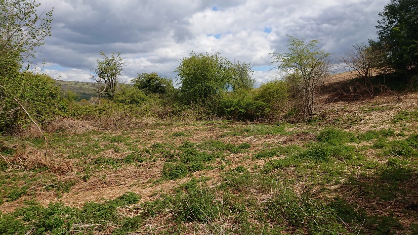
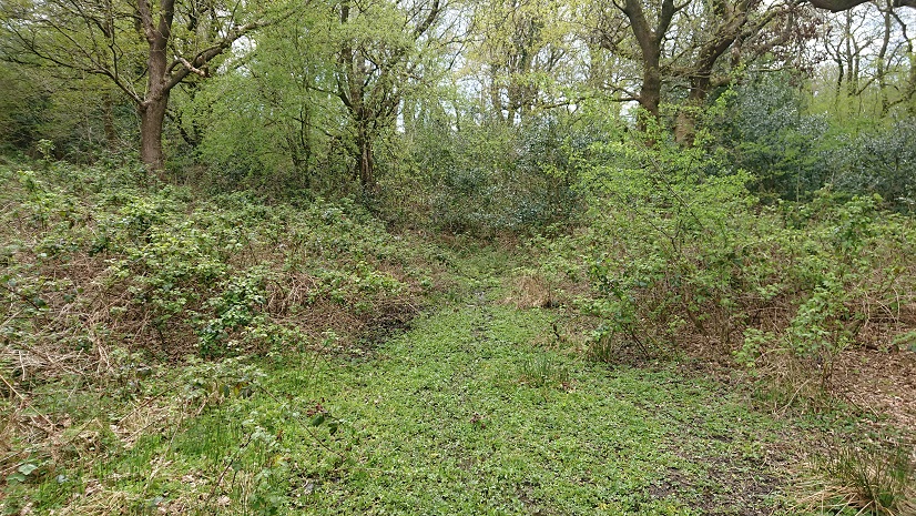
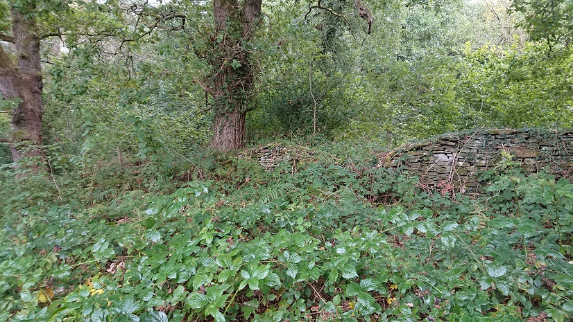
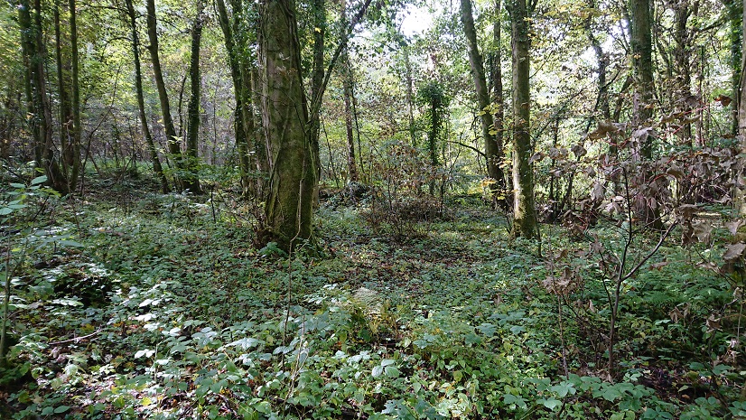
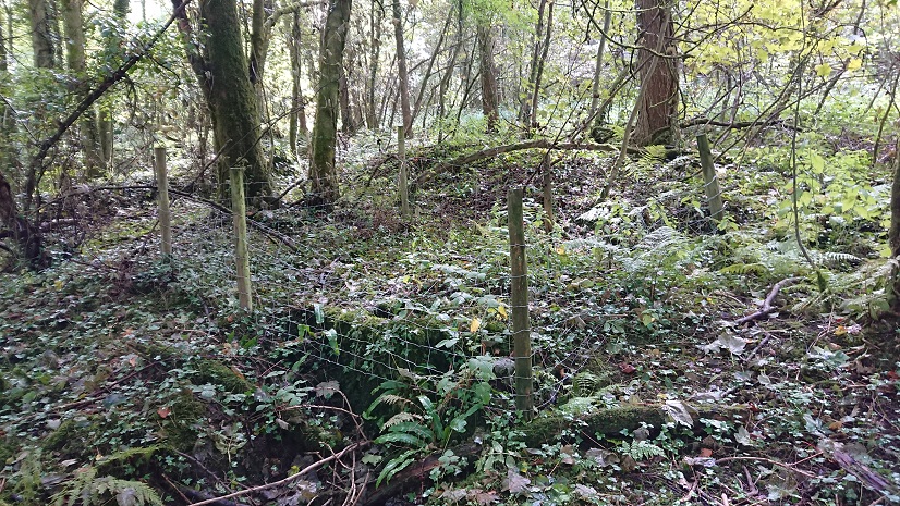
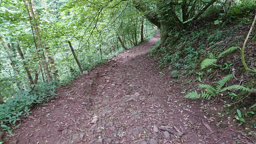
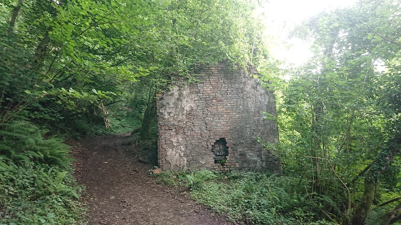
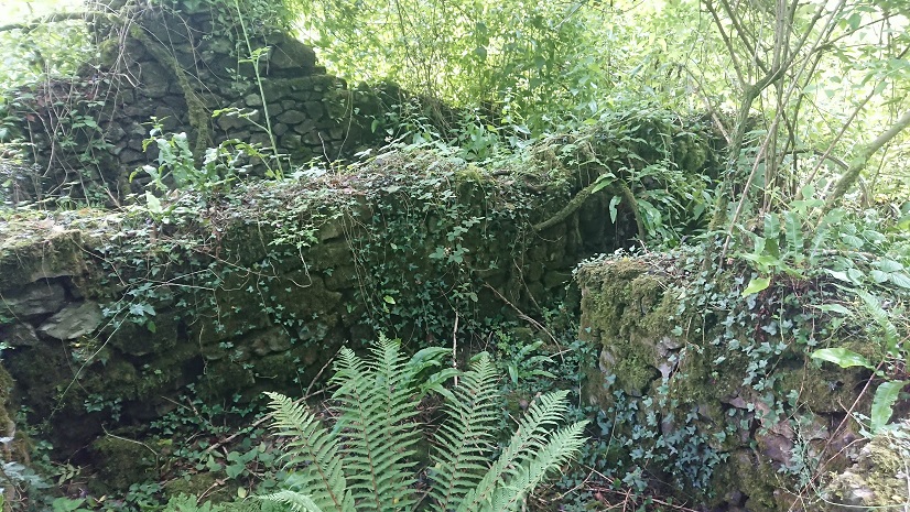
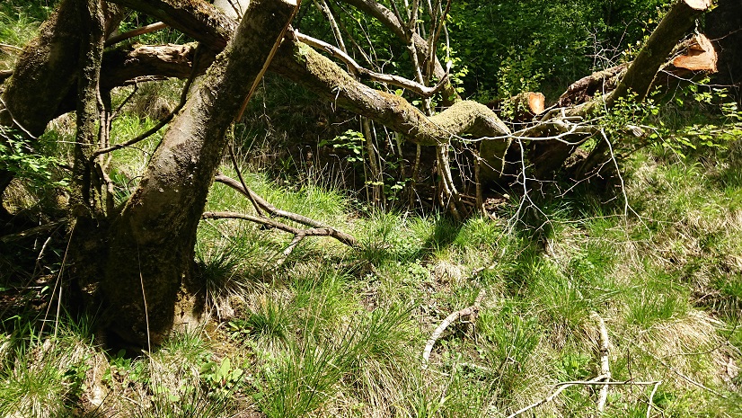
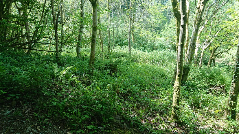
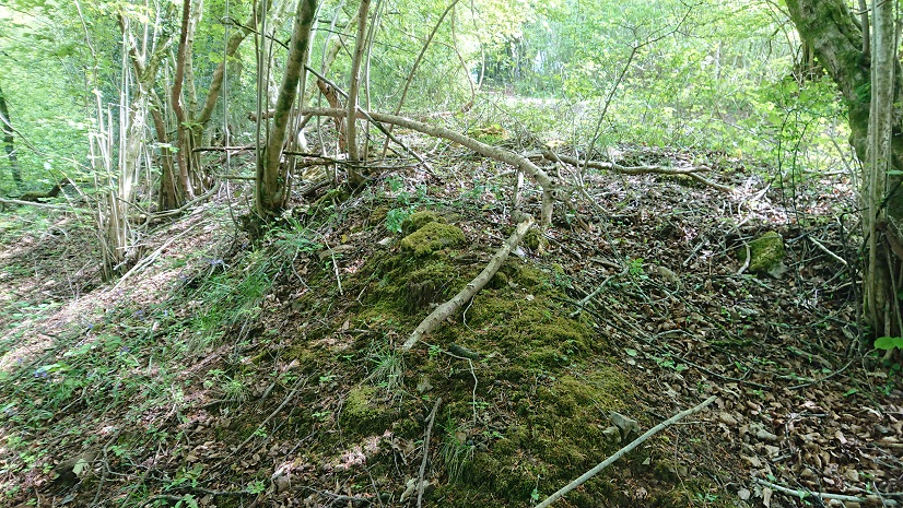
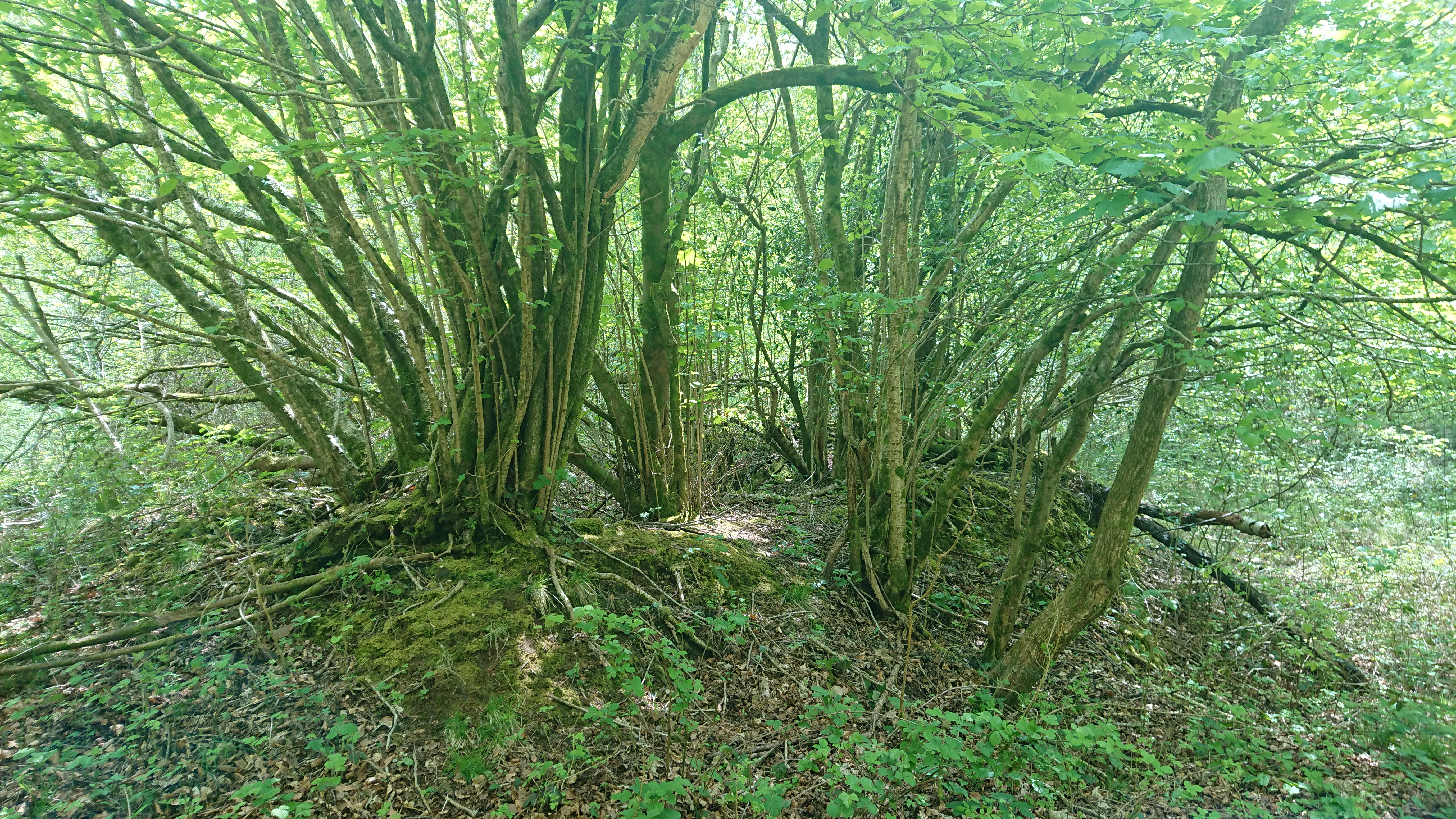
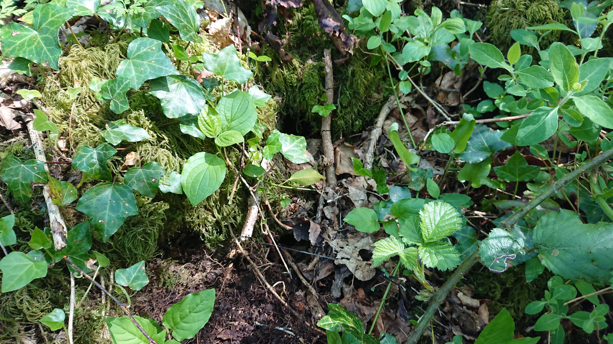
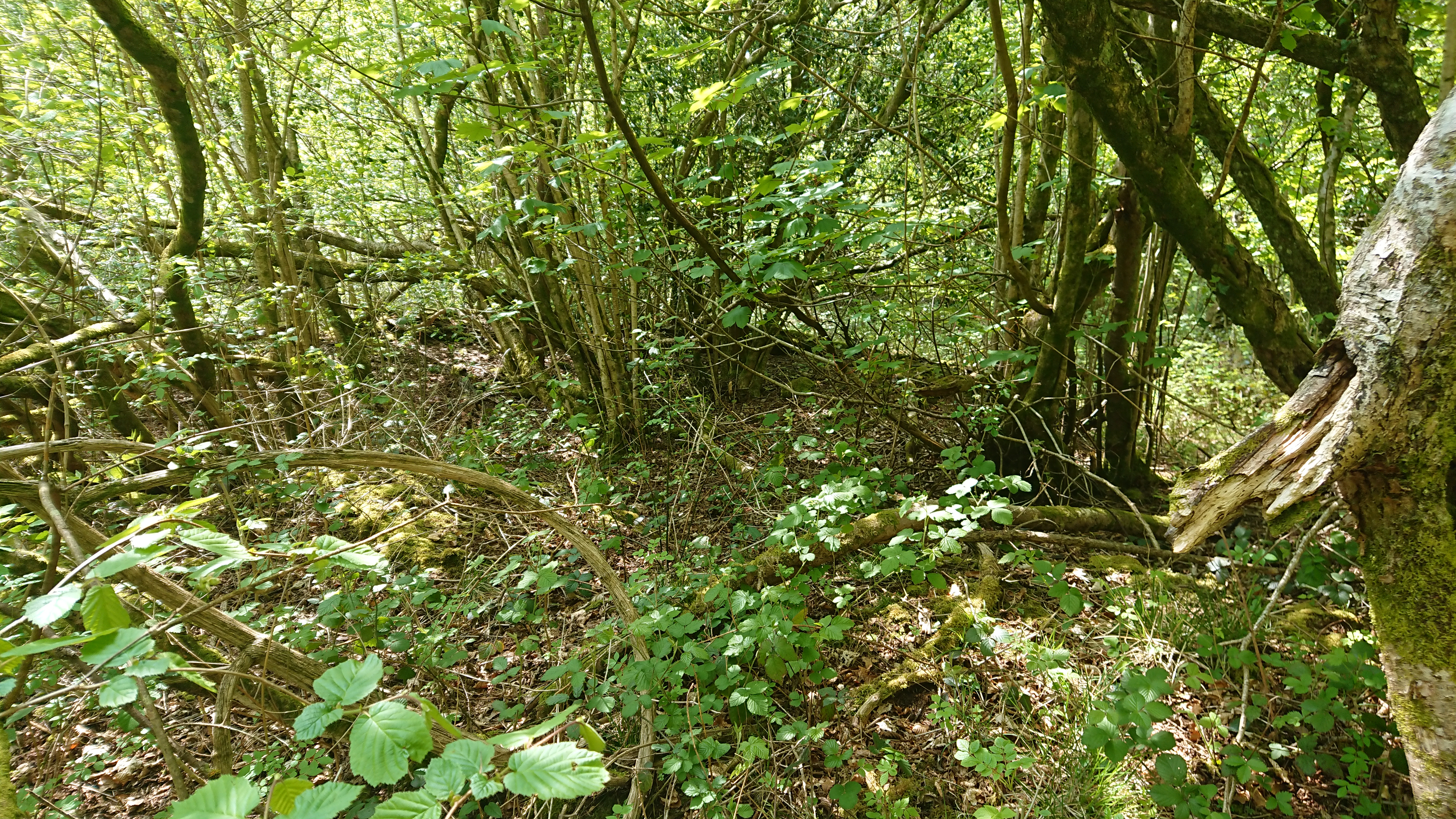
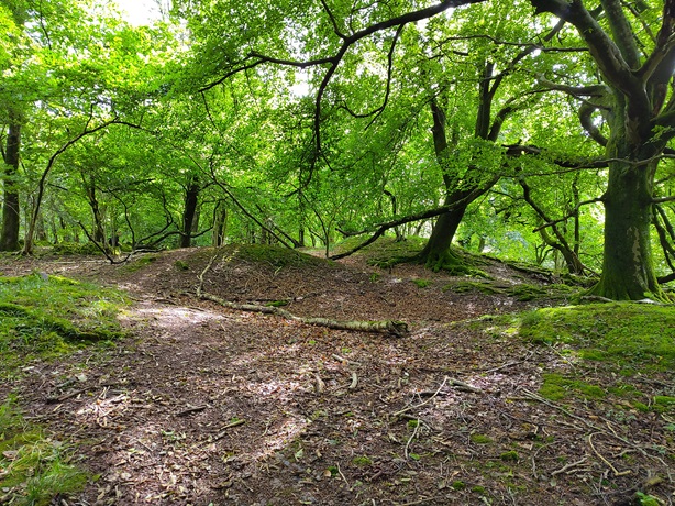
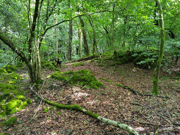
Looking with early industry in mind, the lane up from Blaen-nofydd to the Heol Hir has plenty of what could have been fairly shallow pits and the upcast from them. These
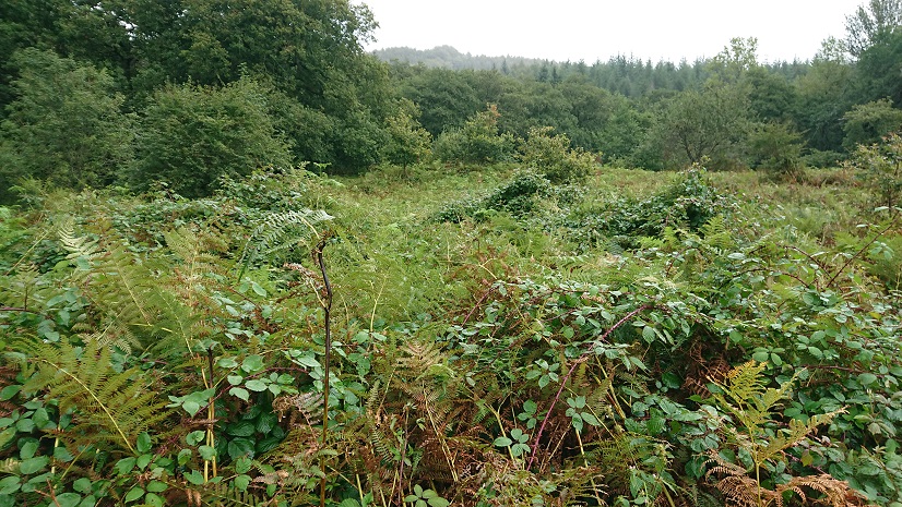
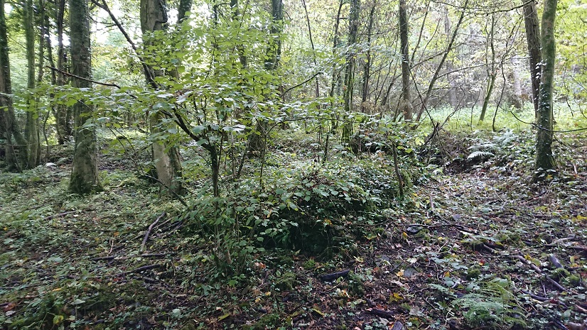
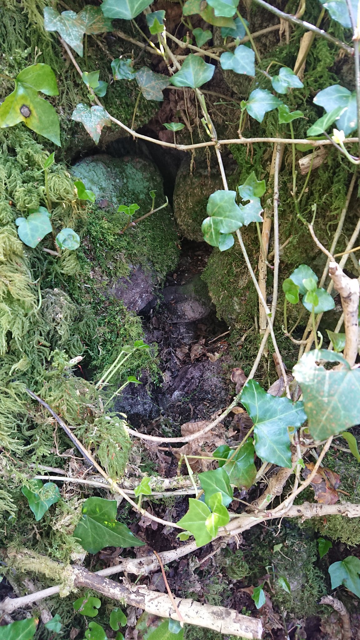
are quite near the bottom of the lane. ST 169 849 is further up, just east of the junction with the Heol Hir. There are some possible tips
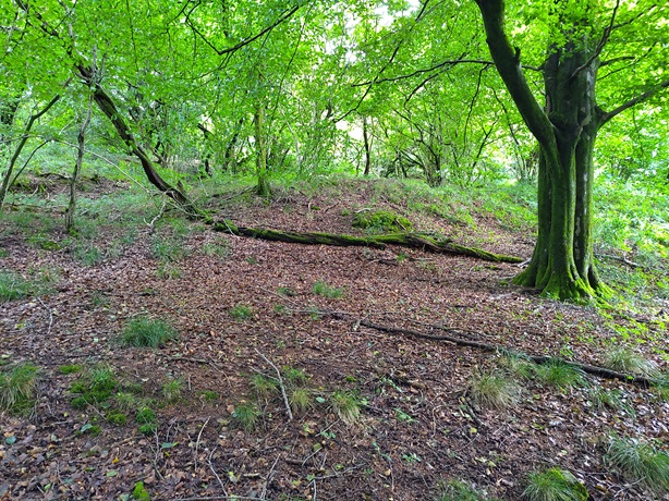
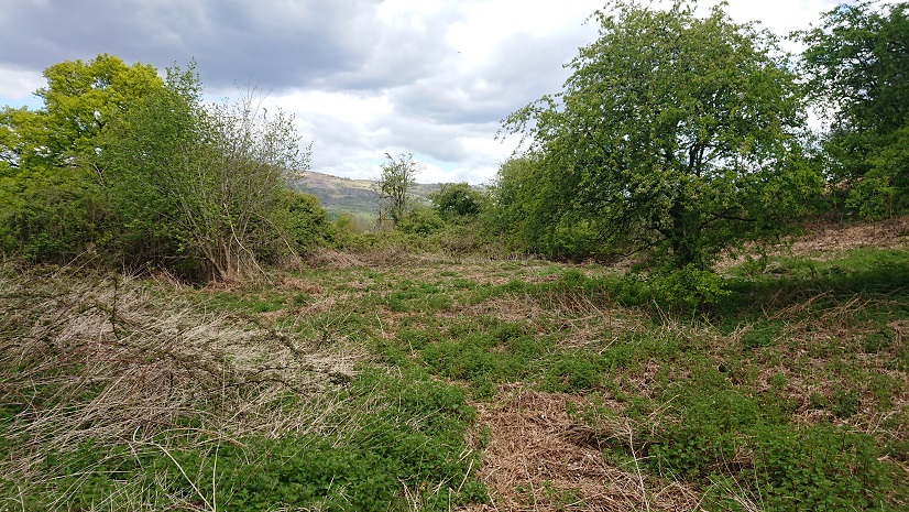
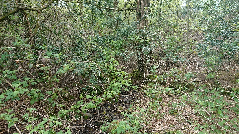
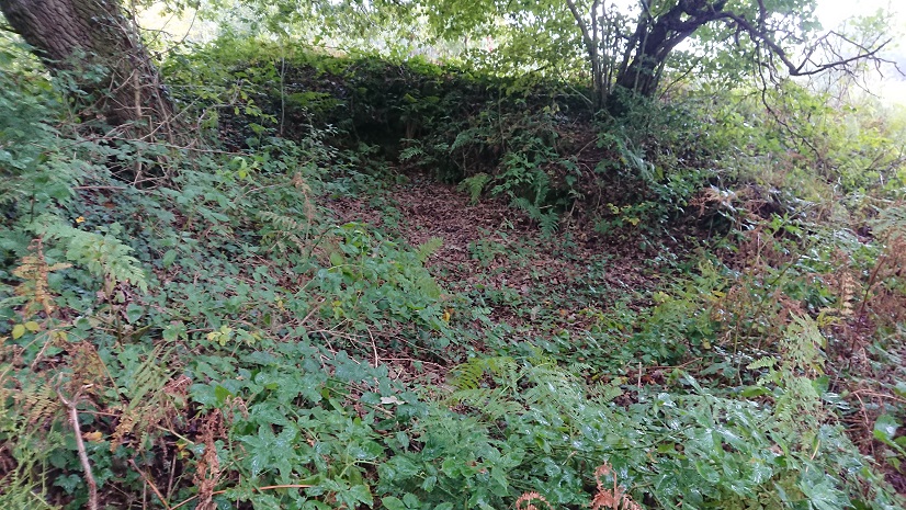
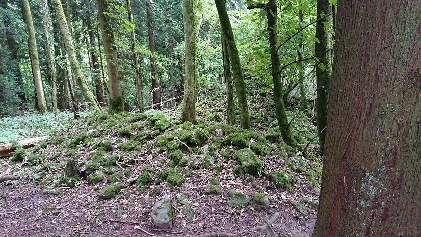
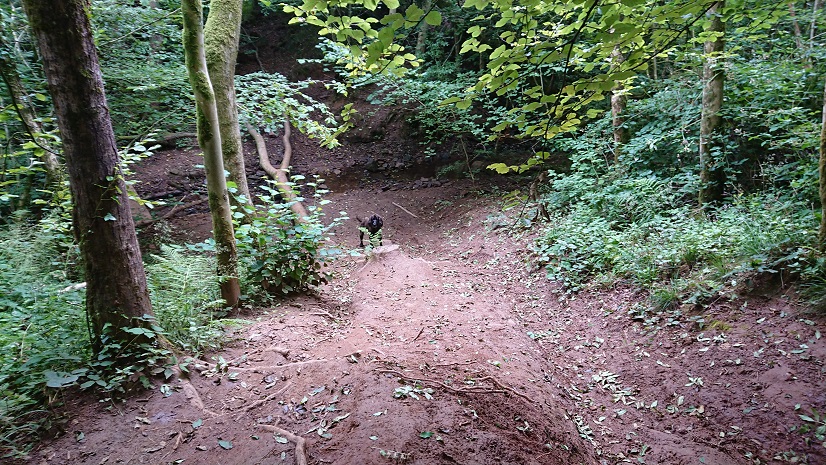
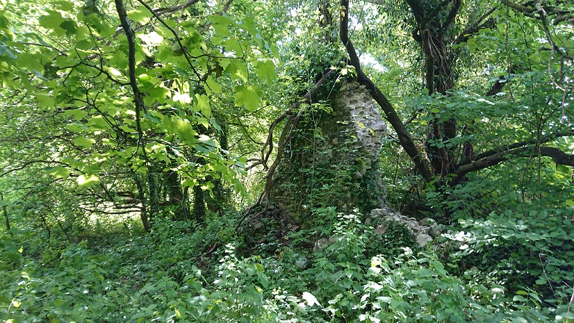
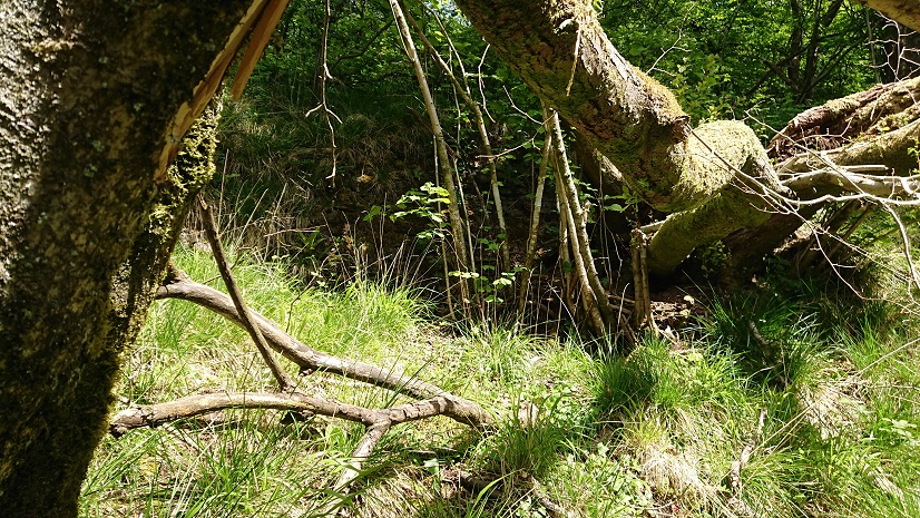
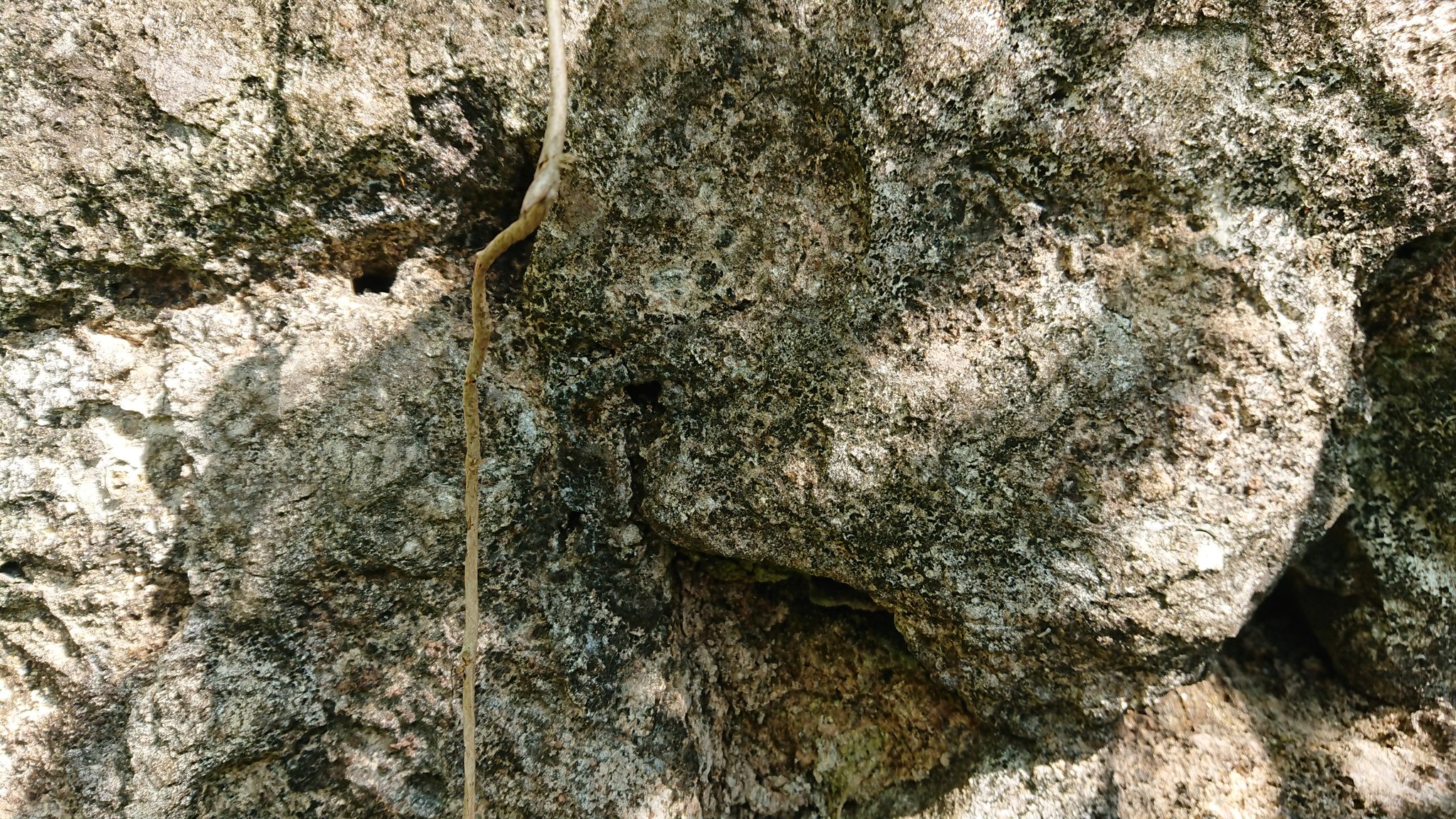
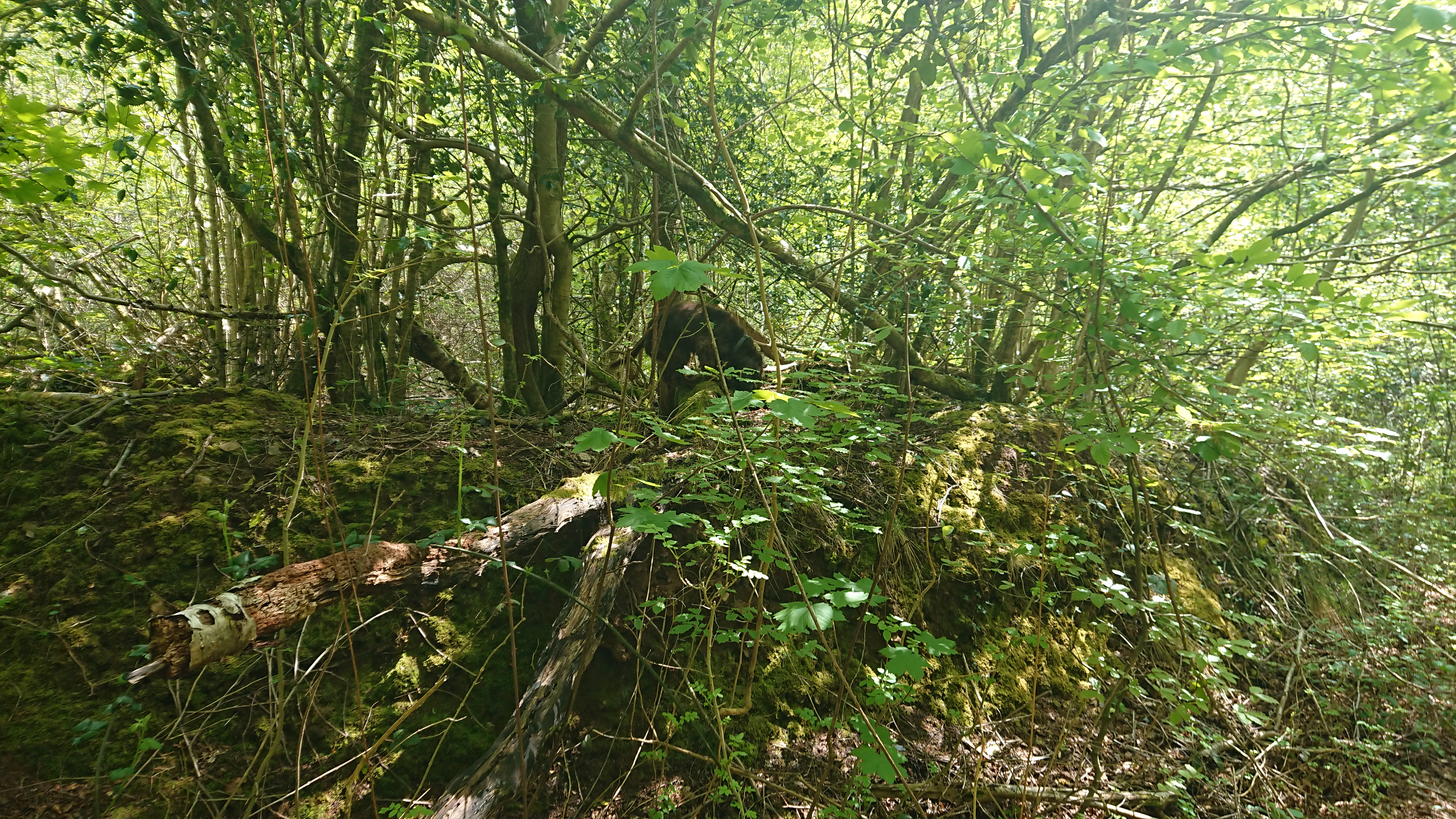
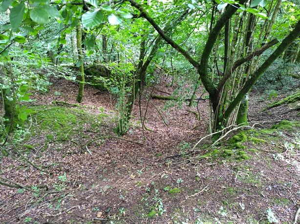
but nothing really definite. This
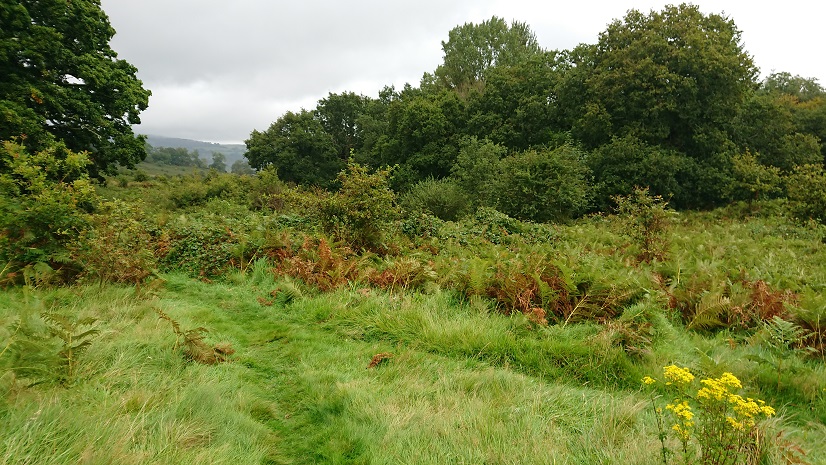
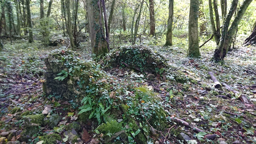
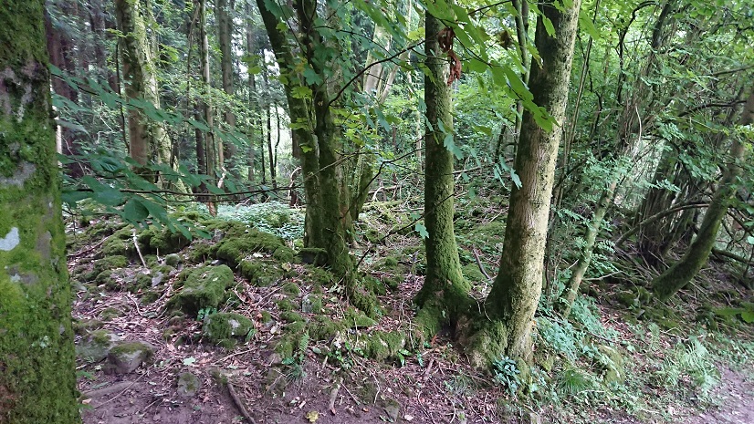
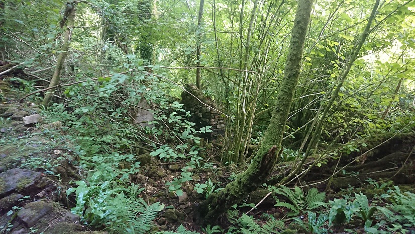
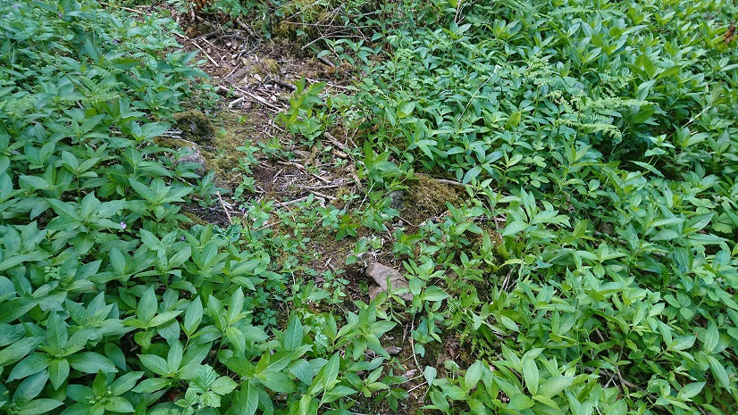
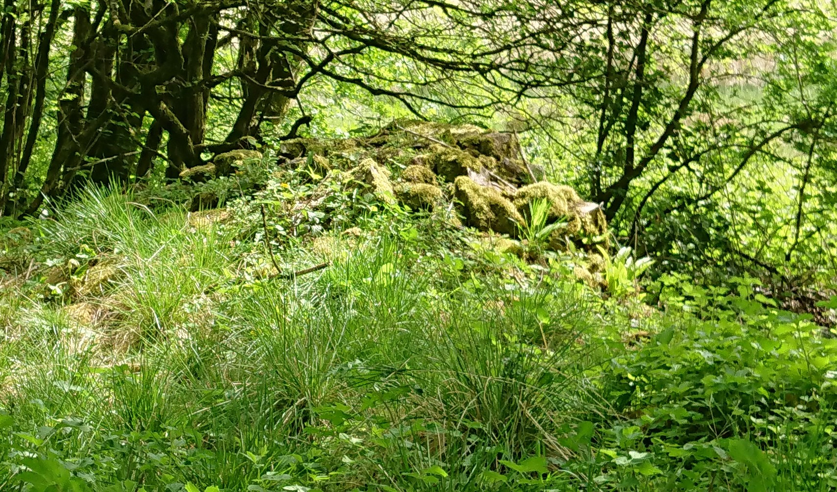
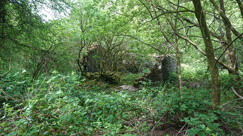
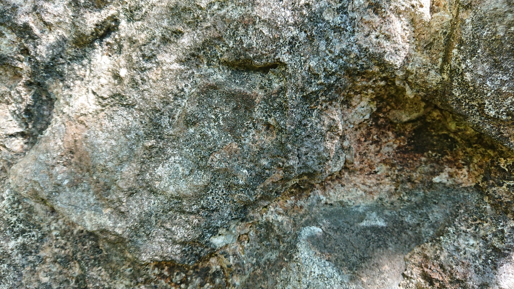
got us quite excited – at first sight it looked like a house platform but on closer inspection it was an outcrop.
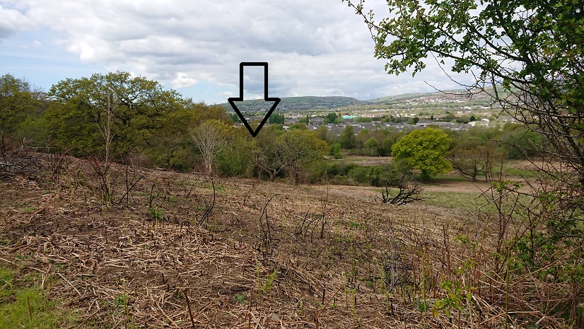
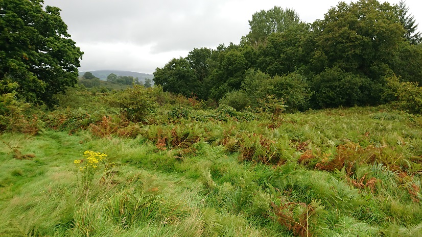
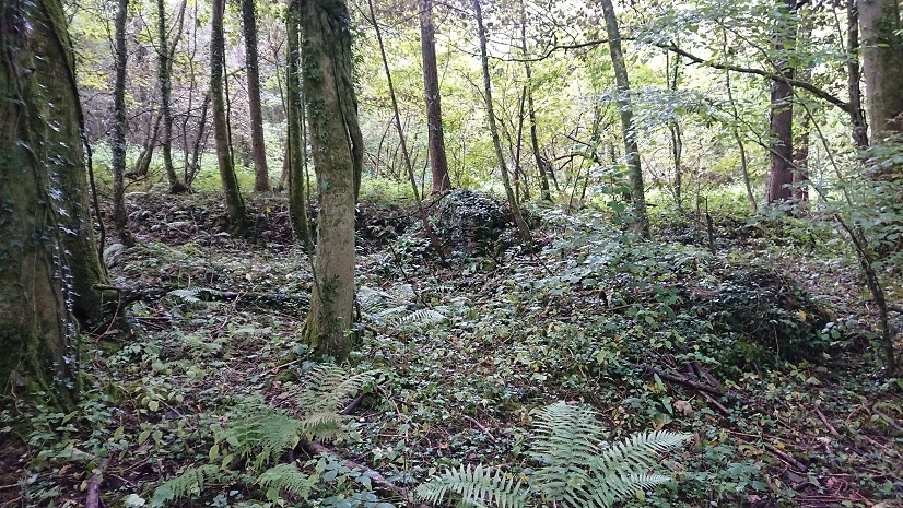
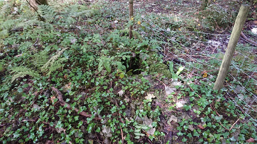
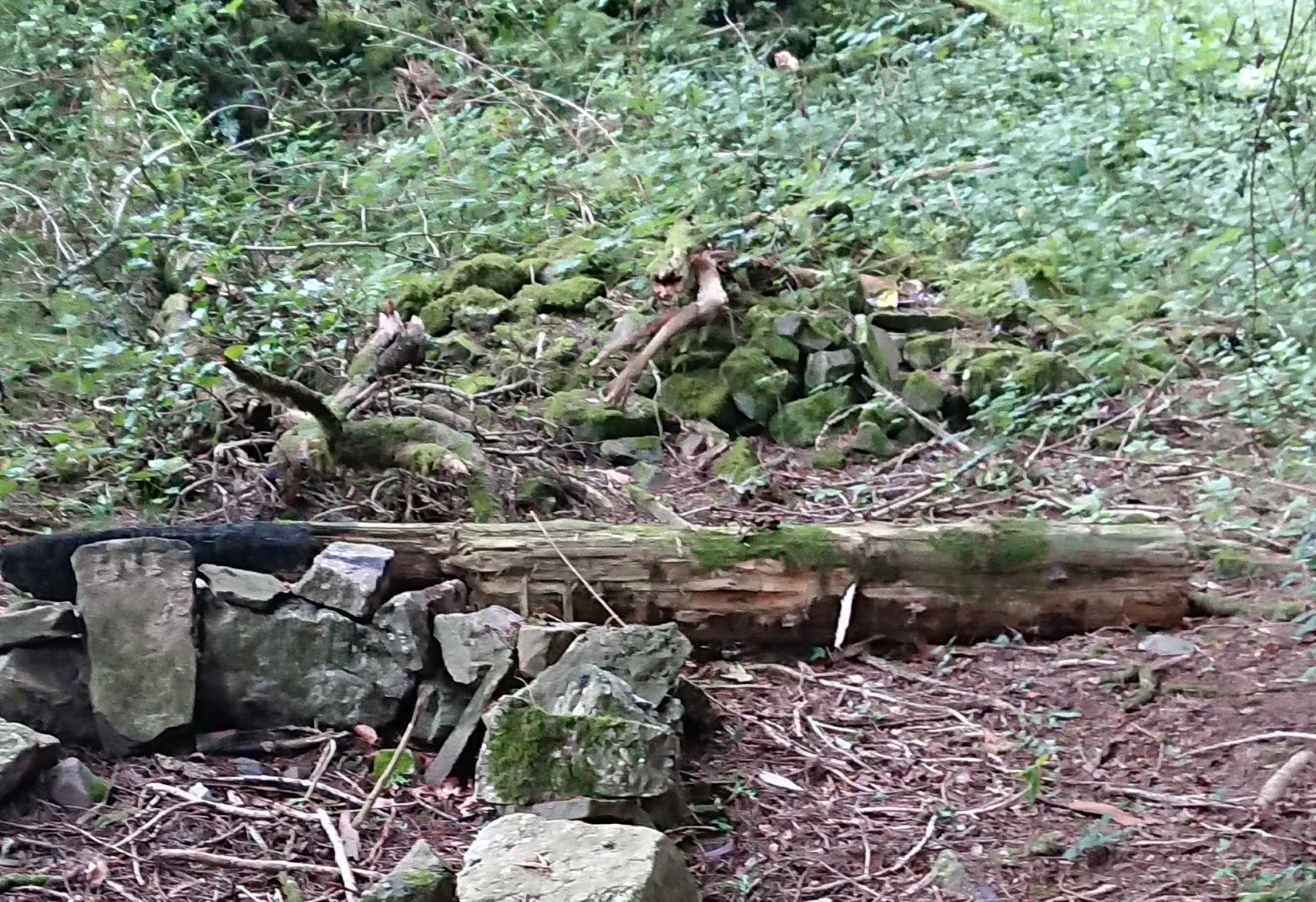
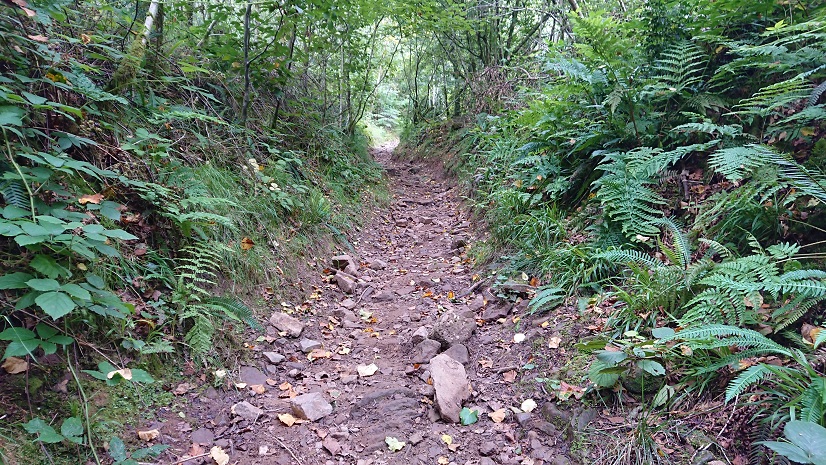
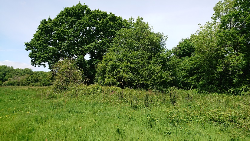
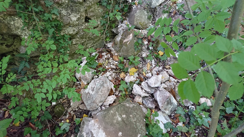
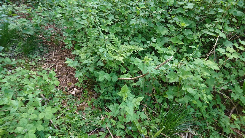
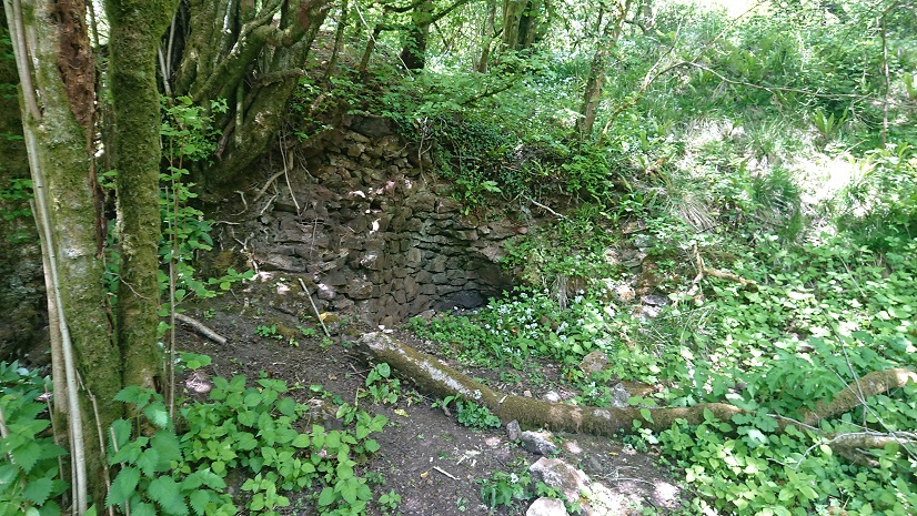
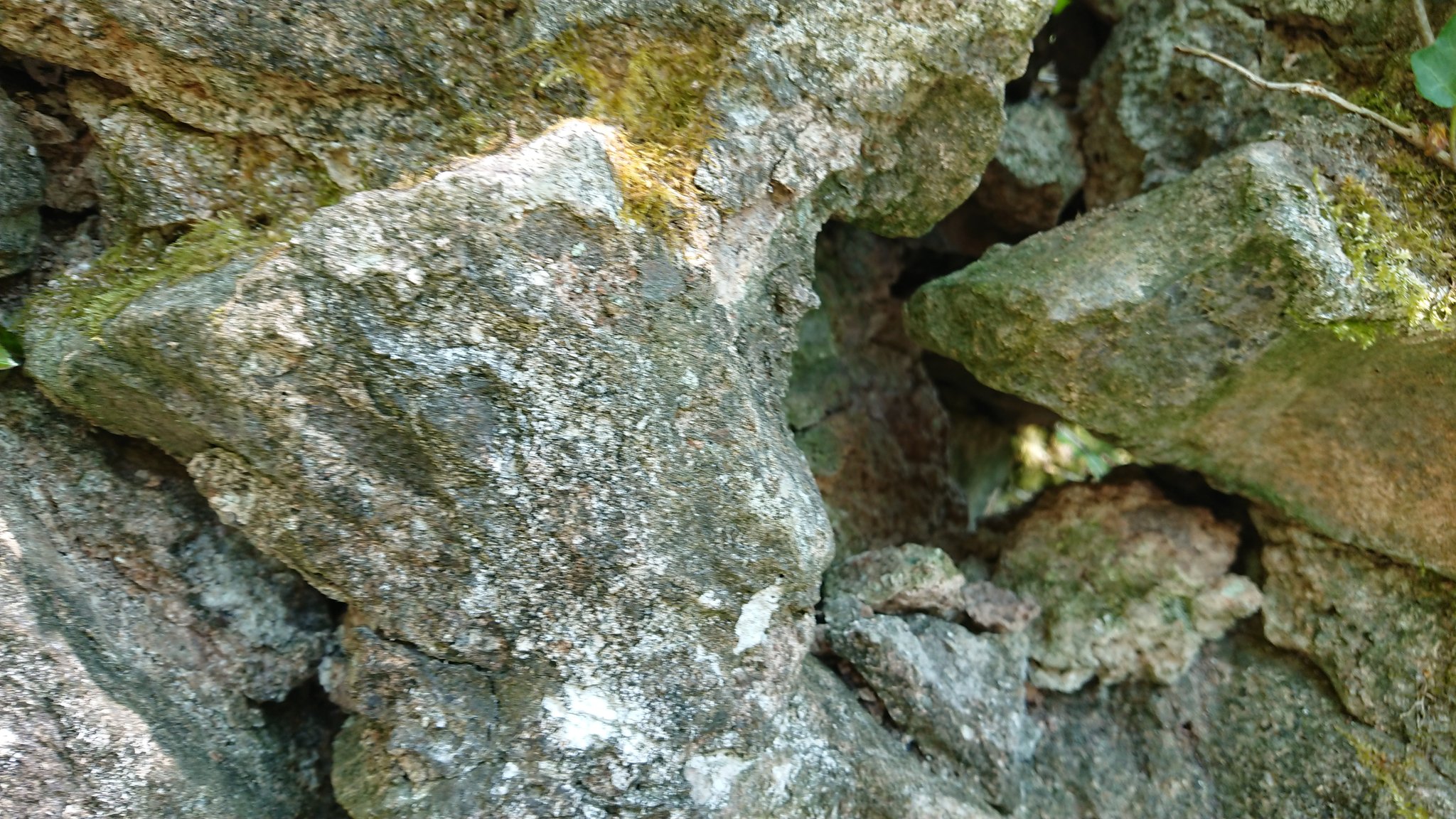
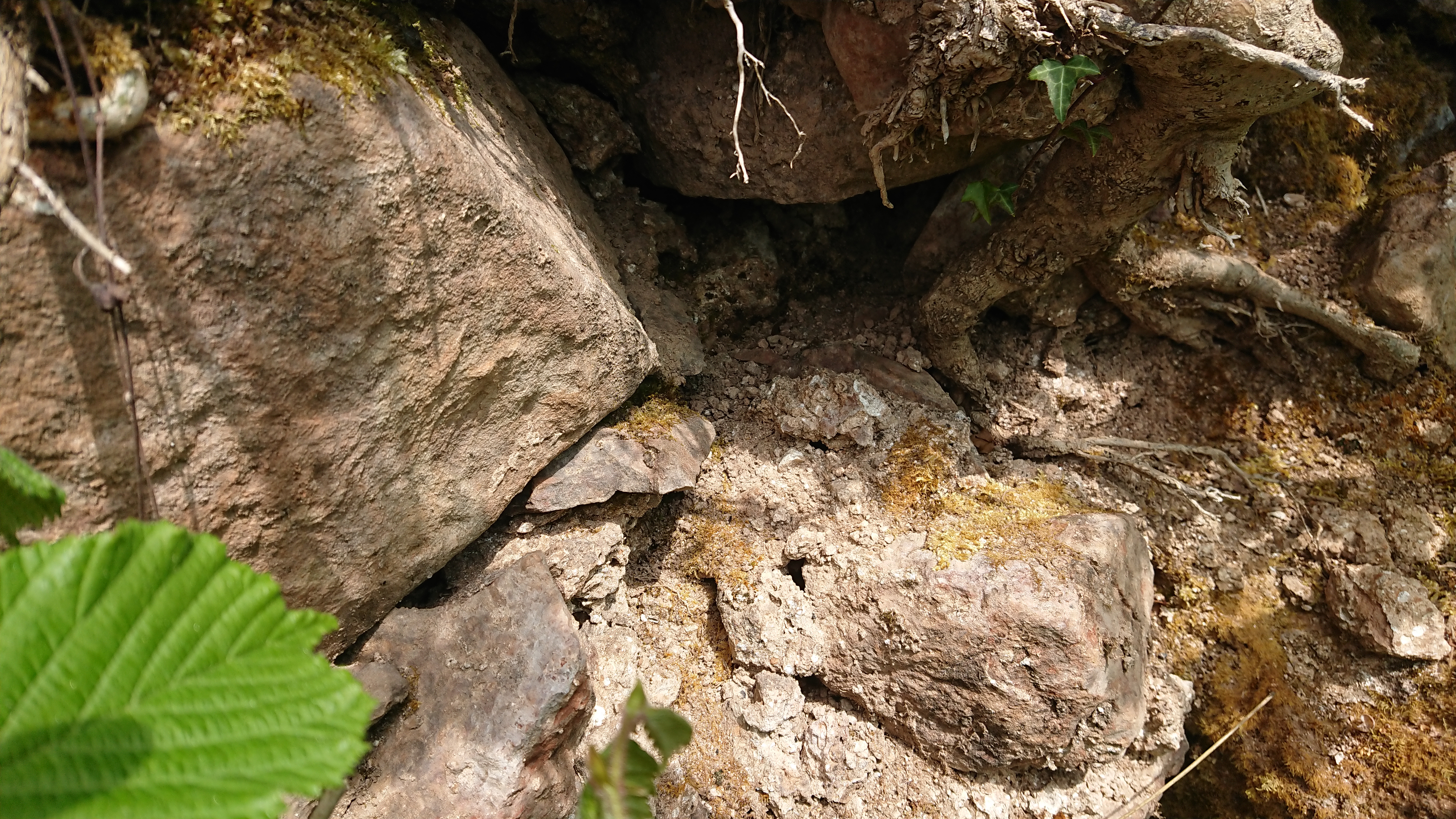
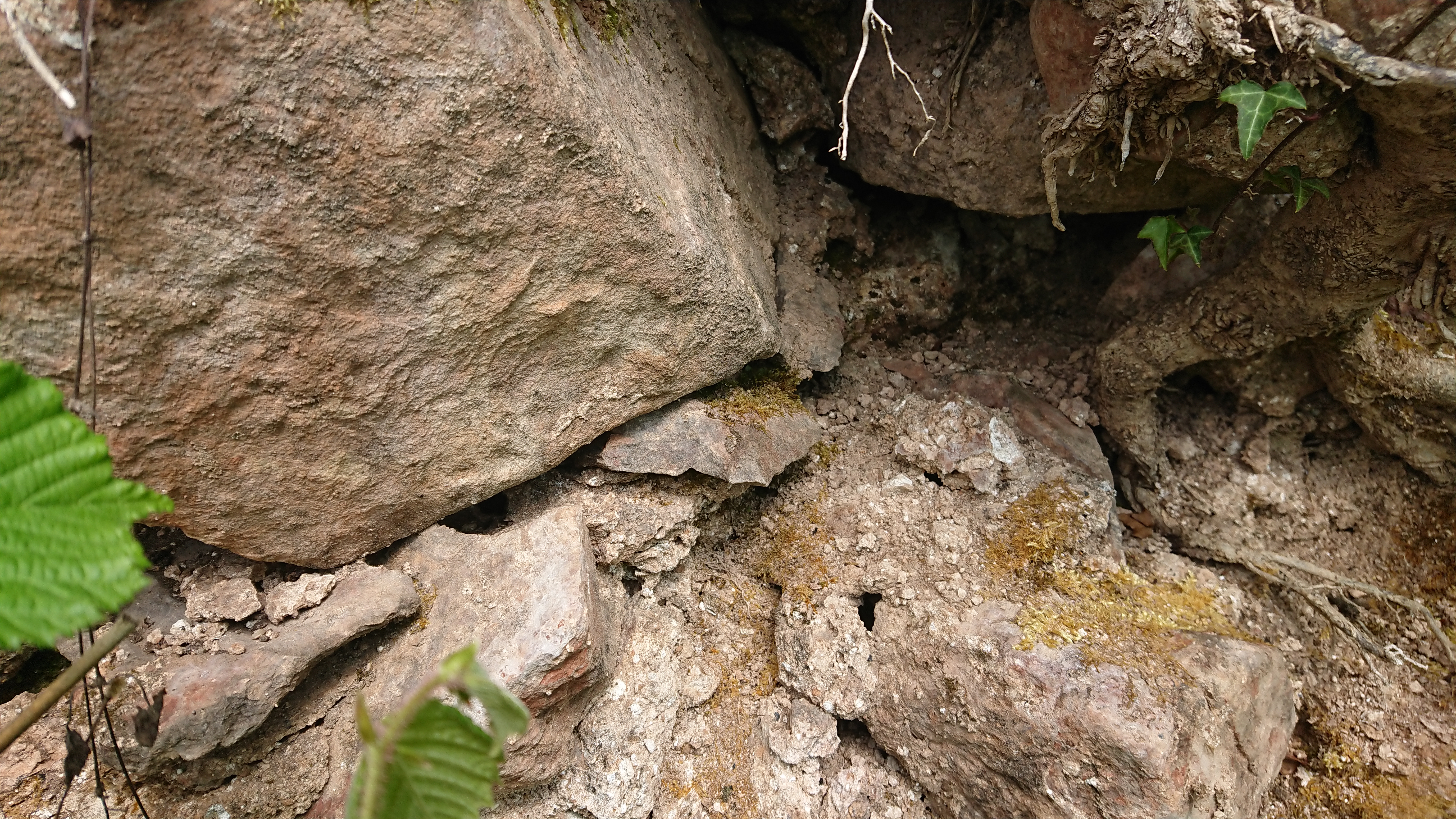
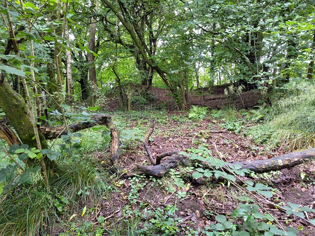
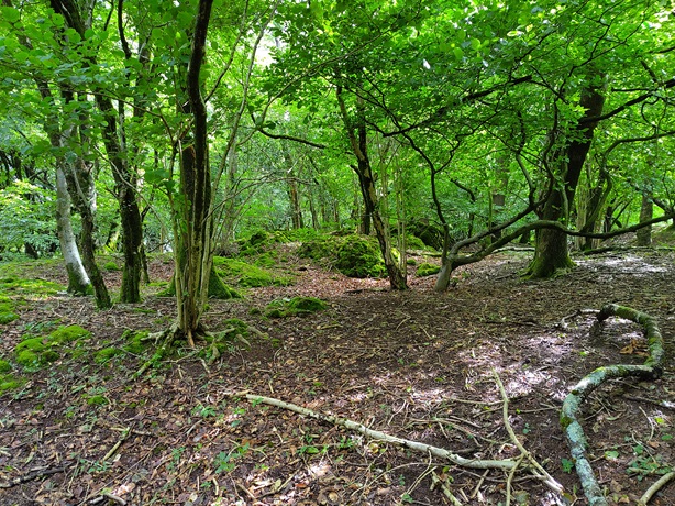
And were these
further evidence of digging?
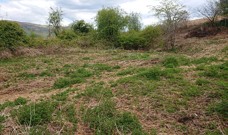
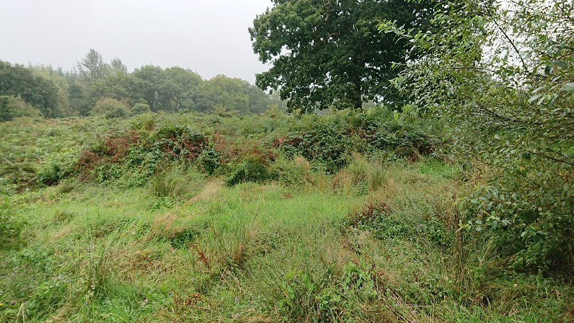
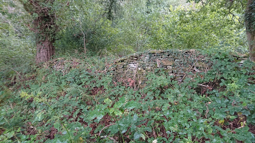
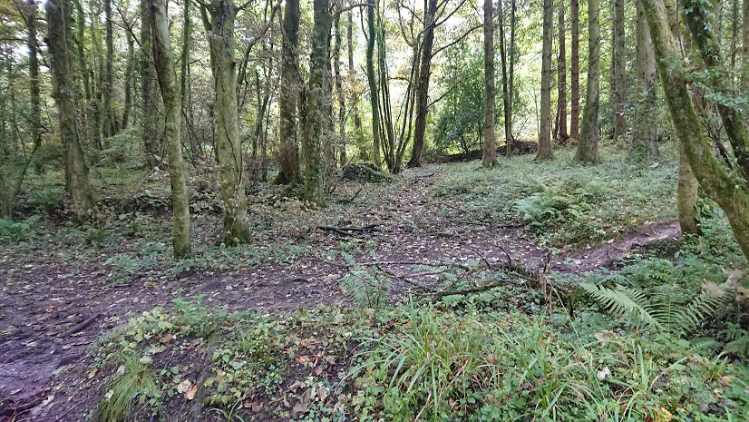
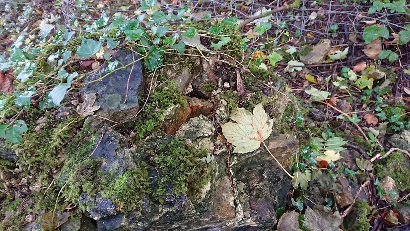
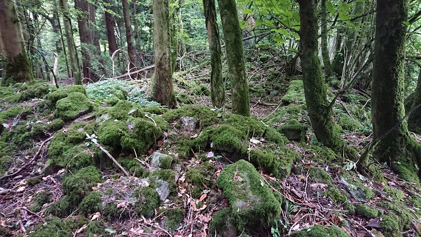
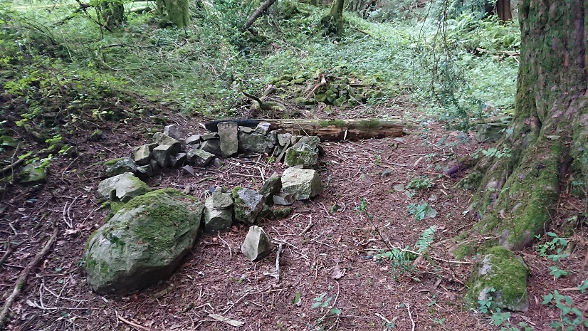
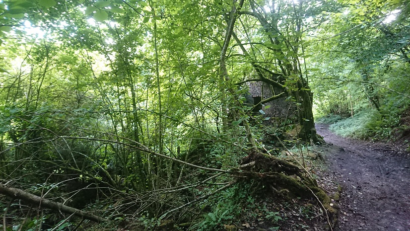
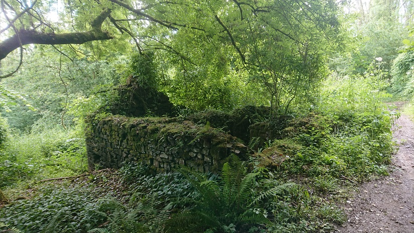
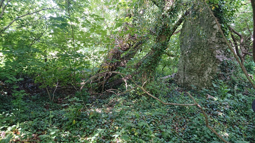
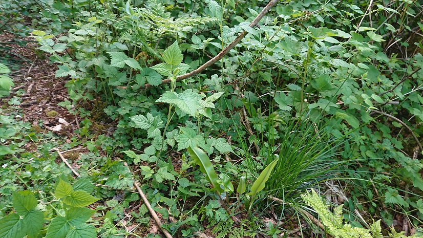
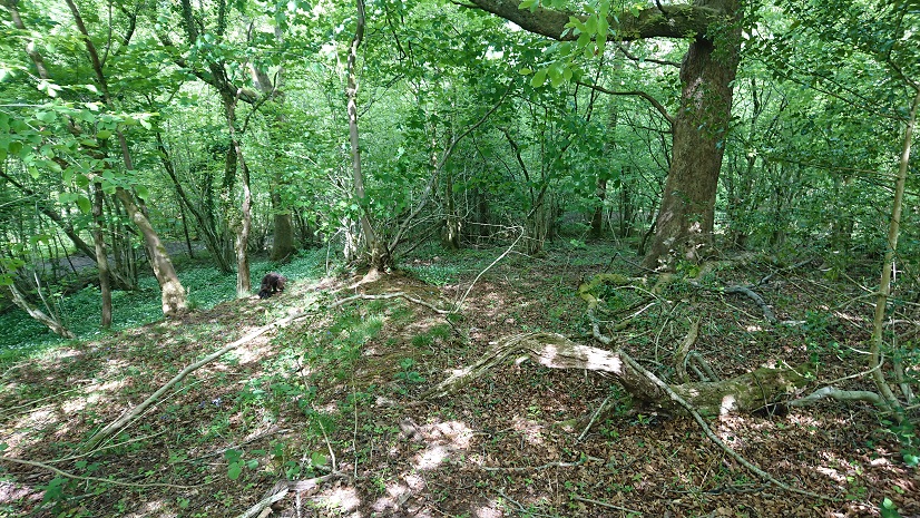
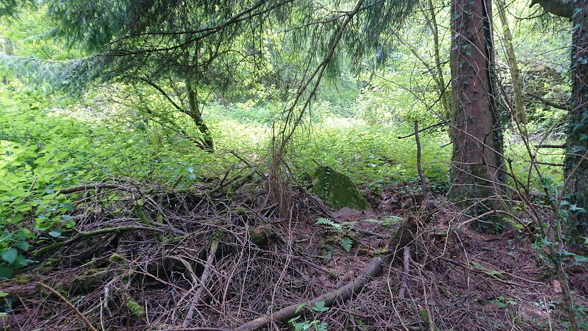
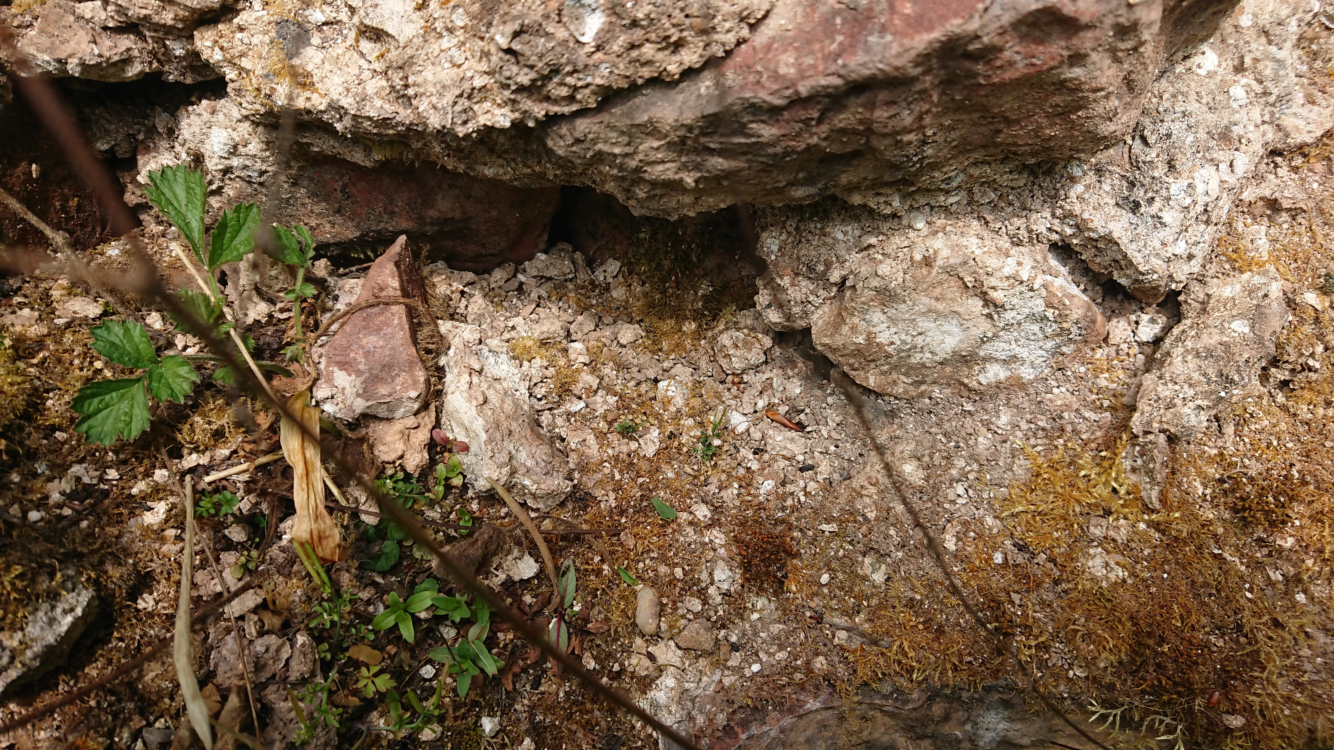
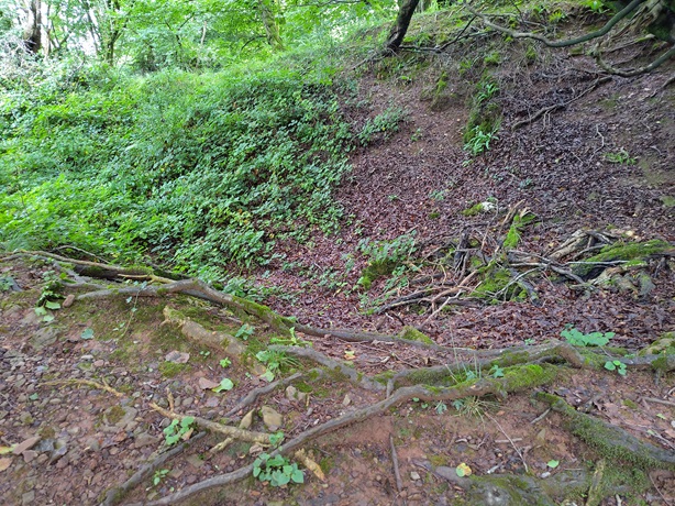
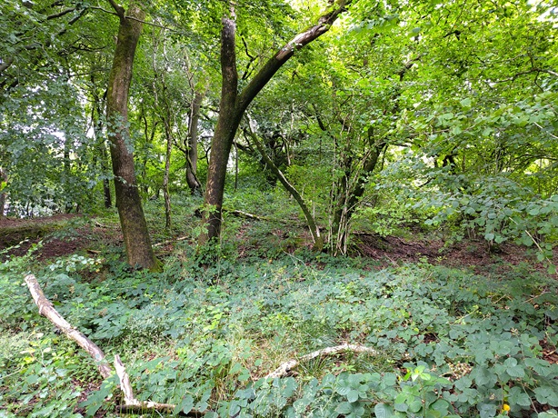
This was as near as we could get to something like a tip further down the Heol Hir
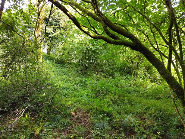
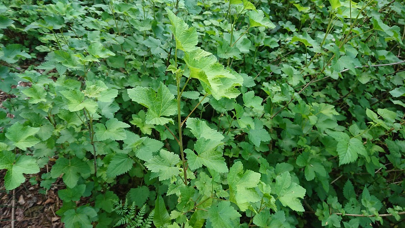
– we will have to go back when the leaves are off the trees and the undergrowth has died down a bit.
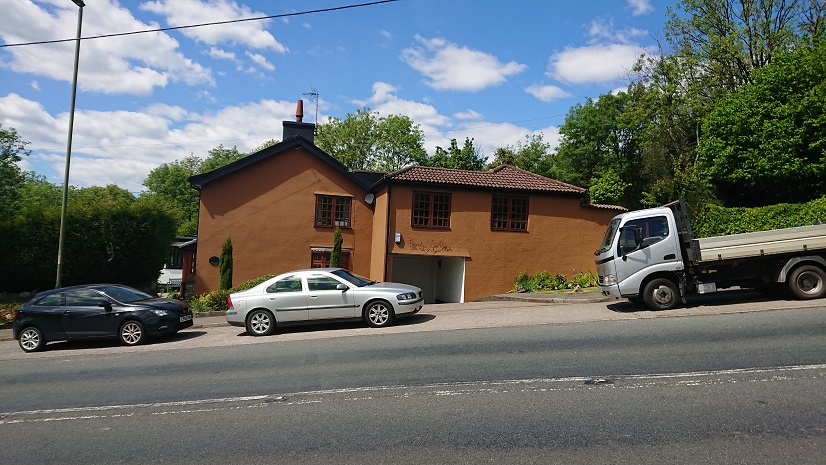
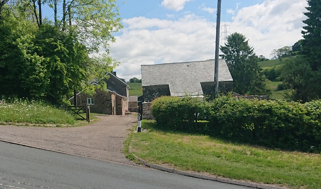
And where would the workers in these mines have lived? Should we be looking for more house platforms in the adjoining fields? Bwlch-y-llechfaen is right next to the upper tip, and Bwlch y Gelli is less than half a kilometer down the lane. A little further away are Ty Draw to the north (¾km) and a farm and cottage about the same distance down the Heol Hir to the south. If (and it’s a big if) these are on the site of medieval houses, and given that the mine would have been fairly small and not worked continuously, it’s possible that the men from these little farms worked in the mine when there was work to be had and that the women worked the land. This was the basis of much early industrial society. My own house originally had a garden almost big enough for a smallholding, with buildings for chickens and pigs. The men worked in the local mines and iron works and the women produced the food.