
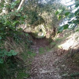
One fine day a fortnight ago – so we went out with Laleston Community Council, Bridgend CBC’s footpaths maintenance officer and Chris Jones-Jenkins who is doing the reconstruction illustrations, for another look at the proposed Merthyr Mawr and Laleston Stones trail. The footpath across the fields to Laleston and up to Llangewydd worked well and Chris had some very pertinent questions about the appearance and function of wayside crosses, the ‘look’ of the church and village at Llangewydd and the possible location of the ‘castle’ (was it ever more than a fortified residence?). But the walk back across the fields towards Candleston was tricky. The main road crossing was clearly dangerous (why is it so much worse crossing at that point – the crossing on the way to Laleston is usually OK?). The gates all sat in small lakes, and there was standing water across the path. Cara obligingly waded in and the water came to her shoulders so we didn’t bother. In any case there was a fence blocking the path beyond the mini lake. We decided to avoid the path to Candleston because it tends to turn into a river, but the alternative path back to Merthyr Mawr was even worse. The small ditch at the side of the field had turned into a 2-foot deep torrent. We jumped, scrambled, traversed fences … there were waymarks and stiles all the way but that isn’t much help when the stile is sitting in a foot of water!
On the other hand we all had a great time. But it clearly isn’t a walk for the inexperienced or faint-hearted. The community councillor suggested we look again at walking back along the Ffordd y Gyfraith: apparently it’s being closed to traffic at one point to enable it to be used as a walk-to-school route, so it would make a nice safe walk.
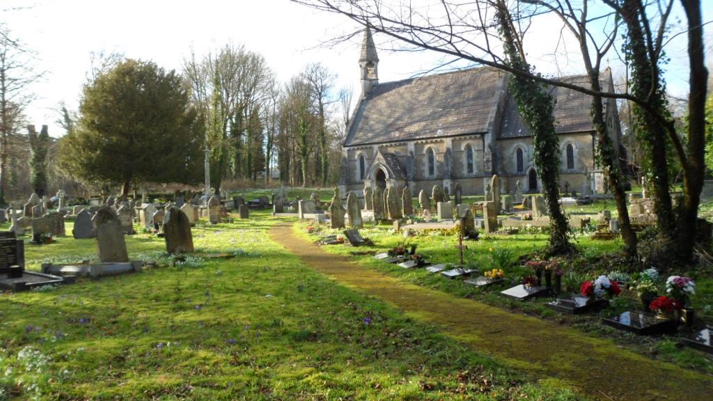
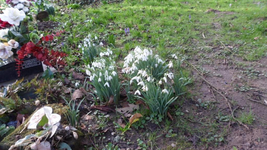
There was another fine day this week so Cara and I went out for another go. The sun shone and there were snowdrops and crocuses in the churchyard at Merthyr Mawr.
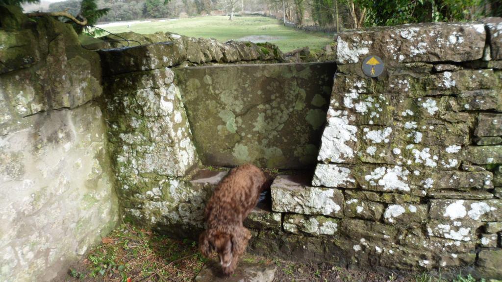
The community councillor had also suggested we use the footpath behind the church to cut off a bit of the road walking. Cara doesn’t like stiles but she has her own way of dealing with these stone stiles …
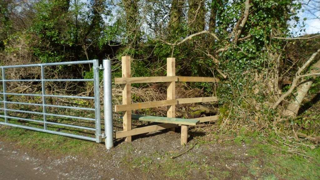
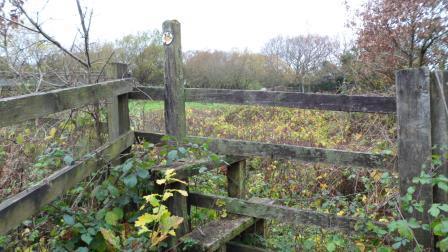
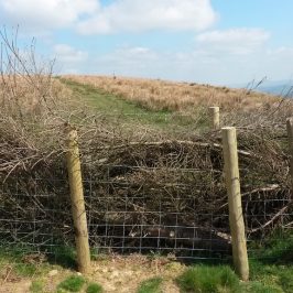
The lane to Whitton Farm has a nice new gate and stile.
This time we walked over the fields and straight on to Laleston village. The footpath goes along a very long narrow field – could this be the remains of the strip field system? The lane from the church and across the fields to the Ffordd y Gyfraith is muddy but passable – then you can continue as we did before to Llangewydd but walk straight back along the Ffordd y Gyfraith, or for an off-road route turn off at the kissing gate by the housing estate and return to the original route across the fields.
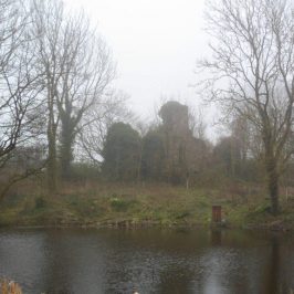
I still like the route past Candleston. You can bypass the lake and the blocked footpath, and once you get to the forest edge the path is good past Candleston Farm. But the track past the sand dunes was over a foot deep in fast-flowing water. We explored the horse track up the edge of the dunes.

It’s not a good alternative at that point because you have to climb all the way up and go over a mile to the west before you can turn left and make your way south to the car park. But you can get to the bridleway across the dunes from the top lane past Candleston Farm. It adds about 2 miles to the route but it’s a lovely walk across the dunes with views out to sea and over Ogmore Castle.
So I’ve rewritten the leaflet and sent it off, suggesting a basic circuit across the fields to Laleston, up the Ffordd y Gyfraith to Llangewydd then back down the Ffordd y Gyfraith to Merthyr Mawr, with the Candleston route as a fair-weather option. There’s still a bit of work to be done on stiles and waymarks but it should be in place by the summer.
Leave a Reply