My old student Dave Standing (tweets as @AncientTorfaen ) suggested that the mortar in the farmhouse walls might give an idea of dating. We had an energetic discussion of this on Twitter and I’m not sure how well it works – but in general it’s suggested that the paler the mortar, the earlier the building, and when you get to the C19 it’s the dreaded black mortar.
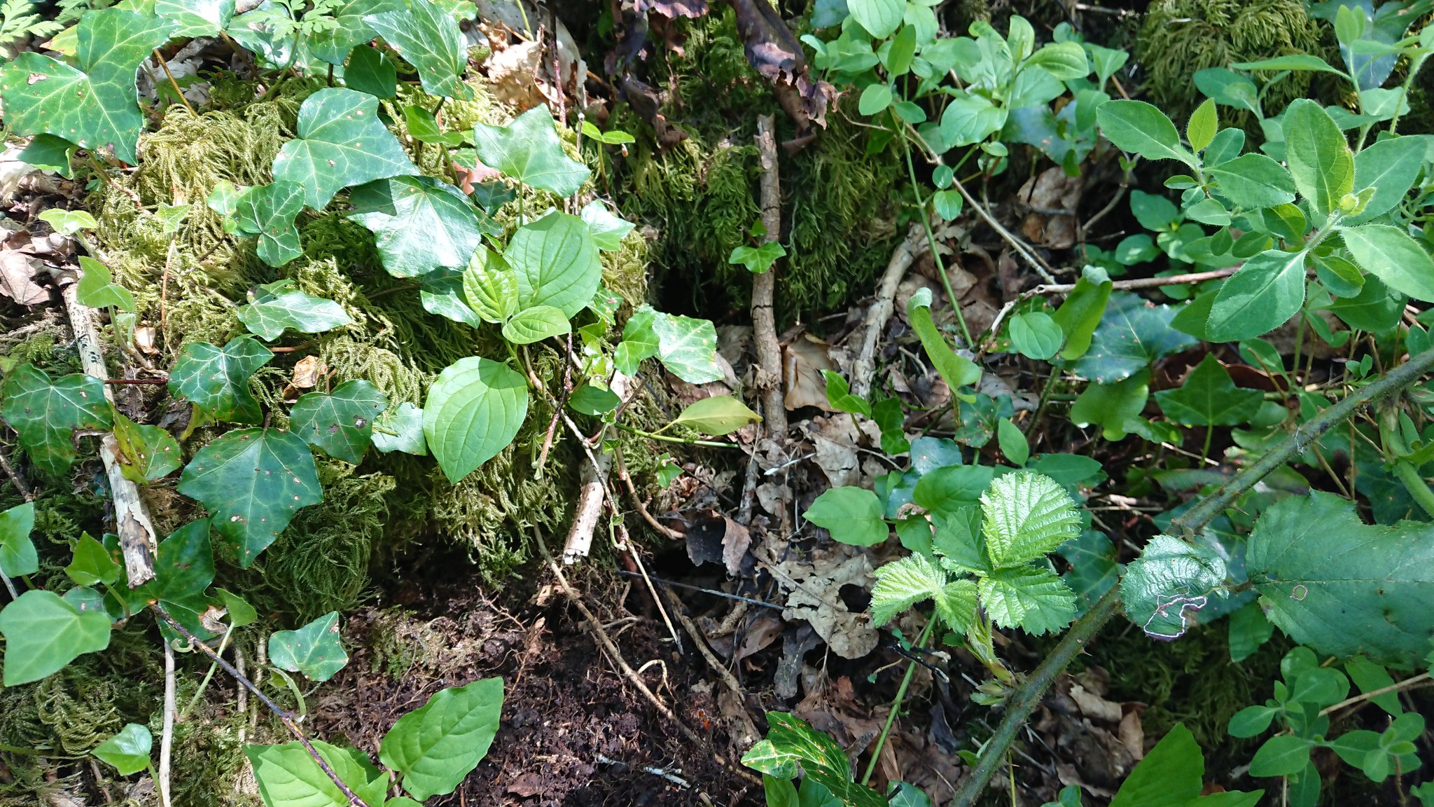
Of course, all this is dependent on being able to see the mortar in the first place. Here are the walls of the unidentified farmhouse in Coed Wenallt: you’d have to take these apart to get mortar samples.
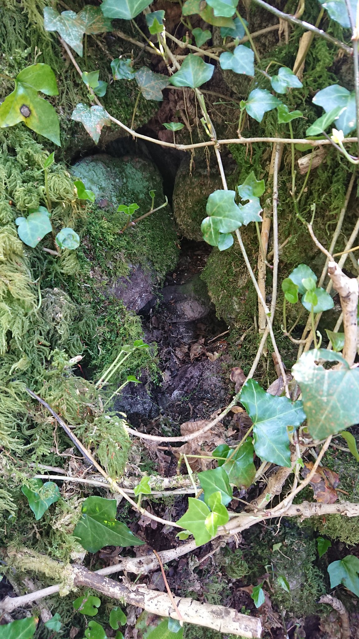
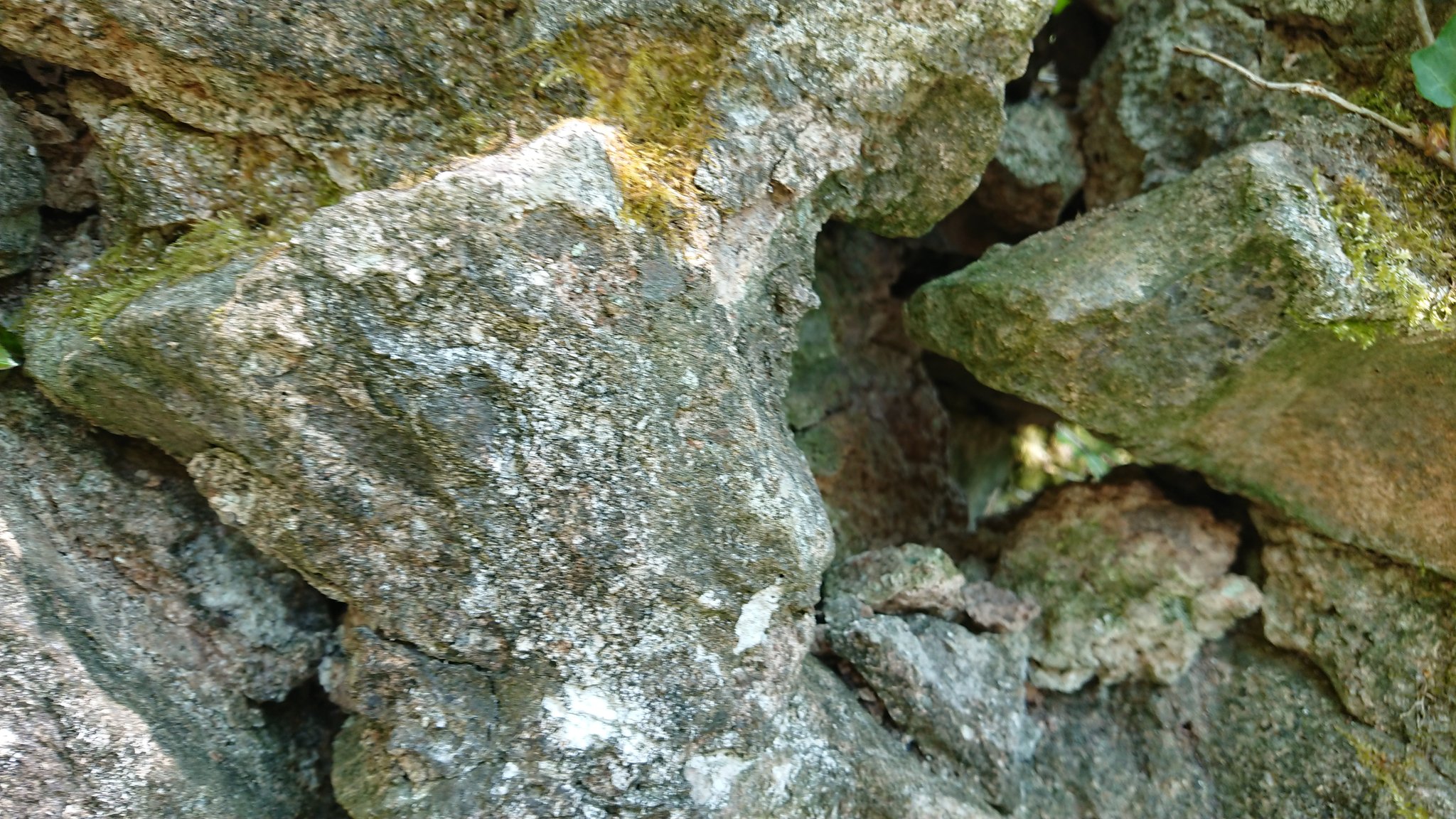
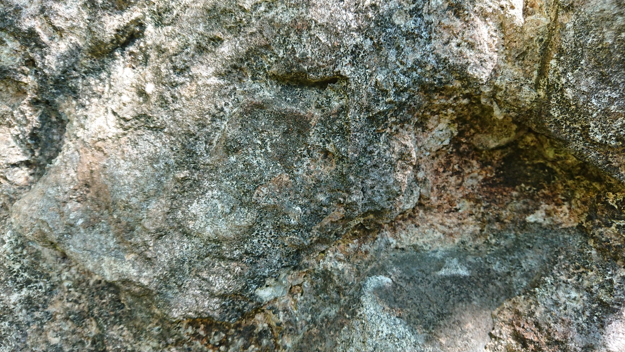
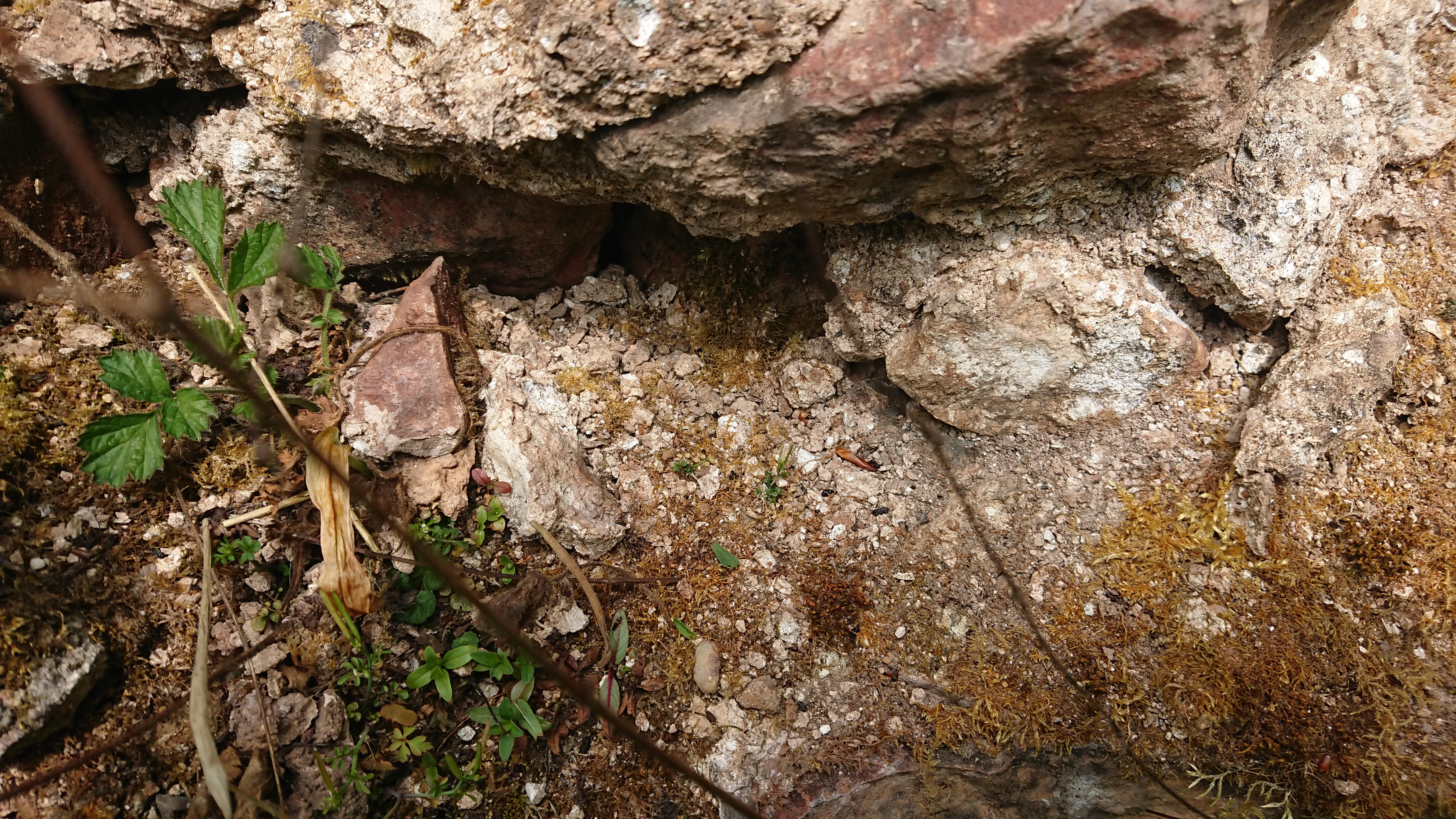
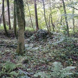
This was the only wall I could get to at Cwmnofydd:
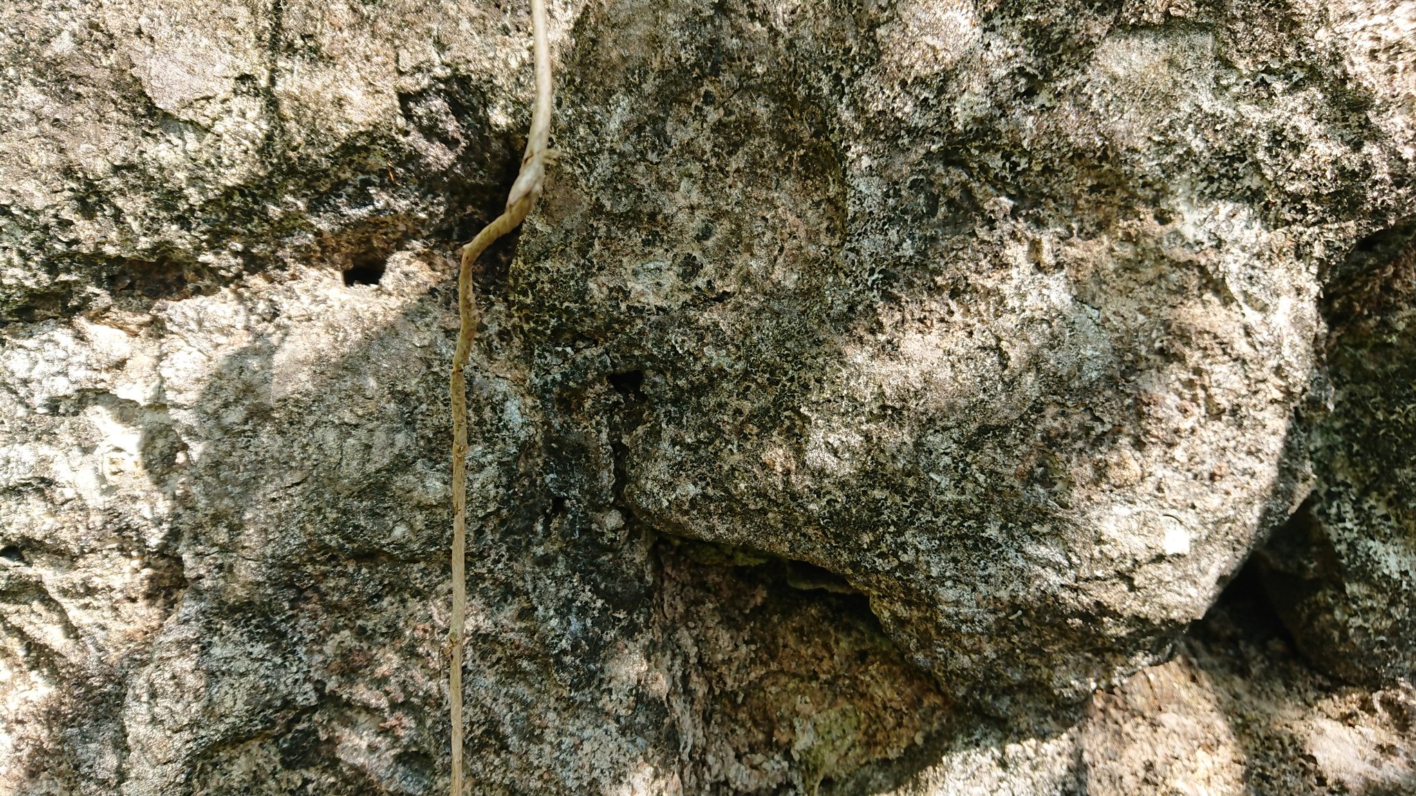
rendered and heavily patched with cement, but is this a bit of creamy-beige mortar under the render?
And the farm at the top of the Heol Hir: quite a lot of coarse pale greyish-brown (while balancing precariously on a pile of logs, with the dog on the lead because there were sheep about …)
Looking again at the map, I realised I’d misidentified that farm. It’s not Bwlchygelli but Bwlchylechfaen. Bwlchygelli is back a bit along the path AND I HAVEN’T SPOTTED IT – time for another trip. The moral of this is that you need both field work and desk-top survey.
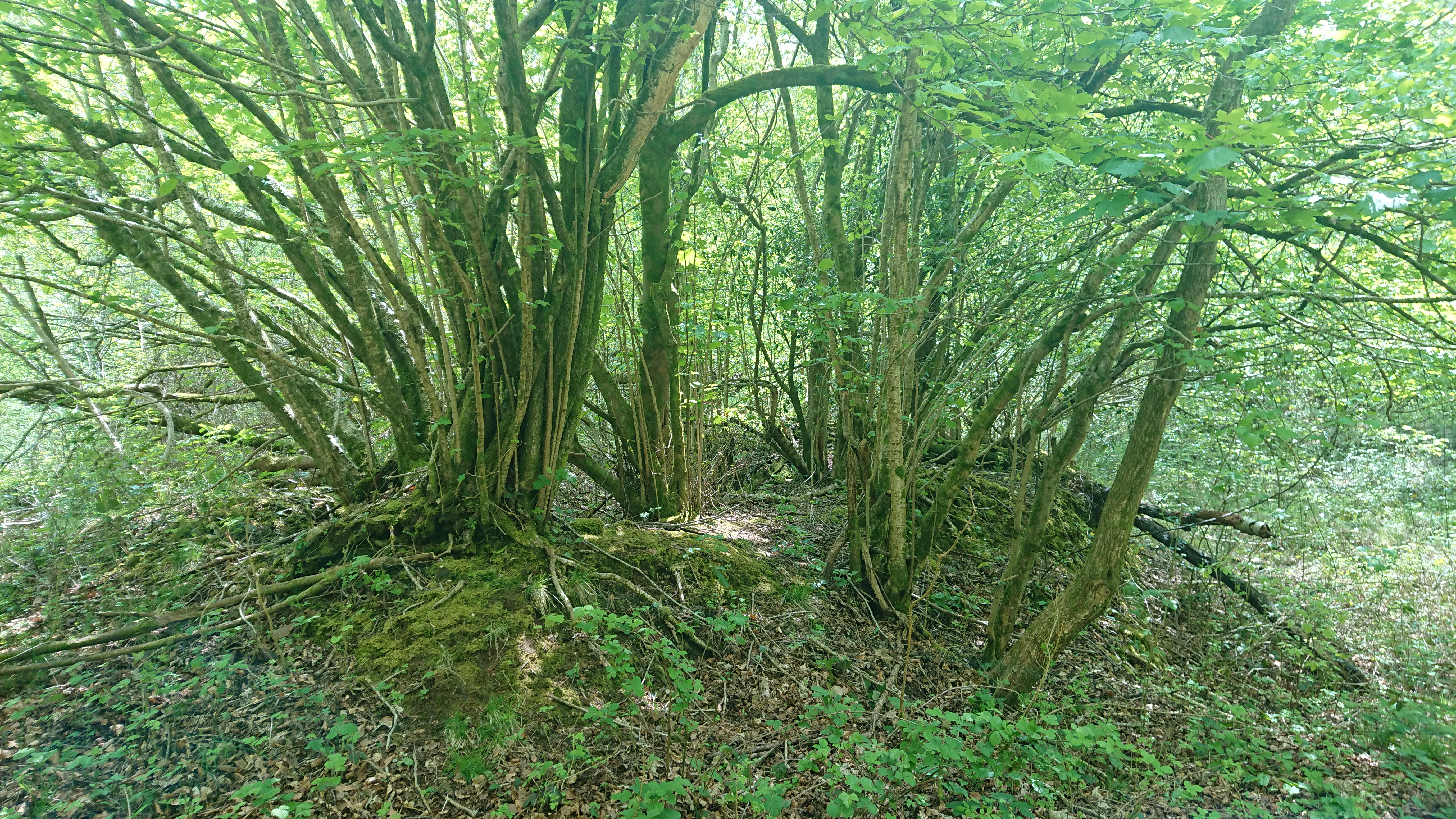
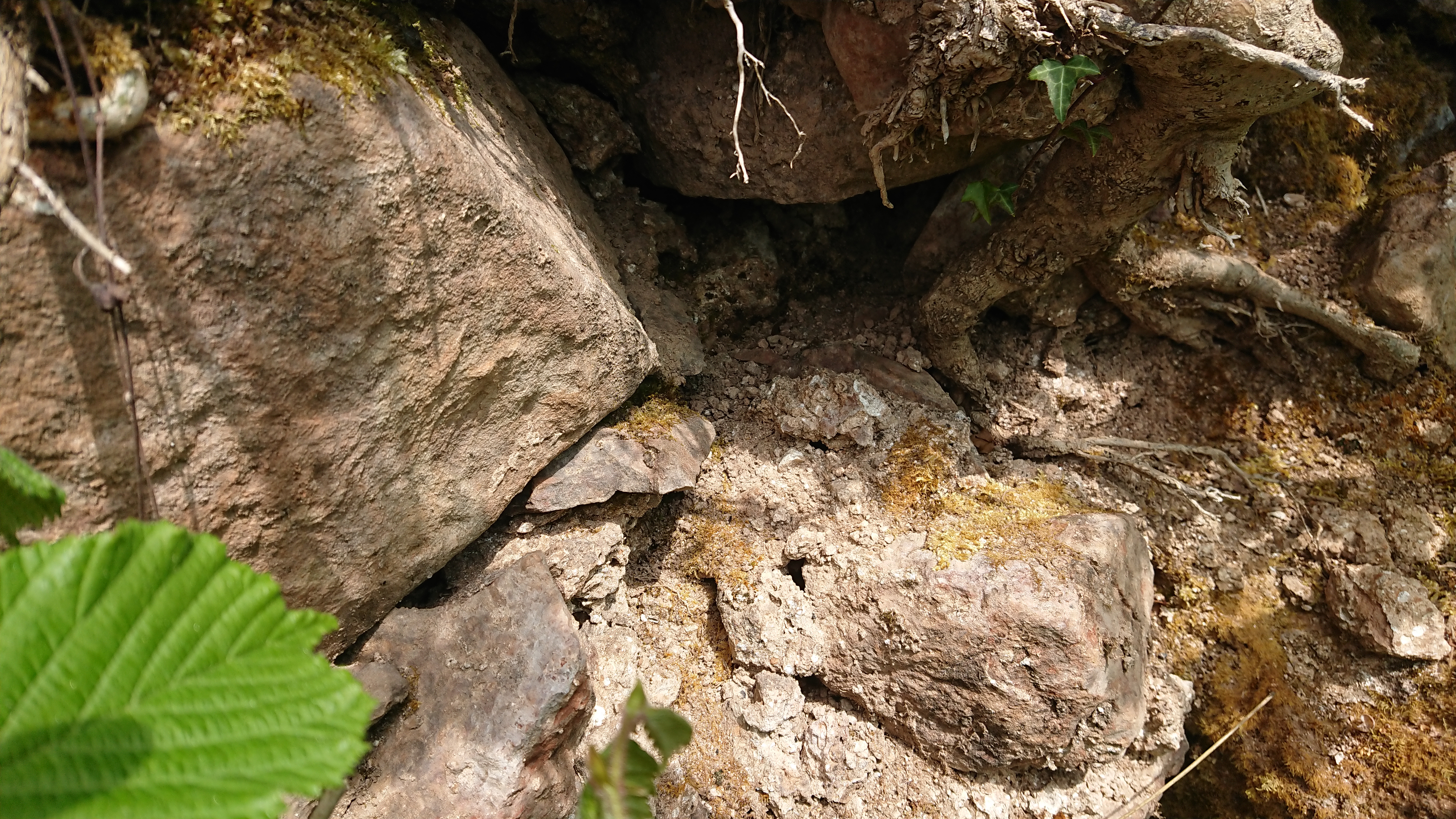
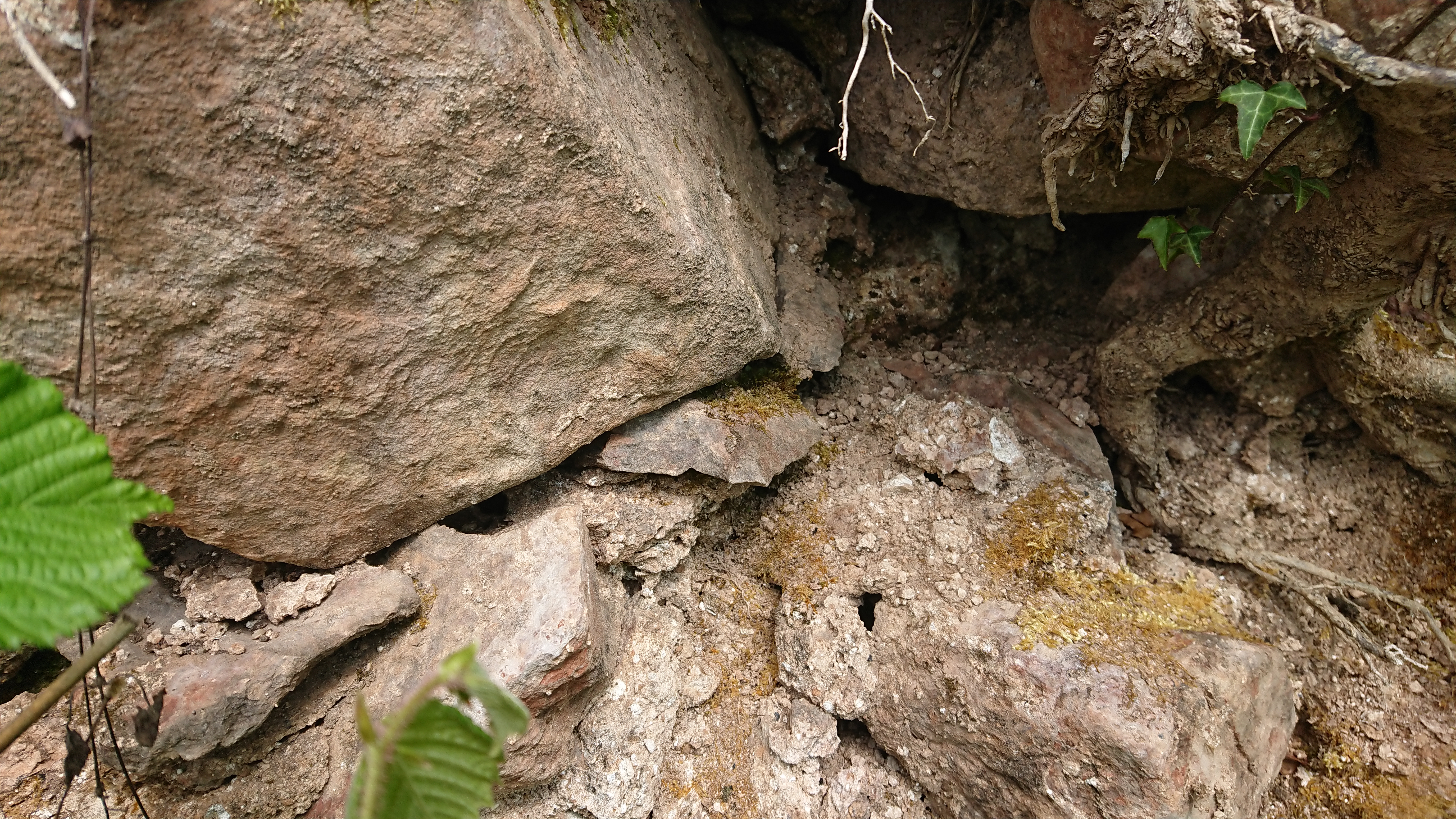
We went up the ridge towards Rudry Common then down the lane towards the Wern-Ddu clay pits. When we were nearly back down at the Heol Hir we spotted this at about ST 17270 85337 –
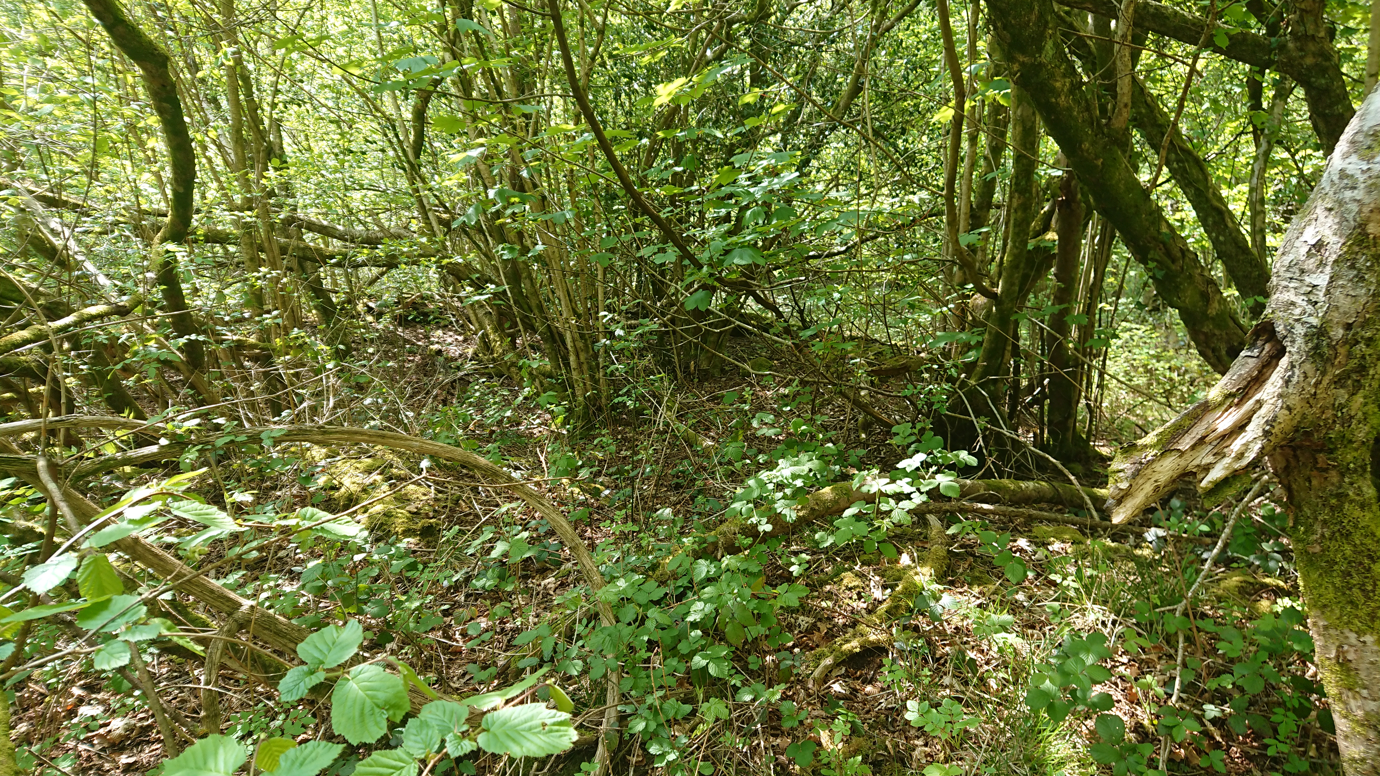
spoil from the old quarry, or is it suspiciously rectangular?

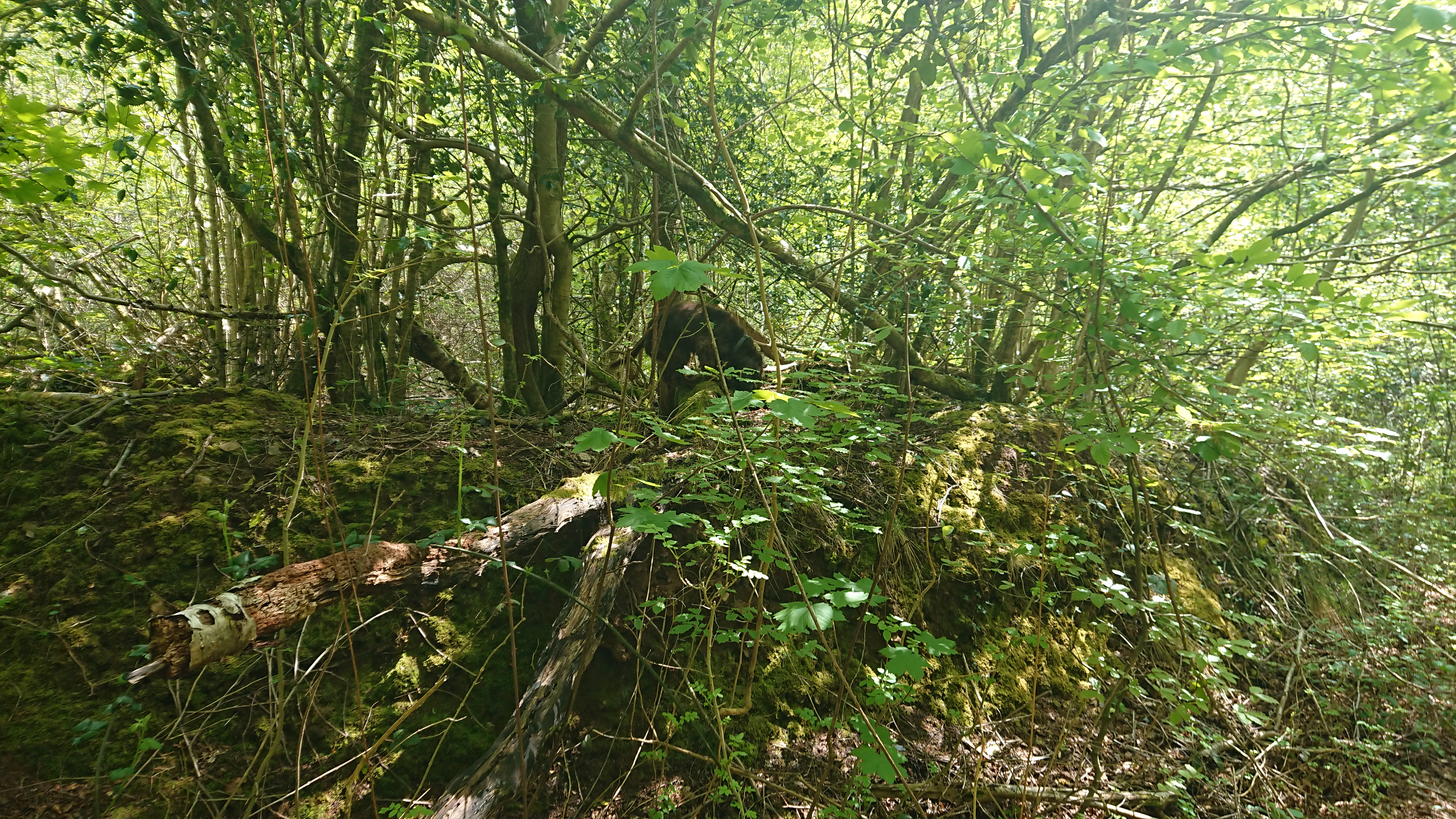
(You can just see Nell on top of the ‘wall’ here.)
There is a farm marked in the area, Ty-Draw, marked as a ruin on the 1840 tithe plan, but from the map it looks to be below the track, and down quite a steep slope.
Then there’s Ty’n-y-Parc, the other side of the railway tunnel and in the woods towards the Rudry road at ST 17827 85906. Not sure if that one is still there – there’s something on the modern map but it could be a ruin.
Watch this space …


John Owen
Hi, I did some work on this area years ago, but lost my information when my computer crashed. Bwlch y Gelli and Bwlc h y Llechfaen are two crossings of the ridge. Yates Ma of 1799 show separate routes to them. O f the two, th latter is the more important.It’s an extension of Heol Hir, the Llanishen, and ascends the ridge in a hollow way, and on Yates map goes down, on one side towards Wernddu and the Van Mansion. There is another route along the ridge towards Rudry Common.The existing road from Wernddu to Rudry Common is fairly modern, cutting through the Deer Park of the Van. The woods on both sides of this road atea again, fairly modern, the TitheMap shows a pattern of fields. Again, from memory, I think there were fields associated with both Bwlch y Gelli and Bwlc h yLlechfaen. Ginger G Jones, in his initial history of Caerphilly, says both sites were associated with lead mining, with a wooden railway taking the ore to the railway, near the tunnel. There are what appear to be cool heaps from this mining along the ridge. One near Bwlc h y Llechfaen, could be mistaken for a motte.In view of the existence of Vill Pen y Prisg to the west, the eastern boundary of which must be Cefn Carnau Uchaf, the manor or Rudry to the east, and Lisvane to the south, are both sites fairly recent squatter development. The IPM of Gilbert de Clare, 1295 mentions Glyncof, Grencoyd, Keueynon with the coals of Keuenkarn. They mention six and a half acres of arable and parcels of pasure. Keueynon, and Keuenkarn are easily identified, So could the both Bwlch sites be part of the arable and pasture
Madeleine Gray
Many thanks, John – that’s all very helpful. Do you have any thoughts on the ones north of the ridge? I’d like to think that what I found was Ty-Draw but it looks as though it’s on the wrong side of the track. I must have another look at Yates.
This is all a bit off topic for me – it’s really just a result of going walking with my neighbour’s dog and thinking ‘Heap of stones – wonder what that is …’
John Owen
The Tithe shows Ty Draw, and six fields. Bwlch y Gelli and Bwlch y Llechfaen are in finger of Rudry Parish. The TitheMap shows the current road from the Van to Rudry. Ty in y Parc is shown in the middle of fields, apart from the bottom left-hand corner. Across the road near Parc y Fan, what is now woodland is shown as fields. I was told the Plymouth Estate decided to create plantations to meet the demand for pit props, in the late 19th century and tenants were evicted. In the late 1950s Ty yn y Patc was occupied by the brother of a friend of my mother’s, he was a Forester for Fountain Forestry. I’ve never been able to understand the Parish layout , the Van Hamlet is a part of Bedwas, Rudry seems to be linked with Bedwas, Rhyd y Gwern Hamlet is part of Machen.,and Llanfedw is part of Michaestone y Vedw. The parishes being in different medieval lordships, and both sides of the Rhymney. You know, obviously that one meaning of Bwlch is pass, which is why both are on a ridge crossing, at one time I thought the llechfaen element indicated a standing stone, but my wife says it could mean ‘small stones’ which makes sense since there’s an outcrop of conglomerate along the ridge.
Madeleine Gray
Thanks again – especially for the info about Ty’n-y-parc. I want to go and have another look at Ty-draw but it’s a bit of a walk from here! Also thanks for the parish boundaries. They are as you say very odd, crossing the river and the county boundary as they do – but a lot about the county boundaries doesn’t make sense. My mother was brought up at Cefn Llwyd, in Llanfedw. She went to Michaelstone elementary school, but when she passed the Scholarship to go to grammar school, she couldn’t go to Basaleg or Cardiff: she had to lodge with family friends and go to Caerphilly.
I will probably post some more photos when I get over there again. I ought to look at the census as well – all a bit modern for me these days!
John Owen
My totally irrational theory about the Parish boundaries is that the Welsh lordships, Semghenydd and Gwumwg were divided by the Rhymney river. But around 1100, there was an initial Norman advance up the river, ringworm at Gwern yDomen, Ruperra, and Caerphilly, se e G. T. Clark’s 1854 plan of Caerphilly castle, for the latter. So possibly, they established the parishes, without reference to the Welsh boundaries. But, by 1158, Ifor Bach and so that, the Welsh recovered lost ground in the lower Rhymney valley, but were stuck with the parish boundaries. In Vol2, I think of the Glamorgan County, it’s suggested that the Members of Caerphilly, in the 1295 IPM of Gilbert De Clare, reflect a multiple estate based on Caerphilly. !e!best include the Red Castle, Hendrefemi and Rudry. These are recorded as D esmeneses of the Marcher Lord in William Rees ‘s map. Rudry is sometimes described as a manor, but does the Parish reflect the memories boundaries?.
John Owen
Hi,
Have you seen Cefn Carnau Fach?, It’s one of the three farms with the name Cefn Carnau, the other two are stop inhabited, but this is a ruin. It’s on the path, possibly a ridge way that runs along the ridge to Machen. If you go north from the Travellers Rest, turn left in the hollow , and eventually you come to the site, the route is a public right of way, despite their course.
Madeleine Gray
The Cefn Carnau Fach marked on the OS map is still occupied (with a second home made out of the outbuildings). Cefn Carnau Fawr is a bigger complex but a ruin – I think I posted a couple of photos of it in the earlier post at https://www.heritagetortoise.co.uk/2020/04/lost-farms-lost-settlements/ . IIRC there’s something still occupied at the top of Cefn Carnau Lane (just below where the old tin tabernacle was) but I’m not sure if it’s on the site of Cefn Carnau Uchaf or something totally new.
Going to have another go at it tomorrow.