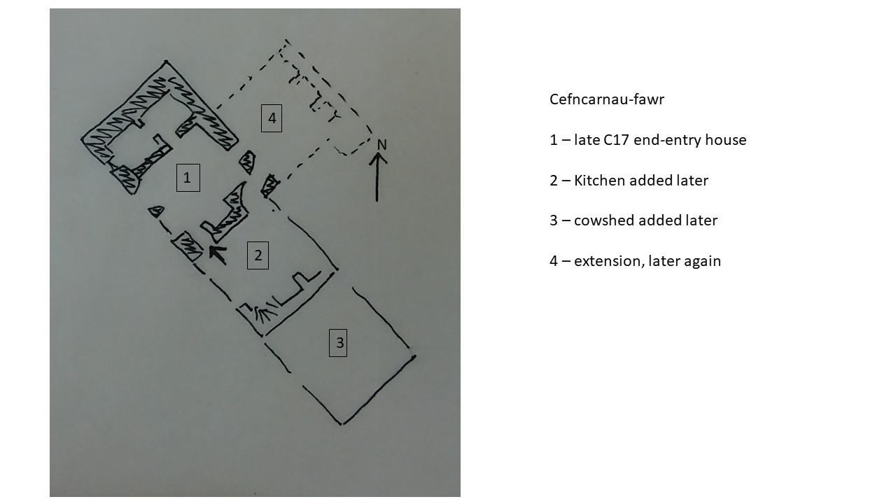
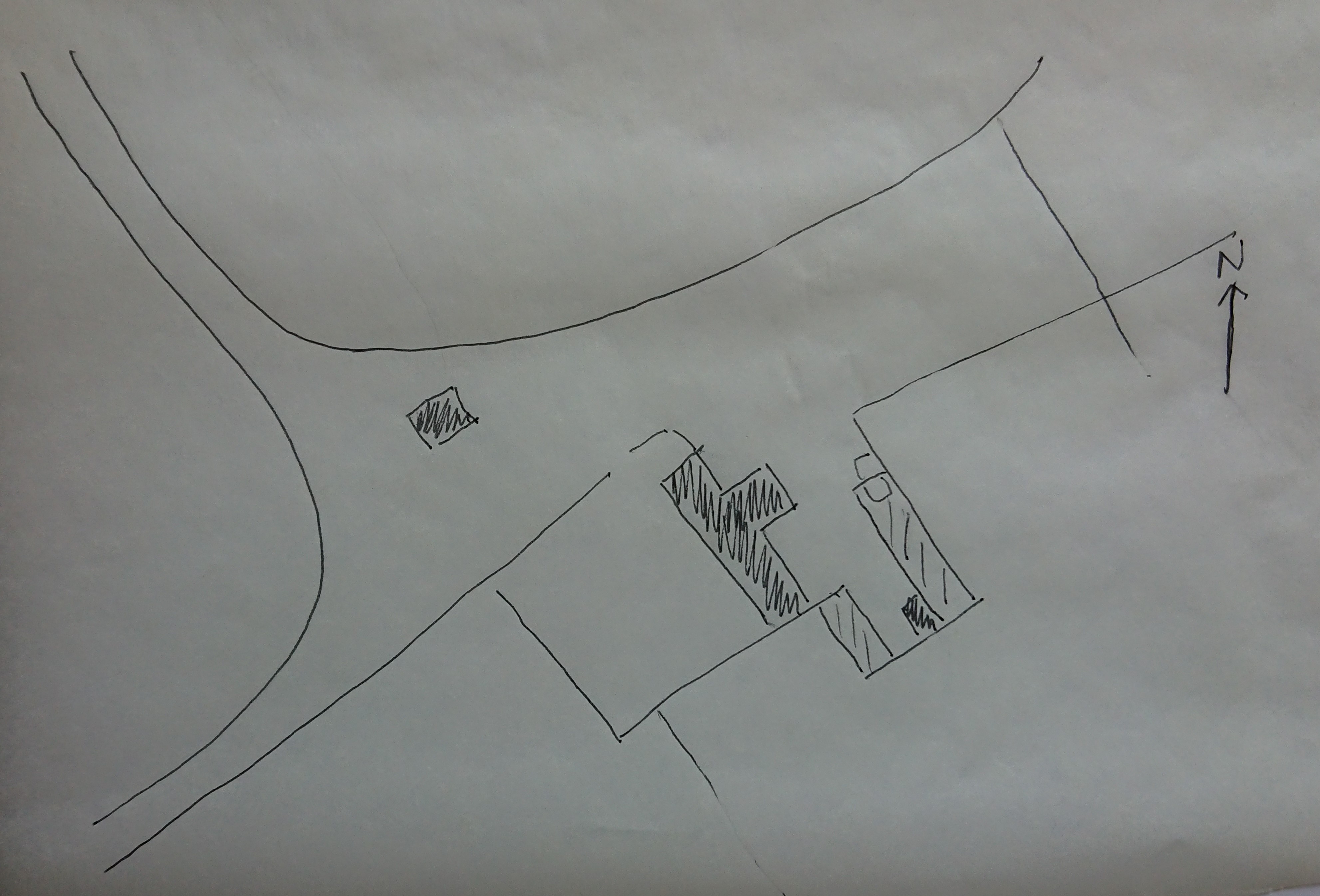
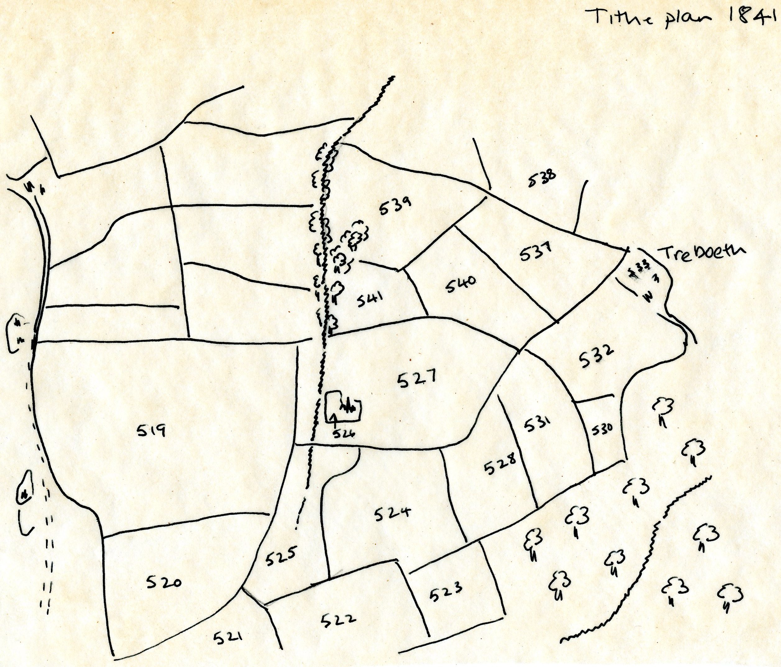
As I expected, there was very little to see on the site of the Warren farm. It’s on the tithe plan but as part of Treboeth, the farm to the east (https://www.heritagetortoise.co.uk/2020/08/tre-boeth-the-warm-town/). Here’s a sketch plan based on the tithe plan on places.library.wales (field numbers refer to the tithe apportionment – click through to that from the map on the web site)
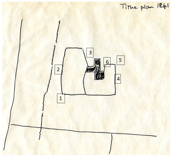
and the detail of the actual farmstead
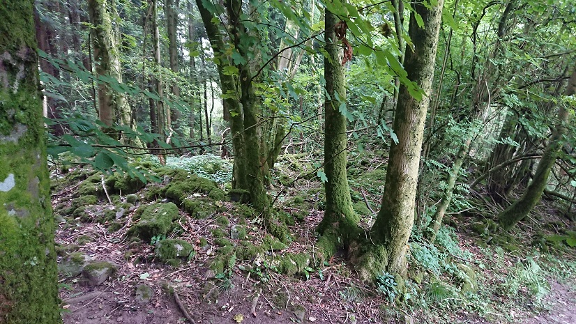
By the time of the first 6” Ordnance Survey it had vanished under the forest.
Or had it?
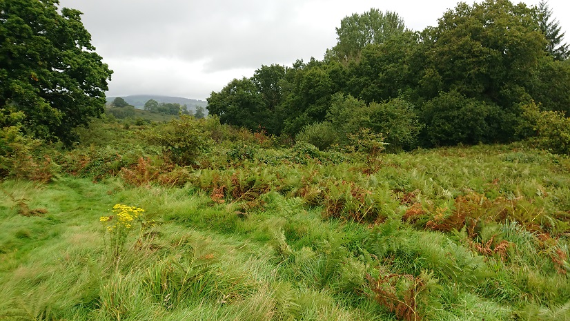
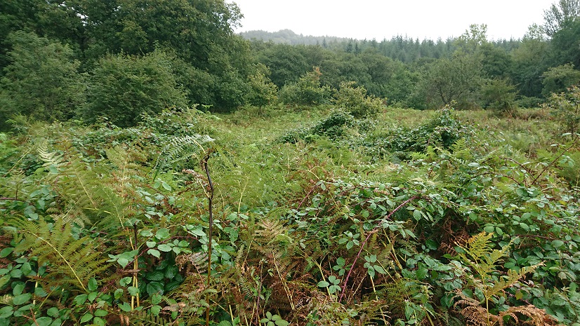
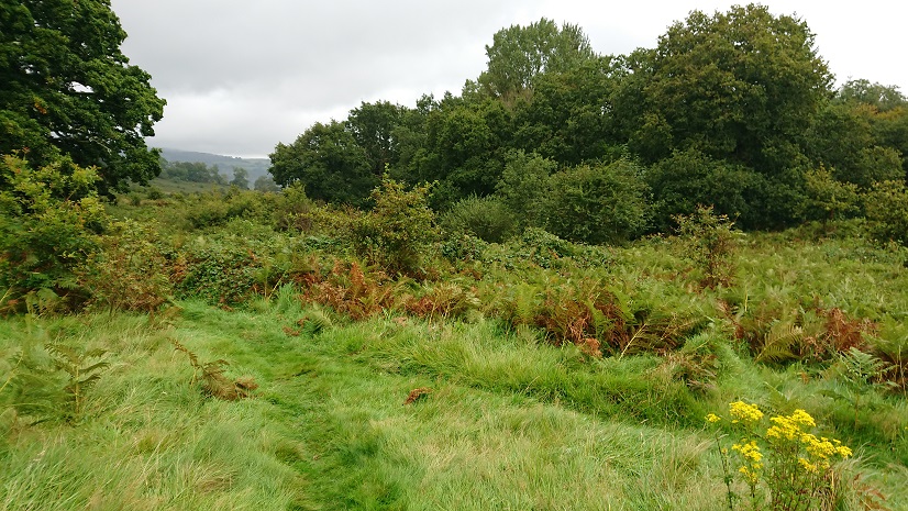
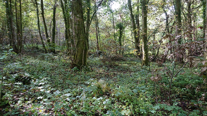
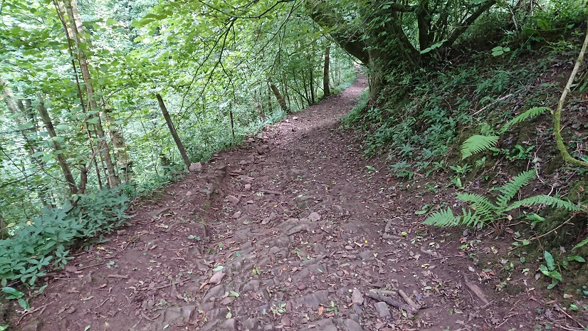
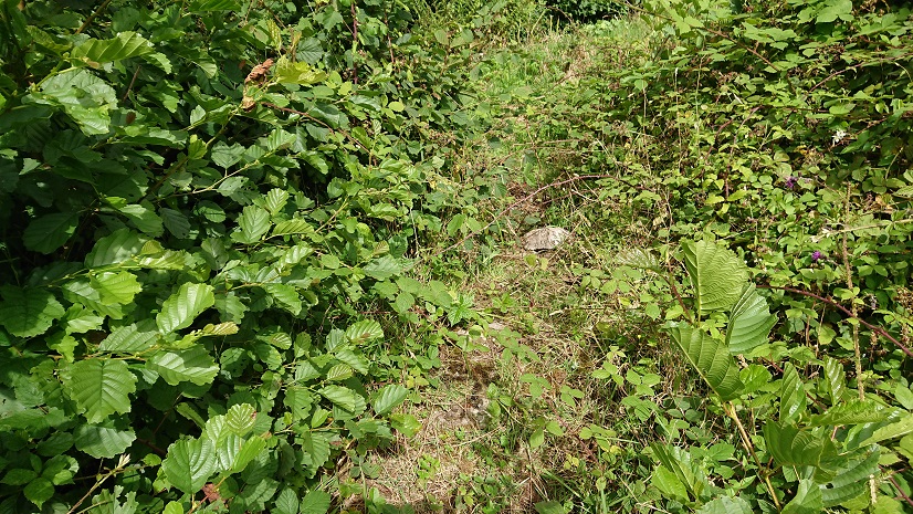
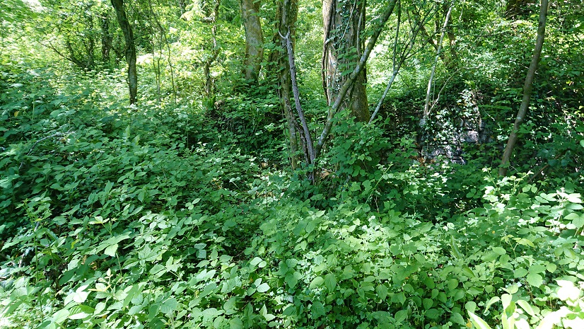
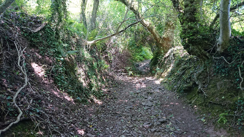
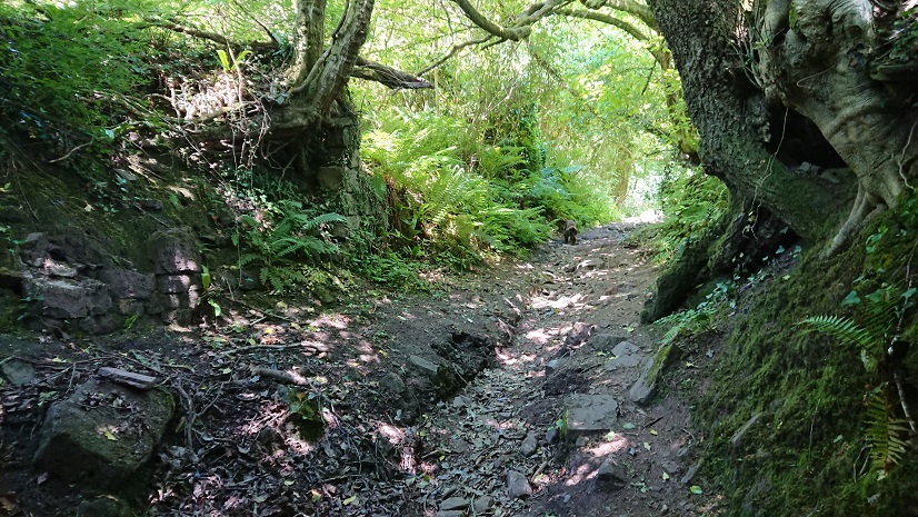
Part of the difficulty is that the track marked on the modern OS running past it isn’t really there on the ground. You really need the eye of faith to identify this as a track!
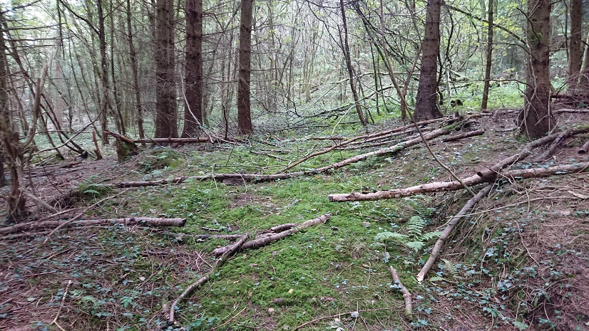
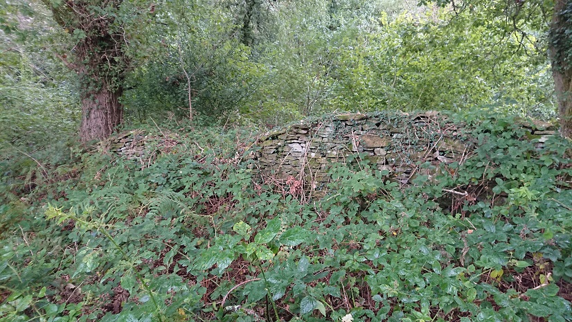
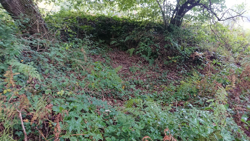
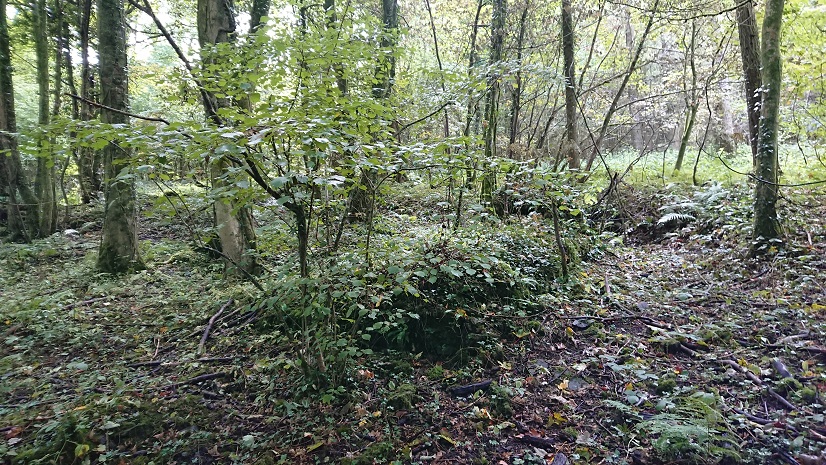
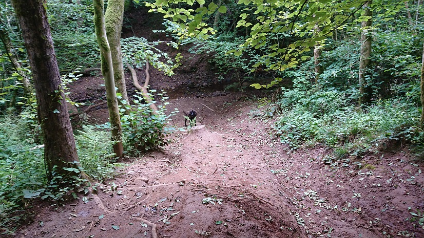
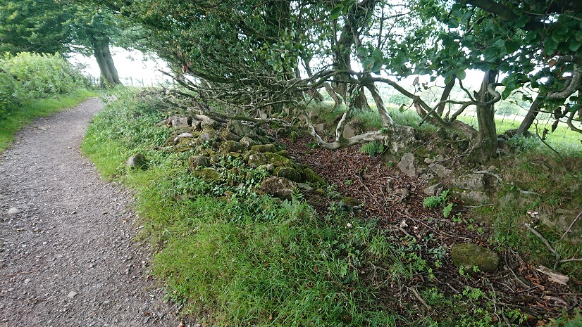
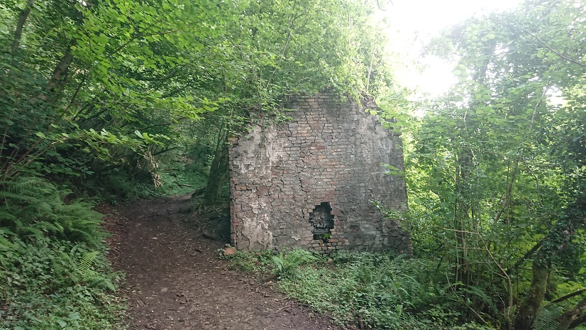
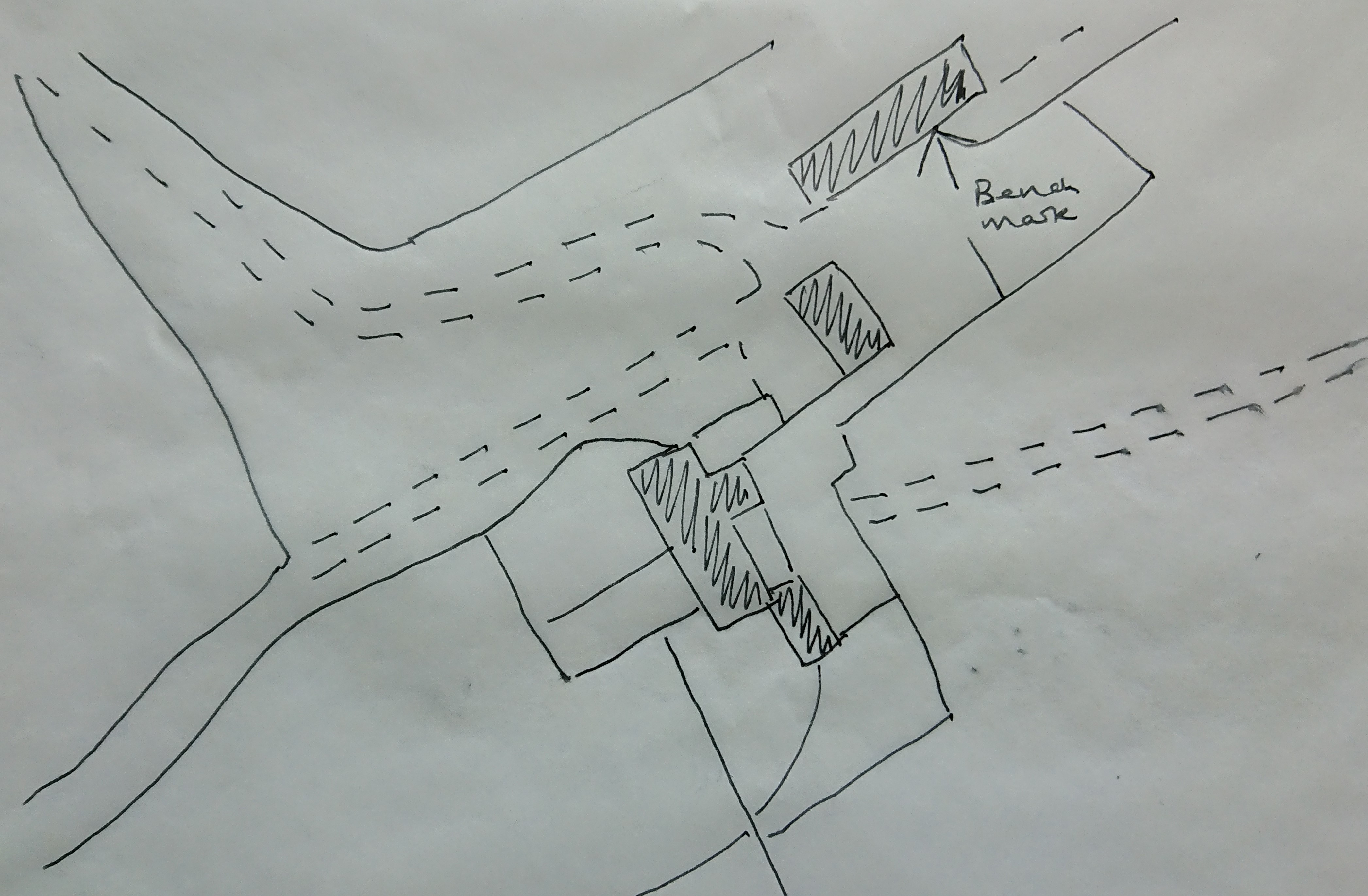
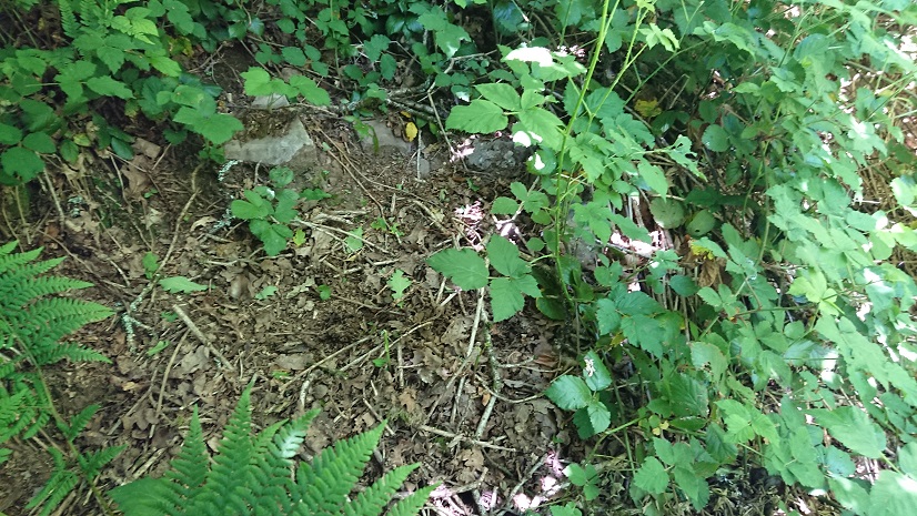
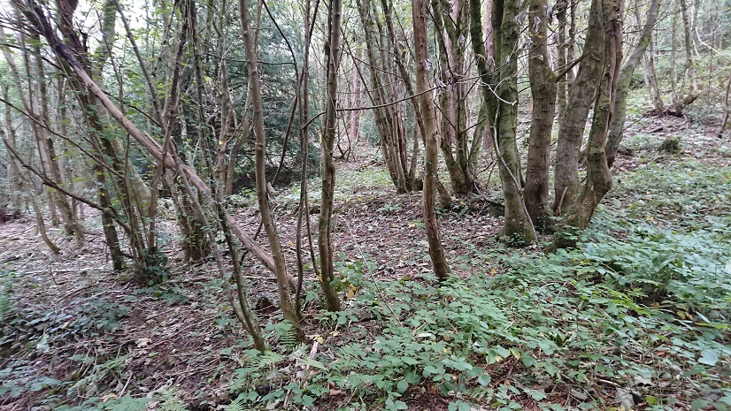
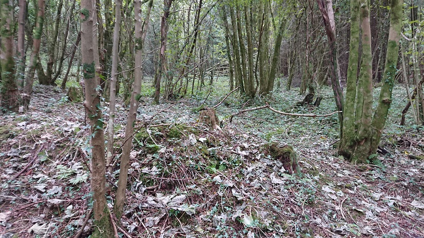
But persevere and just to the north of the track you spot this
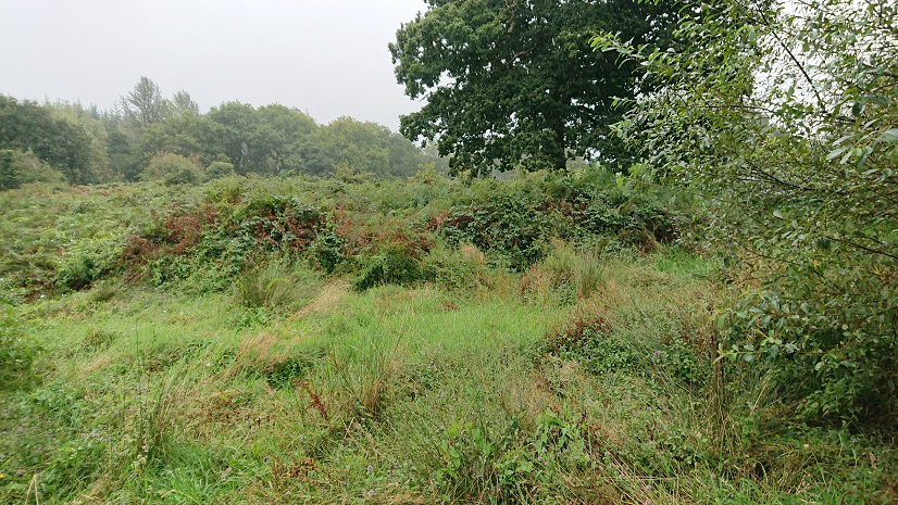
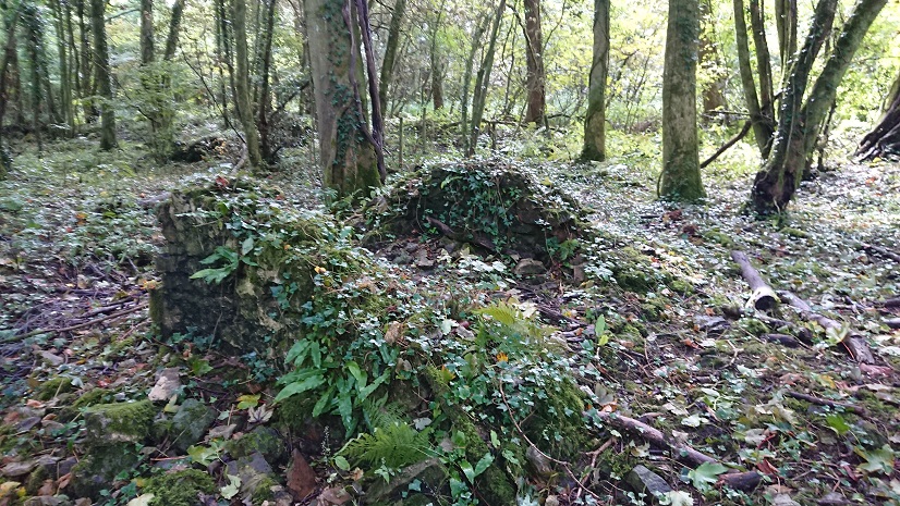
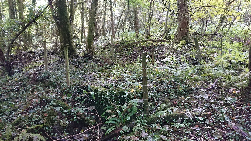
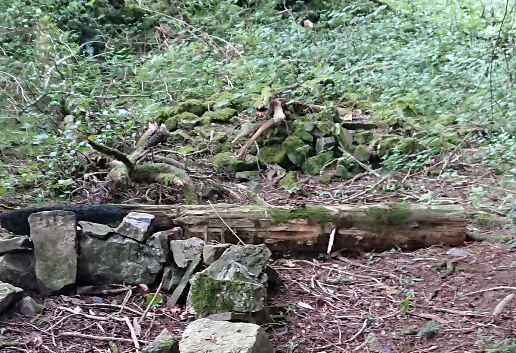
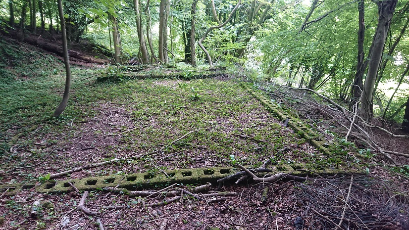
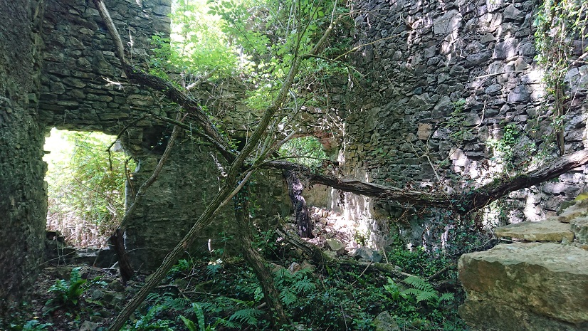
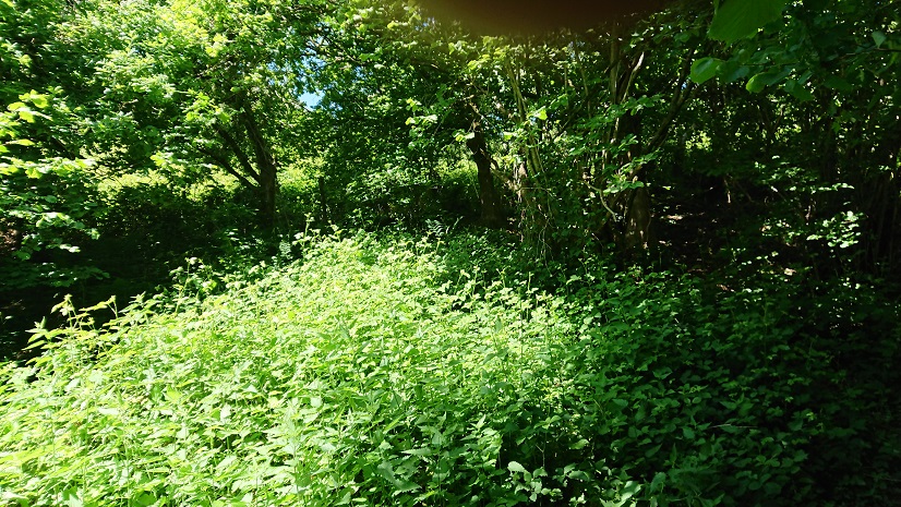
the south-west angle of the farmyard (no. 1 on the plan).
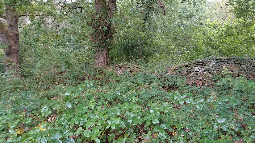
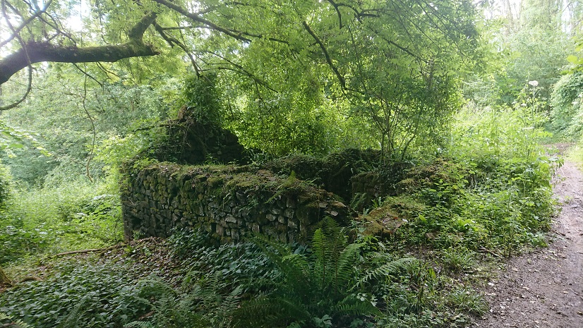
And you can just see the line of the wall going north (2 on the plan)
and the return (3 on the plan).
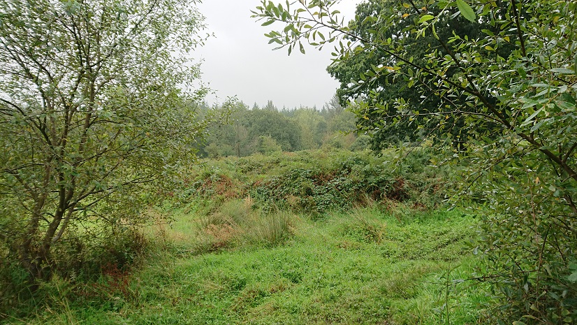
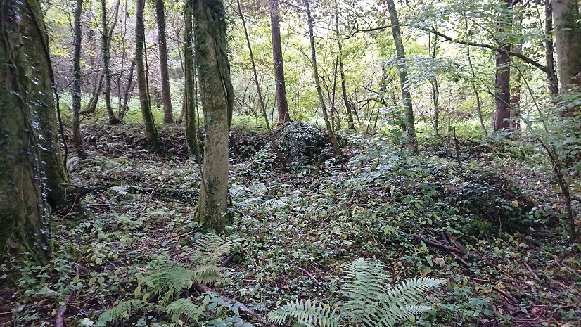
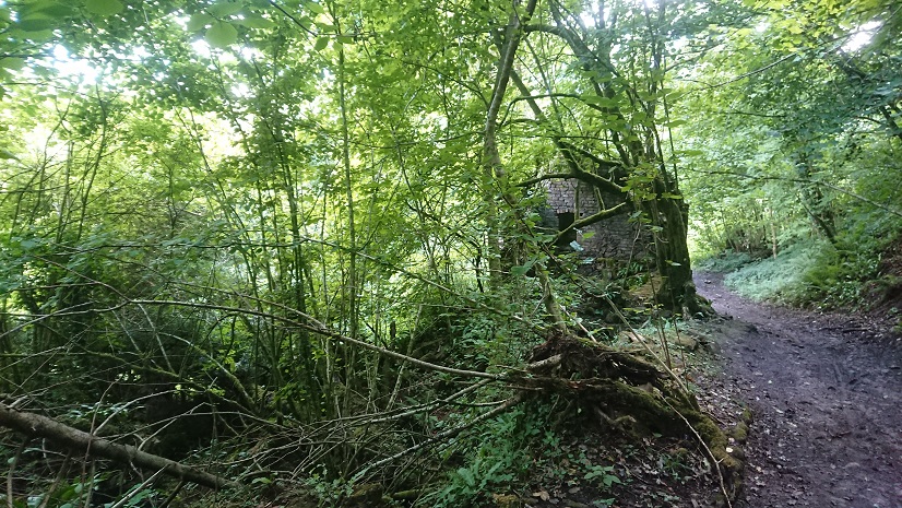
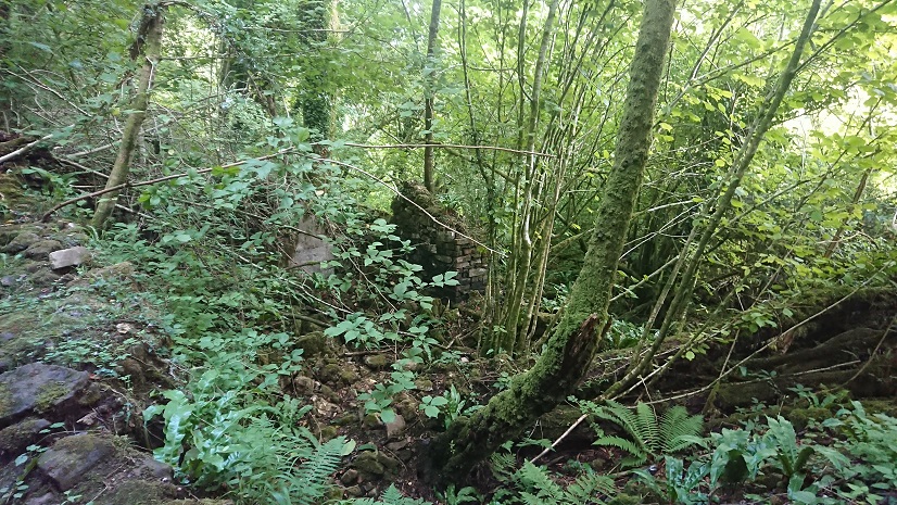
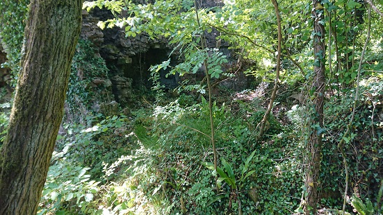
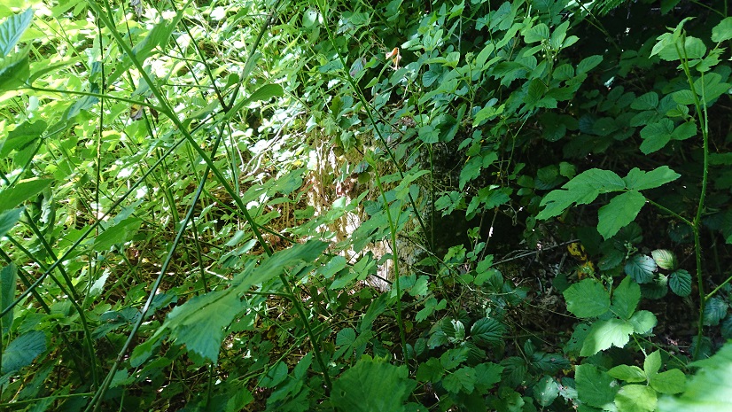
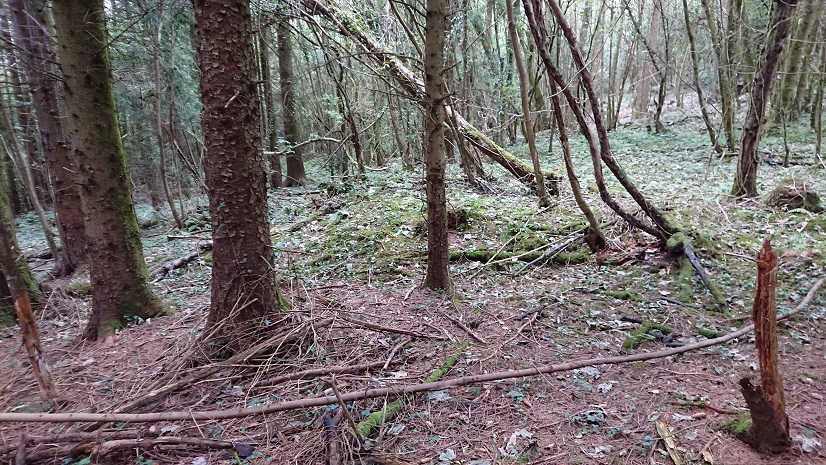
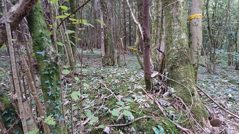
The eastern wall of the farmyard is quite clear (4 on the plan)
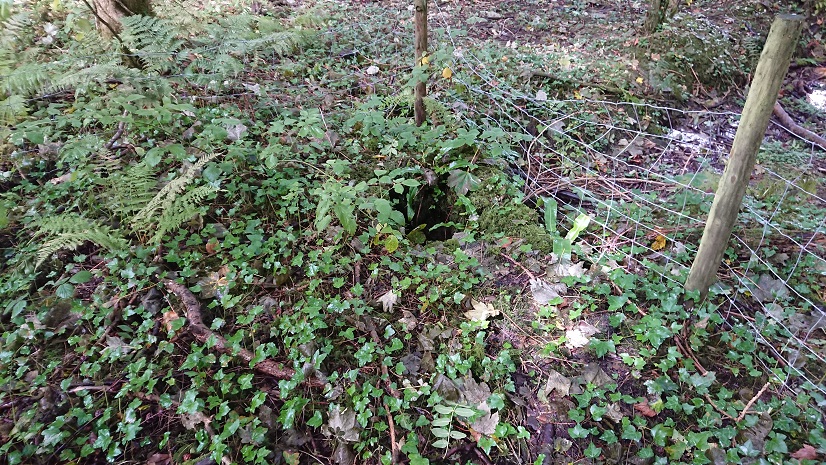
the north-east corner (5 on the plan)
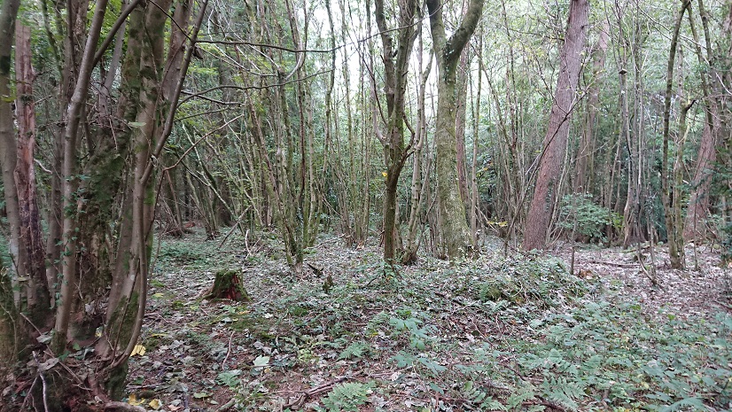
and the return (6 on the plan).
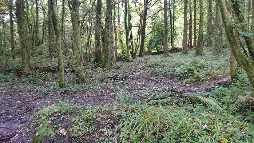
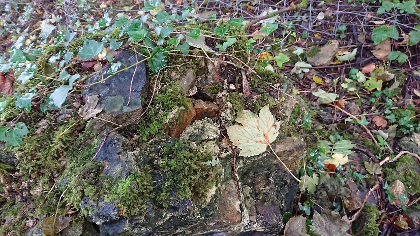
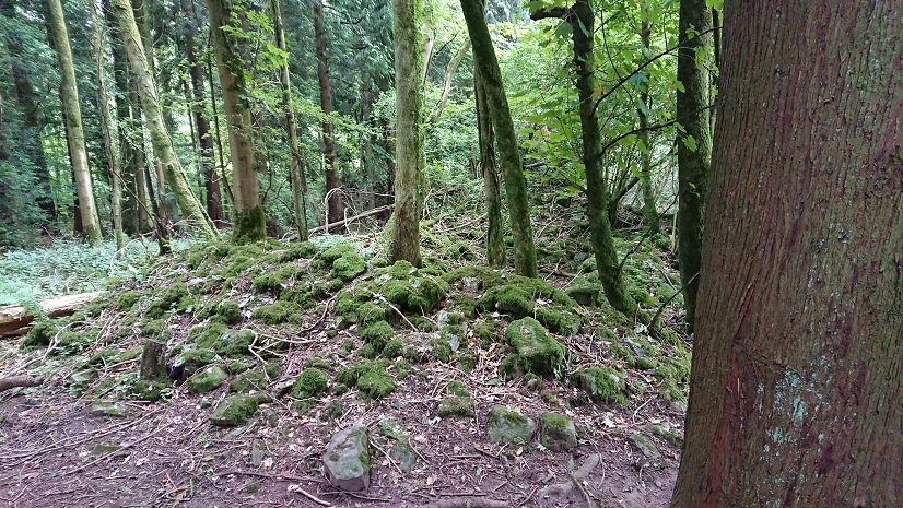
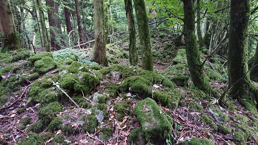
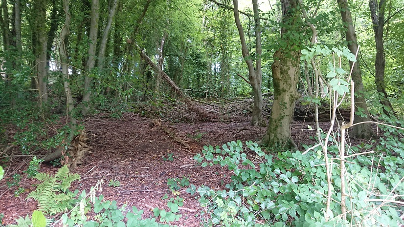
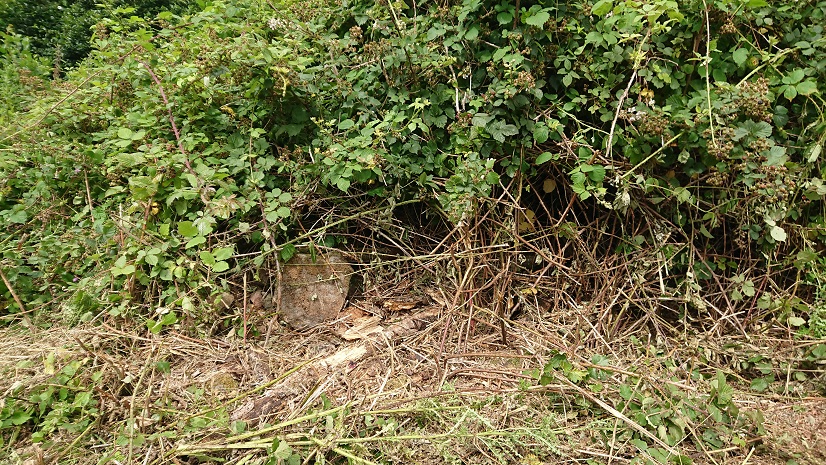
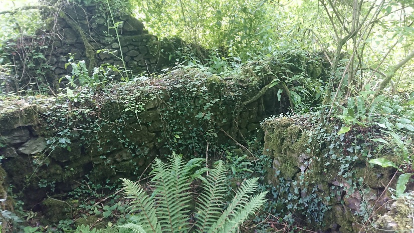
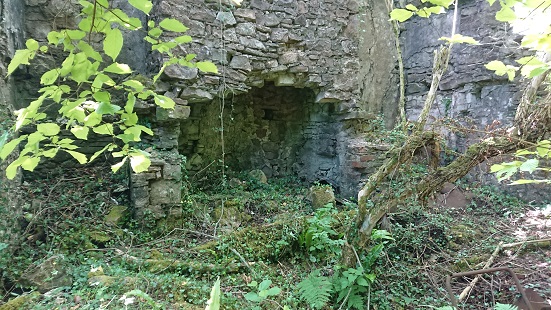
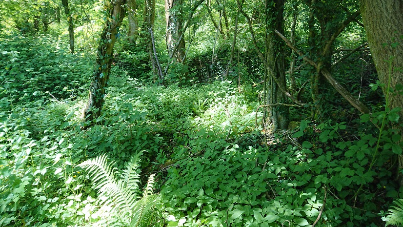
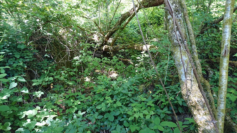
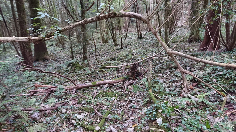
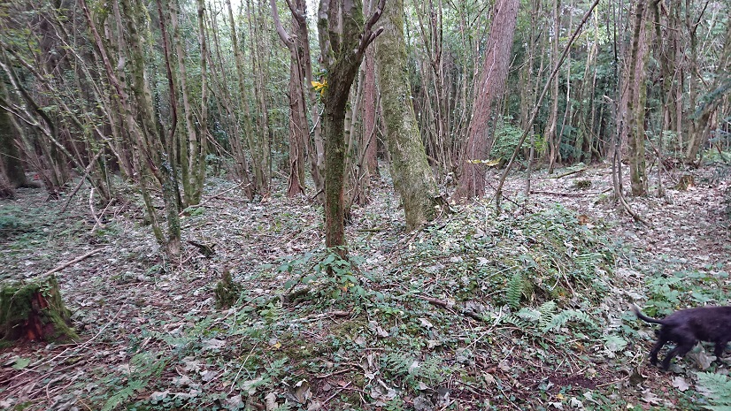
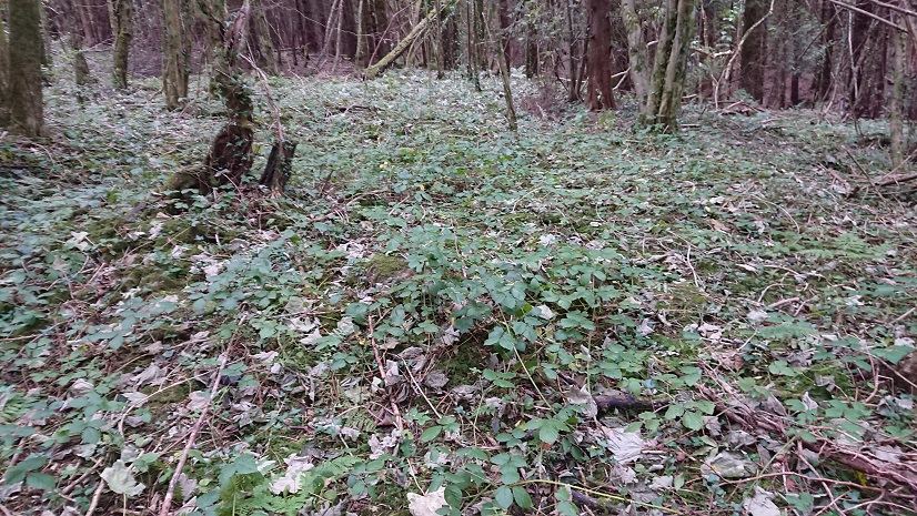
The farmhouse is just heaps of tumbled stone (the shaded area on the plan).
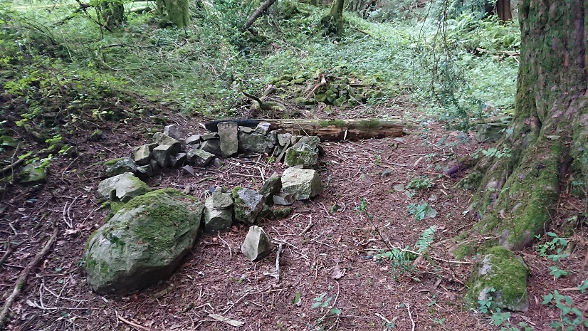
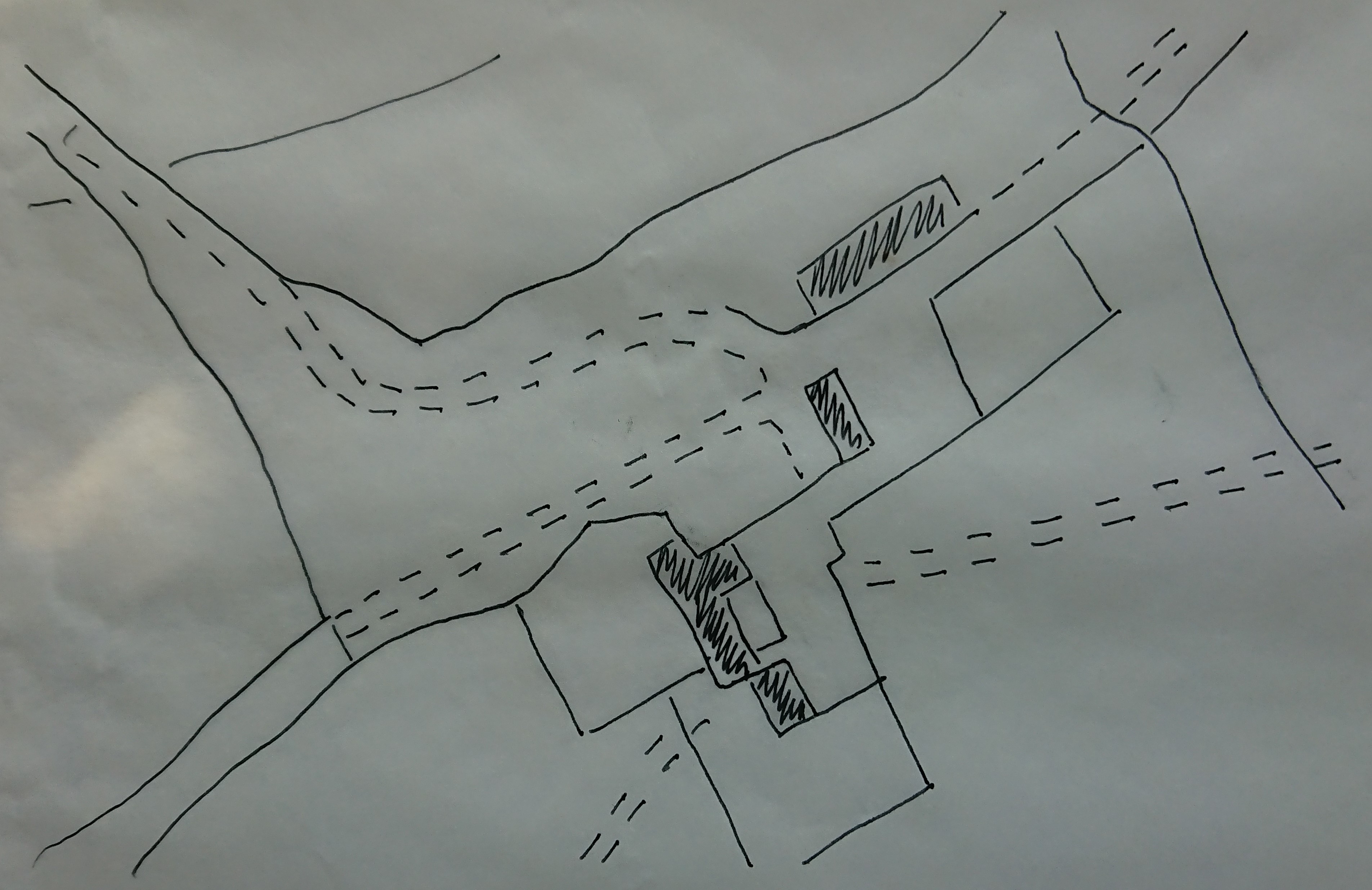
Having walked all round it several times, I’m pretty convinced that this is the site of the farm. The problem is that it is at about ST 16229 85809, 40-50 m east of where the farm is marked on the tithe plan. The 1841 plan puts the farm virtually on the bank of a little stream running north out of the woods. The remains I have found are some way to the east.
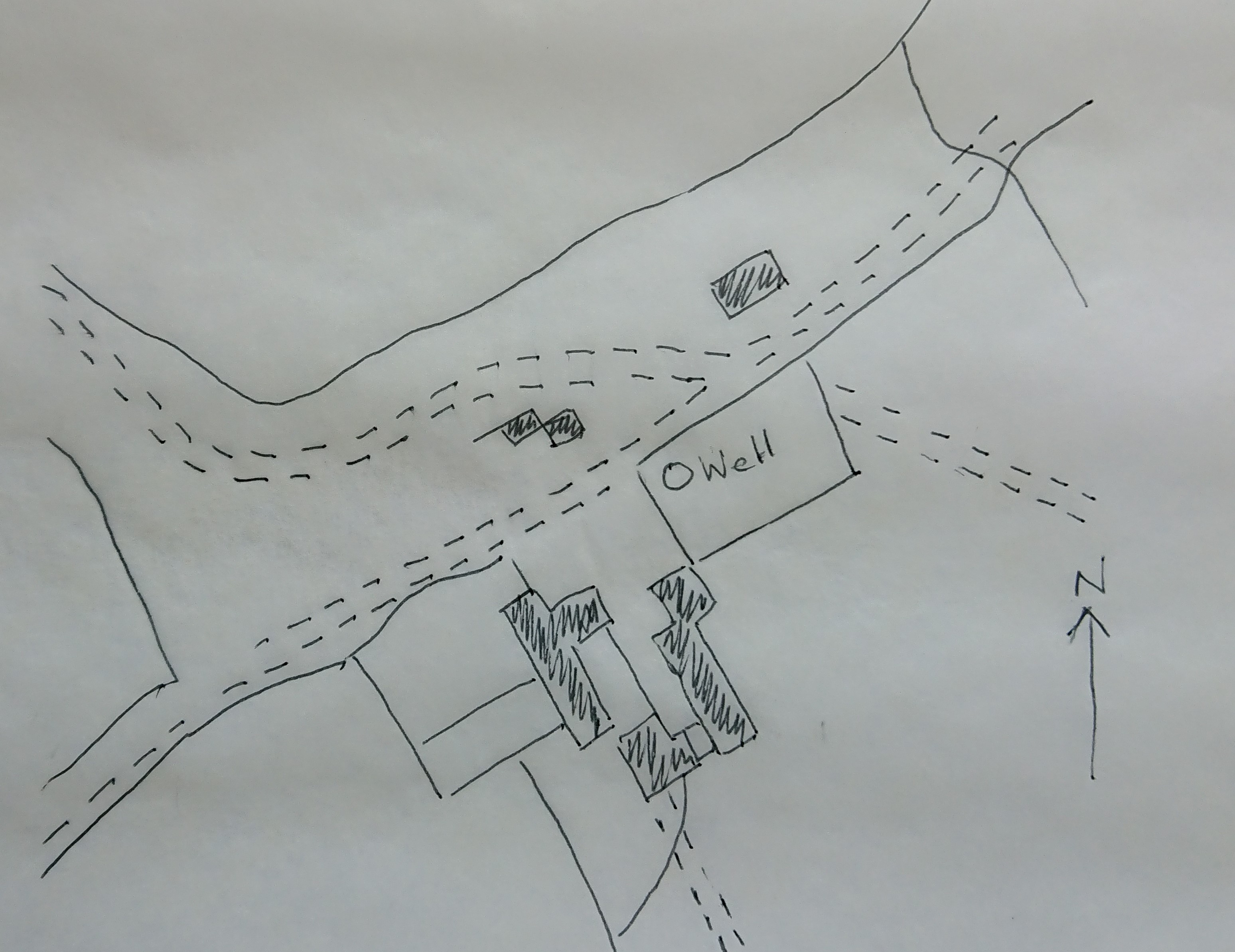
However – looking at the 6” OS map (this is a sketch based on it)
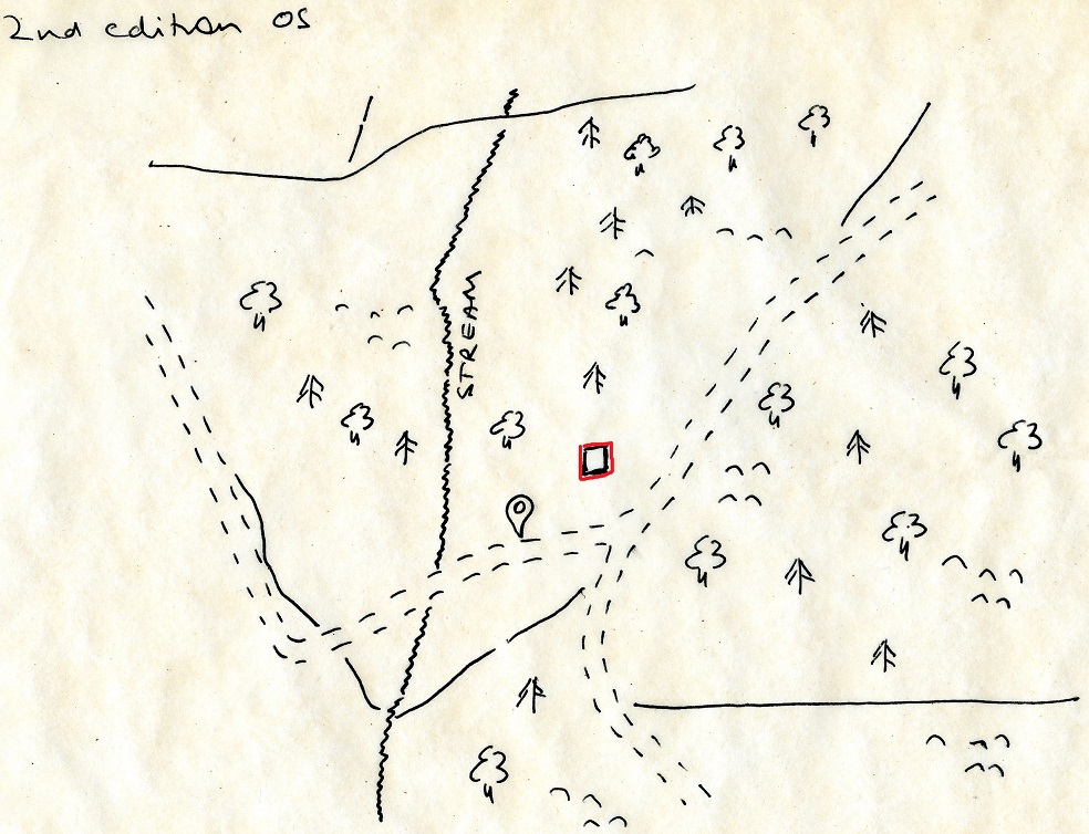
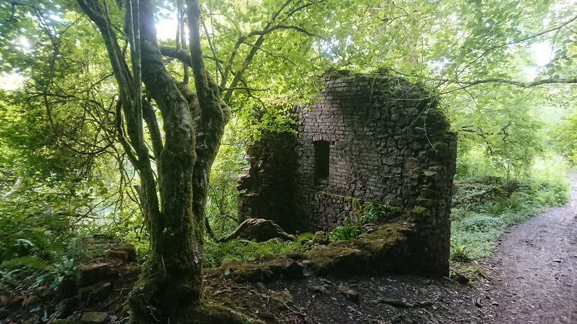
The pin marker shows the eastern end of the farmstead according to the tithe plan overlay (I’m working between the tithe plan and 2nd edition OS on places.library.wales and the 2nd edition OS and modern OS on https://historicplacenames.rcahmw.gov.uk/ – there doesn’t seem to be a single site that does the lot, and none of them uses the 1:25,000 OS Leisure map, which is the really useful one). But on the OS map there is a small square building a little to the east (outlined in red on the sketch plan). Is this the real location of the Warren – and is the little square building all that was left of it, used as some sort of shelter, perhaps, for workmen in the plantation?
The name Warren is interesting. Warrens were preserves for rabbits, at a time when rabbits were useful but very fragile little creatures and the perquisites of lords and gentry. They came from southern Europe and took a long time to adapt to the colder and wetter climate of England and Wales. Special raised burrows called pillow mounds were built for them, and they were cared for by warreners. Our farm could have started as the warrener’s home.
There is no documentary evidence for a warren on Caerphilly Mountain. However, the big field to the west of the Warren farm (519 on the tithe plan) is actually called the Warren, and the field in which the farmstead sits is called Warren Fawr. The fields north-west of Warren farm are part of Ty’n-y-cae and are all called Cae pen y warren on the tithe apportionment. This really does look indicative.
What we can’t tell, in the absence of any documentation, is how old the warren was and who it belonged to. If it was medieval, it belonged to Caerphilly Castle. However, warrens were still being constructed in the sixteenth and seventeenth centuries, so it could have belonged to the Lewis family of the Van, the big house across the valley, before they moved to St Fagans.
John Owen’s comments on the post on Treboeth are very illuminating. Treboeth was there in the later middle ages, and wood from there went to repair a bridge in Caerphilly Castle in 1428. If the Warren really was a warrener’s house, these two little ruins, hidden under the trees, are some of our earliest evidence for the farming landscape east of Caerphilly.