Reeves and dunghills

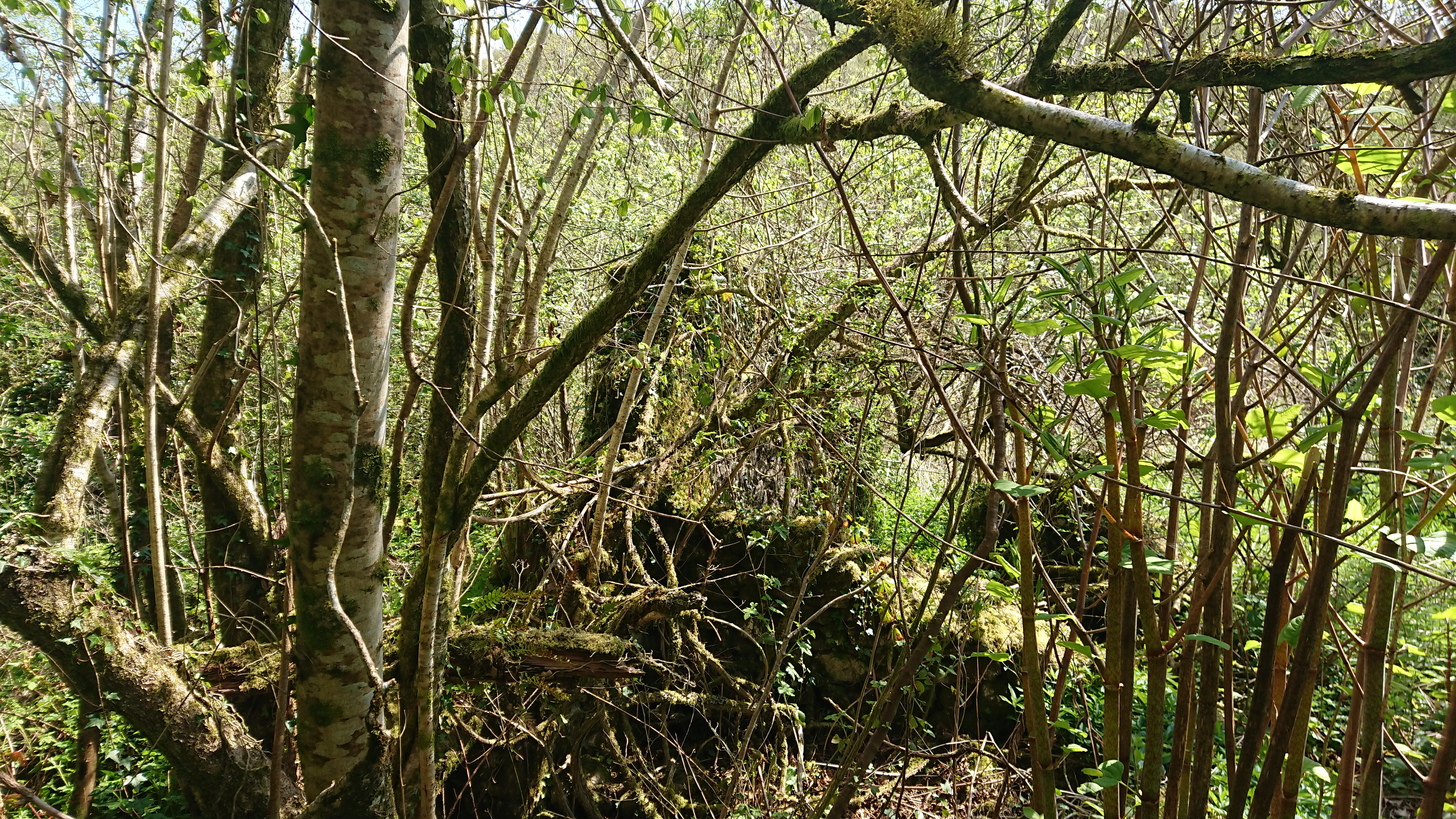
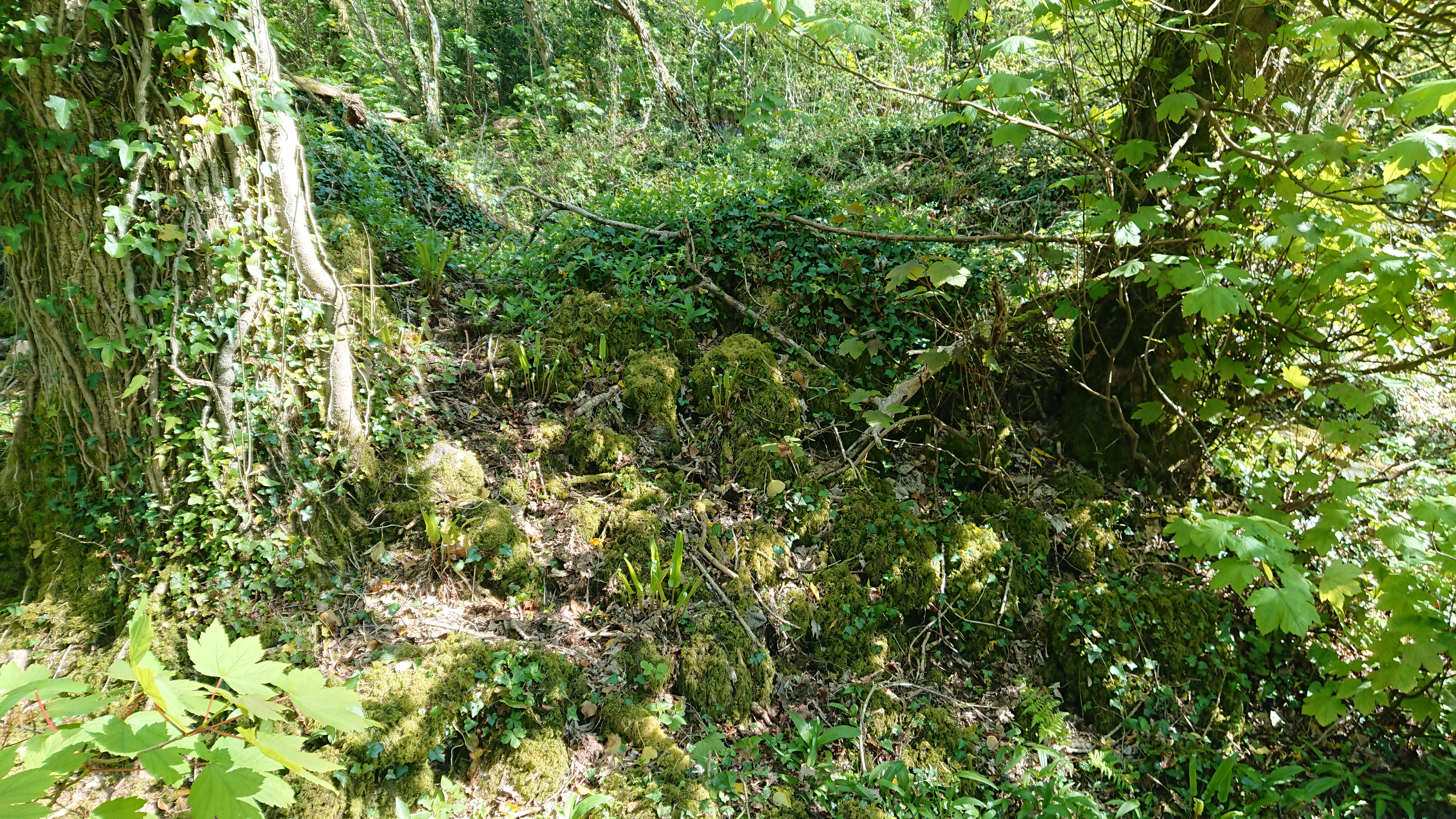
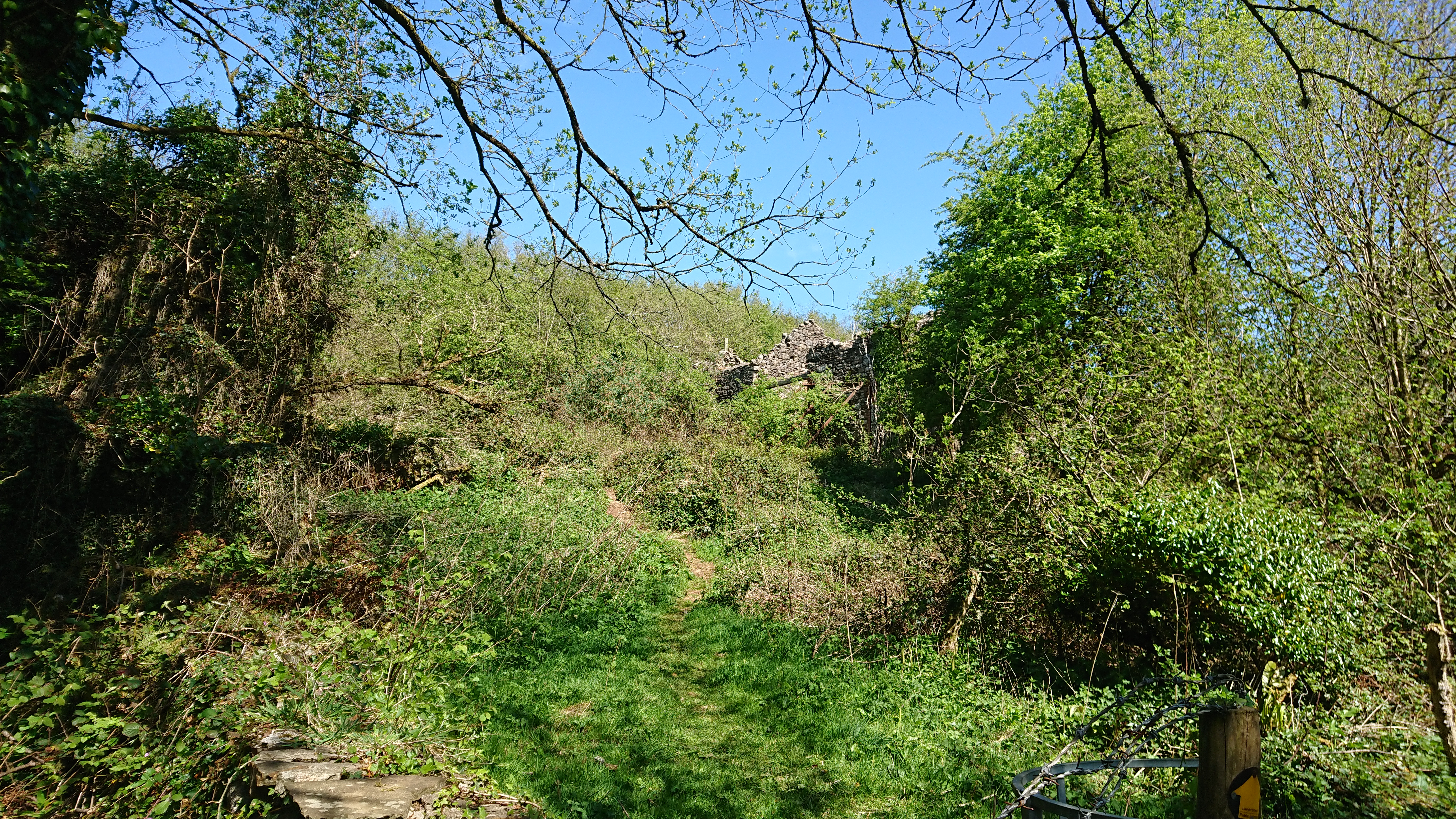
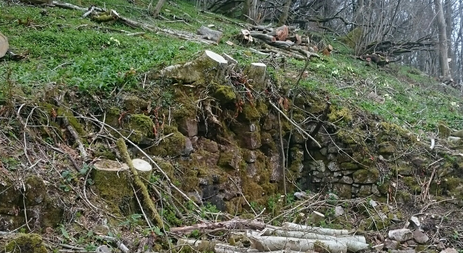
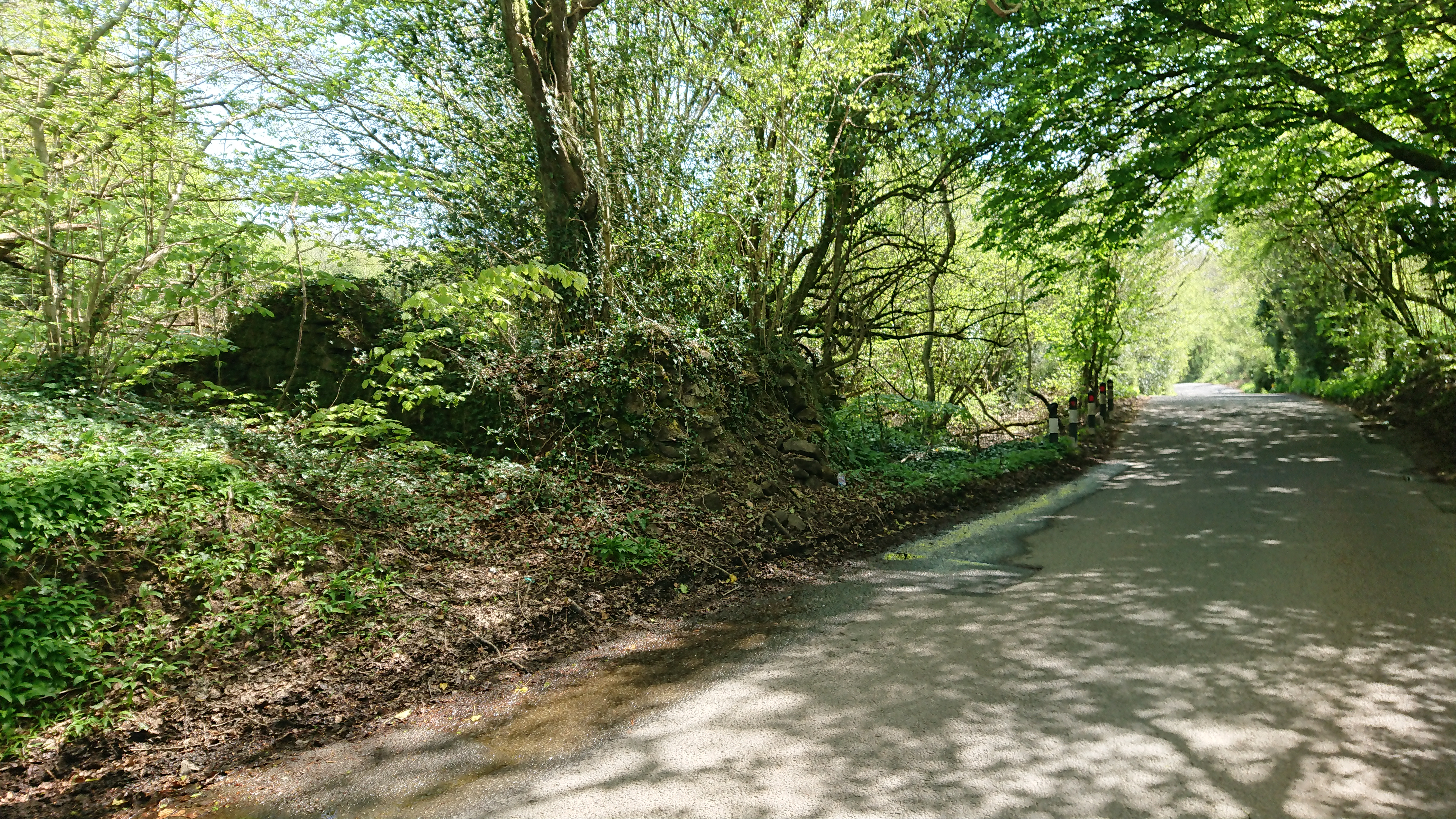
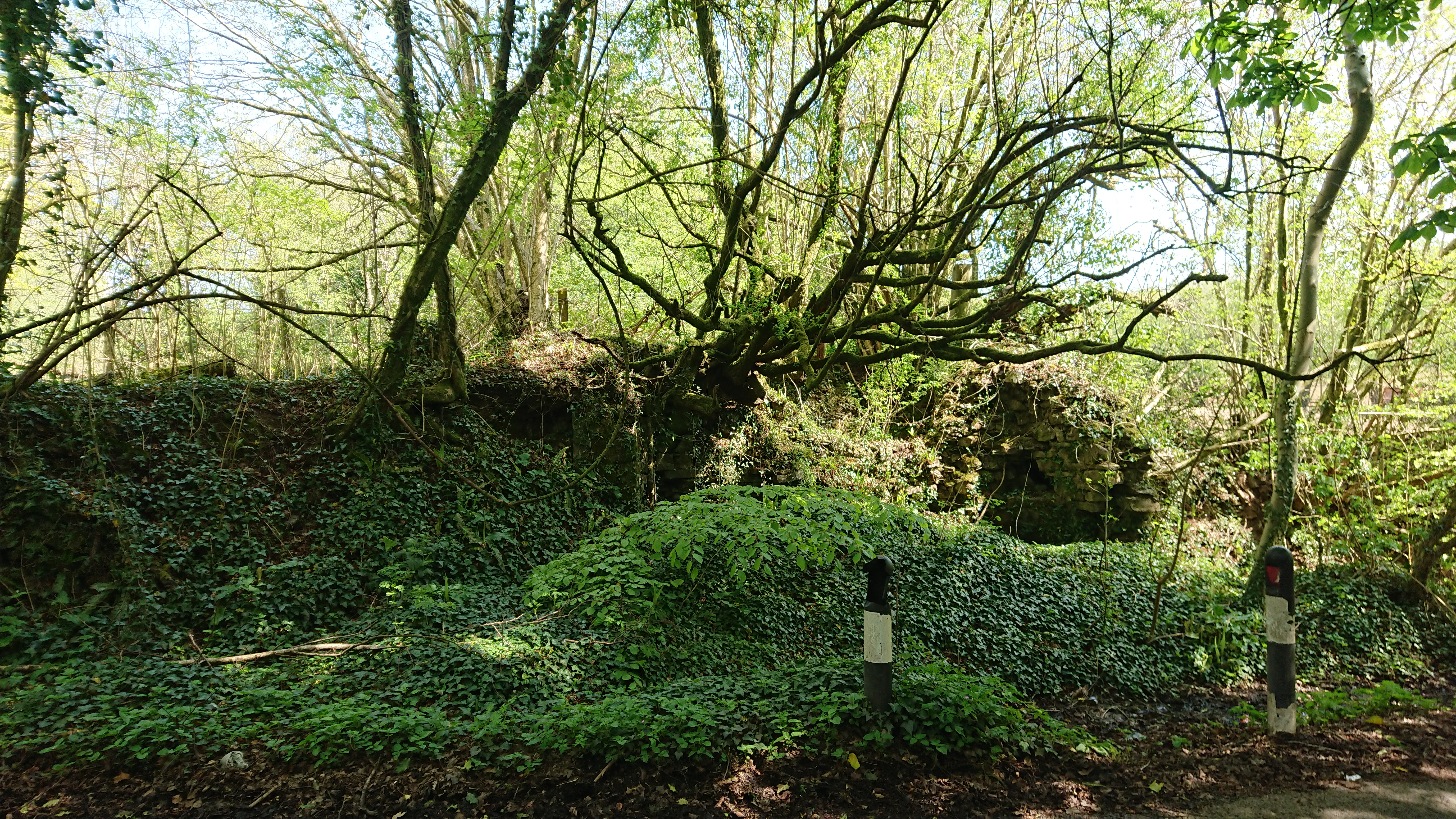
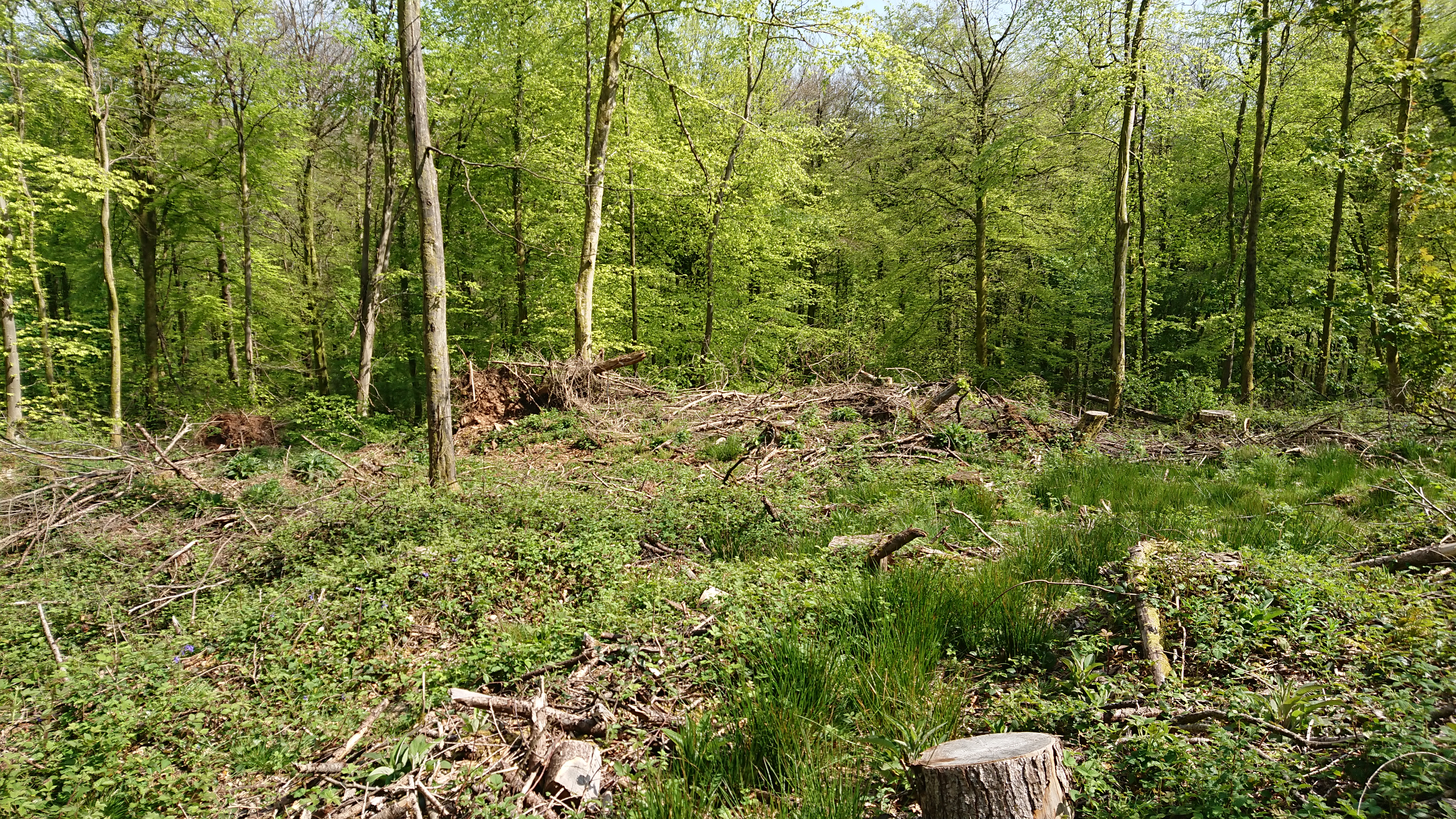
This is real hardcore lost farmsteads – this

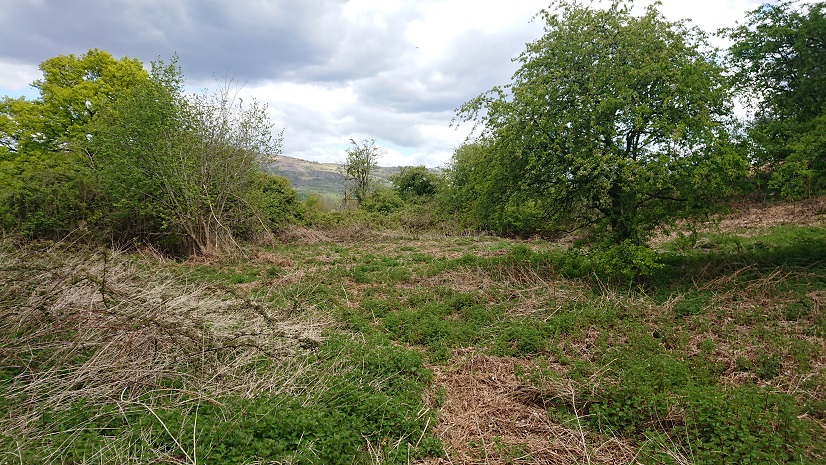
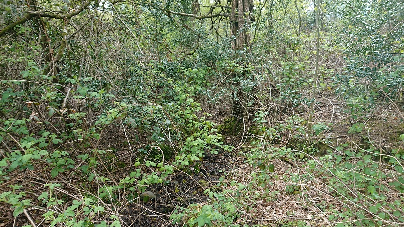
is all that is left of a farm called Maerdy. It appears on the tithe plan as Mardy Du, and in 1840 it was being farmed along with a larger farm, Gwern y Domen. It belonged to the Plymouth estate and the tenant was an Edmund Morgan (I think he has cropped up elsewhere – was he sub-letting?). It’s on the 1900 OS map as Maerdy cottages, so it seems to have gone down in the world, and it’s possible that the outbuilding marked on the tithe plan has become a cottage. There is still something marked on the 1:25.000 OS map at ST 17007 87450 but it’s hard to locate on the ground. The track down from Gwern-y-domen Farm to the railway line doesn’t follow the line of the right of way, the woods have expanded since the aerial photo was taken … but this is my best guess.


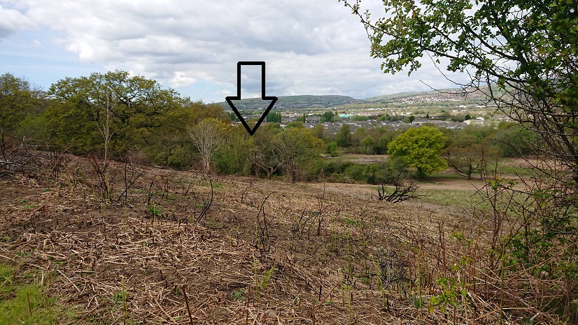
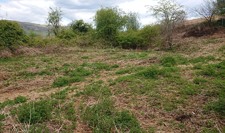
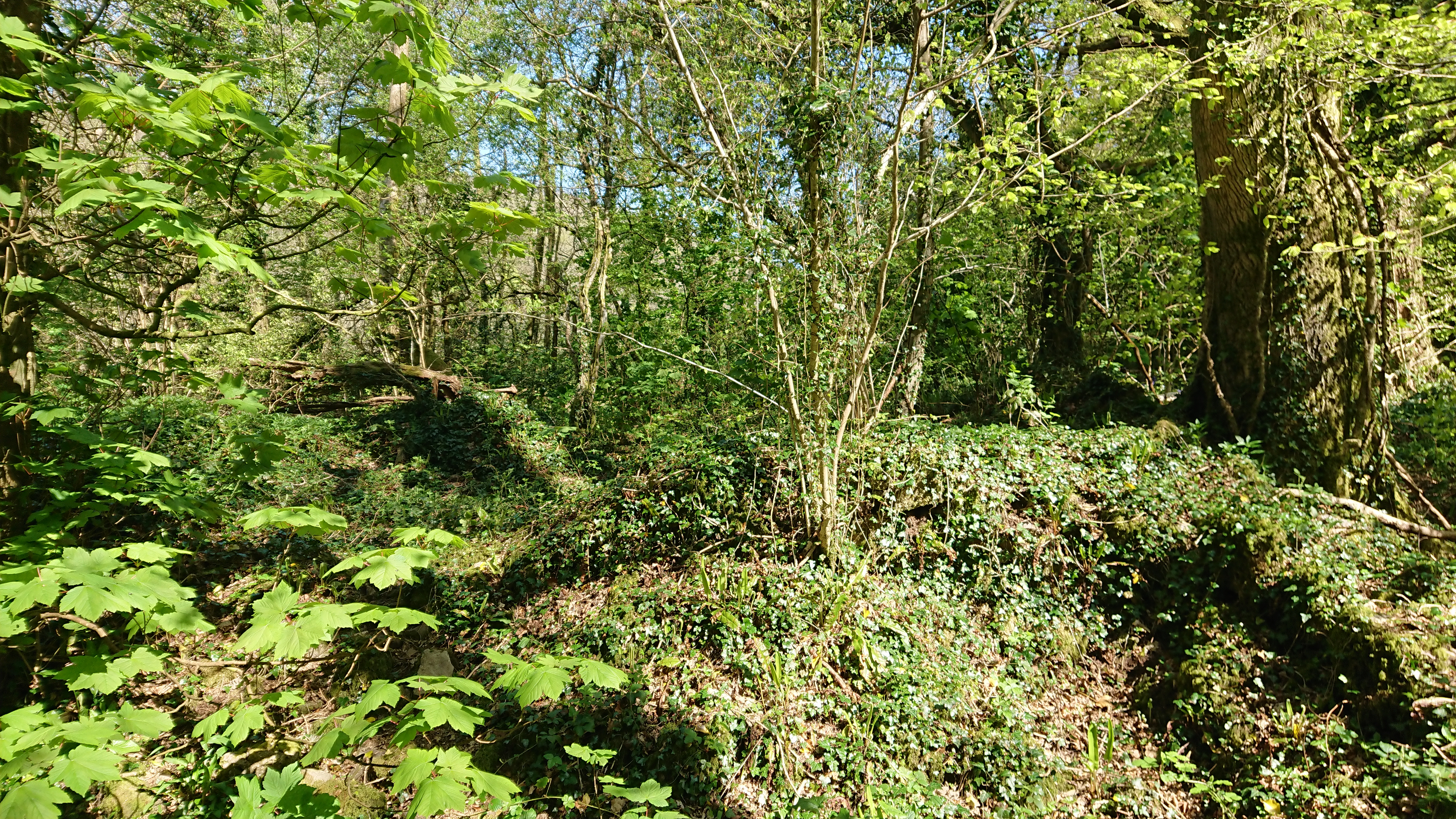
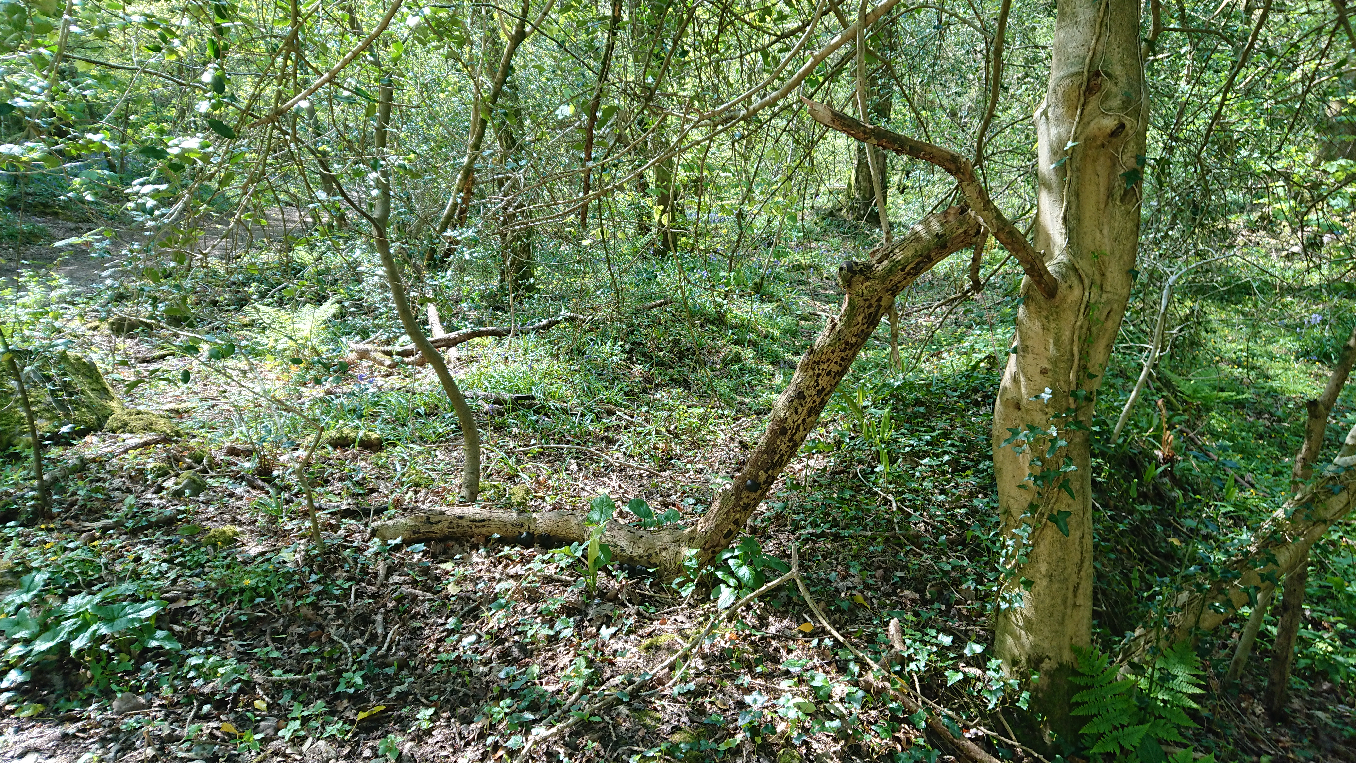
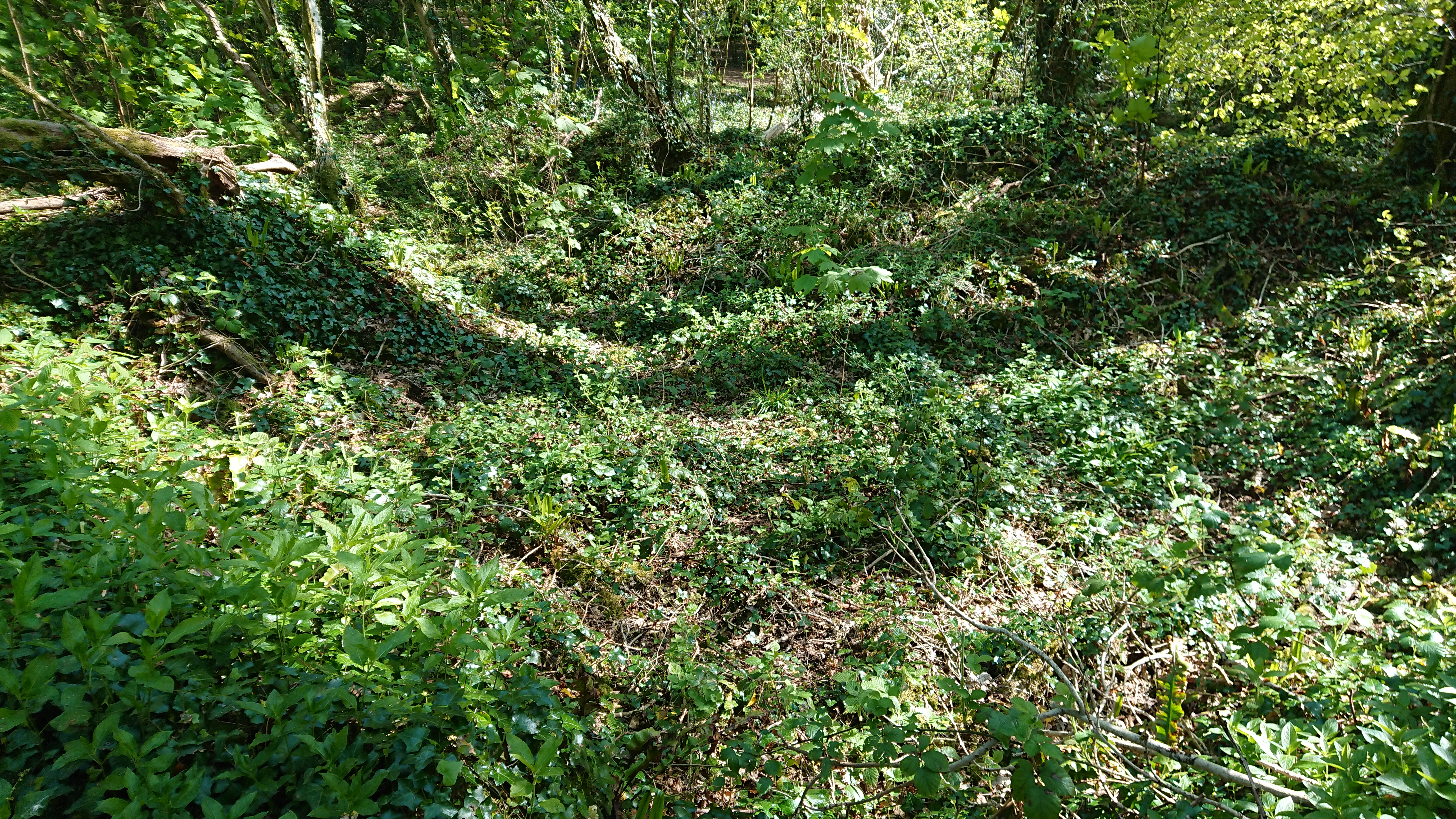
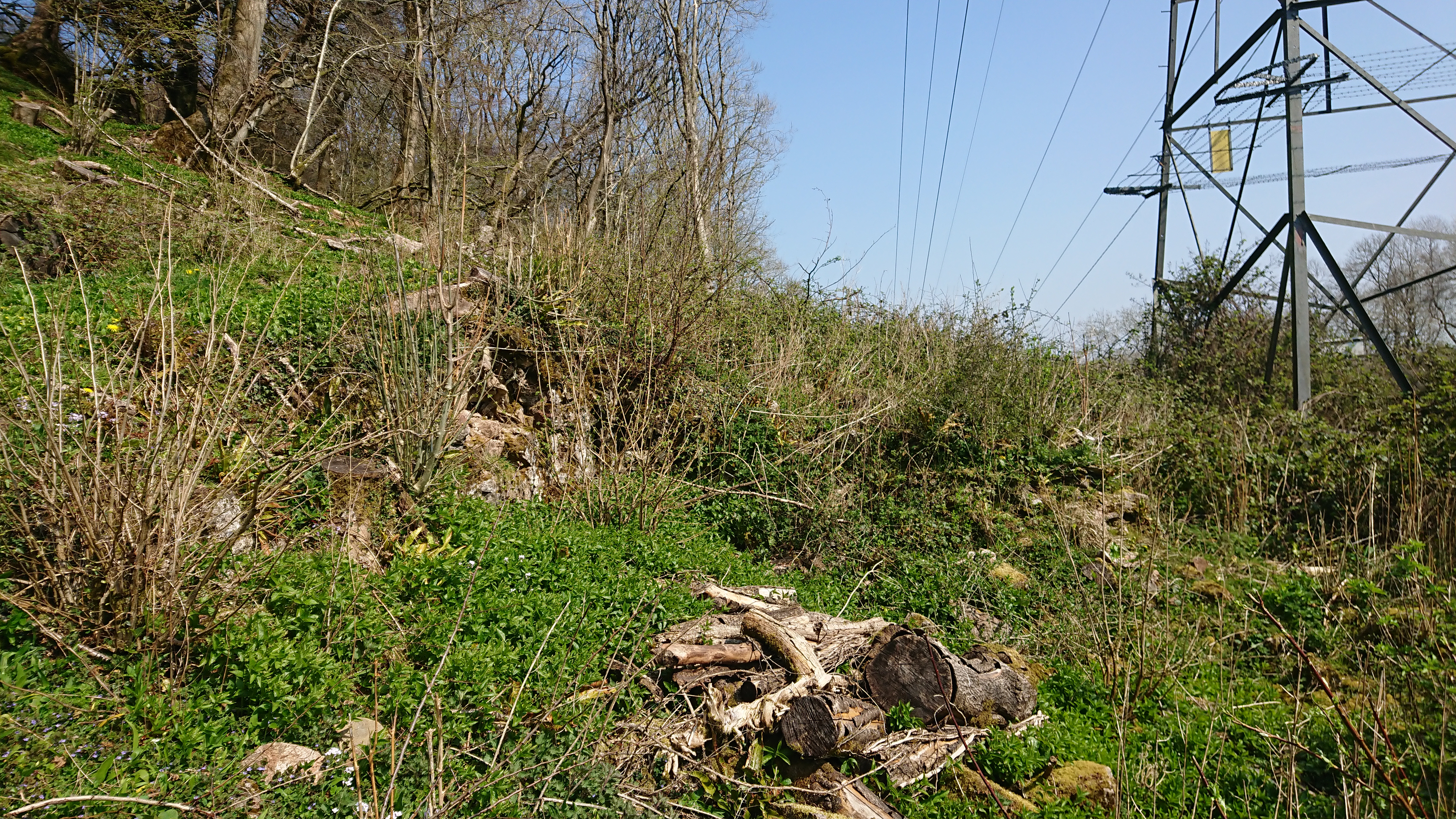
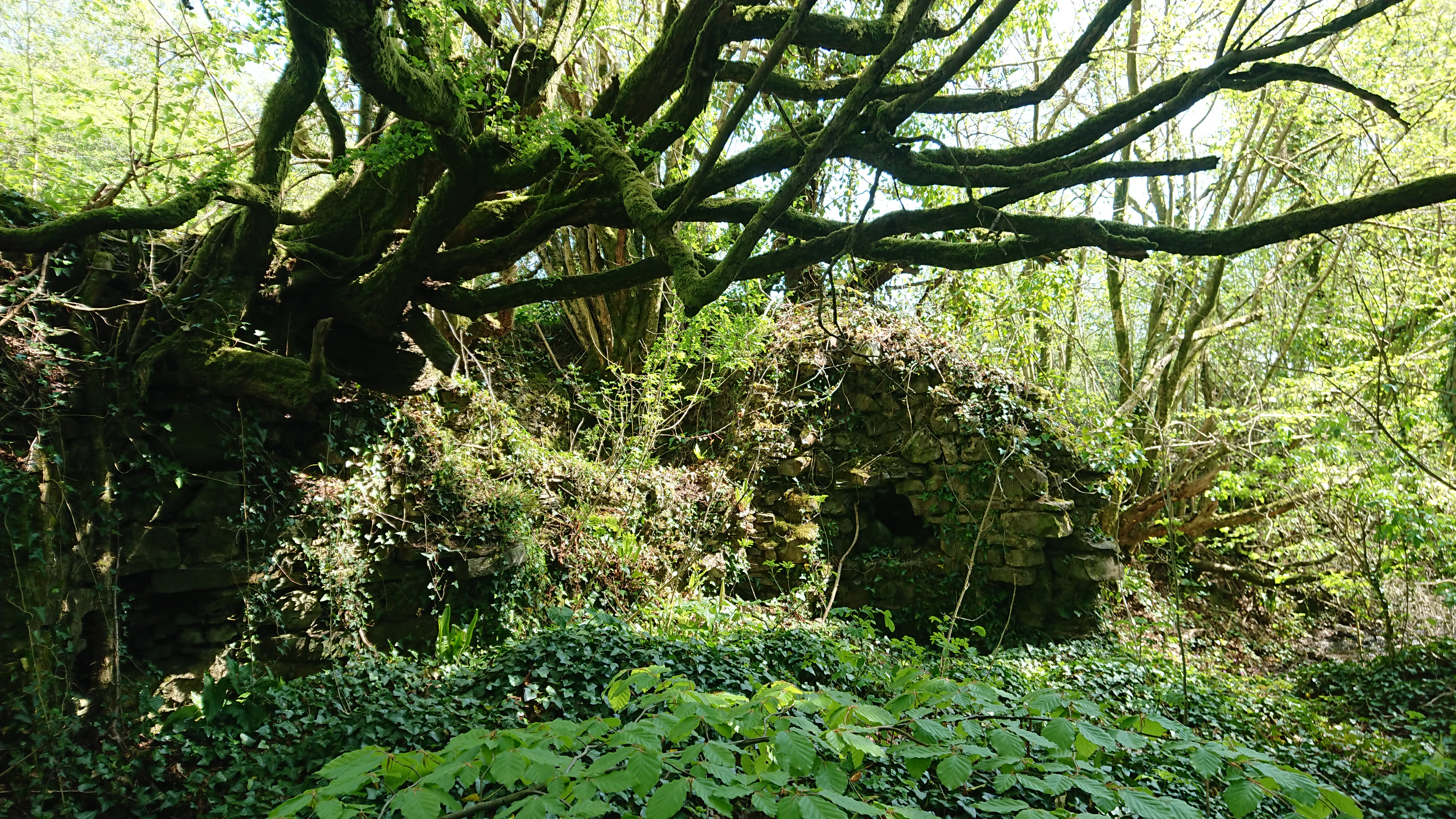
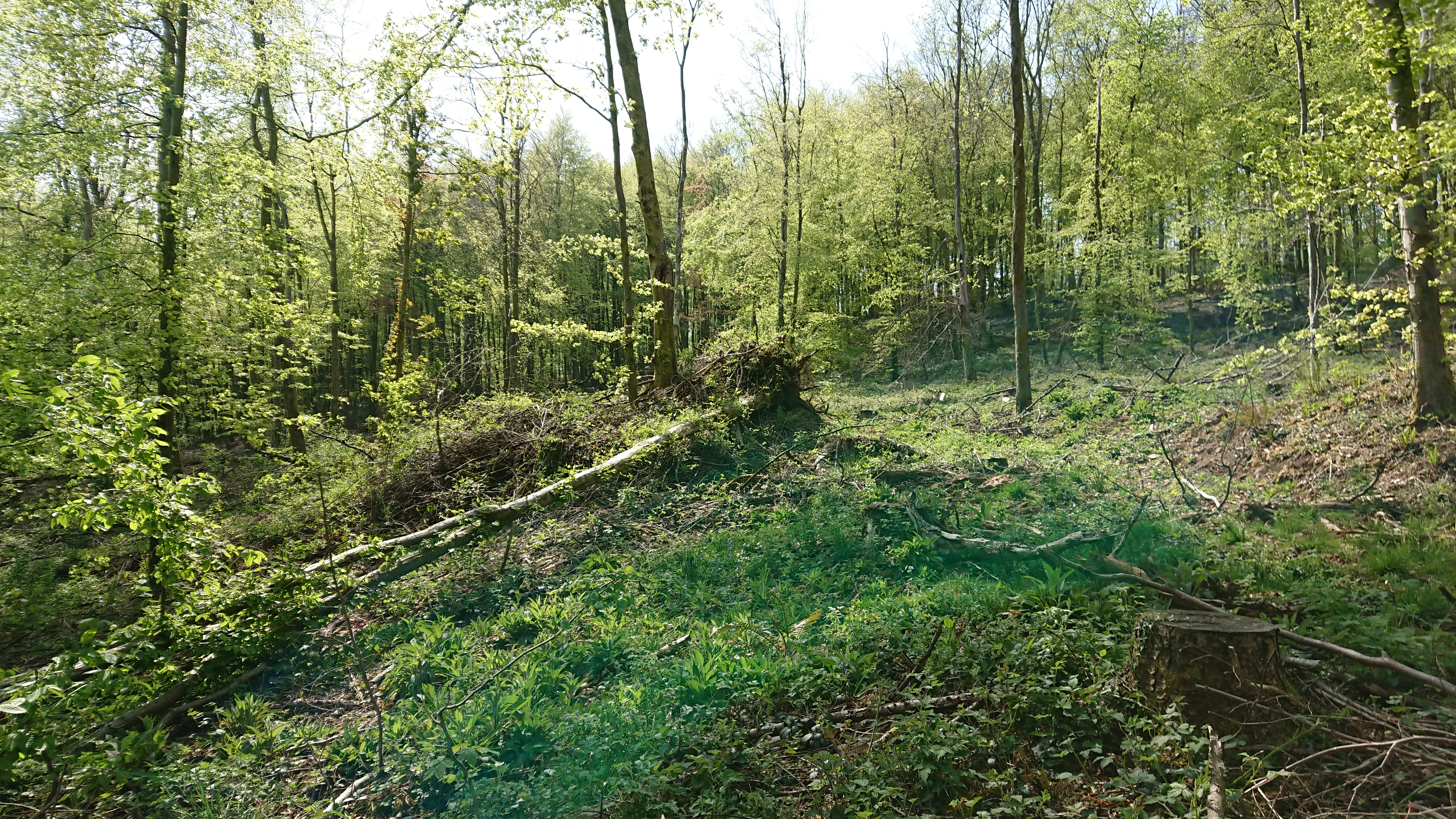
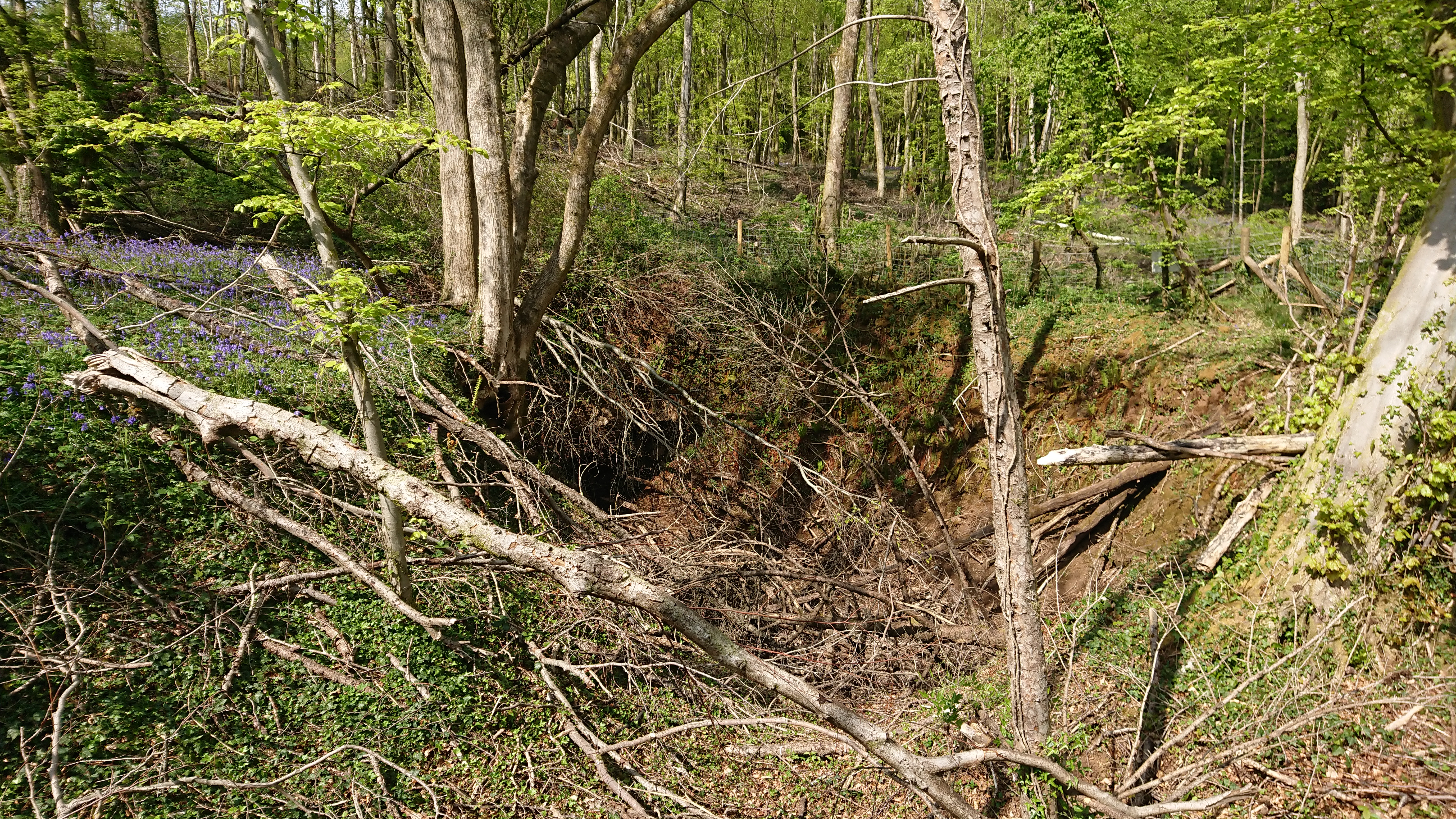
We tried to find the well, which is a little further up the slope. The stream clearly flows from it


but the brambles defeated even Nell.


This is all a pity, as Maerdy would have been one of the most important farms in the area in the middle ages. Under Welsh law, the maer was the royal official in each commote, responsible for cultivating the king’s land and supervising the serfs (somewhat like a reeve in England). He also presided over the local court. As the Norman marcher lords took over from local Welsh rulers, they took over the organizational structure of the commotes, so the office of maer continued into the later medieval period.

But there was another maer in each commote, the maer y biswail (literally the dung-reeve) who was responsible for the lord’s cattle and could have day-to-day responsibility for farming as well. In The Welsh King and his Court, Glanville Jones pointed out that most places called maerdy were actually the homes of dung-reeves. So our farm may have been the home of a practical farm supervisor rather than a court official.

In a comment on my blog post on Parc y Fan at https://www.heritagetortoise.co.uk/2020/09/parc-y-fan/, John Owen suggested that the name might indicate the home farm for the centre of a multiple estate, possibly based on a building near the site of the Van Mansion. The various surveys of the De Clare estates mention Rudry, Hendrenny and Castell Coch as separate units, possibly manors? This he thinks may be the frozen remains of a multiple estate. Multiple estates were large land holdings organized so that they included all the necessary resources – good arable land, meadow, pasture, woodland, marsh land, rough mountain etc.

Or is there some connection with Gwern y Domen? The actual tomen is a castle mound a little to the north-east of Maerdy, with its bailey cut across by the disused railway line. Could this have been the local stronghold with Maerdy as the administrative headquarters? The problem is that we have little or no documentation and the archaeology has been messed up by industrial development and later housing.

But we do still have records of farms like Maerdy, Parc y Fan, Treboeth and the Warren to enable us to start reconstructing the old farming landscape.

Lost farms, lost settlements

To distract us during the lockdown, while we can’t do much in the way of fieldwork, we’ve been having a discussion on Twitter on the mapping and listing of deserted settlements. @DrFrancisYoung asked if anyone had ever done an atlas of all England’s deserted villages – so I said ‘and the Welsh ones’. It was suggested that Wales needed a separate volume – fair enough, there are differences, different settlement patterns, much more dispersed settlement, hamlets rather than villages. Also the perennial problems of funding and getting it noticed. Then @A_N_Coward rather proved my point by pointing out that our online resource Coflein ‘has site types for ‘deserted settlement’ and ‘deserted rural settlement’ with about 400 sites between them (although there’s probably some overlap) and a nice distribution across Wales. Many have pics (mostly aerial photos): https://coflein.gov.uk/en/site/search/result?PCLASSSUB=97280&SEARCH_MODE=COMPLEX_SEARCH&view=map https://coflein.gov.uk/en/site/search/result?PCLASSSUB=500312&SEARCH_MODE=COMPLEX_SEARCH&view=map

so actually we seem to have done it. Mind you, there’s some debate about what constitutes a settlement – how many cottages?

Meanwhile, my walks with my neighbour’s dog had taken me over towards the Wenallt, just north of Cardiff, and the little valley of the Nant Cwmnofydd: and at about grid ref ST 14702 83939 what should I find but what looked like the ruins of a row of cottages.

And in the Wenallt woods themselves, at about ST 14959 83860, another farm or group of cottages.


I wondered on Twitter how old they were, what the people who lived in them did for a living, and when the Record Office would be open again.

@DrIestynJones  pointed me in the direction of http://geoarch.co.uk/reports/1999-06%20Wenallt520slags.pdf which is a report on some early ironworking slag and other remains further down the Cwmnofydd. I don’t think the cottages were that old – but where there was medieval ironworking there may have been post-medieval working as well.


Several people pointed me to online maps, including @MusicNLW  who led me to the National Library of Wales’s amazing Places of Wales site https://places.library.wales/ . You need a place name to get in but once you are there you can scroll around, look at the 1840 (ish) tithe plans, an old OS map (2nd edition, I think, early C20) and the modern map (Google not OS, alas, so not brilliant for anything off road). Then you can pull up data from the tithe surveys – field names, crops, tenants and owners. It can be tricky tying up early C20 trackways with modern rights of way but it’s doable.

A bit of work on that suggested that my first batch of photos was not a row of cottages but a whole little farm, Cwmnofydd (about grid ref ST 14702 83939). It was there on the early C20 map and presumably occupied – one wonders when it was deserted and how it became so completely derelict. There are other lost farms in the area – Cefncarnau Fawr, up on the ridge to the north, around ST 15053 84409, was a big farm complex with a massive barn and other outbuildings

but that too is completely lost.

I still can’t identify the site on the other side of the stream at around ST 14959 83860. It doesn’t seem to be marked on the 1840 map so it may have been deserted and in ruins by then.

Walking a bit further with Nell the spaniel got me to the other side of the main road over Caerphilly Mountain and along the lane to the Heol Hir. Here the trees were cleared a couple of years ago and you could see the foundations of another little farm at ST 16943 84871 (easier to see just after the trees were cleared)

– here it is now

I found this one on the 1840 plan – I thought in the original posting that it was Bwlch-y-Gelli but it’s actually Bwlch-y-Llechfaen so I’ve corrected it (a bit difficult to identify as we were on the edge of 2 plans and they didn’t quite match up). That too was still there in the early C20 but it’s now just a little bit of tumbled stone under the brambles.

It’s often surprising how quickly a building can degenerate into a ruin. This is Penybryn Cottage, on the road between the Black Cock and Rhiwbina Hill at about ST 14293 84426.

.

My father-in-law remembered it in the 1930s or 1940s with a huge family living in it. Once the roof goes, the whole building goes.

Penybryn Cottage is on the map but I couldn’t find this one,

across the road and a bit further uphill. Quite a substantial building, with its own bread oven.

There are others that aren’t on the map. A traditional platform house near the top of Castell Coch woods, round about ST 14009 83746:

and some ‘structures’ around the iron-mining pits, a little further into the woods, round ST 13876 83545 (these grid references are a bit vague).

These might just be spoil heaps from the iron mines but this one looks rather rectangular. (It was actually easier to see before the trees were felled.) Probably not a house either, though – somethig to do with the iron mining? The whole area is pockmarked with diggings for haematite iron ore,

some of it probably 16th and 17th century.

When Natural Resources Wales were preparing to fell the conifers on this side of the forest because of the dreaded phytophthora ramorum, they said they had a detailed survey of things like the iron pits and possible charcoal burning platforms, something like a Lidar survey. I wonder if it’s ever going to be publicly available?


And I must remember that @AncientTorfaen  wanted to know what colour the mortars in the old houses were.