More lost farmsteads: Craig yr Allt

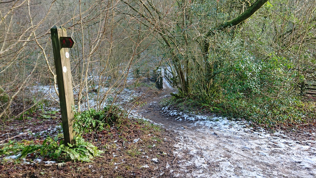
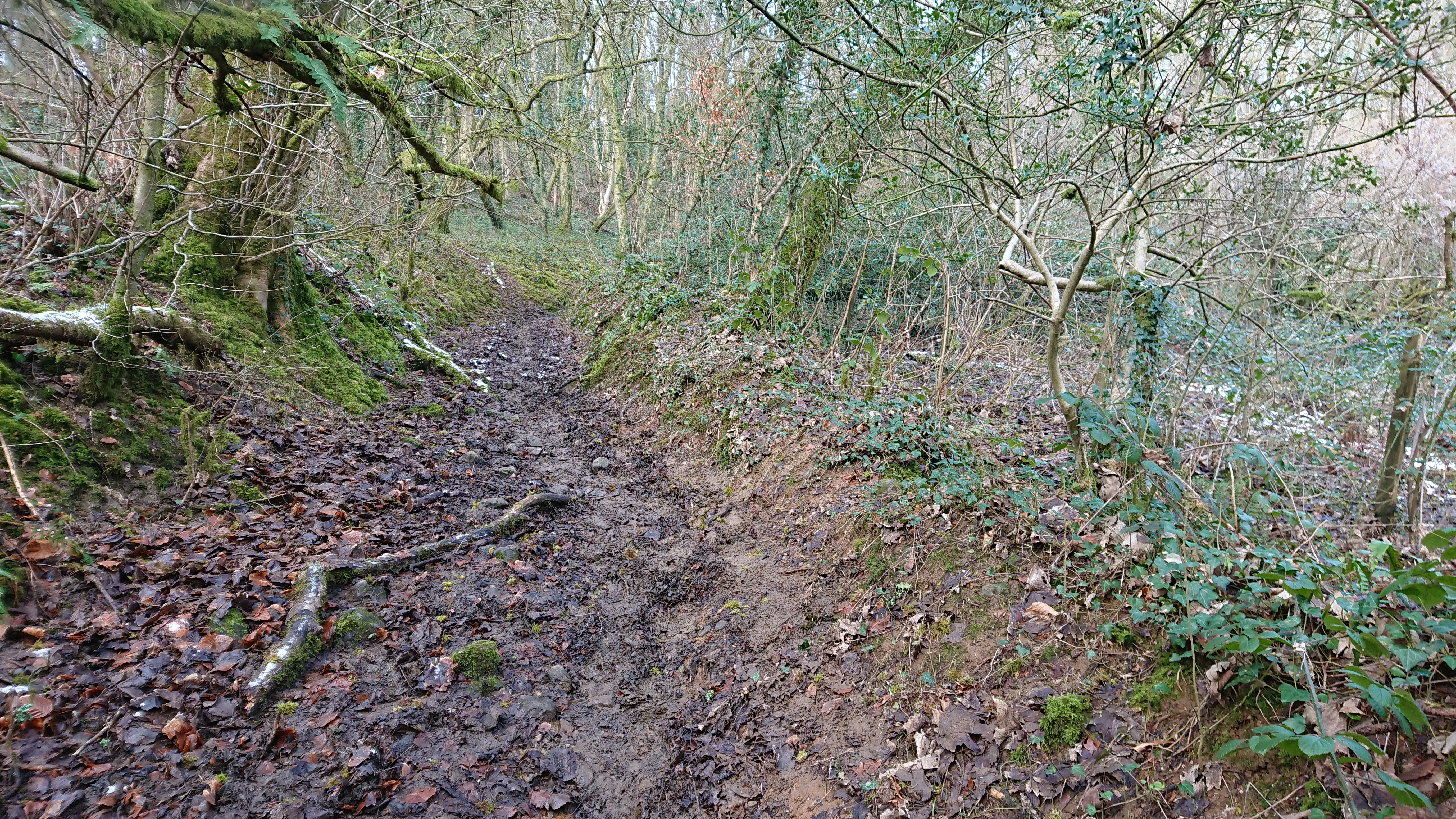
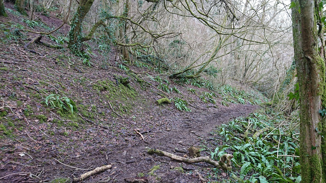
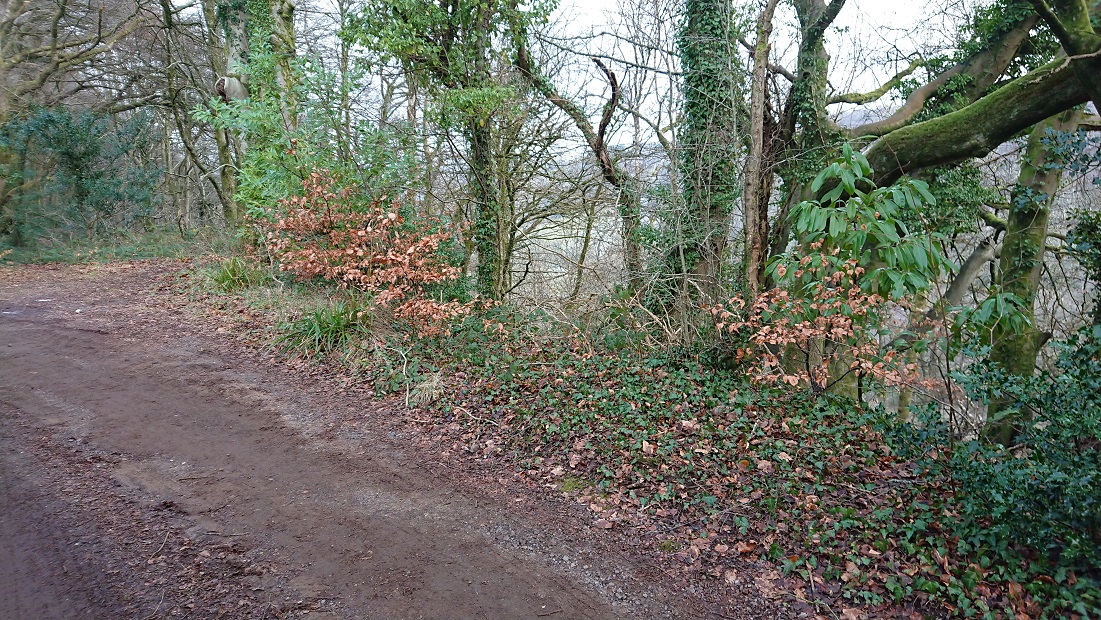
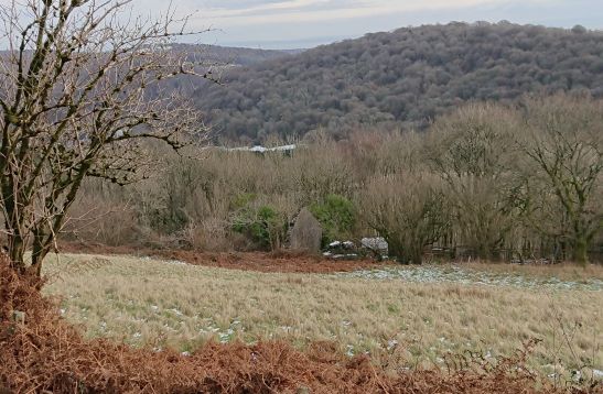
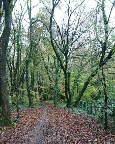
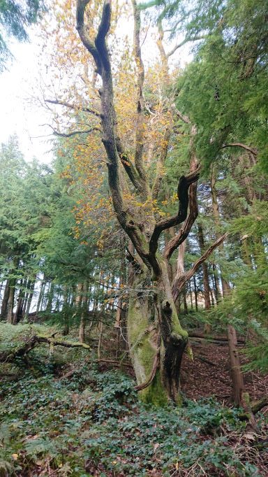
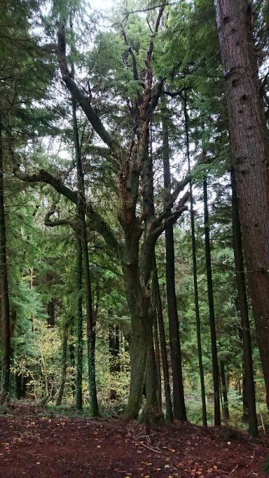
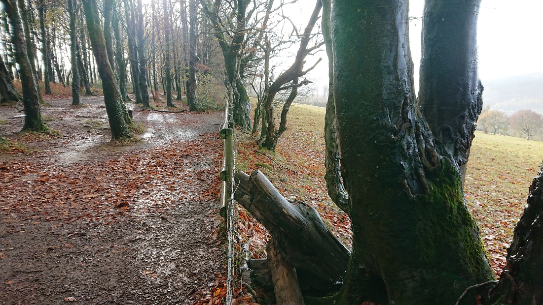
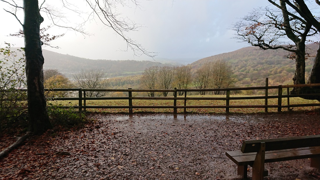
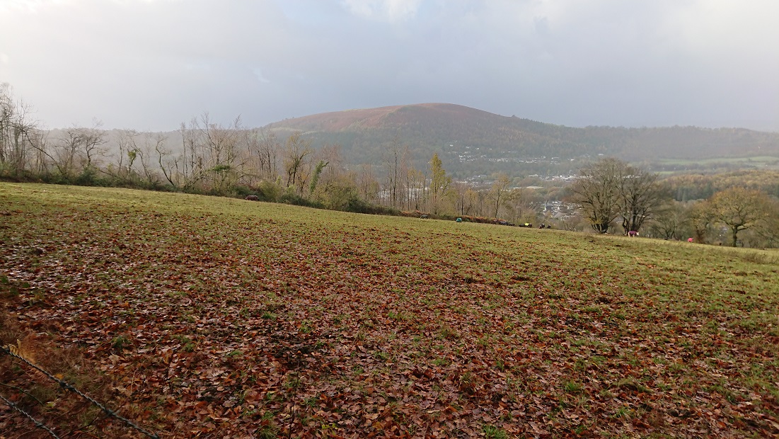
Now that Gwen the cockapoo puppy is a little older (and a little more ready to come back when called), we are doing longer walks. Today, we went up Craig yr Allt, and I was reminded that I never did look for details of this


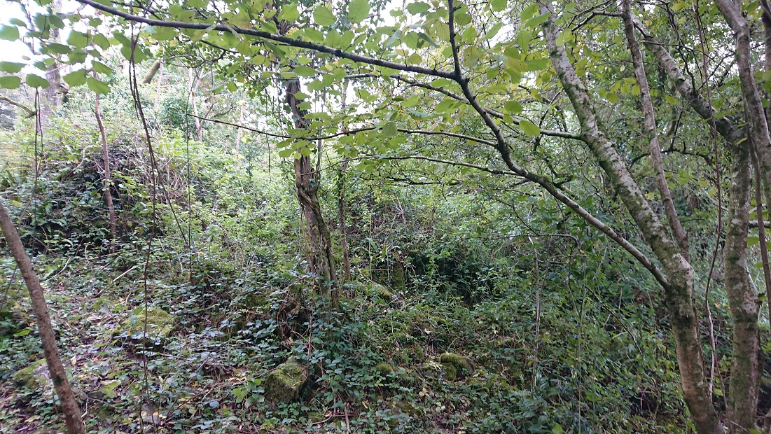
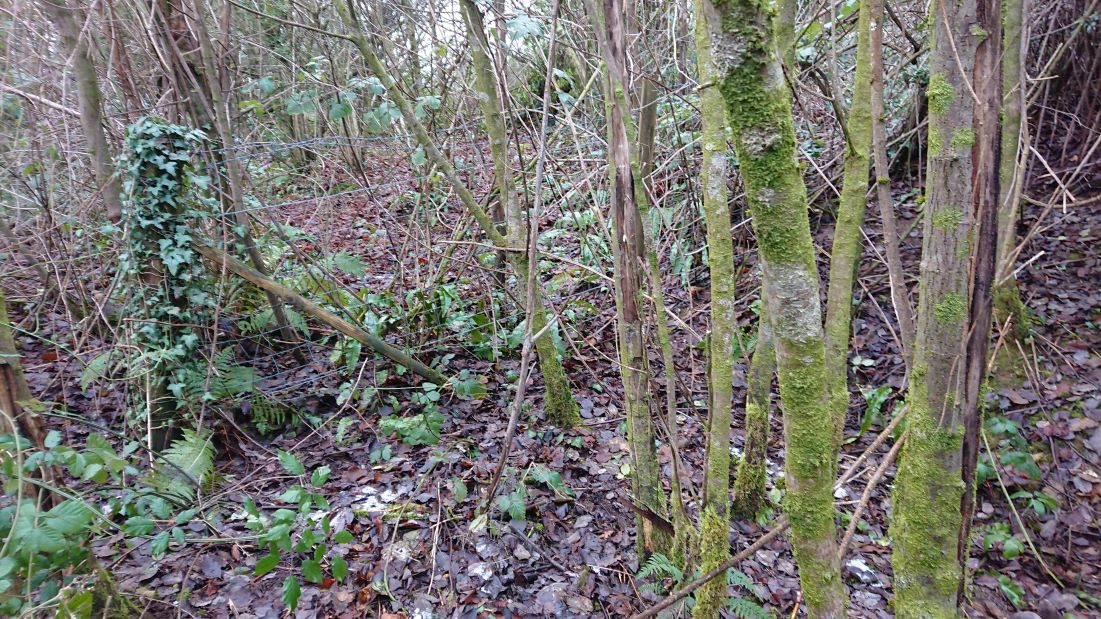
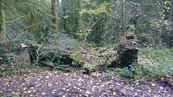
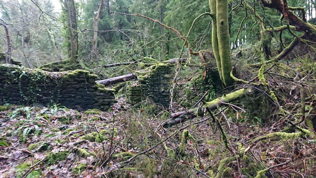
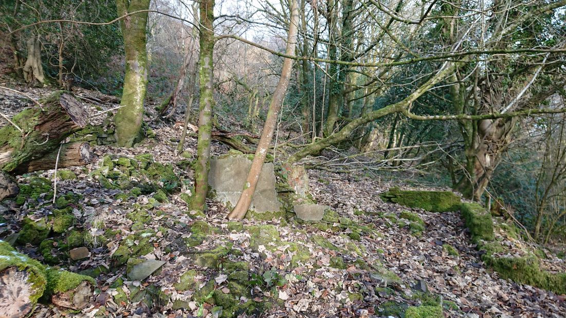
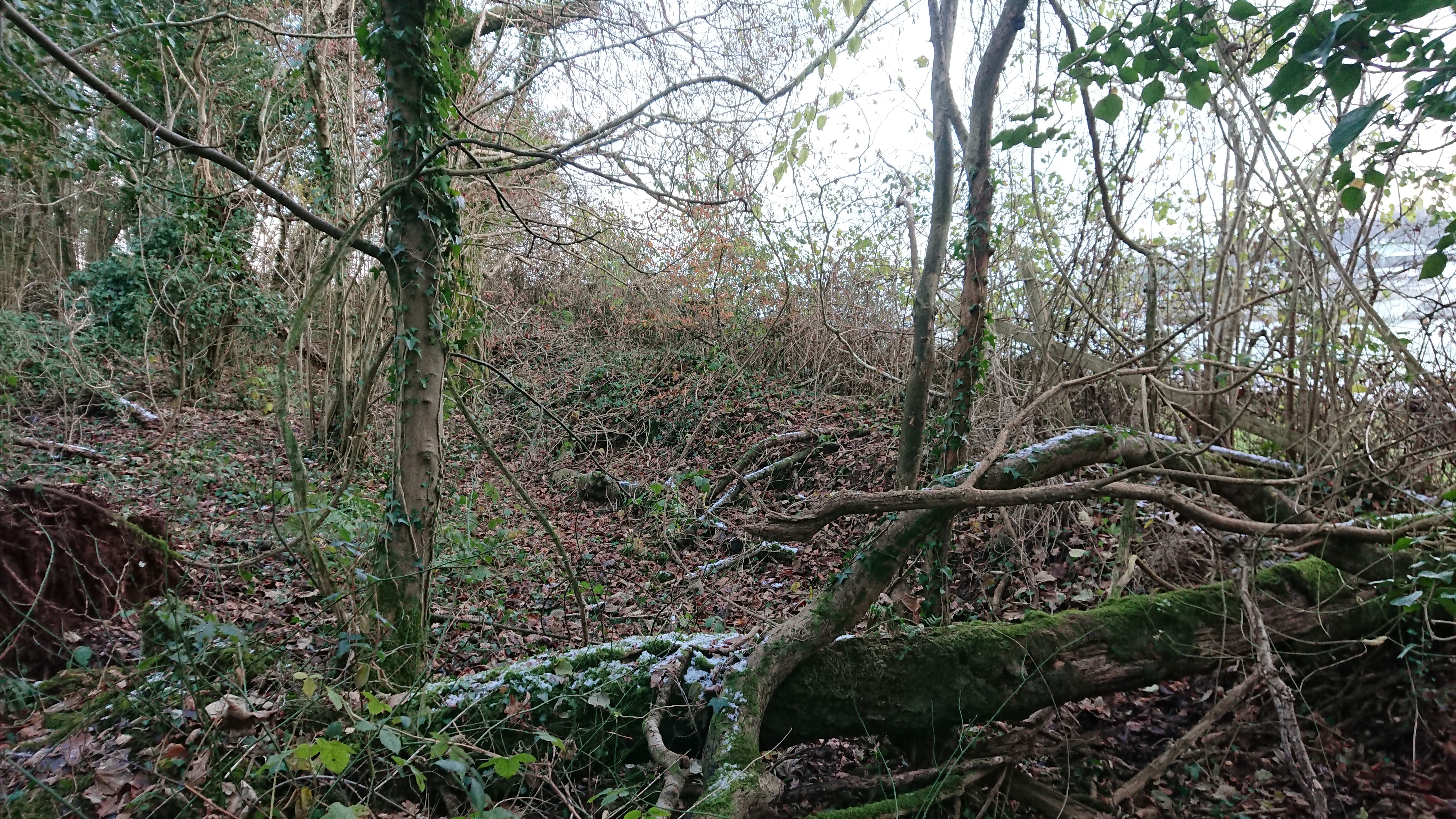
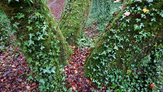
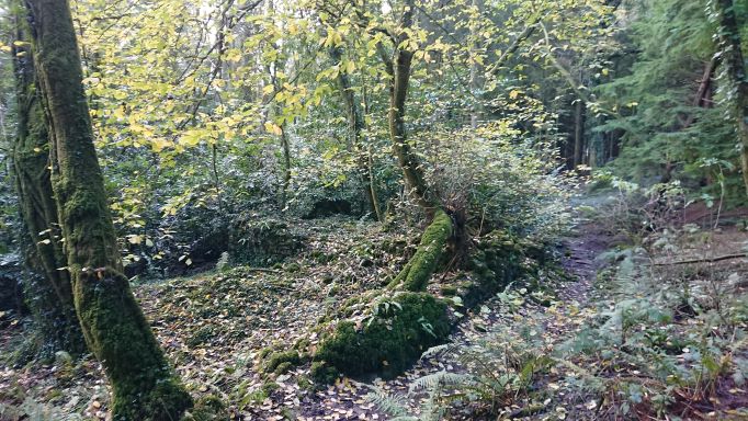
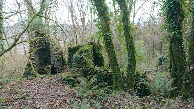
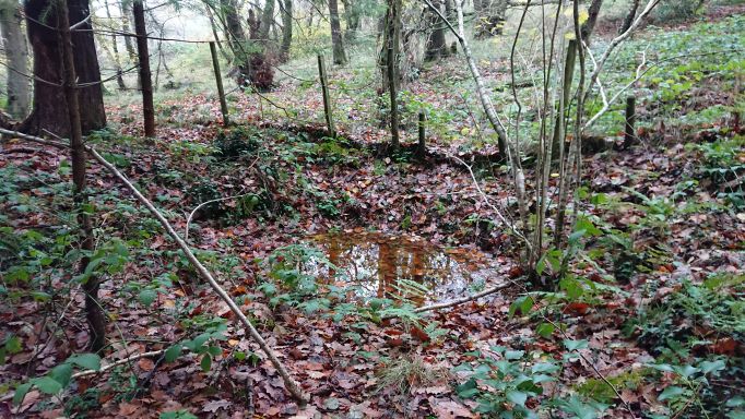
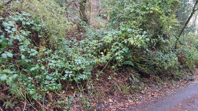
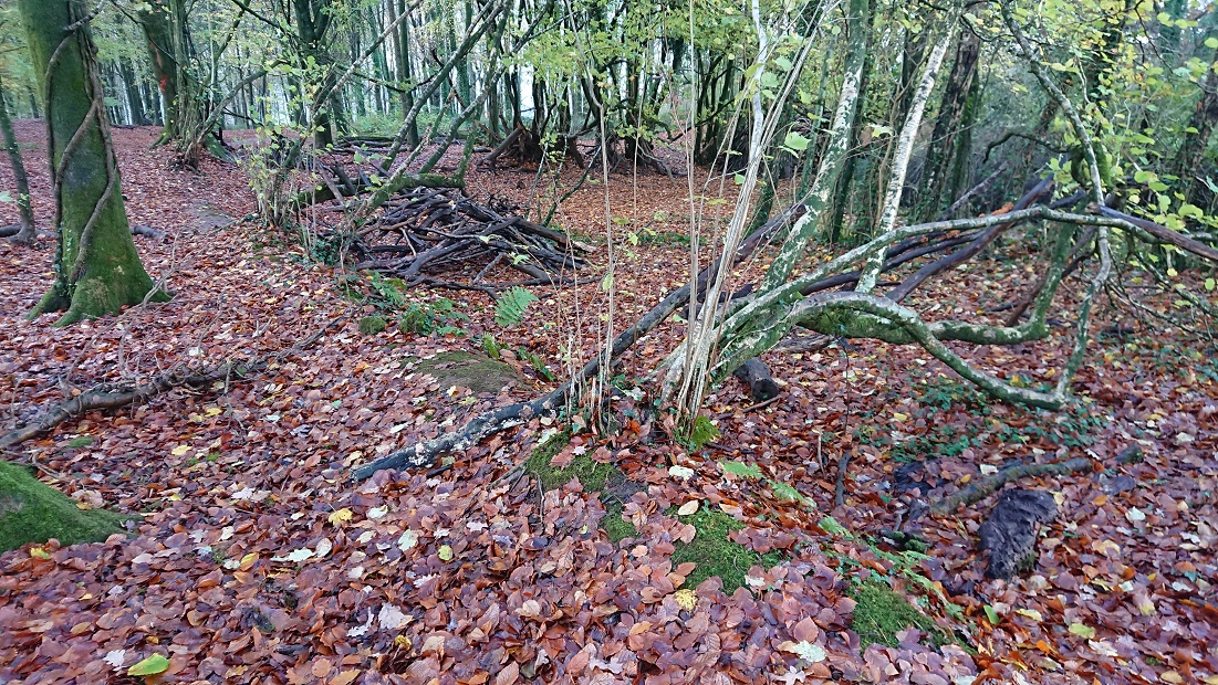
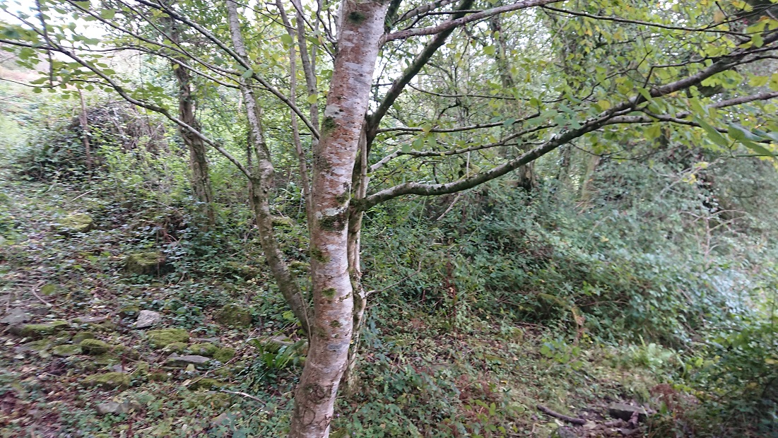
at about OS Grid Ref: ST 12516 84638. From the path just a heap of tumbled stone,


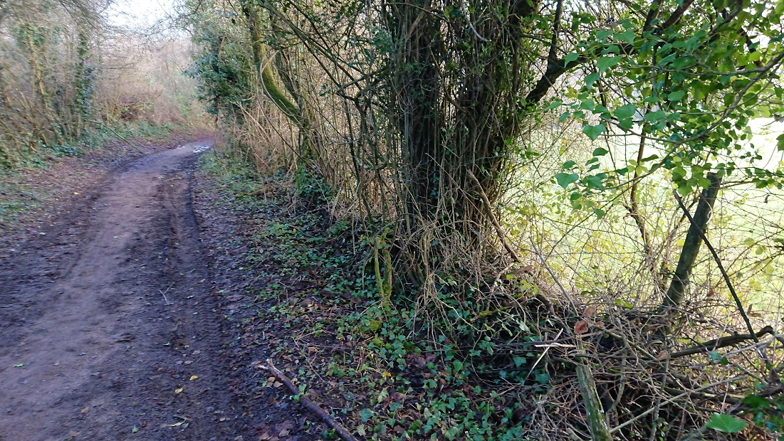
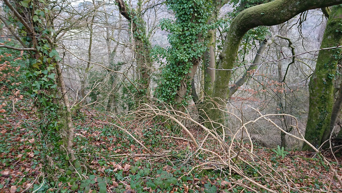
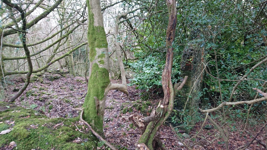
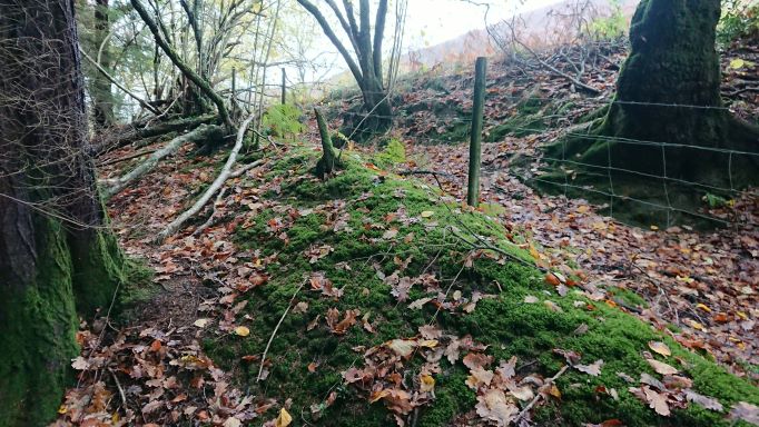
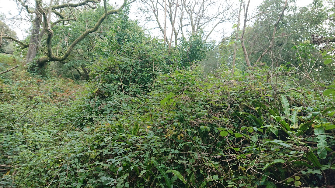
but up in the brambles there is a bit more of a wall.


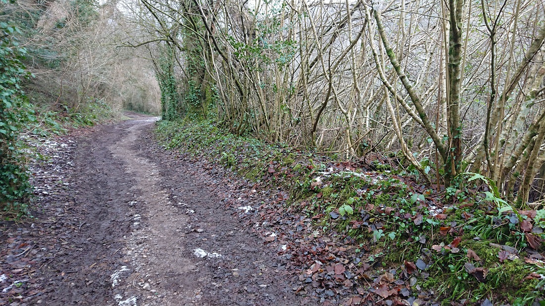
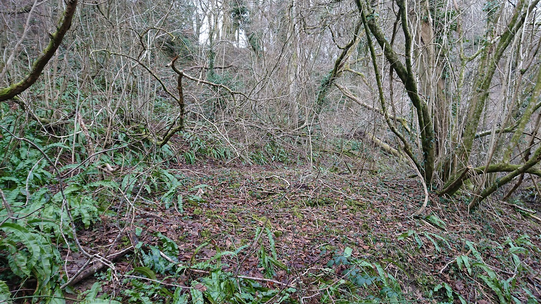
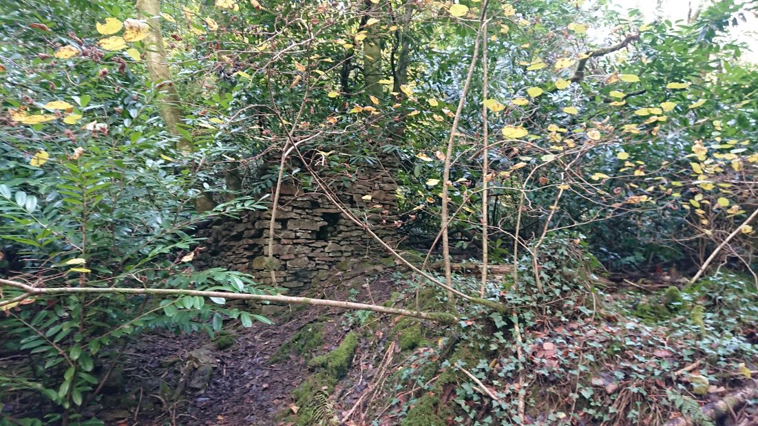
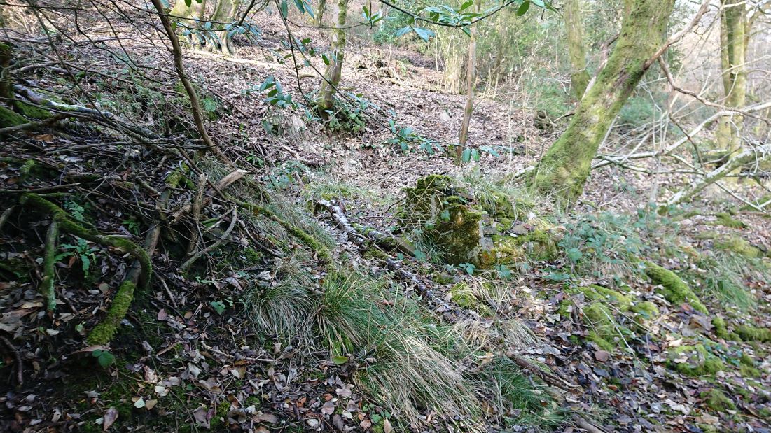
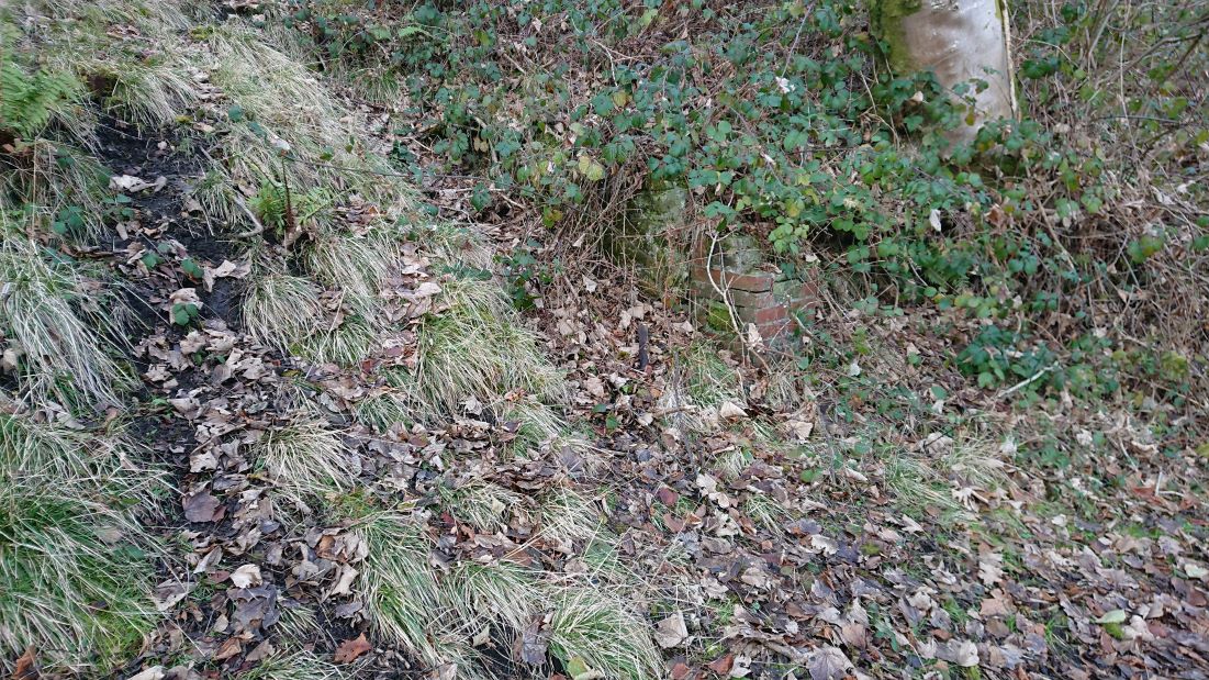
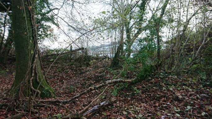
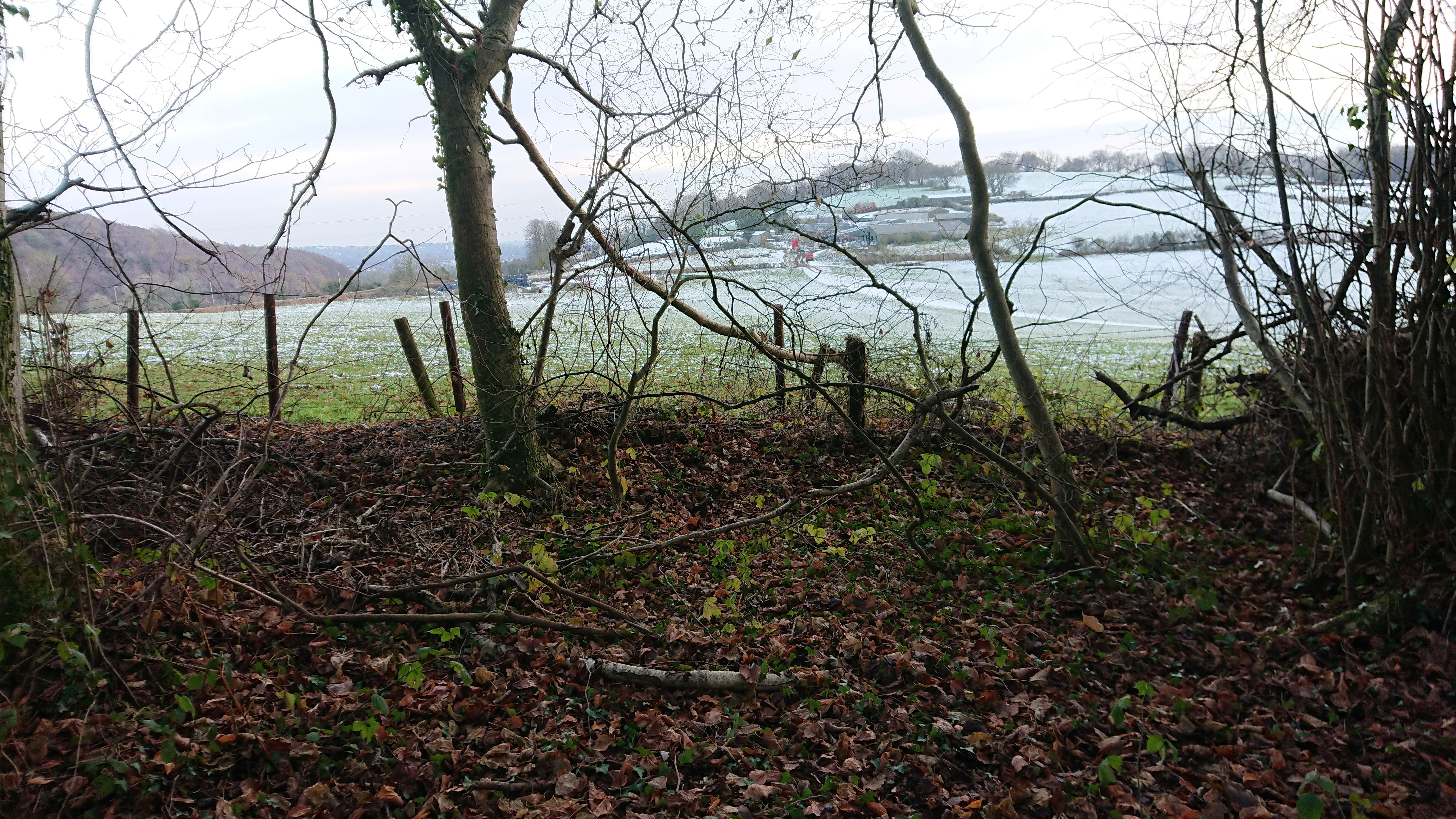
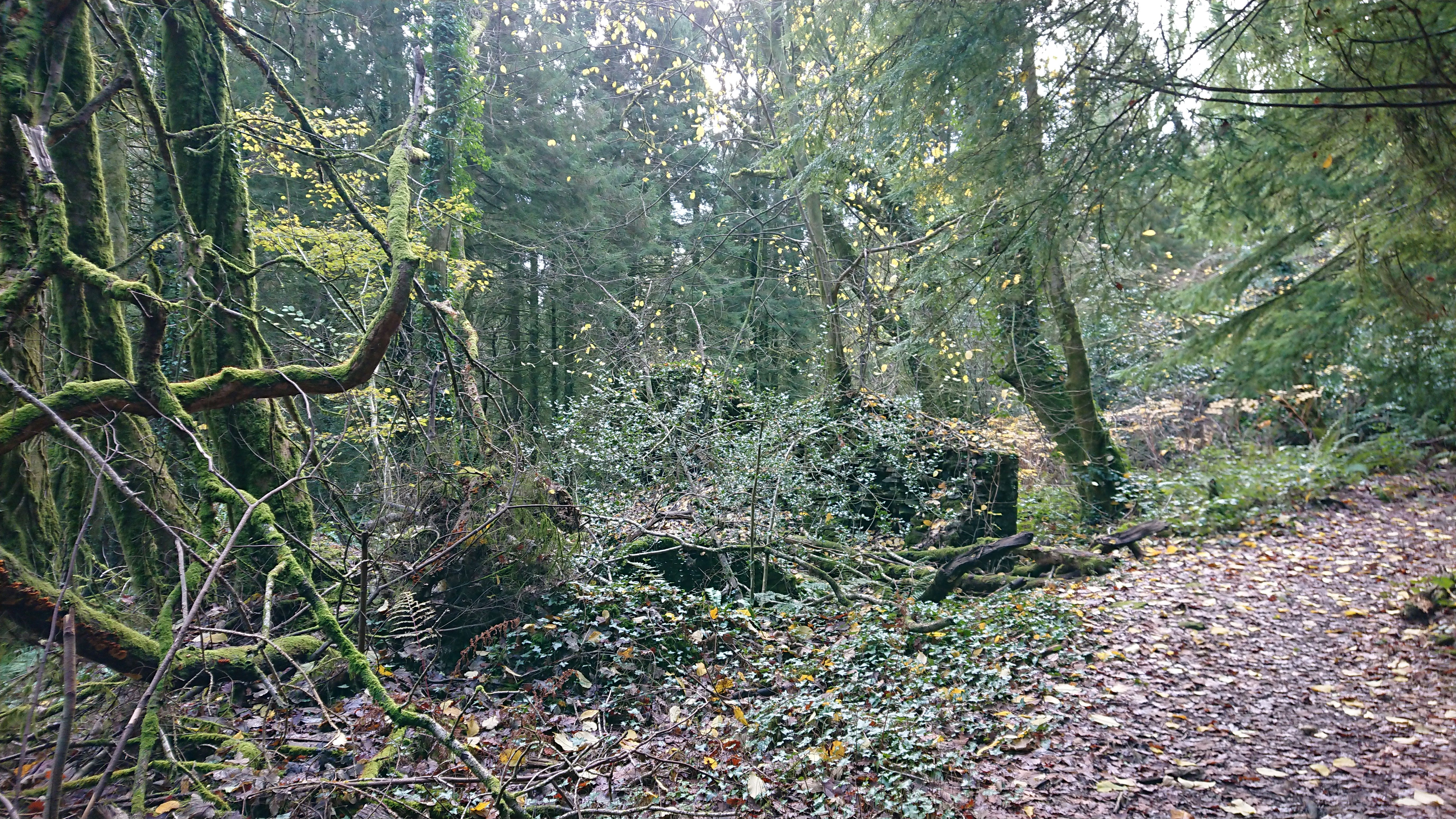
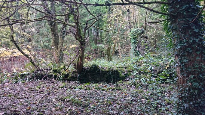
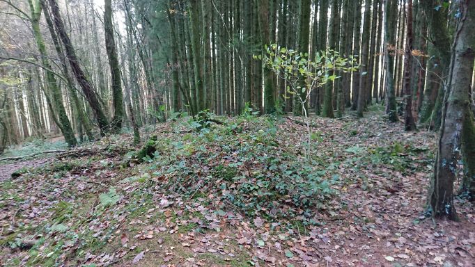
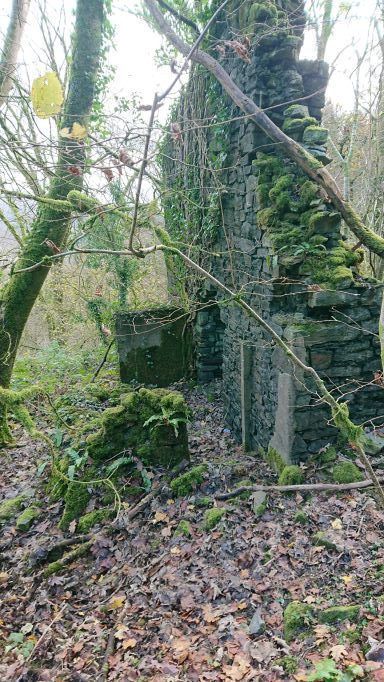
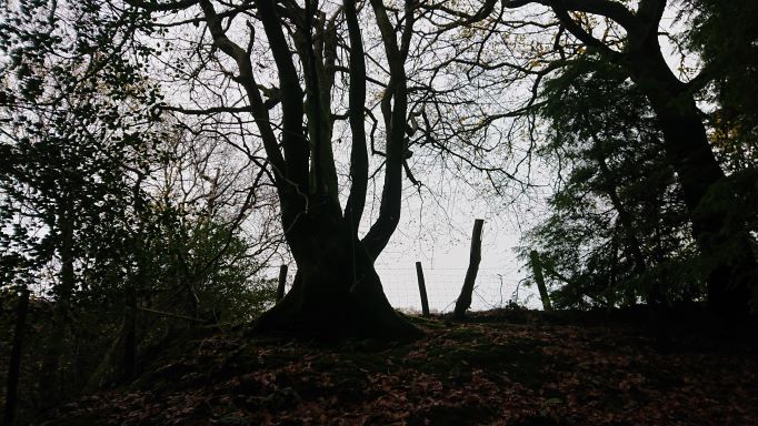
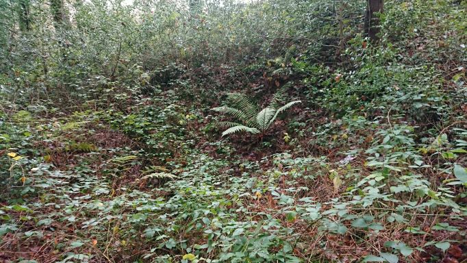
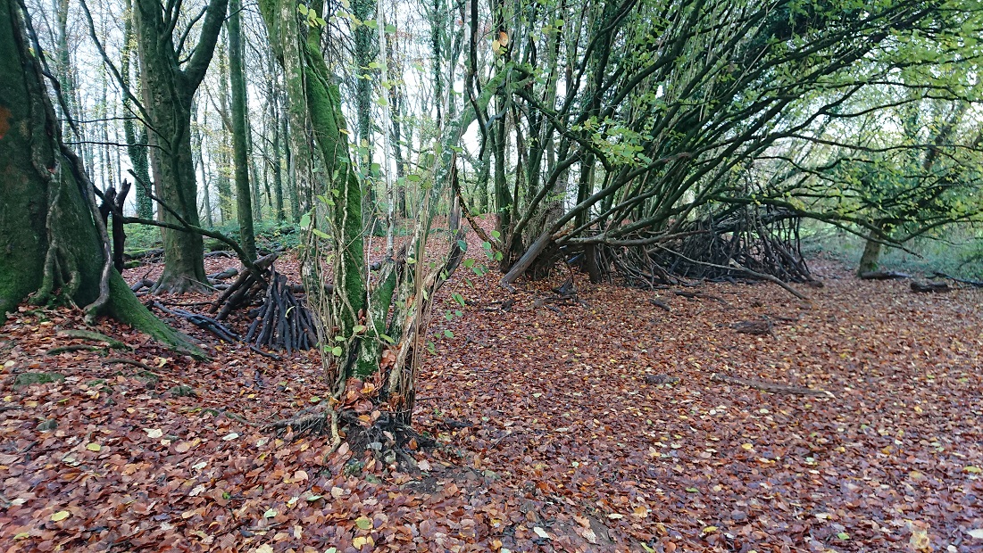
And a little further up the slope, at about ST 12575 84628


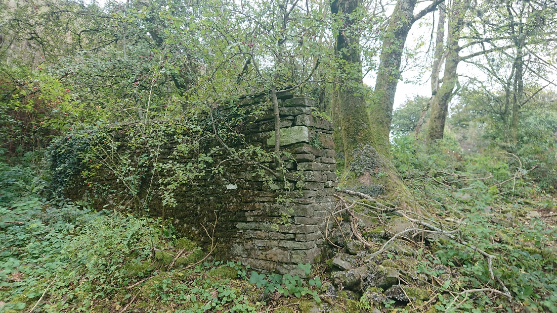
a little more stonework.

They took some finding on the wonderful https://places.library.wales but they are there – it’s just tricky overlaying the 2nd edition OS and the tithe plan on the modern satellite image. Also the tithe plan shows the 2 buildings much closer together that they actually are.

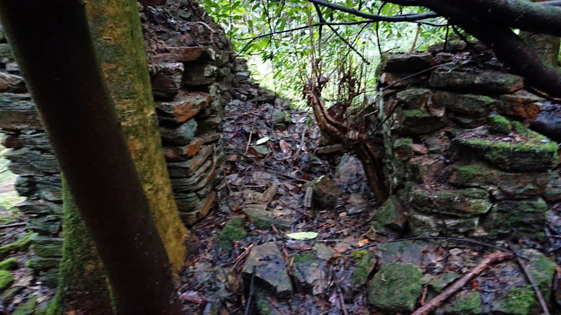
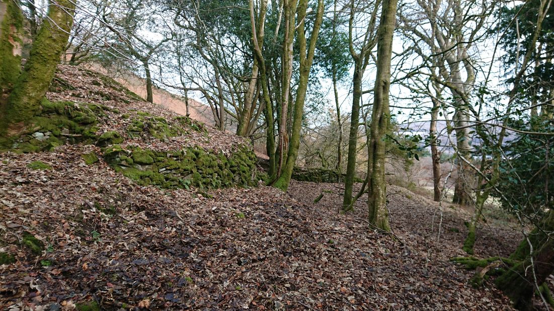
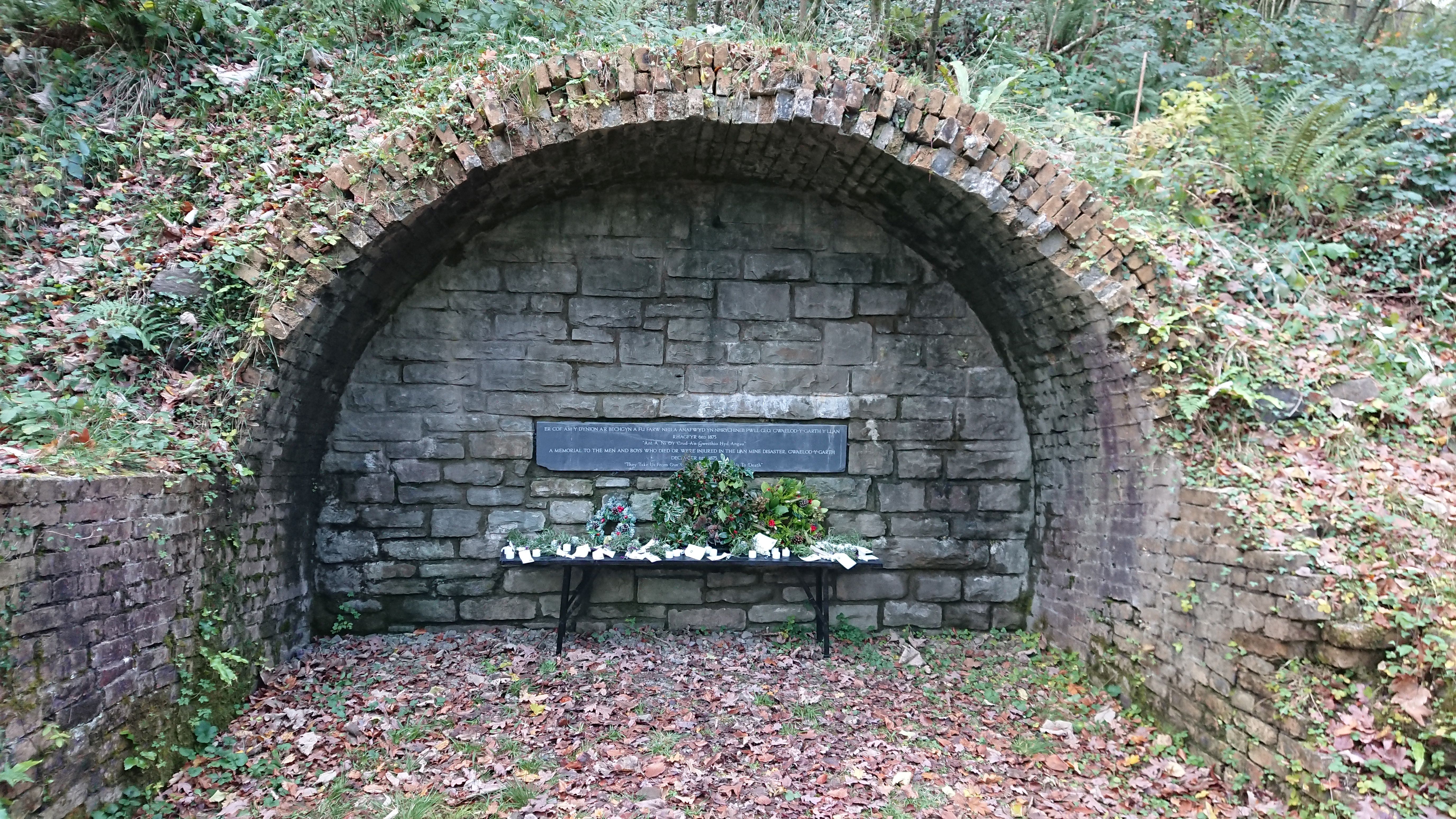
In 1839, the date of the tithe plan for the huge parish of Eglwysilan, they were part of a farm called Tir Craig yr Allt. They may originally have been part of another smaller farm which had been absorbed into Tir Craig yr Allt. The lower of the two buildings isn’t named but is in a small field called Cae dan y ty, the field below the house. The upper building is in a field called Cae ysgubor, Barn field. T he main farmhouse of Tir Craig yr Allt (described as ‘Homestead’ on the tithe plan) was at about ST 13787 84873. This added to the confusion: between the tithe plan and the 1st edition OS map (surveyed 1875), the farmhouse had been rebuilt a little further down the valley of the Nant Brynau. This farm, now just called Craig yr Allt, is still there: it is a large farm and riding stables. Alas, the site of the ‘Homestead’ isn’t accessible: it’s in the woods between the drive to Craig yr Allt and the Nant Brynau, so we can’t check if anything remains of the old farmhouse.

In 1840, Tir Craig yr Allt was the property of Robert Henry Clive, part of what would become the Plymouth estate, and the tenant was Mary Williams. It was a substantial farm of nearly 130 acres, though just over 50 a. of that was rough mountain grazing.

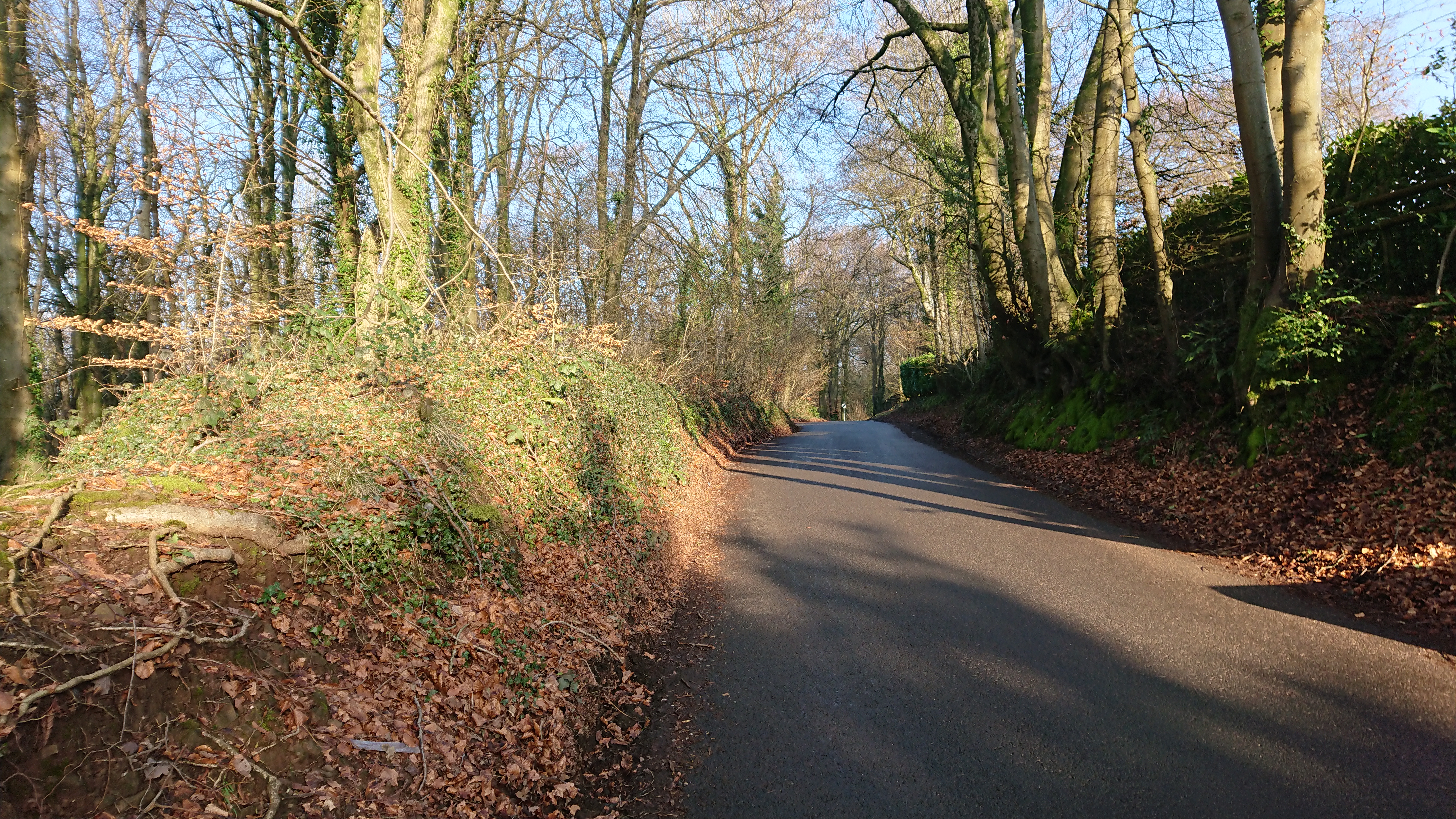
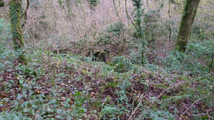
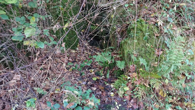
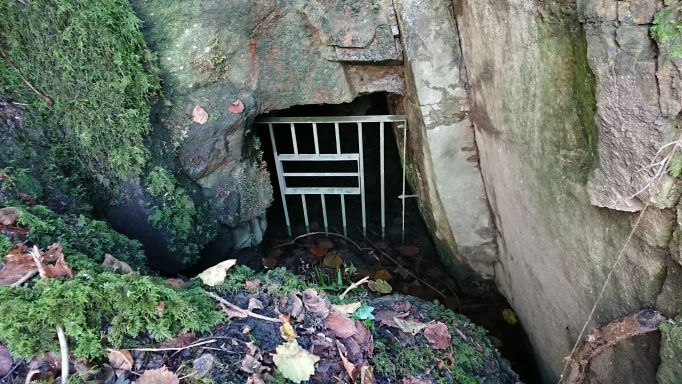
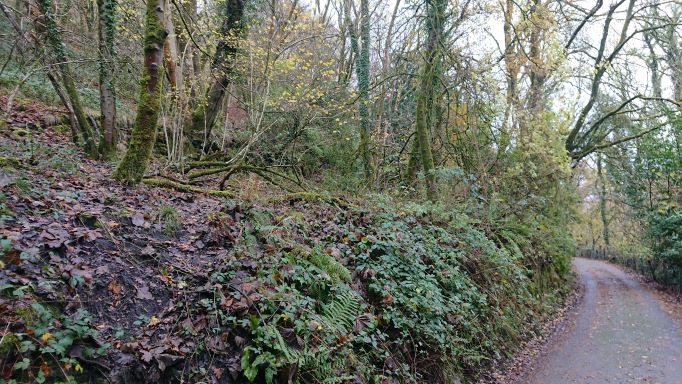
A little further up the lane (I need to go back and check the grid reference) was this


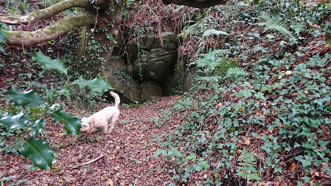
(Gwen for scale) – presumably an old adit. Coal levels and quarries are marked along the lane on the 2nd edition OS, and both lead and iron were found in the area.

Fforest Fach

This is yet another of those ‘medieval forest boundaries I have walked past dozens of times without recognising them’ posts (see also https://www.heritagetortoise.co.uk/2022/11/forest-boundaries/, https://www.heritagetortoise.co.uk/2022/11/coed-rhiwr-ceiliog/, https://www.heritagetortoise.co.uk/2022/12/fforest-ganol/ ). Fforest Fach runs between the ridge of Rhiwbina Hill and the little valley of the Nant Cwmnofydd. The boundaries are the road up Rhiwbina Hill, the lane from the road down to the stream, and the lane back up towards Bwlch-y-cwm Cottage. But which came first, the lanes or the forest with its boundary banks?

The boundary of Fforest Ganol runs up to the road over Rhiwbina Hill at ST 14371 83141. There is a bank running north along the road which could be the eastern boundary of Fforest Ganol: the road at this point is slightly hollowed into the hillside but the bank is clear of ground level on the western side.

The boundary of Fforest Fach should run east from this point but it has been lost under the gardens of Forest Lodge and St Hilarion (on the site of Coedwig-du on the 2nd edition 6” OS map). It should run down to the lane along the Nant Cwmnofydd but there doesn’t seem to be a change in the banking along that lane at any point. Here it is near Seaview at about ST 14574 83125

and here further down at about ST 14606 83233

There is no obvious bank going north, but matching the modern OS map with the tithe plan it does look as though the boundary followed the line of the modern fence (just visible through the undergrowth at about ST 14604 83215)

then went along the lane until the turning to the footbridge and ford, where the line of the boundary follows the stream.

No evidence of a bank where the boundary turns NW away from the stream – but a very clear bank to the east of the lane leading back up towards Bwlch-y-cwm.


(How many times have I walked this lane, with a succession of dogs …)

Near the top of the slope, another track joins from the left. From the tithe plan and 2nd edition OS it looks as though the boundary bank goes right here for a little

then turns left at about ST 14580 83820 to go up the steep slope.

No evidence of a bank here, or at the top – the slope is probably too steep – but could this tree at the top be a stub?

There is a very slight boundary bank following the lane back to Bwlch-y-cwm, suggesting that the original cottage there just outside the boundary could even have been medieval.

I keep thinking that’s as far as I’m going to get with Rackham’s work but doubtless there will be more.

The Afterlife of Stone Monuments

Some years ago now, Steve (my husband) did the MA in Celto-Roman Studies offered by the late lamented University of Wales, Newport. He got particularly interested in the stone monuments of early medieval Wales and wrote a short article on the ways that the stone of these early monuments was reused. I never managed to persuade him to publish it, but it turned up a few days ago when we were sorting out old hard drives and back-up folders. So here it is.

THE AFTERLIFE OF STONE MONUMENTS 2

Maes Araul and the Little House

Looking again at my photos of the ruined cottages in Coed Rhiw’r Ceiliog, I wondered whether they were originally platform houses, built on land dug into the hllside. That would have suggested an early date – but were they really? We got back there in a rare gap in the rain and splashed across the ‘improved grassland’ and the many streams in the woods.

This, the larger of the cottages

does look to have been dug into the bottom of the slope, but the house is roughly square. Rebuild on an earlier site? Possibly …

But the smaller of the cottages, which I thought at first was at right angles to the slope and this was the south gable wall

turned out to be a similarly square structure and the bit to the south was this

the traditional little house at the bottom of the garden. (In Welsh we actually call it the tŷ bach)

Back to the tithe plan – and again more confusion. The tithe map overlay at https://places.library.wales/browse/51.543/-3.279/17?page=1&alt=&alt=&leaflet-base-layers_70=on has an awkwardly-placed blot over where the second cottage ought to be, but there really doesn’t seem to be anything there. The larger cottage is described as ‘2 Cottages and Gardens’ but the two buildings are close together.

Curiouser and curiouser.


And another strange thing. My sharp-eyed French cousin spotted this

on one of the old broad-leaved trees below the first cottage. The number on the tag is 1681. We didn’t see any tags on other trees. Has someone been doing a bit of surveying of the old broad-leaved trees in the wood, or is this just something that someone found and randomly stuck on the tree?

Garth Cottages

I went up the Garth before the snow melted and walked back along the Pentyrch road. This

is marked on the 2nd edition OS as Mwndy, but on the tithe plan it’s Gockatt Isha, a house and just short of 8 acres of arable, pasture, meadow and garden, belonging to the Bute estate and tenanted by David John.

Steps up from the road

To be honest, the ruins look more substantial than you’d expect from a smallholding, and the area just to the north-east

is quite a substantial enclosure. The OS marks a separate building here.

Caerwen

just south of the road was a much bigger farm, over 125 a., but now a ruin.

And this

a little further along the road, must have been the Collier’s Arms. The Lan research group have done a lot of work on the deserted buildings along the road from Gwaelod-y-garth.


Fforest Ganol

Back to Oliver Rackham’s Ancient Woods of South-east Wales. This rather undistinguished hedge-bank up in the woods on the other side of the little valley from Castell Coch

turns out to be part of the forest boundary bank of Fforest Ganol. This is at about OS Grid Ref: ST 14187 83090. Th field boundary turns south here, but the forest boundary bank continues westward under the trees.

The bank is clearer and more substantial to the east

It virtually disappears once you reach the cleared field

but with the eye of faith you can still see it.

Further down towards the stream, these are the hornbeam stools that Rackham spotted

Hornbeams are unusual west of the Chilterns – Rackham says they were briefly popular as planters’ trees in the C19 but that the size of these stools suggests they are older.


Maesaraul and Coedcae

Back to Coed Rhiw’r Ceiliog to look for those ruins in the middle of the wood. On the tithe plan they are described as cottages and gardens, belonging to William Booker, Thomas and Elizabeth Matthews and William Gedrick and tenanted by Richard Blackmore and Co. (presumably Richard Blakemore, owner of the Melingruffydd tinplate company?). The first edition 6” OS map at https://maps.nls.uk/view/102342583 , surveyed 1872-5, does not give them a name but plans them out in some detail, with their gardens and a cleared patch to the south. The second edition OS 6” at https://places.library.wales/browse/51.54/-3.27/15?page=1&alt=&alt=&leaflet-base-layers_66=on calls them Maesaraul.

Both are described as cottages but the one to the east is more substantial

with what looks lilke an enclosed yard


and some hefty beech trees around it.

The one to the west is smaller.

They might at one time have been farmhouse and labourer’s cottage, but by 1840 I am guessing that they would have been occupied by coal miners or iron workers, employees or subtenants of the Blakemores. As well as the early bell pits, there is plenty of evidence for later coal mining in the wood – including at least one pit big enough to need fencing off.

Time to look at the census.

The biggest mine was of course the Lan mine, down at the bottom of the hill with a good interpretation board. This was the place of the great Lan colliery disaster in 1875. The children of Gwaelod school had added their contributions to a memorial to those who lost their lives.

The tithe map is if anything confusing rather than helpful. The cottages are listed but are surrounded by what are described as fields (one arable, one meadow, a couple of pasture and one of 52 acres described as being ‘wood & pasture) part of a farm called Coedcae, belonging to the same group of owners as the cottages. Coedcae seems to cover the full extent of what is now Coed Rhiw’r Ceiliog, but the only patch of land actually called Coed Rhiw’r Ceiliog (or actually Coed rhiw Cylog) is the wooded area west of Bethlehem Chapel, part of the Dynevor estate. On the first edition OS 6” the whole wooded area seems to be what is called Coed y Rhiw-Ceiliog. The woods on the tithe plan are patchy. On the first 6” OS they are mixed conifer and broadleaf, on the second edition OS 6” they are all broadleaf. On the 1964 revision they are still broadleaf and the name for the cottages has vanished. Later 1” and 1:25,000 maps also show it as broadleaf. This is misleading, as the conifers are old and decaying – possibly planted in the great push for self-sufficiency in wood after WWII?

There is plenty else of interest in and around the wood. Once you start looking for house sites, you see them everywhere – is this, for example

at about ST 11509 83359 some sort of structure, or just the upcast from a pit?

The Lan history group have been working on the housing north of the road – several cottages, and a pub, the Colliers’ Arms. There are the remains of houses below the road as well, along the track that leads to the woods. This one, at ST 11407 83558,

is quite substantial, with a separate little annex to the north

with its own chimney, and accessible only from outside. A wash house, maybe? The other, at ST 11415 83588

is completely inaccessible but seems from the OS map to have been roughly the same size. Neither is on the tithe map so they can’t have been farm houses.

Trying to get at the second house from below, I walked past this


just below the house, at ST 11421 83600 – another of the many adits.

This is outside the boundary of the ancient woodland, but ironically in the patch of wood that is called Coed rhiw Cylog on the tithe plan. Luckily, that is part of the Dynevor estate, whose estate papers presumably survive … somewhere …

Coed Rhiw’r Ceiliog

More discoveries in Oliver Rackham’s Ancient Woods of South-east Wales. Coed Rhiw’r Ceiliog is on the southern slope of the Garth mountain, just north of Cardiff. Looking from the Pentyrch road,

it is now a rather decayed conifer plantation, though with a few large beech trees

peeking over the edge. Rackham has however identified it as an ancient woodland, complete with boundary bank. There are more large beech trees

down the slope from the northern entrance. (There is a splendid detailed map in the book.) And yes, the bank is there – and along the northern edge it looks like a bank and ditch.

Yes, the ditch has turned into a stream in the recent rain. And yes, I did fall into the stream. But by this stage I was so excited by Rackham’s findings that I plodded on regardless, dripping mud and grateful that my phone is waterproof.

The bank going westward is quite clear, once you know what you are looking at

and here is the beech tree which Rackham noted at the north-west corner.

He describes it as a stub – a tree which has been cut off and allowed to regrow. A stub has been cut rather higher than a coppice but not as high as a pollard, and it’s typical of woodland boundary banks.

From here the bank turns south,

and what may once have been a ditch is now quite definitely a stream. There are a number of bell pits in the wood, early forms of coal mining. The Garth is near the southern edge of the South Wales coal field and the coal seams are fairly near the surface. Bell pits were one of the earliest forms of mining: you dug down to the coal then widened out the hole into a bell shape, got out as much coal as you could and (ideally) got out before the sides collapsed. They were an inefficient method of mining, and by the eighteenth century they had largely been replaced by drift mines and adits. The bell pits in Coed Rhiw’r Ceiliog could be medieval or early modern. This one

cuts into the boundary bank at OS ref ST 11125 83227 so is clearly later than the bank. Another a little further down

at about ST 11226 83077 would also have encroached on the bank.

There is a lot more to find out – back to the wonderful Places of Wales web site. The 1900 OS map marks buildings in the middle of the forest and gives the area the name Maesaraul, though the 1840 tithe plan says it’s part of a farm called coedcae (a place name about which Rackham has quite a bit to say). There was also a cottage down at the south-east corner, called Maes-gwyn on the OS map but on the tithe plan described as part of Coedcae.

Rackham was only concerned with the ancient woodland, though he does mention later features like mining and tramways when they affect things like woodland banks.

The bank turns north and runs up to the road at ST 11321 83507.

Early maps show settlement at this north-east corner of the wood, now ruined or lost. This

must have been a cottage, but it can now only be identified  by the shrubs which would once have been the garden hedge, lonicera nitida and privet.

There were once houses all along the road, a pub (the Collier’s Arms), and a bigger house (or possibly a farm) below the road – but it’s difficult to tie these up with the tithe plan. More work needed.

Forest boundaries

Another discovery in the late great Oliver Rackham’s Ancient Woods of South-east Wales (edited from his manuscript by Paula Keen with David Morfitt, George Peterken and Simon Leatherdale). It seems that this

which I thought (if I thought about it at all) was just a hedge bank, is actually the boundary bank of Fforest Fawr, one of the medieval forests just north of Cardiff, above Tongwynlais. Here it is as the boundary between the woods and the golf course. You can follow it along – here the trees have spread over it

and here

it is visible again under the trees. Here

it turns to the north and is visible under an outgrown hedge. It’s more worn down but still there when you know what it is, bordering the farmland to the north

and running up to the viewing point


ItI must have stood here literally hundreds of times without realising what it was

it’s a bit eroded at the viewing point but still …

and it continues westward


and eventually turns north and runs down to Ty Rhiw.

Who knew? Well, Oliver Rackham, obviously – but I used to call myself a landscape historian and I had no idea.

There’s lots more to discover from the book as well. Given a few dry days …

Portable fonts

posted in: Archaeology | 2

I have to admit that, before I went down this particular research wormhole, I hadn’t thought much about portable fonts. I knew about the Reformation debates about fonts and baptism, and the move away from chunky stone fonts near the church door to plain basins in full view of the congregation. But being more of a medievalist, I had assumed that ‘traditional stone font’ meant something hefty and virtually immovable.

Then I was sent photos of this (photos are © Peter Brooks)

looking for all the world like a traditional stone font but only about twelve inches high. It was found about fifty years ago at Penrhys in the Rhondda, during the building of the housing estate there. When found, it was broken in two, and the finders repaired it with cement and a metal pin. Before the estate was built, the hillside was home to a couple of small farms – but during the later Middle Ages it had been one of the holiest places in Wales. A famous carving of the Virgin and Child, believed to have arrived there by a miracle, made it a focus for pilgrimage, and the Welsh poets wrote in its praise.

Quite by coincidence, at about the same time, this popped up on Twitter – https://twitter.com/fotofacade/status/1527166580467150848

And a reference to a blog post https://church-travellers.eu/abbey-church-waltham-abbey-essex/ – scroll down for a photo of the same miniature font

And a lengthy discussion on Twitter – follow the threads from the original posting. People recalled baptisms using the Waltham miniature font and posted a photo of a completely different design which (according to family tradition) could have come from the Holy Land.

Penrhys was a grange chapel of the Cistercian monks of Llantarnam. The land should initially have been farmed by lay brothers of the order, but we know the grange had tenants by the early 14th century. Technically, I suppose, they should have gone to the parish church in Llanwynno for things like baptisms – Llanwynno is 2.75 km from Penrhys as the crow flies, but across a steep-sided valley. Cistercian chapels for tenants do seem to have had facilities for baptisms: the abbey church at Margam, for instance, has three medieval fonts, all presumably from outlying chapelries. They are all full size, and one would expect a permanent font in a grange chapel to be full size, but there could have been small portable fonts for emergency baptisms in remote farmsteads.

Somehow, though, although the miniature font was battered and worn, it did not look medieval. It has been taken to the National Museum in Cardiff and both the small finds officer and the Head of Collections and Research (History and Archaeology thought ‘maybe Victorian’. The Twitter discussion included a link to this https://churchantiques.com/product/small-vintage-gothic-bisque-china-baptismal-church-table-font/ – which as it’s china is presumably Victorian.

My first instinct was to think Catholic, or maybe High Anglican – that Victorian revival of ritualism and focus on the sacraments. However, a response to the original Twitter posting said that miniature fonts were common in Nonconformist chapels. Further enquiry suggested they are still used in the Methodist tradition. I am planning to seek out a few examples of these.

However, it is possible that the Penrhys find had no liturgical use. The team at the Baptisteria Sacra project https://bsi.dhn.utoronto.ca/main/project-information/ pointed to the difficulties of taking baptism in a miniature font. Would it not be better to have closed weatherproof containers for consecrated water, salt and oil? They also sent me these photos

– a rough earthenware replica font, 7” tall, quite elaborate in design and lavishly decorated. The base reads ‘Font in West Deeping Church Linc. Published by T I WHITE LONDON 1831’. This would not have been much use as a water container and seems to have been produced commercially as an ornament.

The Penrhys font, though, is stone and could have held water. But wherever it came from, whenever it was made, and whatever it was used for, how did it end up broken on a remote Welsh hillside?