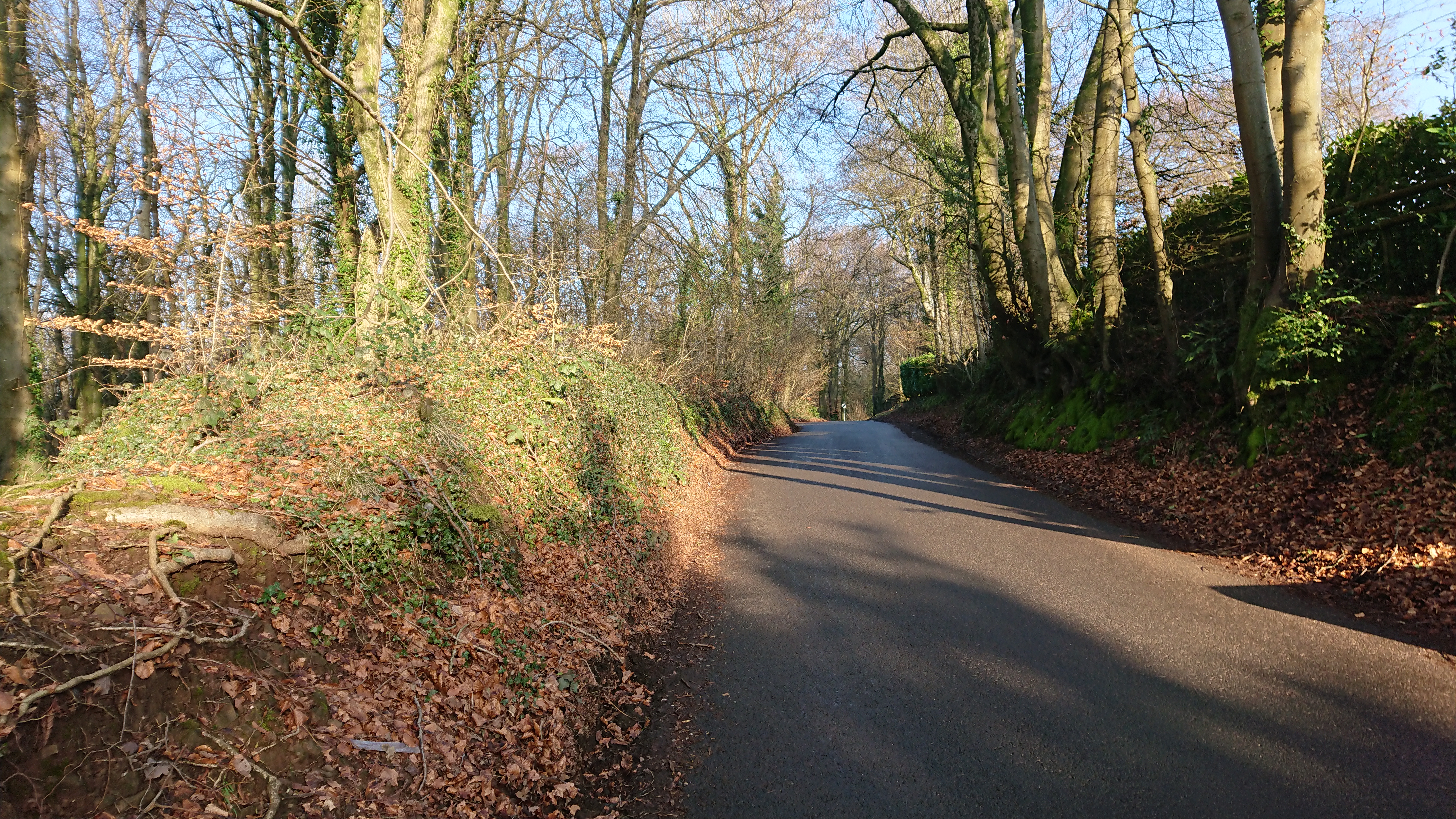
This is yet another of those ‘medieval forest boundaries I have walked past dozens of times without recognising them’ posts (see also https://www.heritagetortoise.co.uk/2022/11/forest-boundaries/, https://www.heritagetortoise.co.uk/2022/11/coed-rhiwr-ceiliog/, https://www.heritagetortoise.co.uk/2022/12/fforest-ganol/ ). Fforest Fach runs between the ridge of Rhiwbina Hill and the little valley of the Nant Cwmnofydd. The boundaries are the road up Rhiwbina Hill, the lane from the road down to the stream, and the lane back up towards Bwlch-y-cwm Cottage. But which came first, the lanes or the forest with its boundary banks?
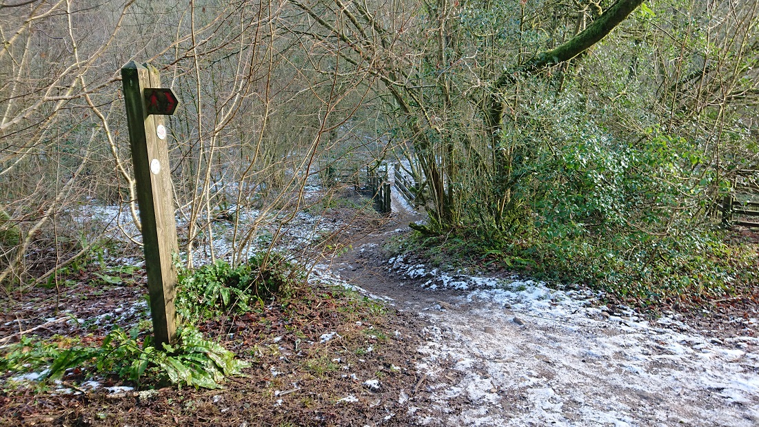
The boundary of Fforest Ganol runs up to the road over Rhiwbina Hill at ST 14371 83141. There is a bank running north along the road which could be the eastern boundary of Fforest Ganol: the road at this point is slightly hollowed into the hillside but the bank is clear of ground level on the western side.
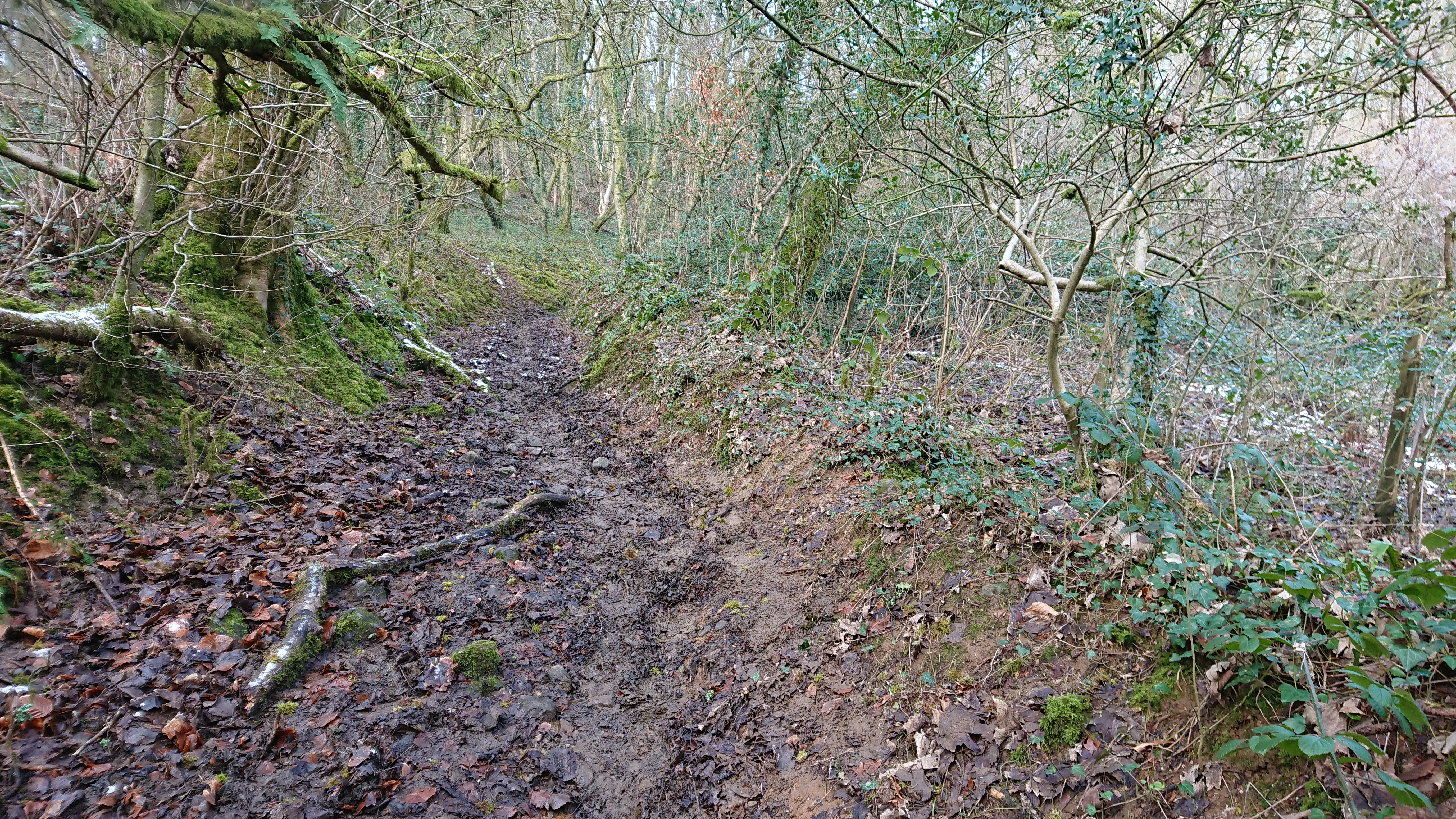
The boundary of Fforest Fach should run east from this point but it has been lost under the gardens of Forest Lodge and St Hilarion (on the site of Coedwig-du on the 2nd edition 6” OS map). It should run down to the lane along the Nant Cwmnofydd but there doesn’t seem to be a change in the banking along that lane at any point. Here it is near Seaview at about ST 14574 83125
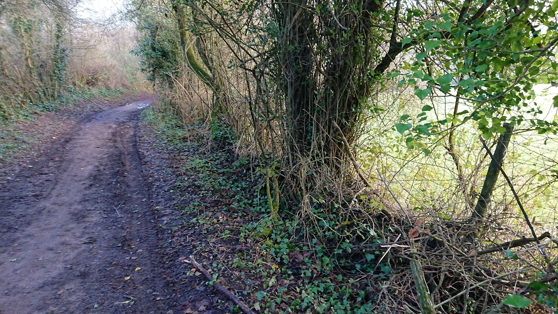
and here further down at about ST 14606 83233
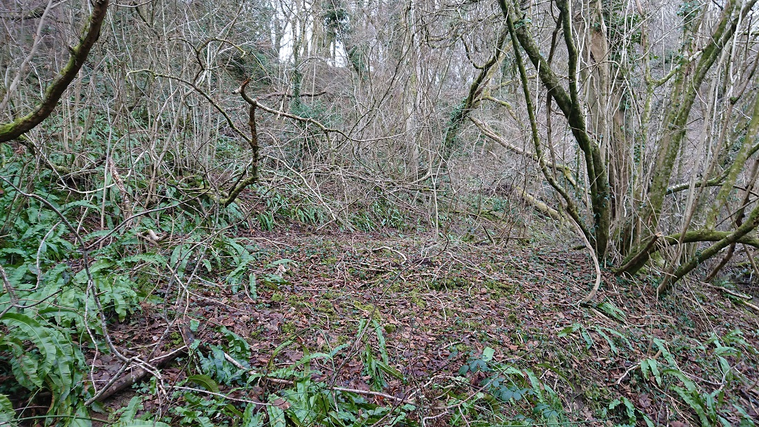
There is no obvious bank going north, but matching the modern OS map with the tithe plan it does look as though the boundary followed the line of the modern fence (just visible through the undergrowth at about ST 14604 83215)
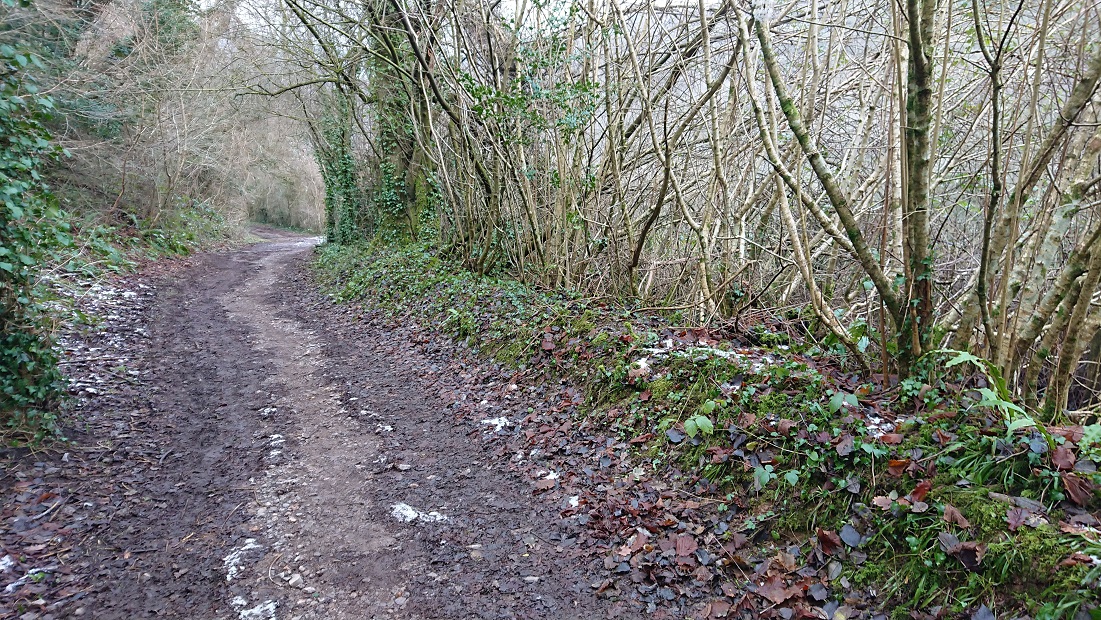
then went along the lane until the turning to the footbridge and ford, where the line of the boundary follows the stream.
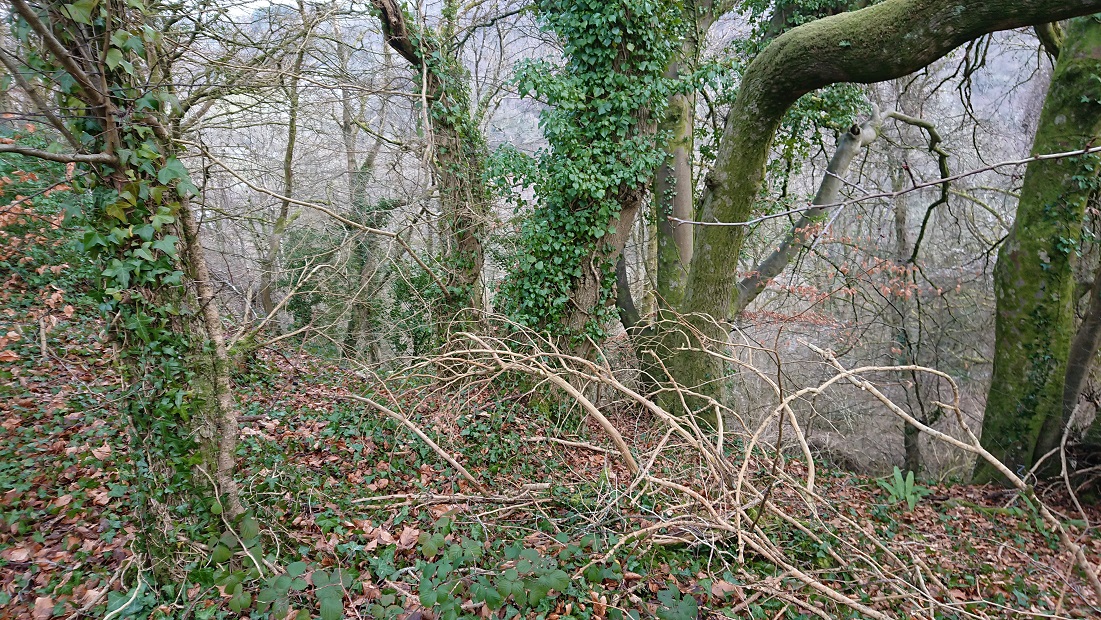
No evidence of a bank where the boundary turns NW away from the stream – but a very clear bank to the east of the lane leading back up towards Bwlch-y-cwm.
(How many times have I walked this lane, with a succession of dogs …)
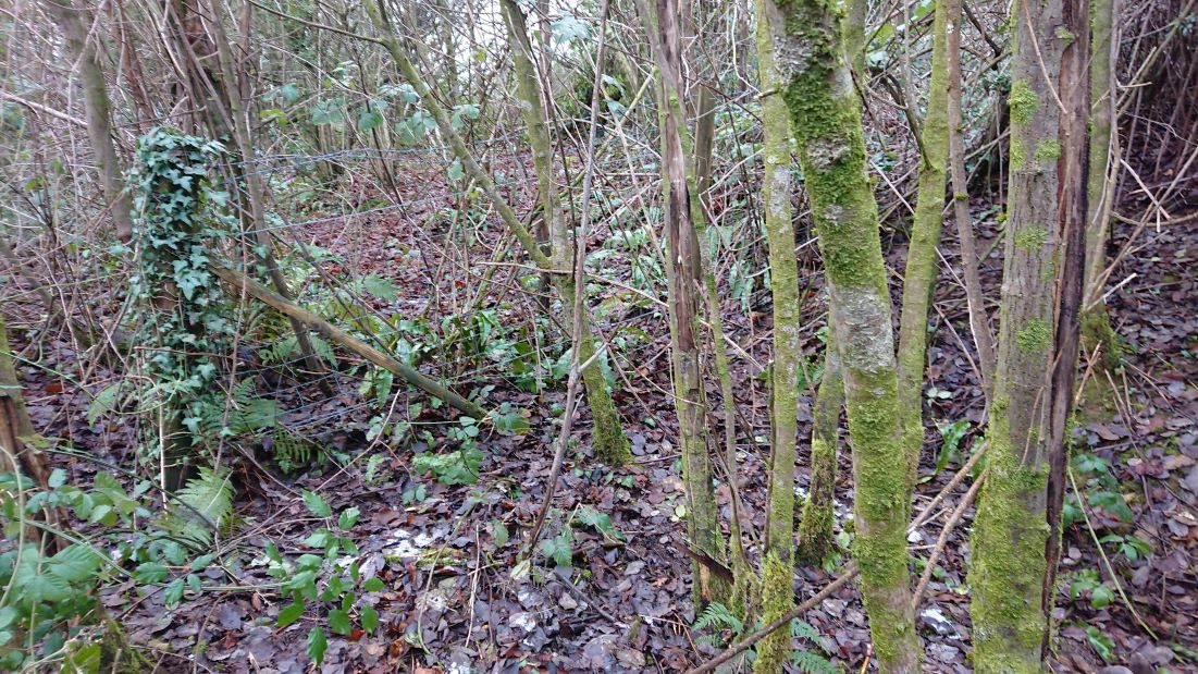
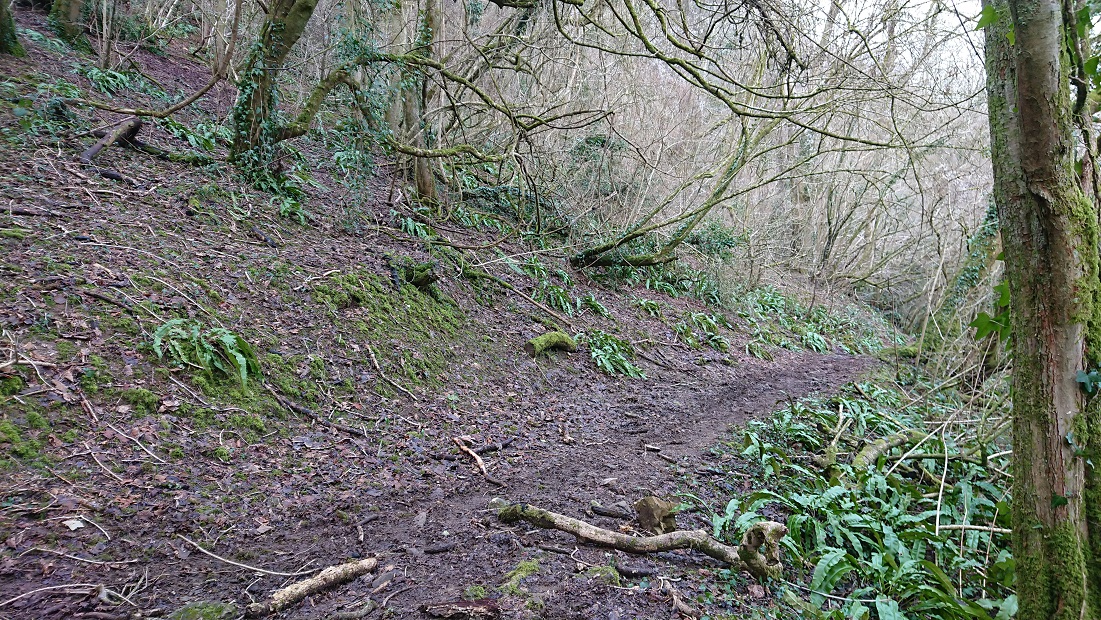
Near the top of the slope, another track joins from the left. From the tithe plan and 2nd edition OS it looks as though the boundary bank goes right here for a little
then turns left at about ST 14580 83820 to go up the steep slope.
No evidence of a bank here, or at the top – the slope is probably too steep – but could this tree at the top be a stub?
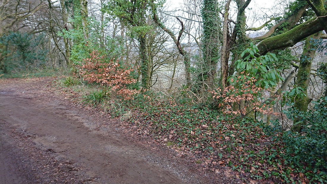
There is a very slight boundary bank following the lane back to Bwlch-y-cwm, suggesting that the original cottage there just outside the boundary could even have been medieval.
I keep thinking that’s as far as I’m going to get with Rackham’s work but doubtless there will be more.