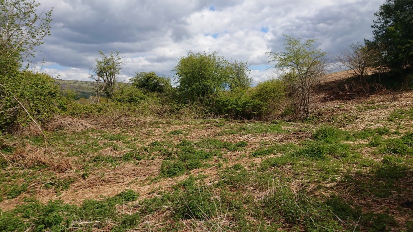
This is real hardcore lost farmsteads – this
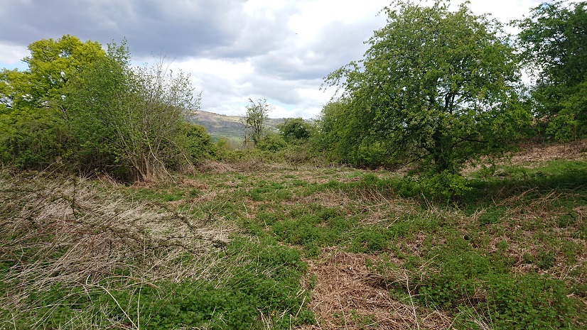
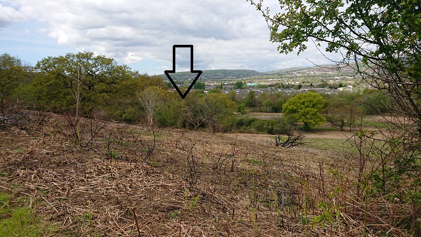
is all that is left of a farm called Maerdy. It appears on the tithe plan as Mardy Du, and in 1840 it was being farmed along with a larger farm, Gwern y Domen. It belonged to the Plymouth estate and the tenant was an Edmund Morgan (I think he has cropped up elsewhere – was he sub-letting?). It’s on the 1900 OS map as Maerdy cottages, so it seems to have gone down in the world, and it’s possible that the outbuilding marked on the tithe plan has become a cottage. There is still something marked on the 1:25.000 OS map at ST 17007 87450 but it’s hard to locate on the ground. The track down from Gwern-y-domen Farm to the railway line doesn’t follow the line of the right of way, the woods have expanded since the aerial photo was taken … but this is my best guess.
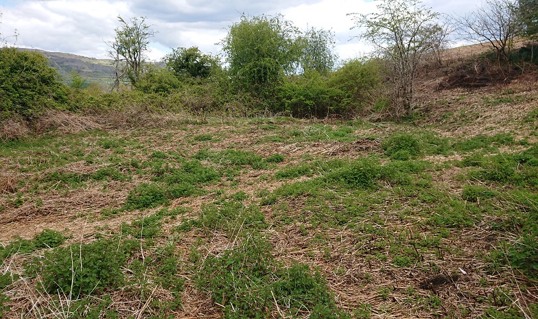
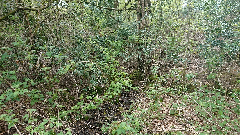
We tried to find the well, which is a little further up the slope. The stream clearly flows from it
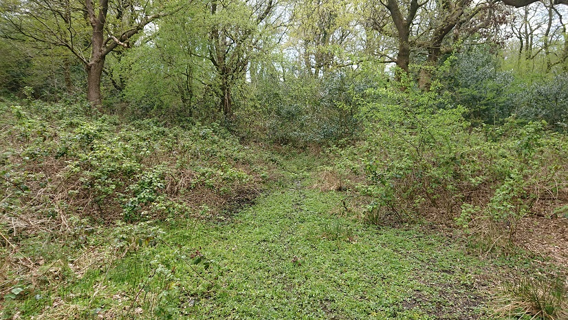
but the brambles defeated even Nell.
This is all a pity, as Maerdy would have been one of the most important farms in the area in the middle ages. Under Welsh law, the maer was the royal official in each commote, responsible for cultivating the king’s land and supervising the serfs (somewhat like a reeve in England). He also presided over the local court. As the Norman marcher lords took over from local Welsh rulers, they took over the organizational structure of the commotes, so the office of maer continued into the later medieval period.
But there was another maer in each commote, the maer y biswail (literally the dung-reeve) who was responsible for the lord’s cattle and could have day-to-day responsibility for farming as well. In The Welsh King and his Court, Glanville Jones pointed out that most places called maerdy were actually the homes of dung-reeves. So our farm may have been the home of a practical farm supervisor rather than a court official.
In a comment on my blog post on Parc y Fan at https://www.heritagetortoise.co.uk/2020/09/parc-y-fan/, John Owen suggested that the name might indicate the home farm for the centre of a multiple estate, possibly based on a building near the site of the Van Mansion. The various surveys of the De Clare estates mention Rudry, Hendrenny and Castell Coch as separate units, possibly manors? This he thinks may be the frozen remains of a multiple estate. Multiple estates were large land holdings organized so that they included all the necessary resources – good arable land, meadow, pasture, woodland, marsh land, rough mountain etc.
Or is there some connection with Gwern y Domen? The actual tomen is a castle mound a little to the north-east of Maerdy, with its bailey cut across by the disused railway line. Could this have been the local stronghold with Maerdy as the administrative headquarters? The problem is that we have little or no documentation and the archaeology has been messed up by industrial development and later housing.
But we do still have records of farms like Maerdy, Parc y Fan, Treboeth and the Warren to enable us to start reconstructing the old farming landscape.

