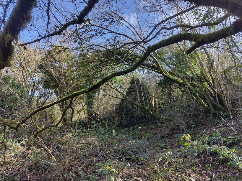
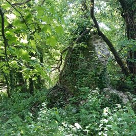
Back in 2022, when we were mostly getting over the lockdowns, I went over the Lesser Garth and round the quarry, and found the ruins of Ton-mawr farm (see https://www.heritagetortoise.co.uk/2022/08/back-to-the-deserted-farms/ ). All that is marked on the tithe plan is the actual farmhouse. The modern and 2nd edition OS maps add a building to the north of the farmhouse which I think must be one of these
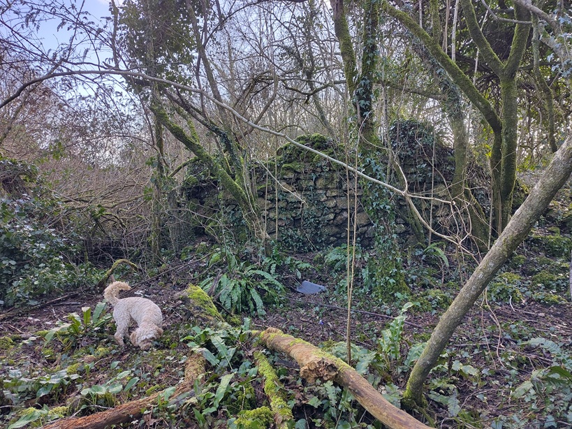
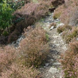
(Gwen the cockapoo for scale)
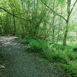
The farmhouse and outbuildings are set in a pattern of hollow ways and old field banks.
But a little further to the south is this
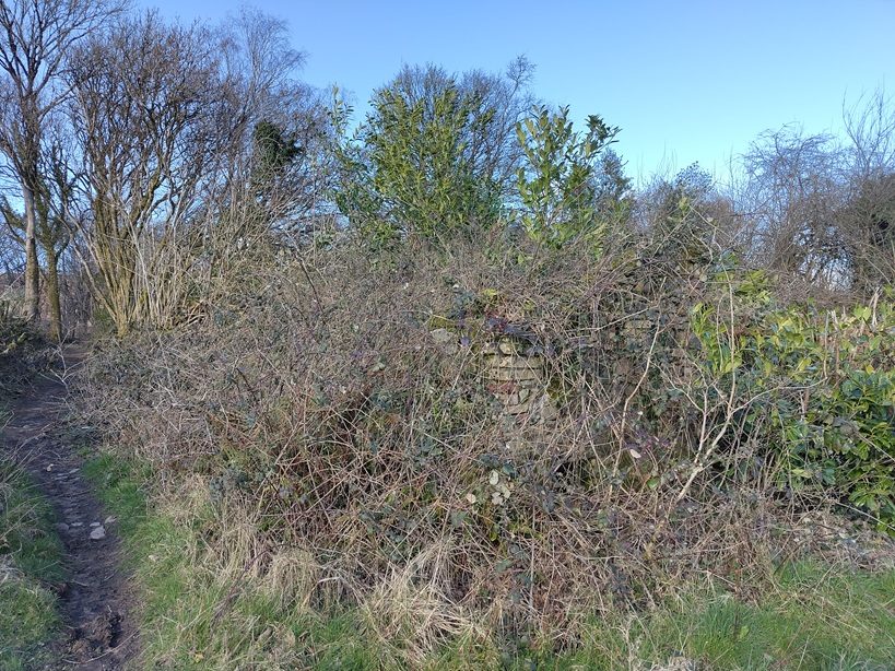
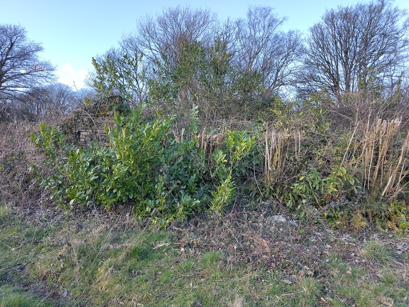
Not marked on any map that I can see – is it another outbuilding or something to do with the quarry?

Leave a Reply