So is that farm just off the Heol Hir Ty Drav (as on the tithe map) or Ty Draw (which seems more likely)? And is it actually below the track leading to Wern Ddu woods?
The lower track doesn’t seem to be on the tithe plan but it’s difficult to be sure because we are on the edge of 3 parishes (Ty Draw is in the Van hamlet of Bedwas, but immediately to the south is Llanishen, and to the west is Eglwysilan) and the plans don’t exactly line up. Copyright restrictions mean I’m reluctant to post a screenshot of the tithe map, but here’s a sketch plan based on it.
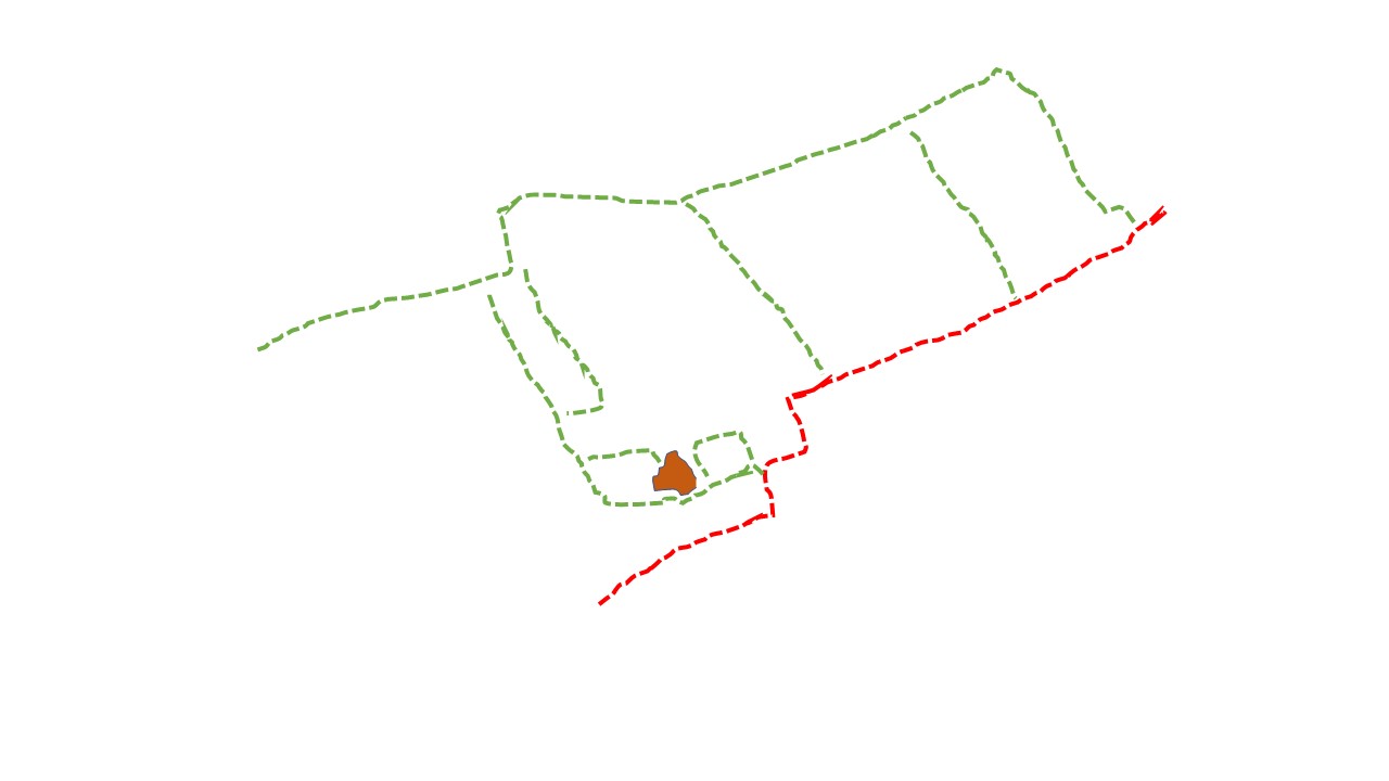
Field boundaries in green, buildings in brown. The red line marks the southern extent of the farm and looks suspiciously like the rather odd little angle of a field boundary just south of the lower track on the early OS map (it’s still just visible on the modern 1:25,000). Also, intriguingly, that zigzag line is marked as the parish boundary on the early OS map.
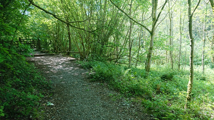
So is the farm below this lane, leading down from the gate?

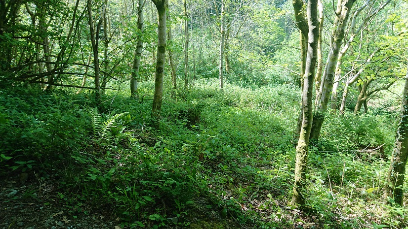
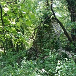
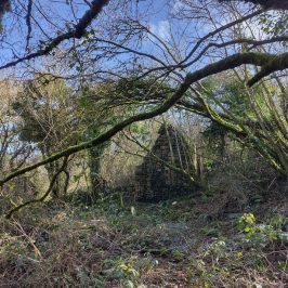
All that can be seen now is some tumbled stone under the brambles at about grid ref ST 17221 85357.
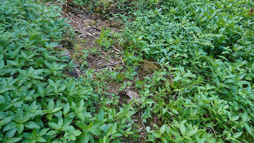
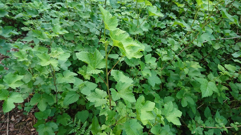
But the real give-away may be this
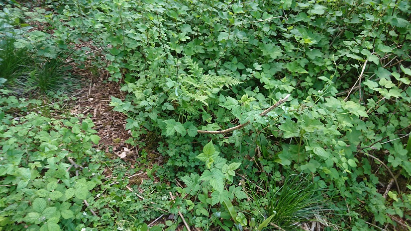
a patch of currant and raspberry bushes still holding their own against the undergrowth.
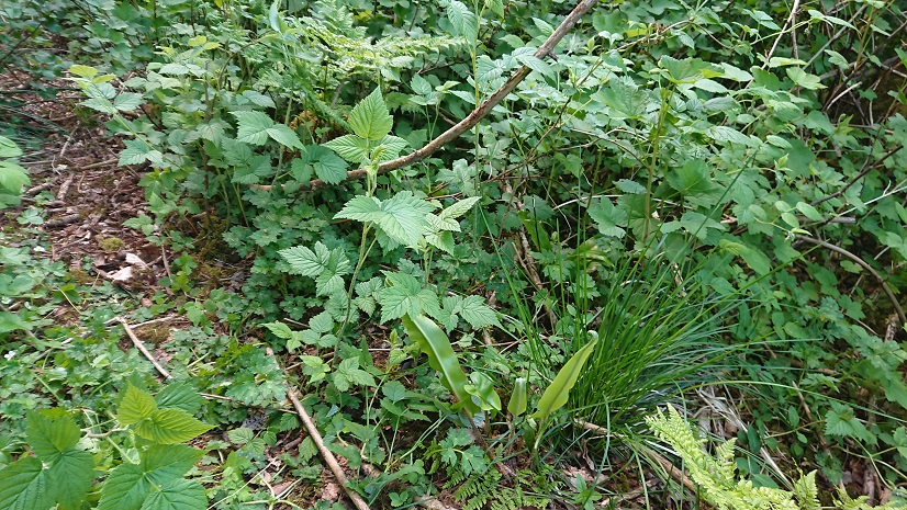
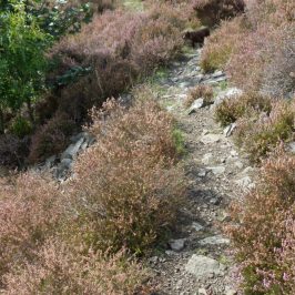
The lines of the fields from the tithe plan are also just about discernible under the trees along the lane.
Ty-Draw is marked as a ruin on the c 1840 tithe plan. The fields around it belong to the Clive estate and are occupied by a Thomas Roberts. But where did he live if the farmhouse was a ruin? He doesn’t appear anywhere else on the apportionments for Bedwas, Llanishen or Eglwysilan. Possibly he was sub-letting the fields around Ty-Draw to another of the local farmers: that might not have shown up on the tithe record.
Also, if the southern boundary of the farm is the parish boundary, what might that suggest about the age of the farm? The area to the north of the fields is marked on the tithe plan as a plantation – had the farm been nibbled away by the planting of trees for pit props, and was that why the farmhouse had fallen into ruin?
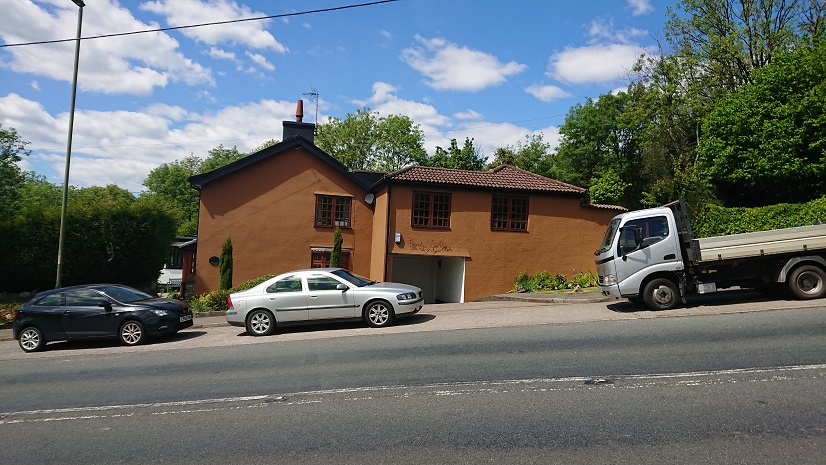
It’s hard to see what some farms and cottages have survived and others have been lost. On the ridge above Tongwynlais, both Blaengwynlais and Bwlch-y-cwm are still there, Bwlch-y-cwm with enough garden to look like a smallholding. If Cwm-nofydd is anything like the Difrinn Anovid of that early C11 charter in the Book of Llan Daf, it lasted for the best part of a millennium but is now an overgrown ruin. John Owen has identified Cefn Carnau in a survey of the de Clare estate in 1295. Cefn-carnau Fawr, the biggest of the farms, is a ruin. though there are new stable buildings along the lane and the owner is working on some of the Cefn-carnau outbuildings. The farm called Cefn-carnau Ucha on the tithe plan but Cefn-carnau Fach on the OS, is a solid little farmhouse with another dwelling in the converted outbuildings.
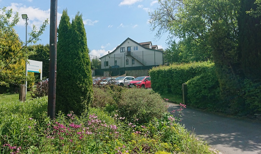
And the Cefn Carnau of the tithe plan (Cefn Carnau Uchaf on the OS) is now a private rehabilitation hospital.
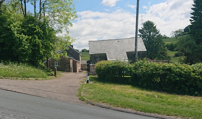
At the end of the lane from Cefn-carnau Fach, Pant-y-gollen is not on the tithe plan and is an un-named cottage on the early OS but is now a substantial house. The farmer at Cefn-carnau Fach told me Pant-y-gollen was once a shop.
Blaen-nofydd is also a substantial farm with converted outbuildings,
while the farms along the lane are long gone.
That’s about as far as I can get without delving into the census returns. In the comments on an earlier post, John Owen said he hadn’t found Bwlch-y-Gelli on the 1851 or later censuses but tht Bwlch-y-Llechfaen was on the 1861 and 1871 ones. But they are both on the OS map – I need a date for that before I start drawing any more conclusions.
I’ve updated my earlier posts with grid references, inserted a photo pf the limekiln near Bwlchygelli, and corrected my earlier reference to Bwlchyllechfaen as Bwlchygelli.


Sian Hockridge
Hi Madie, I have recently been looking into trying to find out a bit about Cefn carnau fawr Farm. The ruin on the track past bwlch cottage at pantgwynlais.
I believe it belonged to my great grandfather at some point and he had tenant farmers.
I know it went to auction in 1935 and think this was a result of my great grandfathers probate of his estate. . At the time the occupier farmer was a MR Spencer Wride yearly tenancy rental 100 pounds 154 acres.
Not sure when or how it came into great grandad Hockridge’s possession. (He was a landowner and house builder in whichurch).
I hv found out that the last people to live there were the Morgan’s. It caught fire and was never re built. The Morgan’s then built the bungalow you see in the lane.
It’s only a few weeks ago that I took a walk up there and found it. Who would have thought that I would quickly find info on it posted by you! We live in same village and chatted at baby group just before lockdown.
I would love to chat with you and hear what you know about it, Sian
Madeleine Gray
Lovely to hear from you! I got a lot of my information from the 1840 tithe map on the National Library of Wales’s Places of Wales site – if you go to https://places.library.wales/ and put in something like Tongwynlais in the Find a modern place box, you get an aerial view of the whole area. The box on the right lets you choose the satellite view, the modern map (Google, I think, and not the Ordnance Survey which would be more useful) or an early Ordnance survey map. Then you can look at the tithe map (about 1840) and click on the blue markers to see what information there is. If you click on the blue marker on the farm house then click on View Apportionment you get a survey of the whole farm. It was big for the time – just over 140 acres – belonged to a Rev. William Price Lewis and occupied by a Thomas Davies.
I don’t know how you would find out how it got from the Lewis family to your great grandfather. But you can find out more about who lived there – Cardiff Library are making the old census returns available online during the lockdown. I’ll forward you the email they sent me. I keep meaning to have a look at the census for all those farms myself but other things keep getting in the way!
And I’m looking forward to getting back with my little grandson again, and being able to do things like baby group. It seems an awfully long time ago.