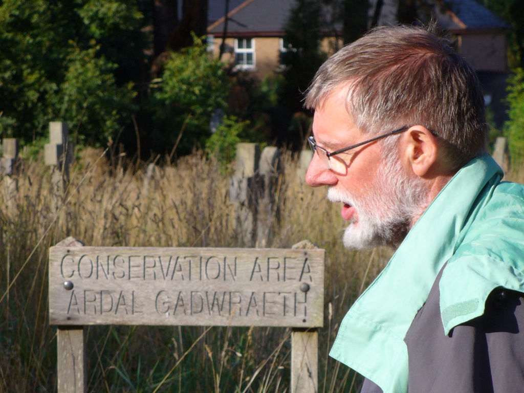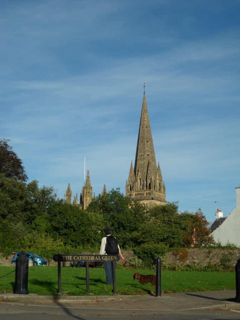
Having got the Galilee Project all wrapped up, Gareth Kiddie and the Llanilltud PCC are now working on a trail from Llandaff to Margam, linking the sites of some of our major collections of early medieval inscribed stones. The route across the Vale of Glamorgan is pretty much sorted thanks to the Valeways project, and I think we have a reasonable route from Llandaff to St Fagans (the new home of the National Museum’s collection of stones and casts). More on that at http://heritagetortoise.wordpress.com/2013/10/06/faith-tourism-faith-in-tourism/ .
So that leaves Merthyr Mawr (a bit more on that at http://heritagetortoise.wordpress.com/2013/07/22/llancarfan-and-merthyr-mawr-faith-in-heritage/ and http://heritagetortoise.wordpress.com/2013/08/12/on-knowing-where-your-towel-is/ ) and Margam, where the collection of stones in Cadw’s little museum is justly famous.
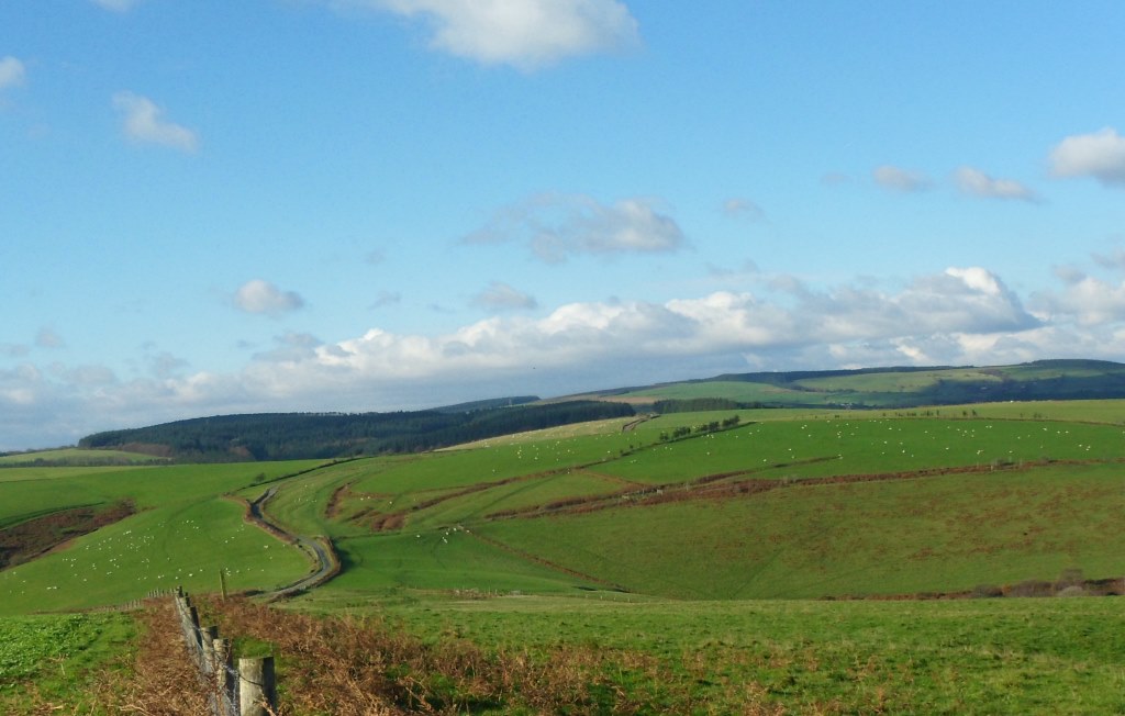
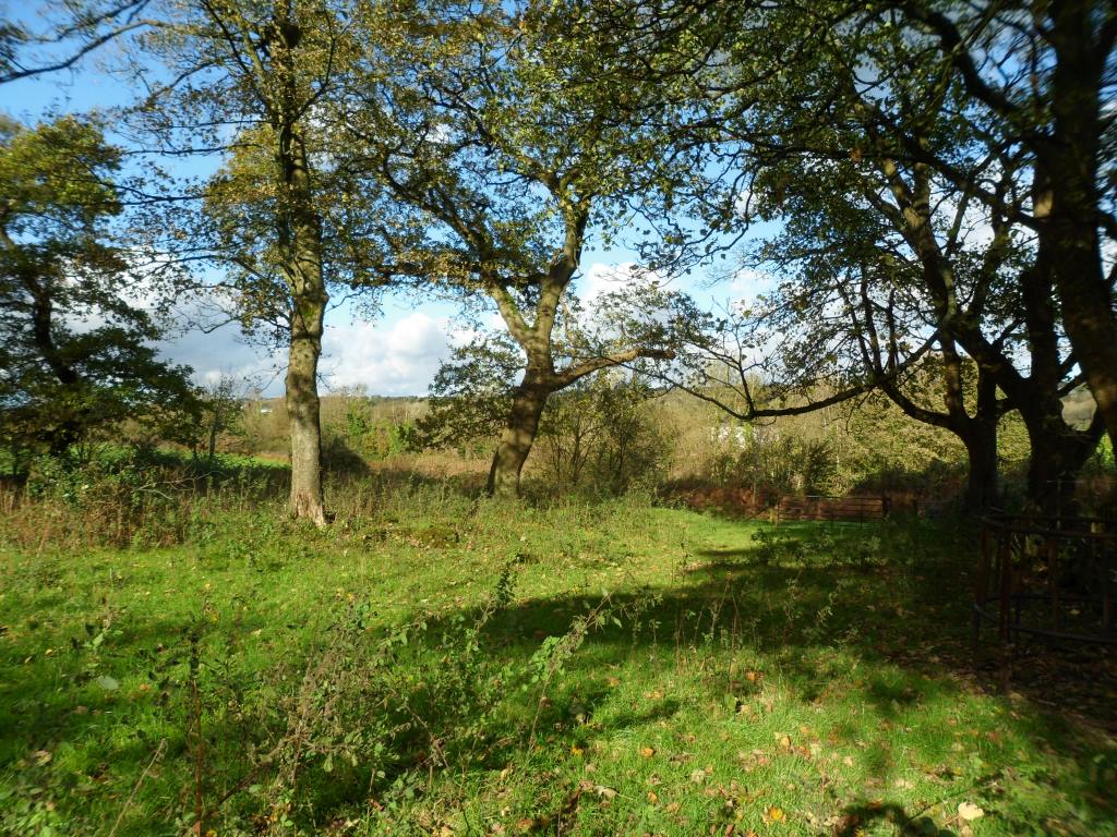
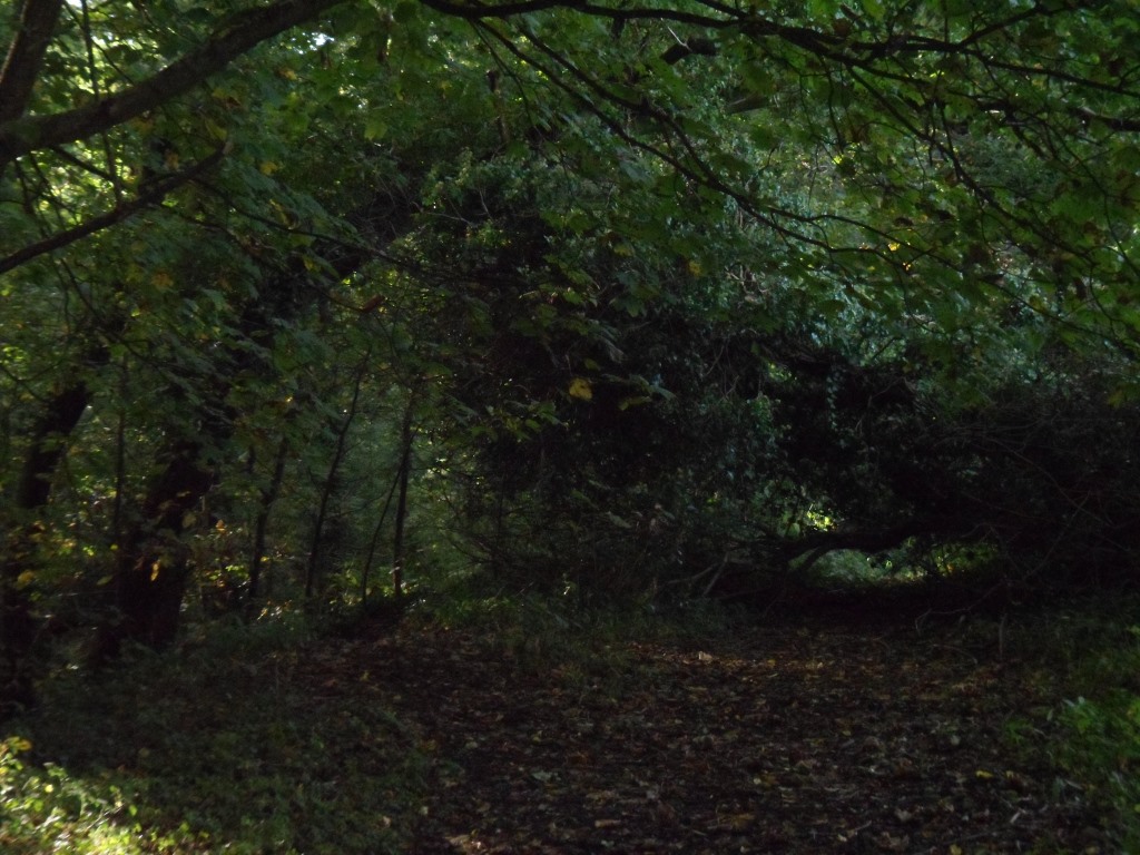
But how to get from one to the other? There’s the coast path … but it isn’t a good section, going through a huge industrial estate. Cara and I were sure we could do better than that …
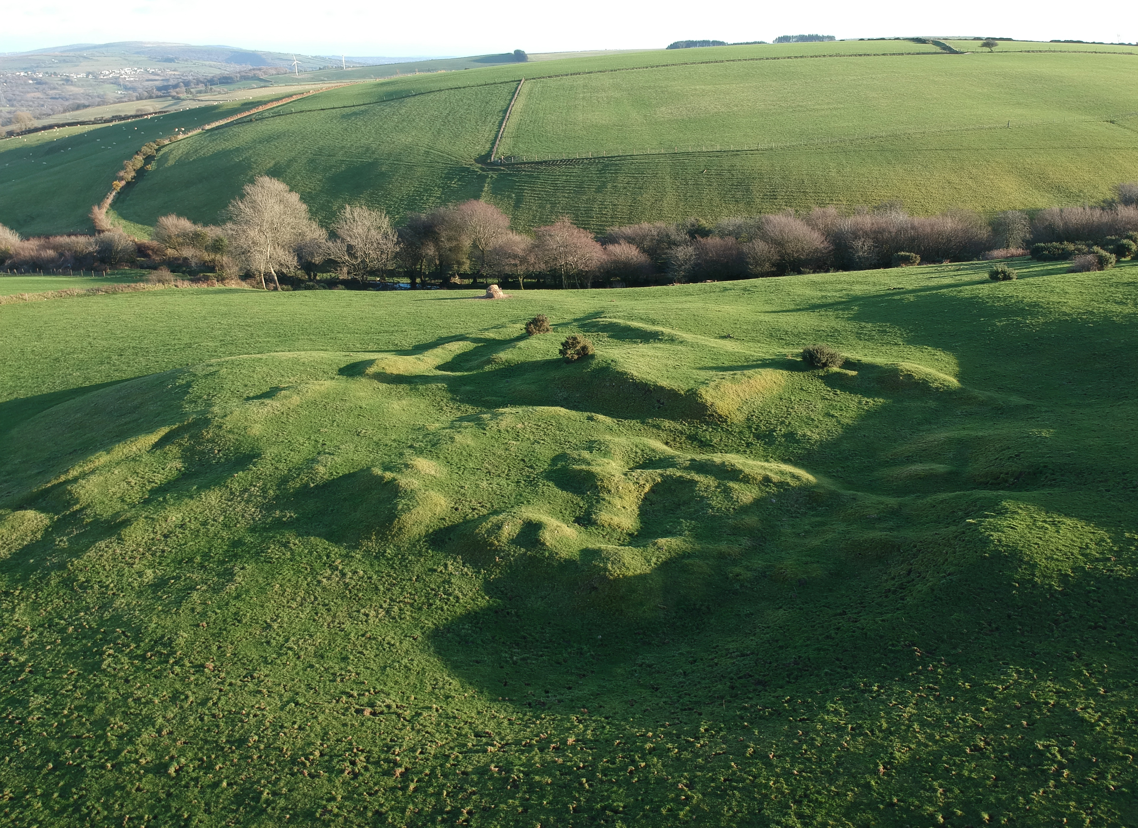
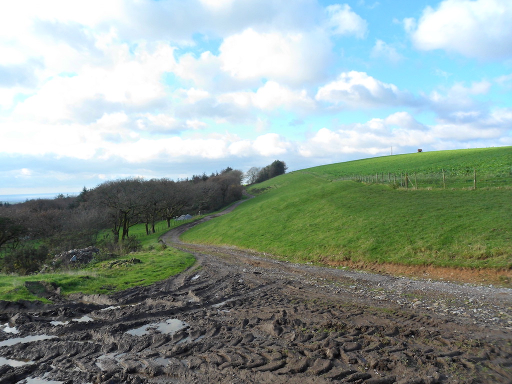
It didn’t start too well. The lane from Candleston Castle up to Candleston Farm is still more like a river
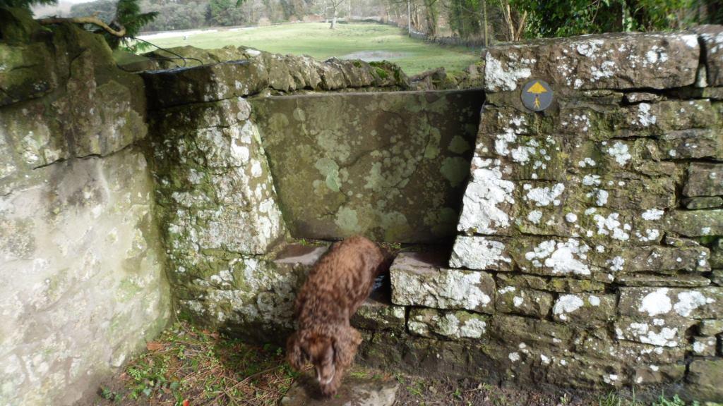
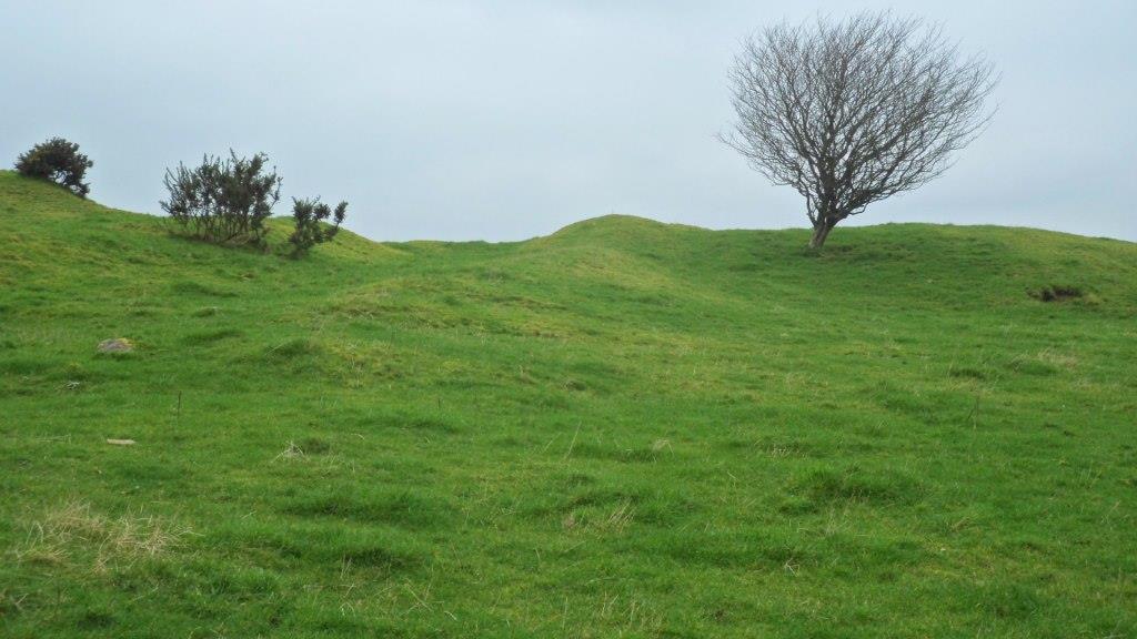
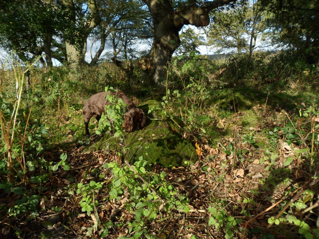
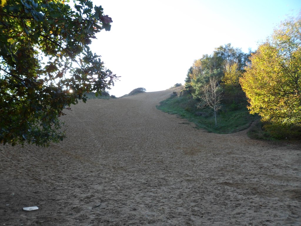
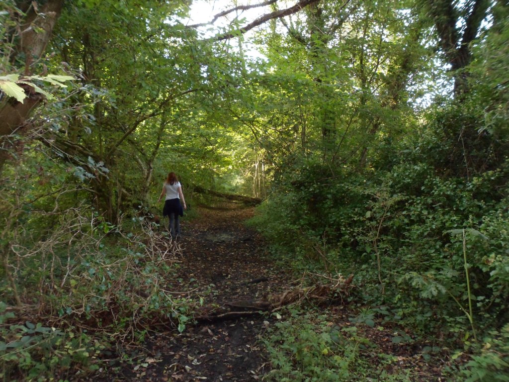
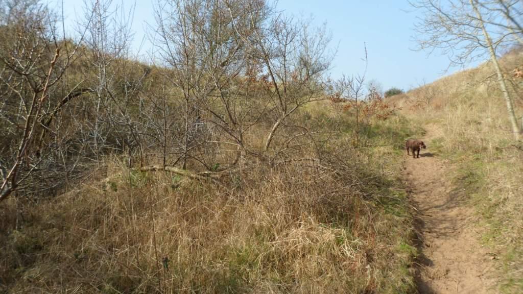
But if you go over the little bridge opposite the castle, the bridleway up through the sand dunes is steep but easy to follow.

The shrubs are sea buckthorn, planted to stabilise the dunes. They are pretty in flower and glorious when the thickets are aflame with berries, but they are savagely prickly and really a bit too vigorous. Keep going up hill, bear round to the right and keep the trees and the line of fence to your right, go through a gate,
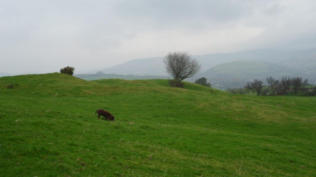
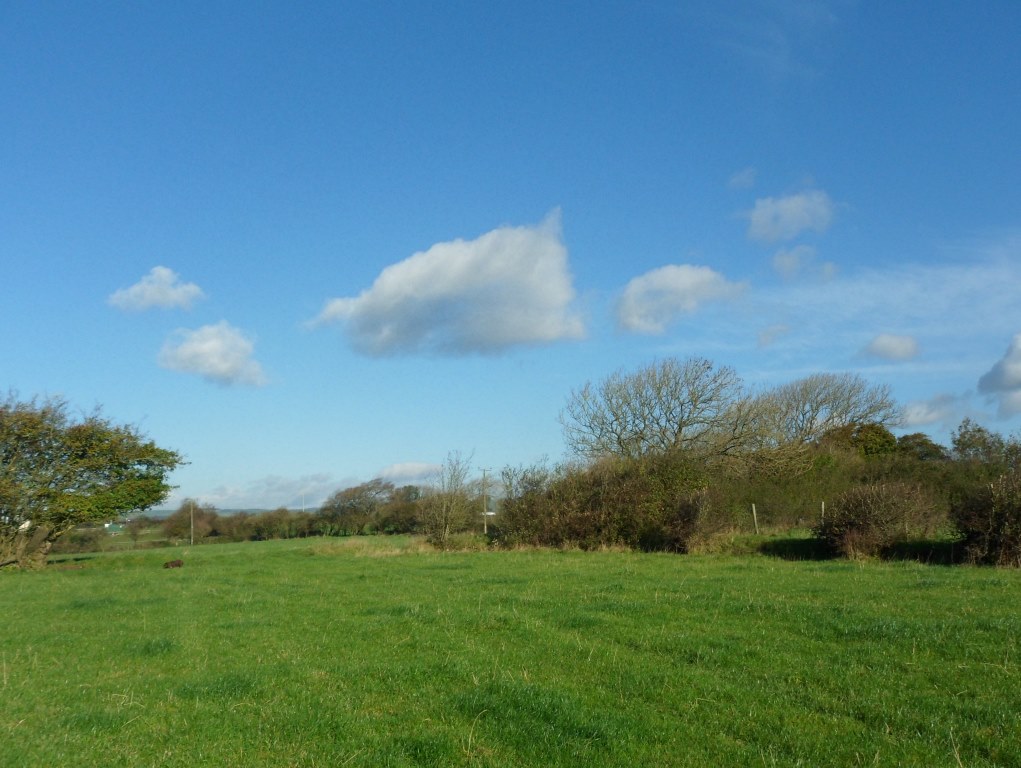
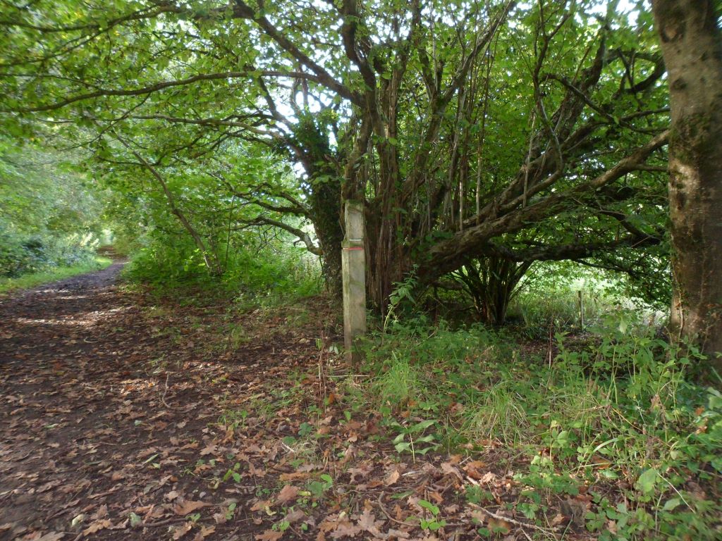
follow the track a little west of north, through another gate
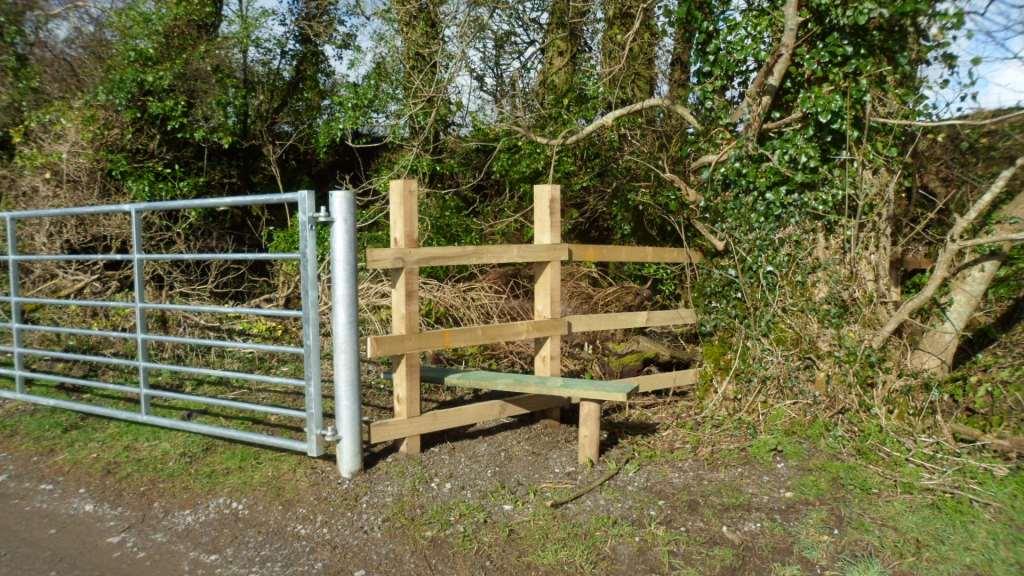
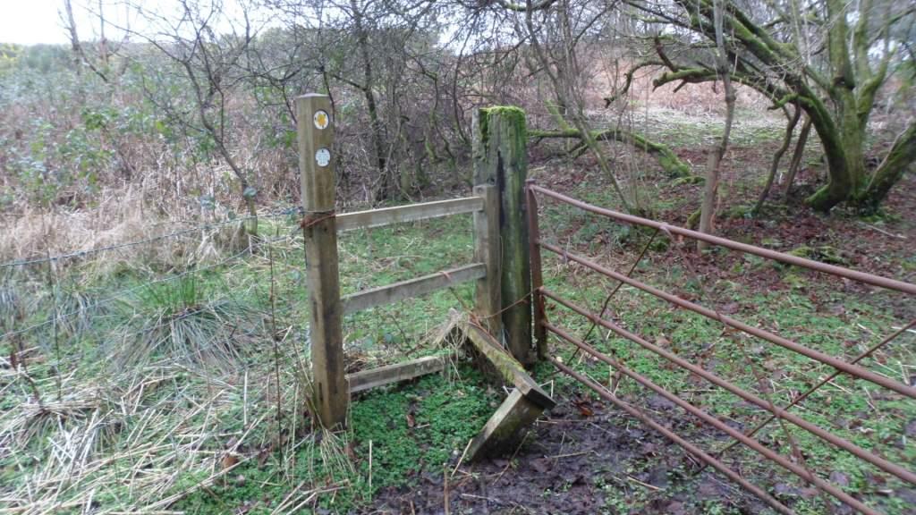
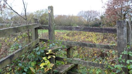
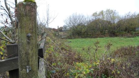
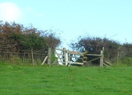
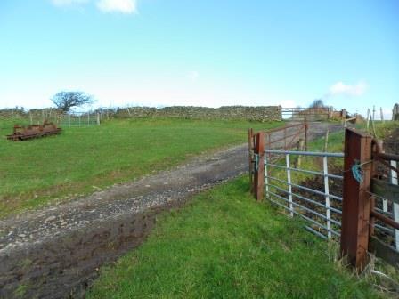
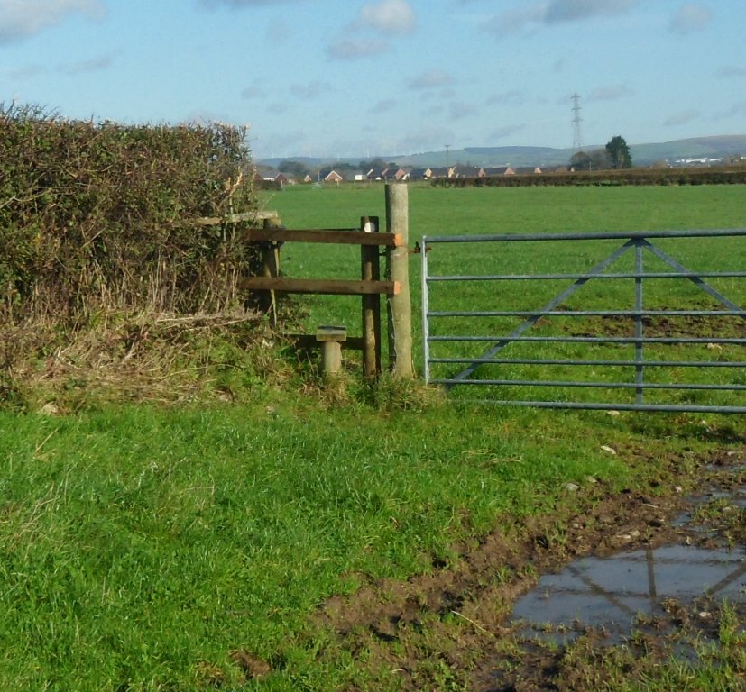
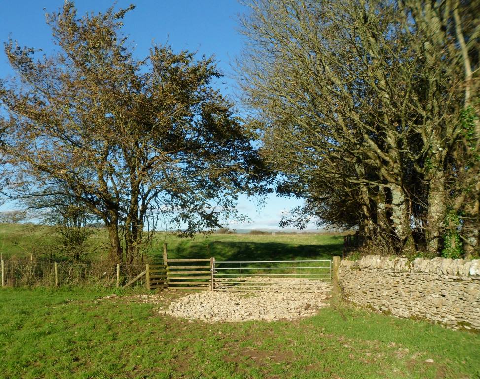
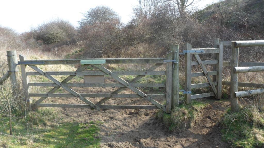
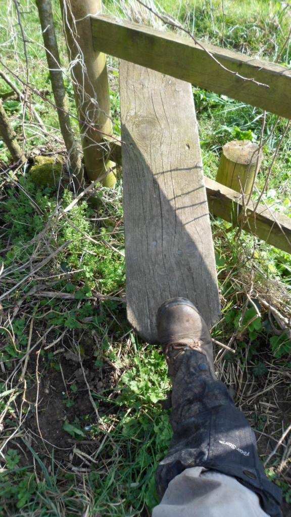
When the track divides, go left and through a gate (or over the stile)
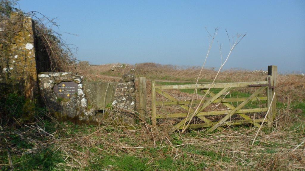
and turn left on a stony lane to Tythegston.
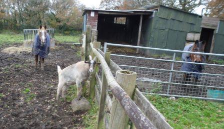
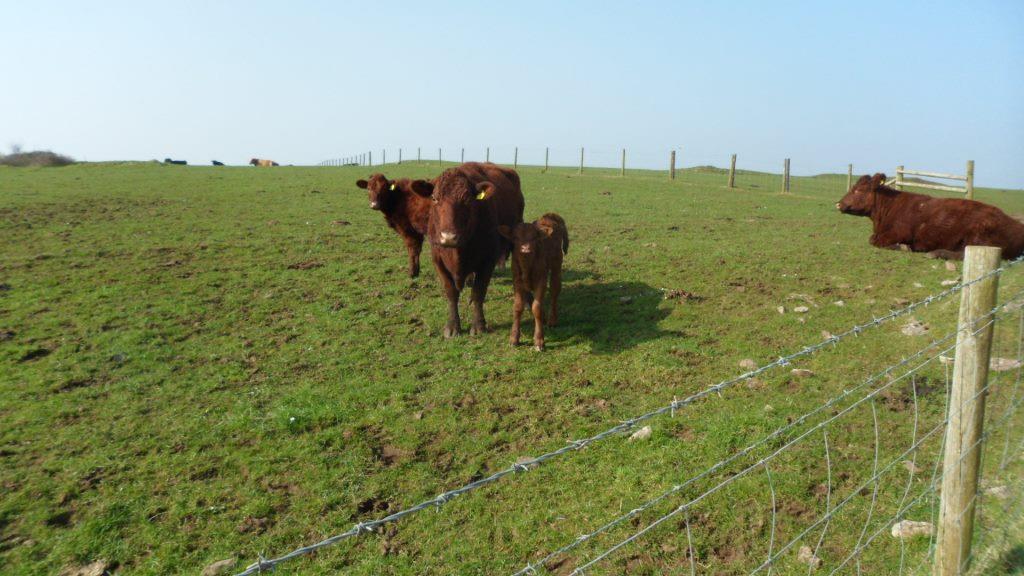
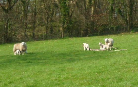
Cute calves in the field
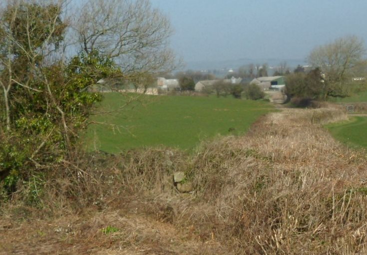
And the view of the church from the far slope
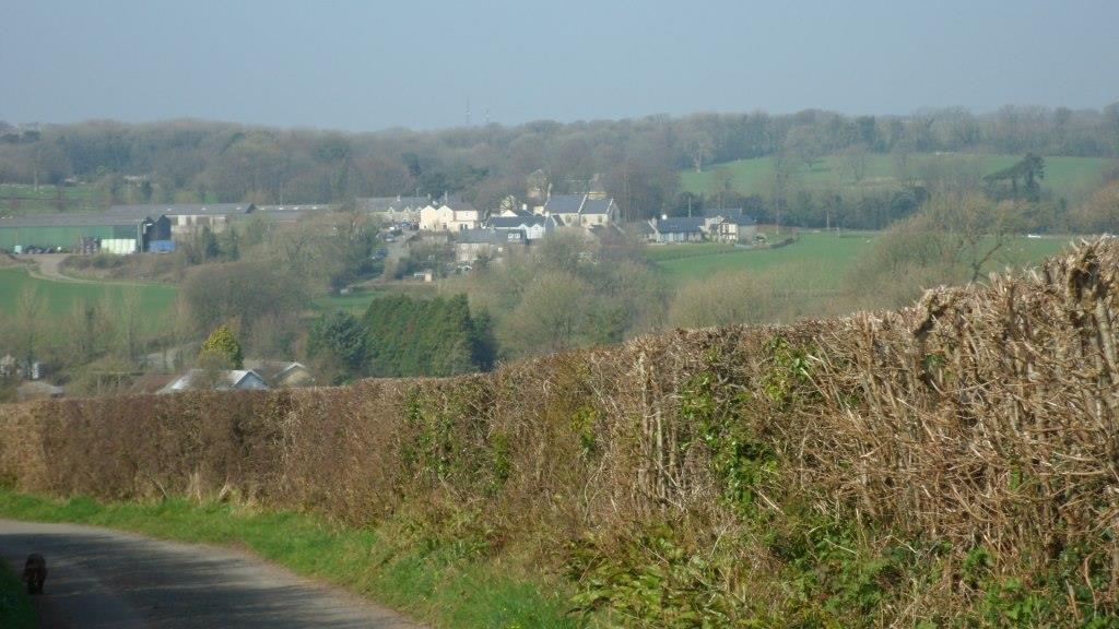
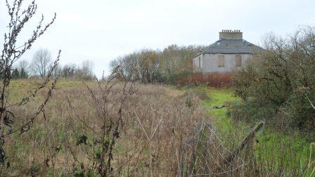
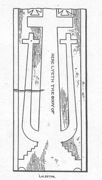
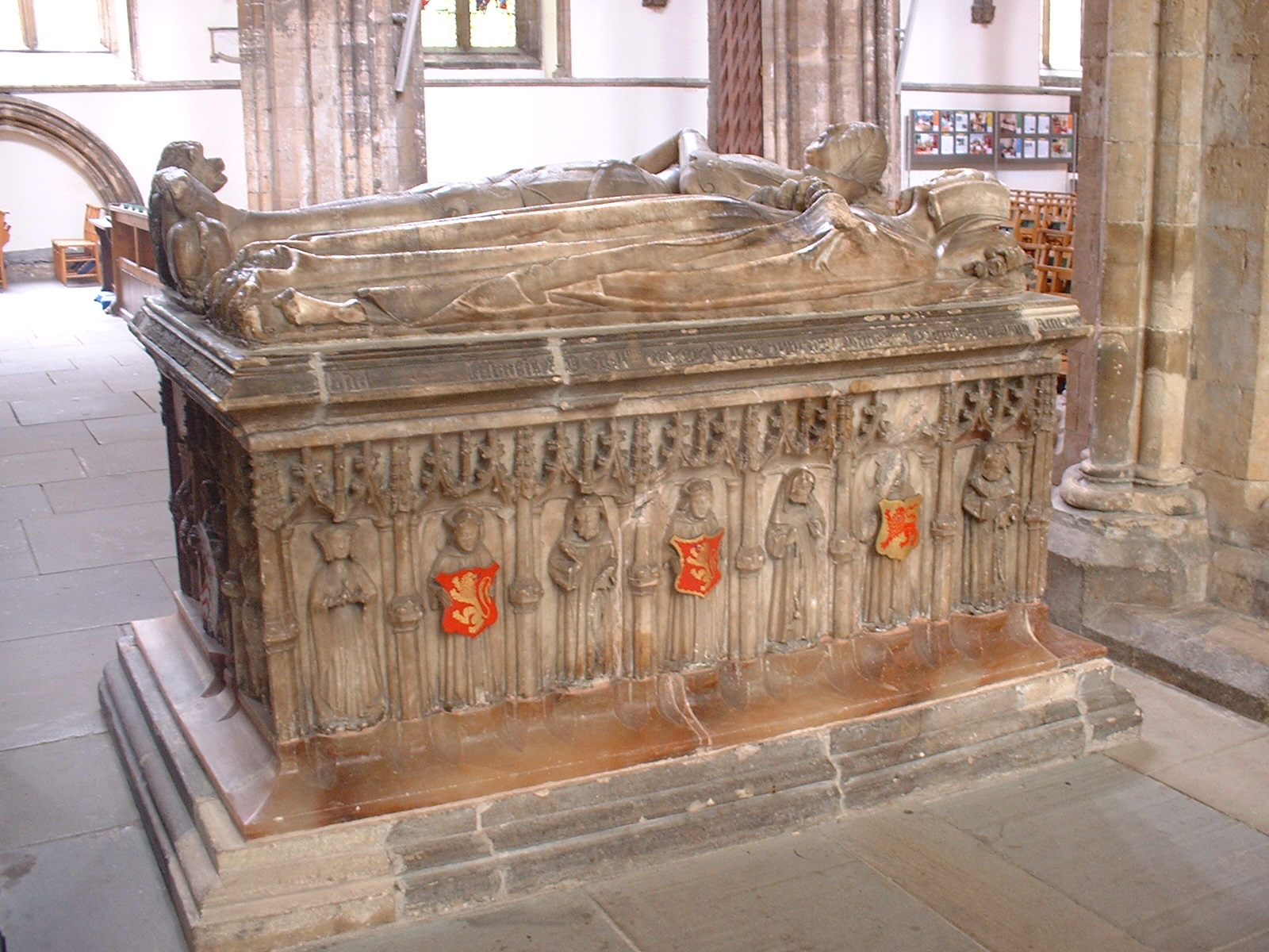
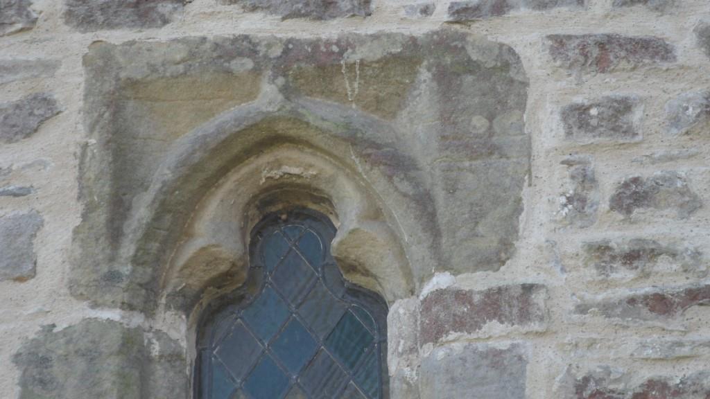
Tythegston is a pretty village with old houses and a pottery. The church is now a wedding boutique (!) but the eleventh-century cross slab is still in the churchyard
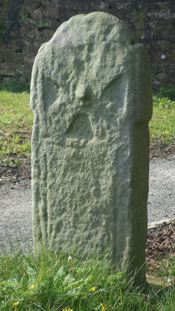
And if you look very carefully at this stone over the north window of the chancel you can just see the shaft of the cross on a later medieval tomb slab.
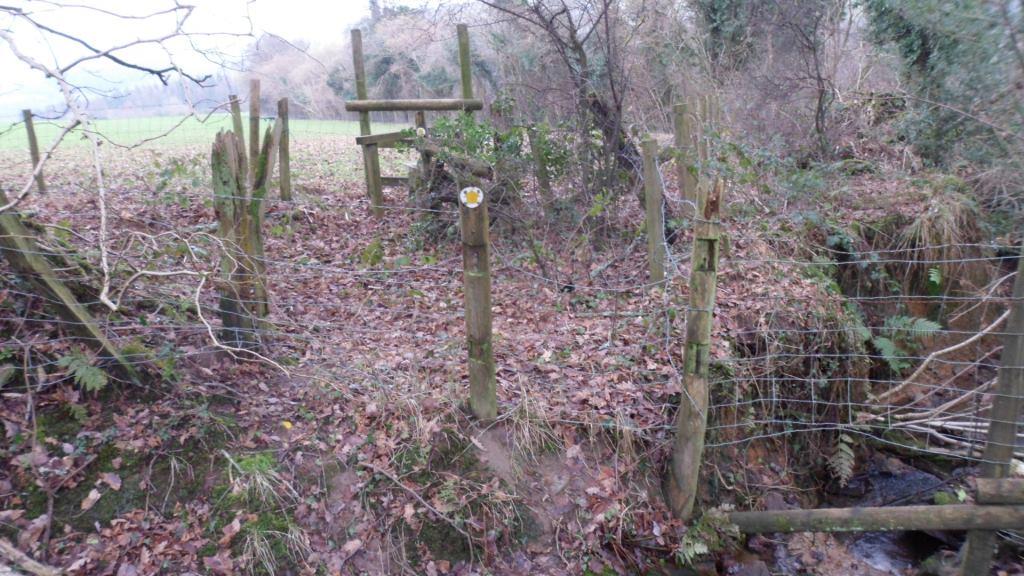
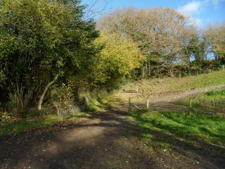
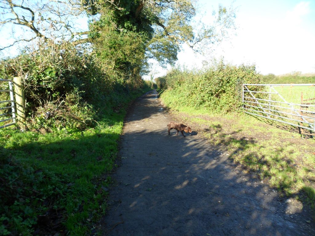
Walk past the cross, turn left on the main road and right immediately along a road marked ‘Unsuitable for motor vehicles’. In a few hundred yards, where a drive goes off to the right, take the waymarked footpath sharp right.
This is stiled and waymarked across the fields – cute lambs –
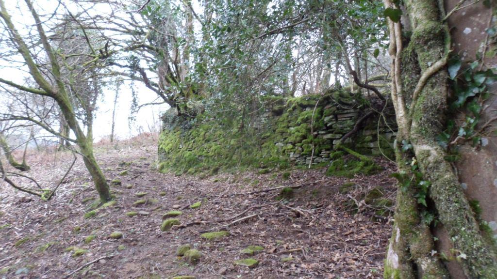
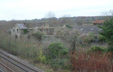
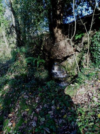
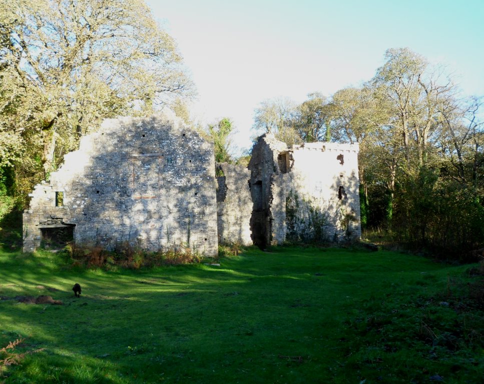
past the ruins of Ty-erfin
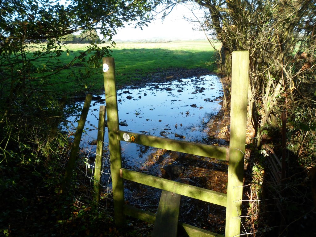
up to the main road and turn left. (The stile here is a bit dodgy.)
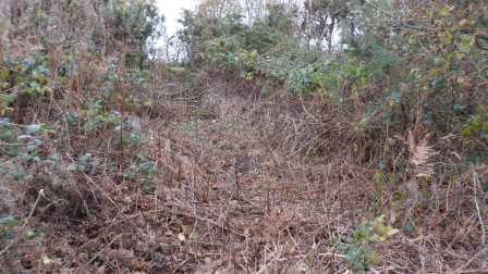
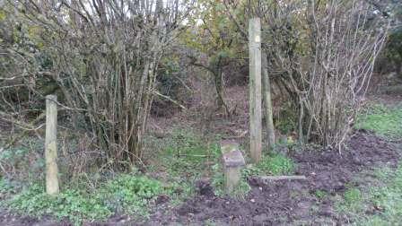
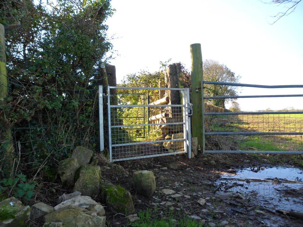
The road isn’t too much of a problem – there is a pavement and a central reservation which makes crossing easy. In a few hundred yards there should be a stile on the other side and a footpath across the fields to Upper Park Farm. There has been some clearance here but the stile is heavily overgrown and unsafe.
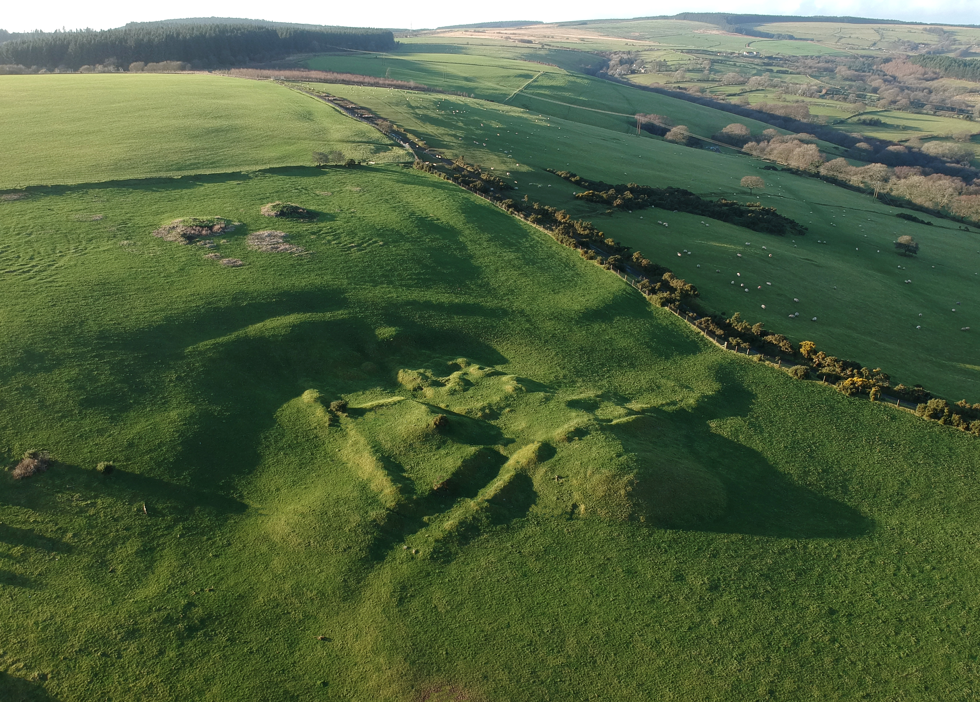
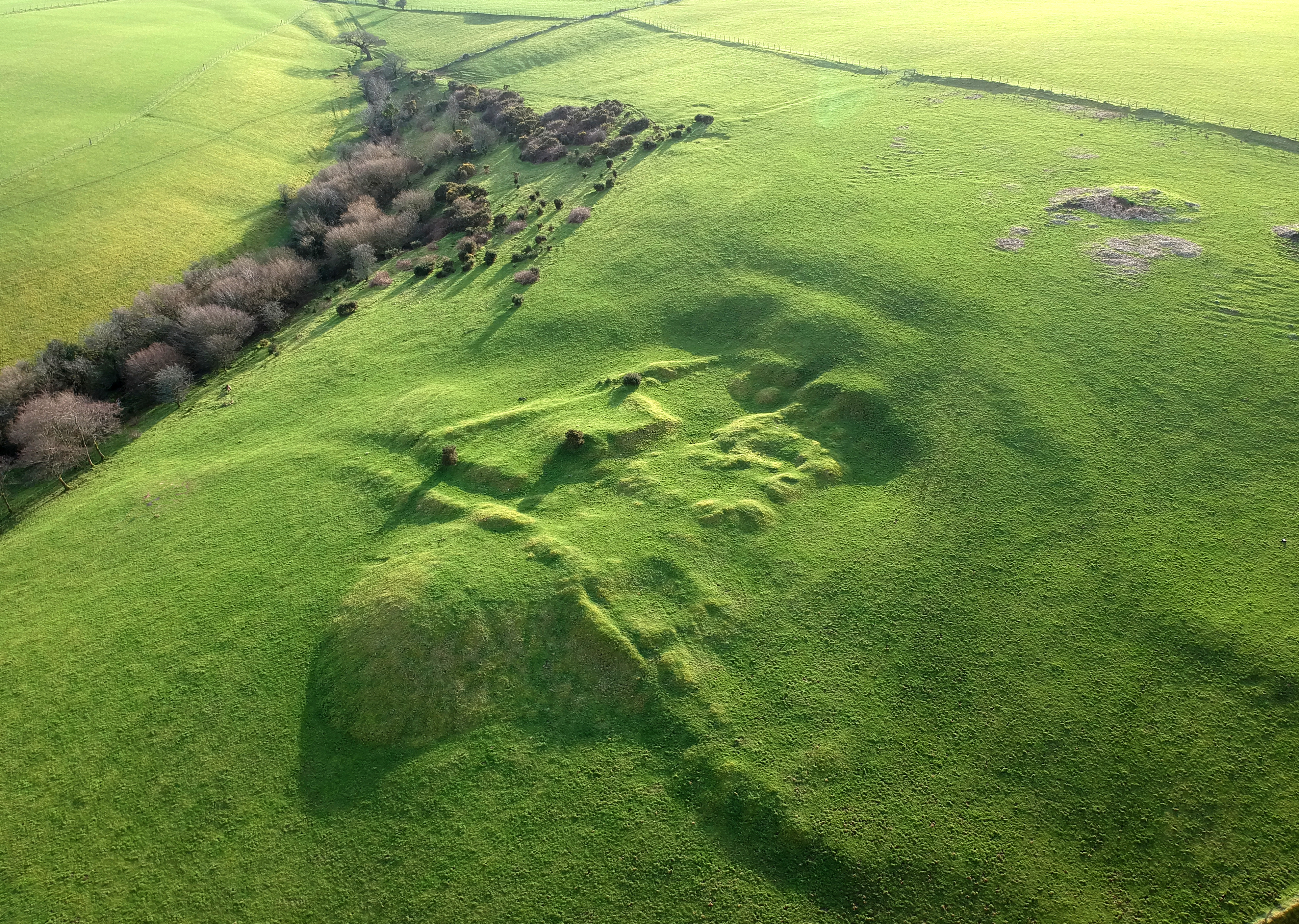
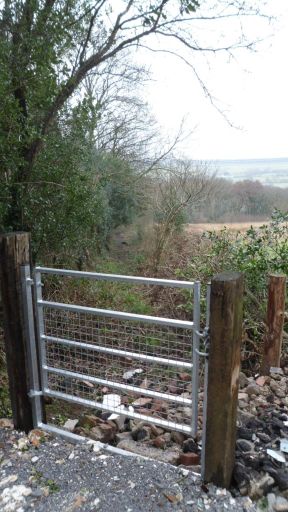
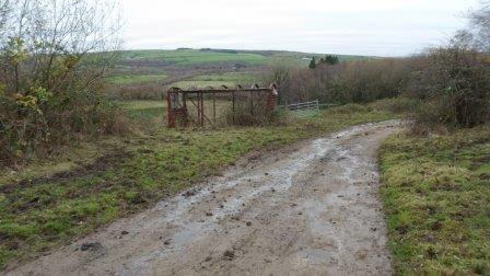
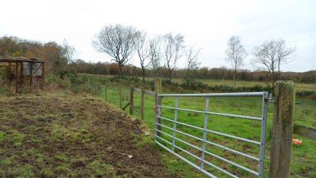
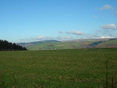
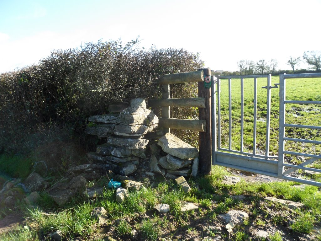
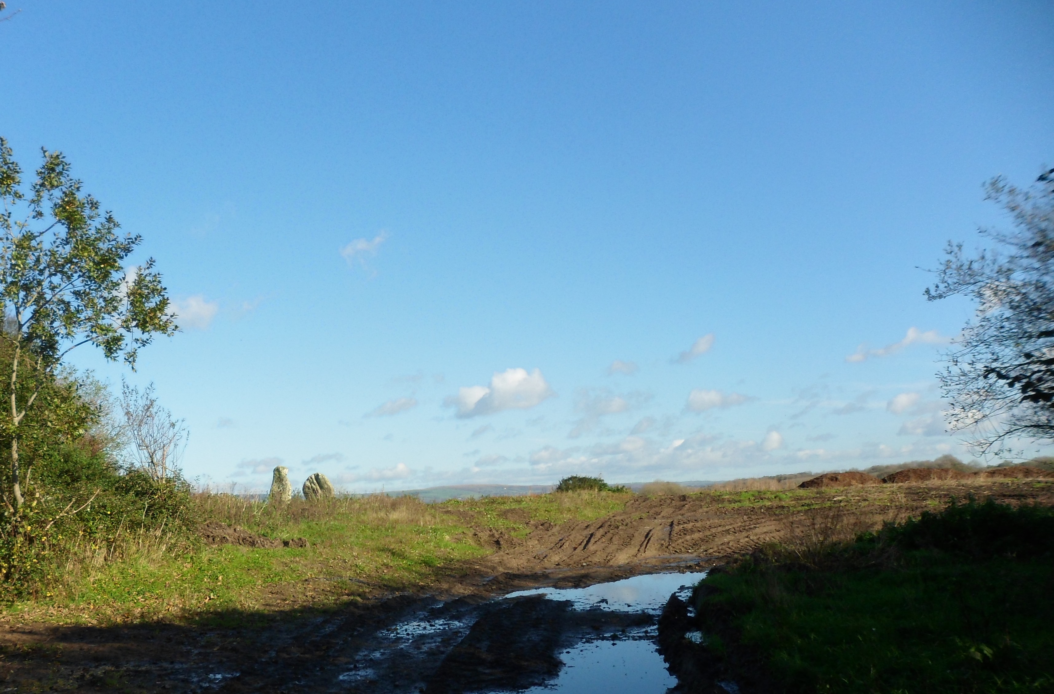
We need to rethink this bit. After Park Farm you can cut across Stormy Down but there are no clear paths and with the bracken up in the summer it wouldn’t be easy. We eventually got back to the road to go under the M4. There is a rough stone stile into a field just beyond the M4 and a spiffy new gate on the footpath through the limeworks

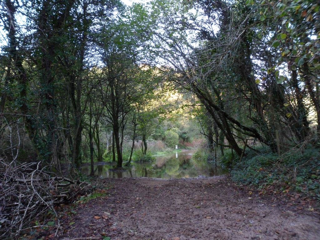
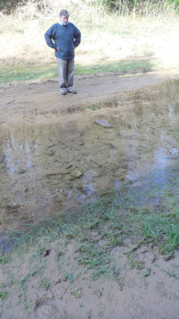
but how to get to it? And how to get through the lake beyond it? We went back to the road. The bridleway north of Stormy Down looks clear – we need to see if we can get to that from south of the motorway.
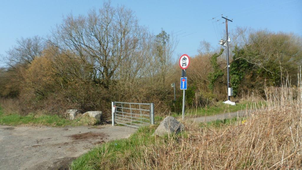
Walk along the minor road and across the railway line. When a track turns sharp right, take the waymarked footpath ahead to the right.
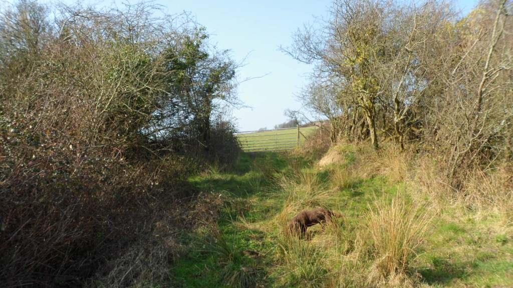
Walk up the field, bearing slightly to the left of the hedge (and keeping to the left of the pylons) to go through a gate.
Continue up the slope with the hedge to your right, go through a kissing gate

and another farm gate. Bear left up the hill to pass to the left of the farmyard at Pen-y-castell – there is an encouraging municipal bench at the top –
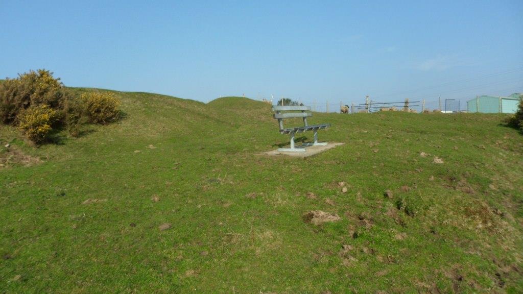
Also a bench mark.

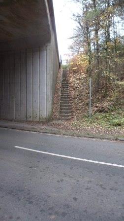
You need to keep to the left of the bench mark and bear left down the slope to a lane between the houses, then turn left on the road. In about 200 yards, just after the church, turn right down School Road. This becomes a metalled lane and goes down steps. Continue straight on. Victoria Road becomes Crown Road. When the road bears right, take the footpath to the left, across a little bridge and up to cross the railway. Bear slightly right across the next field and follow the track along the edge of the fields up to the road.
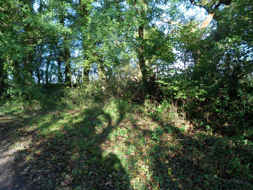
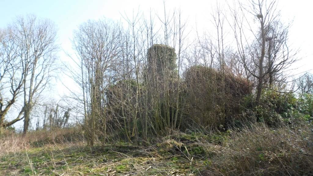
Ahead of you is Hafodheulog Farm. This was one of the granges of the Cistercian abbey at Margam. The name means literally ‘The sunny summer farm’. Hafodheulog is on higher ground that the granges at Llangewydd and Horegrove, and you can imagine the lay brothers bringing the herds up there in the spring. In the woods behind the farm is an even more remote grange, Hafod Deca, where they could have pastured sheep in the summer. Llangewydd, Horegrove and Hafodheulog are still substantial farms but Hafod Deca is a ruin in the forestry plantation. I have a memory of finding the ruins when I was walking up there twenty years ago but they are nowhere to be seen now – did I imagine it?
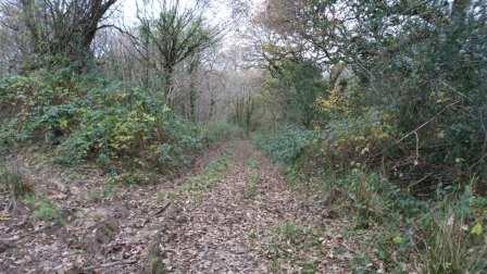
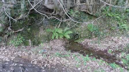
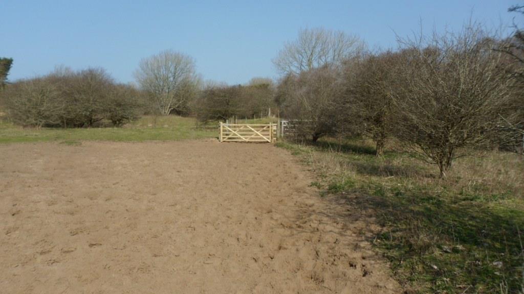
Take the lane to the left of Hafodheulog, go over the stile at the end and bear slightly left across the field to a stile (heavily overgrown when we were there, and the waymark in need of attention!). From here we walked up the lane past Pentre Farm but it was very difficult to find the footpaths to the left of the road. There has been a lot of felling in the forest, and the forest roads are in poor shape after a very wet winter. You have to cross the Cynffig river and there is no footbridge, just a ford. We may have to rethink this bit as well: you could go left after the overgrown stile and walk up the lane to Troed-y-rhiw Farm. From there the track along the edge of the forest and across the fields is fairly clear, though it may need to be kept clear in the summer. The track goes behind Graig-goch and into Margam Park, and you can follow a footpath across the park and out on the road from the Crugwyllt ridge down to the church and the Margam Stones museum.