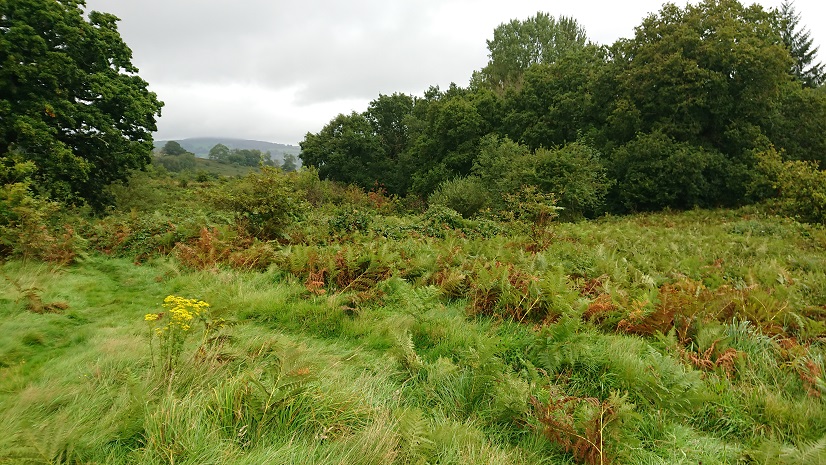
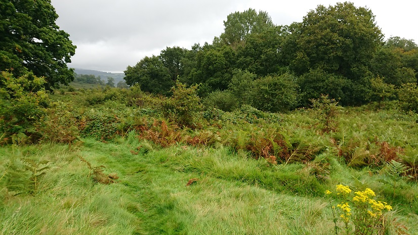
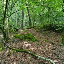
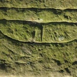
Well, this is another that I must have walked past several times without realising what it was. These foundations under the brambles and bracken
must be all that’s left of Parc y Fan (OK, Park y Van in Wenglish), a substantial farm part of the Plymouth estate. The ruins are at ST 17282 86667, just to the east of the Van house and near the bottom of the footpath down from the Gwernydomen lane to the Nant Gwaunybara.
John Owen remembers ‘substantial remains’ here (see his comments under Treboeth on this blog) but there is little left now.
It was a sizeable farm – 83½ acres according to the tithe apportionment, between the Van and the Nant Gwaunybara. The same tenant also held the area to the east called Van Park, 115 acres of pasture and woodland. By the time of the first edition 6” OS map (surveyed 1875), all the land on the east side of the brook was wooded but this still left a substantial farm of over 80 acres. The buildings are still marked on the modern 1:25,000 map but there is really very little on the ground.
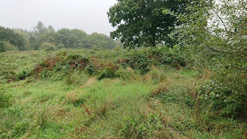
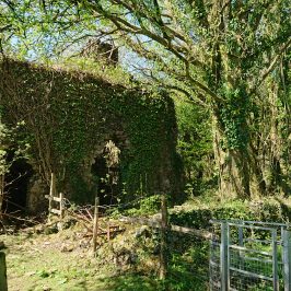
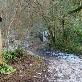
Then there’s this,
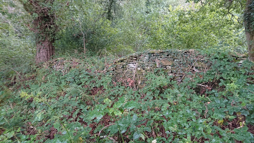
a little to the east and just above the Nant Gwaunybara – but this is clearly a field wall,
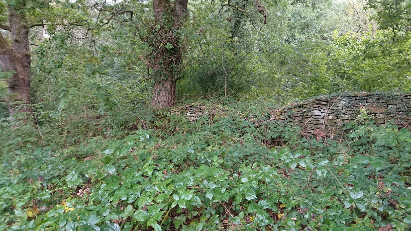
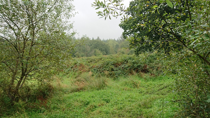
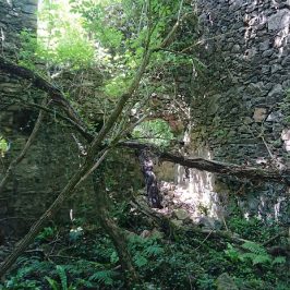
above the steep bank of the stream, and this
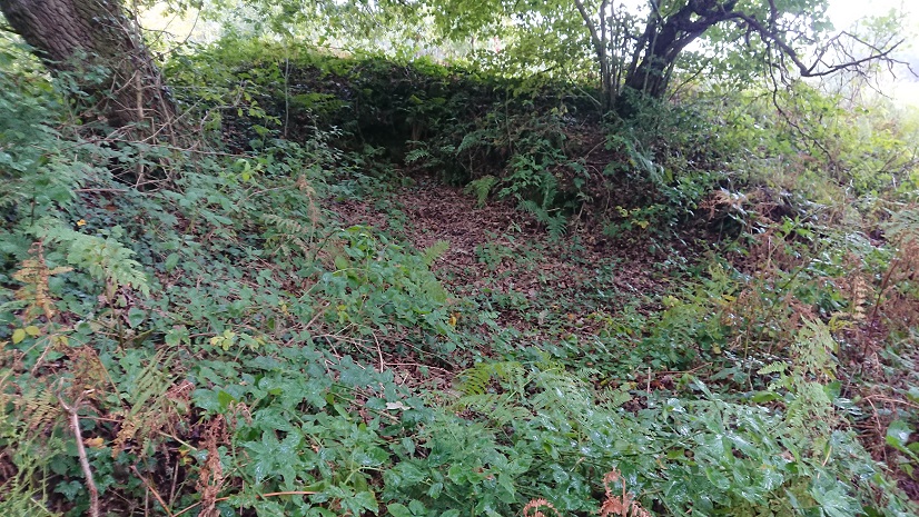
is probably the field angle marked on the early OS. The layout of the buildings at Parc y Fan changes from map to map, and it isn’t clear which was the farmhouse and which the outbuildings. Also there’s a well somewhere above the farmhouse. We need another look when the vegetation has died down.
The name of the farm might lead us to speculate that this was where the park keeper for the Van park lived. The Lewis family emparked a huge area east of the house, probably in the sixteenth century (Rice Merrick described a park there in 1578). The present house of the Van was built in the 1580s. The family then moved to St Fagans and leased the Van to tenants. The park went out of use, and by the time of the tithe plan it was mostly farm land, part of the Van, Gwern y Domen, Maerdy (Mardy Du on the tithe plan) and Park y Van. The park straddled the parish boundary. West of the Nant Gwernydomen was in the Van hamlet of Bedwas (a Monmouthshire parish but with hamlets in Glamorgan – the parish boundaries in this area a very idiosyncratic). East of the stream was in the parish of Rudry. (You get some idea of the problems of surveying these farms by the fact that the road from Caerphilly to Rudry, which is the southern boundary of the farm, doesn’t line up between the two maps.) John Owen has looked at the C18 estate maps in the Plymouth collection in the Glamorgan Archives. They show the park extending south of the present Caerphilly-Rudry road, including the Warren and Ty’n-y-parc (see https://www.heritagetortoise.co.uk/2020/08/the-warren/ and https://www.heritagetortoise.co.uk/2020/05/more-deserted-farmsteads/). So did the road run through the park – or does the road post-date the park? We need to get back to the estate surveys when the record office is open.
Maerdy might be the next one to explore – it was being farmed with Gwernydomen on the tithe apportionment. It’s marked as Maerdy Cottages on the old OS maps but there doesn’t seem to be a house there now. Alas, Caerphilly is currently in lockdown because the number of Covid-19 cases there is on the increase, so Nell and I will have to take to walking somewhere else. Time for a look at the Llandaff-Penrhys pilgrimage route, maybe?
John Owen
Maerdy is an intriguing place, the name suggests the home farm for the centre of a multiple estate, possibly based on a building near the site of the Van Mansion. The various IPMs of the De Clares mention Rudry, Hendrenny , Castell Coch as separate units, manors? This may be frozen remains of a multiple estate , Gla!orgsm County History Vol 3.
John Owen
Some of my great grandparents were Market Gardeners in Lisvane and Llanishen, which has become a catalyst for my own personal research on the drainage of the Cefn On ridge,. There are eleven streams from Tongwynlais to Llanfedw. More than one called Nant Mawr. In some cases the name changed along the route. Some have mills, depending if they run through manors, or villages. Also of interest is the way names change from the 1833 OS Map onwards.
Madeleine Gray
Fascinating stuff. The changing place names thing is so frustrating butinteresting (why did they do it? what sort of changes?) .
I wish my mother was still about – she was brought up at Cefn Llwyd, a farm near Cefn Mably, and would have known a lot of these farms.
john owen
Hi,
Can you help?.
I think the local parishes were established in the 11th century, but I`m a bit confused by the boundaries. the Rhymney river was the boundary between Senghenydd and Gwynllwg. With the arrival of the Normans on the coastal plain there were incursions up the Rhymney Valley. In 1102, Robert de la Haie, the new norman lord of Gwynllwg,appears to have advanced at least as far as Bedwas, I`m assuming he is responsible for the ringwork at Gwern y Domen . He founded, and endowed, a priory at Bassaleg, for the monks of Glastonbury. this was a clas church, which may explain why other churchessuch as Machen and Bedwas were included. The (old), Monmouthshire parishes of Micahelstone y Fedw, Machen and Bedwas, have hamlets on the Glamorgan side of the river. With Bedwas, its the halet of the Van, in which the ringwork is located. So, when these parishes were established, did the new kids on the block, people like Robert de la Haie, ignore the existing Welsh political boundaries, and establish the parishes innewly conquered lands, and did the parishes reflect potential manors, for want of a better word. By the mid 12th century, the Welsh had recovered most of the lower Rhymney valley, but the parish boundaries remained the same.
2. My great grandparents, and wider family, had market gardens in Lisvane and Llanishen, they lived in a cottage called Brookside, so, as one does, I began interested in the brook, and eventually, the drainage of the Cefn On ridge, there are 13 streams from Nant Garw in the west, to Nant y Draenen in the east, about three quarters have mills associated with them, but that`s another story. I`ve become interested in the Llwyn y Grant area, to the east of Cyncoed, I had other family livng in Llanerdeyrn. Its hard to find any information. Like, about half of Kibbwr, it was given to an English monastery, William Rees says in this case to the Canons of Bristol, as part of Llanborda. All I can find is reference to a chapel of Llanborda, and an old chapel and graveyard, are shown on the First Edition OS Map. Later there were three farms, Llwyn y Grant, Llwyn y Grant Uchaf, and Llwyn y Grant Isaf, which sound suspiciously like a small estate. Looking up the Schedule of Place Names on British History Online, it suggests the Grant element refers to a minor Norman family. Do you know any mor about the area?
Phil
Hi John
I noticed you made mention of the Llwyn y grant farms. I’ve been doing my best to research the farms that occupied old llanedeyrn/Pentwyn. You said you had family that were from that area. Do you happen to know of any photographs that exist of the farms?
I have one old photo of Llwyn y grant Uchaf and that’s it?