First post on the new (renamed) site – there wasn’t enough room for all the blog posts and photos on the web site. So the wonderful Sarah Chong is going to reorganise my blogs, keep this one for the Cistercian Way, create another one for tomb carvings and related matters, and keep everything else on the web site. Two project blogs and three web sites – will I ever keep track of it all?
So instead I went walking. Last summer with the Rhondda Cynon Taf tourism and footpaths team I spent some time looking at routes from Penrhys up the ridge and down into Ton Pentre (it’s all on the blog but I can’t put links in just yet). The plan was to get the footpath down the slope from the wind farm to the lane above Ton Pentre waymarked in order to reinstate the footpath which had been damaged by a landslip. Unfortunately we then learned that the area of the landslip hadn’t quite settled yet – so walking through it might not be recommended.
This leaves us with two possible alternatives. Up the ridge, down the bridleway from the top of the windfarm, down Cwm Bodringallt and along the track above the houses of Ystrad Rhondda; or on up the ridge and down the old Maerdy road through the forest. Both start at the statue, take the road round the west of the estate, and turn left on a roughly metalled road at the top, between the sub-station and what remains of the sports centre, at grid reference ST 00027 95074. Walk up the metalled road and bear left along the forest edge. The road becomes a rough track along the ridge. Follow it bearing slightly west of north with the fence and the wind farm to your left. This is an exhilarating walk along the ridge between the two Rhondda rivers with larks singing and buzzards wheeling overhead. (Gwilym Tew, the poet who wrote about the shrine at Penrhys in the late fifteenth century, had a very odd image in which he described the infant Jesus in his mother’s arms, first as like a hawk then like a lark –
A’i Mab ar ei dwrn, medd swrn a sydd
Ymyl ei hadain mal ehedydd
it’s often hard to work out just what Gwilym Tew was getting at – to be honest, he wasn’t a very good poet and the complexity of the Welsh rules of cynghanedd often seem to have defeated him – but it’s nice to see him drawing his imagery from the actual landscape round the shrine.)
At about SS 99221 96229 you cross the road to the wind farm. At SS 98589 96828 a gate in the fence to your left leads to the bridleway down Cwm Bodringallt.
For the ridge route, keep on to the right of the forest. At SS 97472 97377 the track goes through a gap in the fence ahead of you and into the forest.

At SS 97322 97446 a muddy track crosses the ridge route.
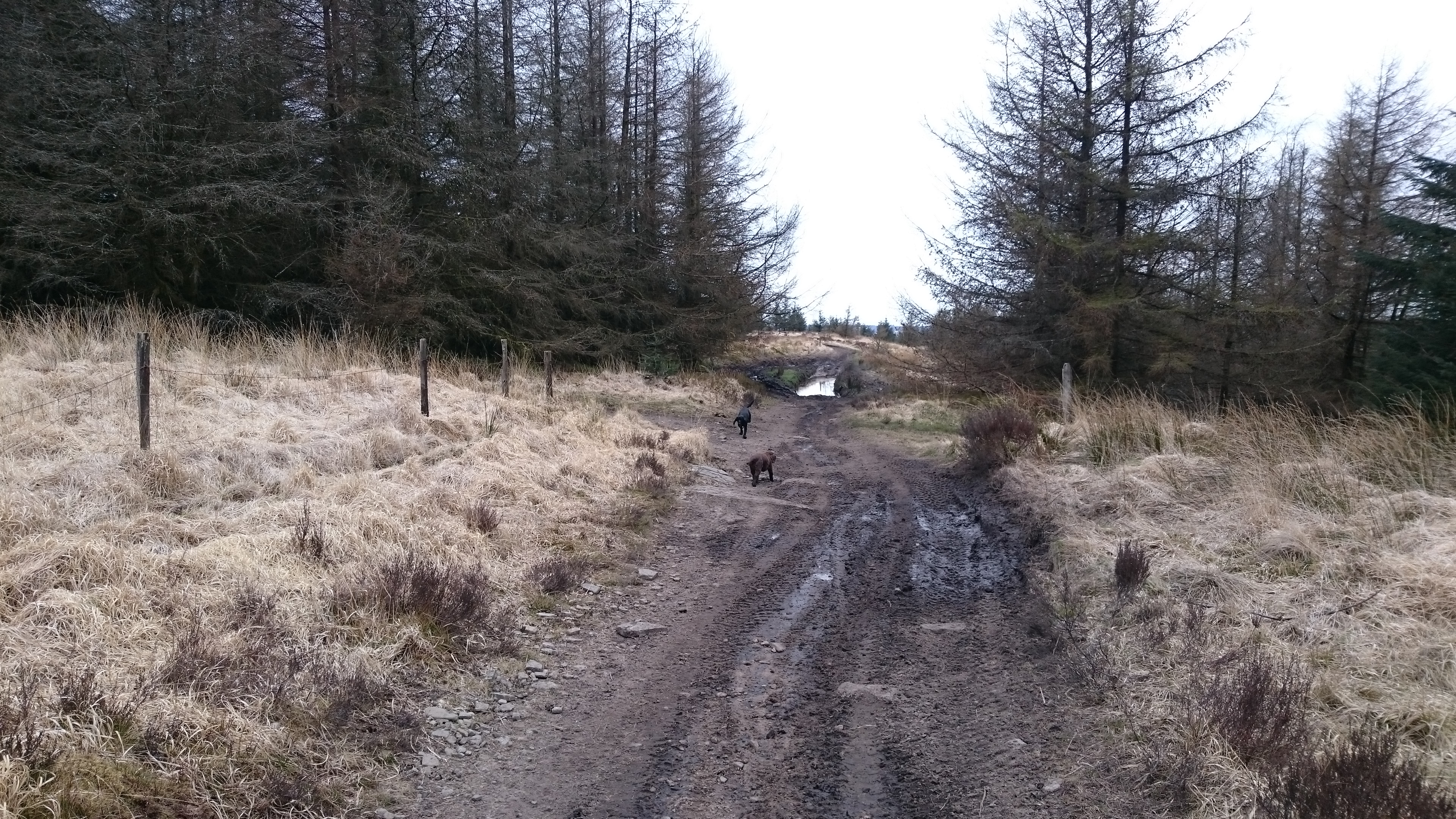
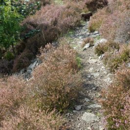
(There is a dilapidated and unmarked waymarking post to the right.) Turn left and walk through the trees along a track which has been worn into deep ruts by off-road riding. At SS 97379 97209 cross a forest road and continue on the same line, bearing a little to the left and steeply down hill.
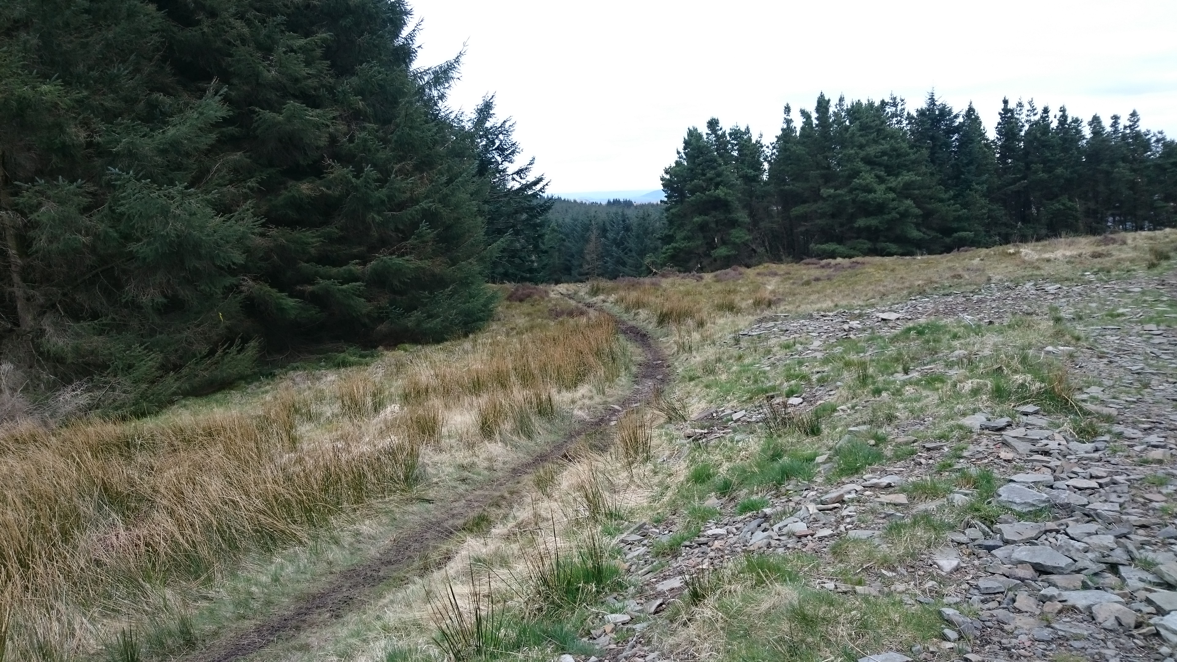
This is the old road from Pentre to Maerdy – it could never have taken wheeled traffic but packhorses and colliers walking to work would have used it. It goes steeply down to cross a little stream, follows the stream for a bit

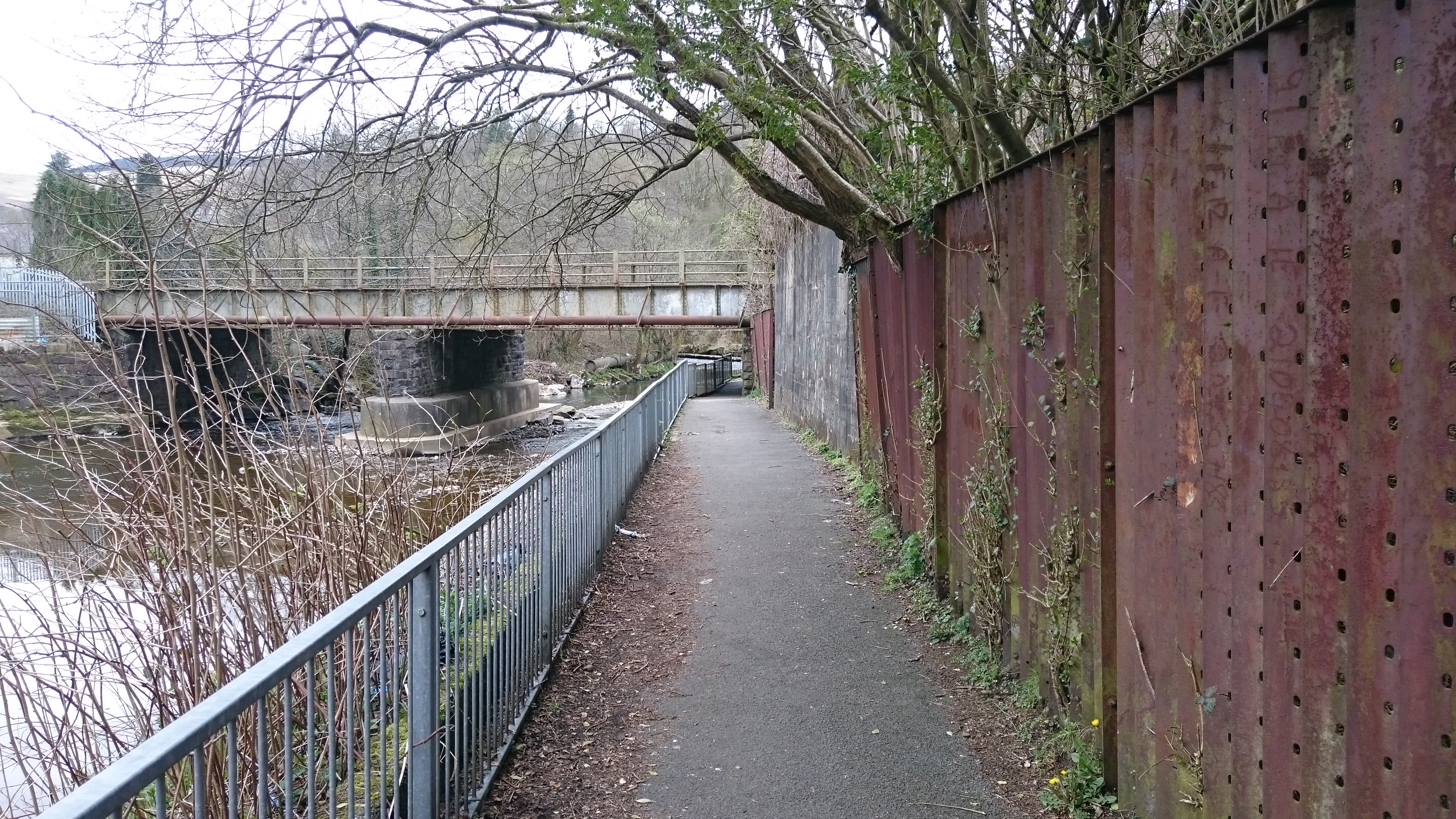
the bears away to the right. The woods above Pentre church are full of laurel and rhododendron – was there a big house here? The path bends back to the left then turns left at the churchyard wall. Pentre church is the ‘Cathedral of the Rhondda’, its tower dominating the valley. Walk down past the church, turn right on the main road then left on Elizabeth Street. Walk down to the river, cross the footbridge and turn left on a metalled path which takes you under the railway line and up to the main road.
Turn left and follow the main road for about .4 km then turn right at the police station and walk up The Parade. This becomes a roughly metalled road, then the track over Mynydd Maendy.
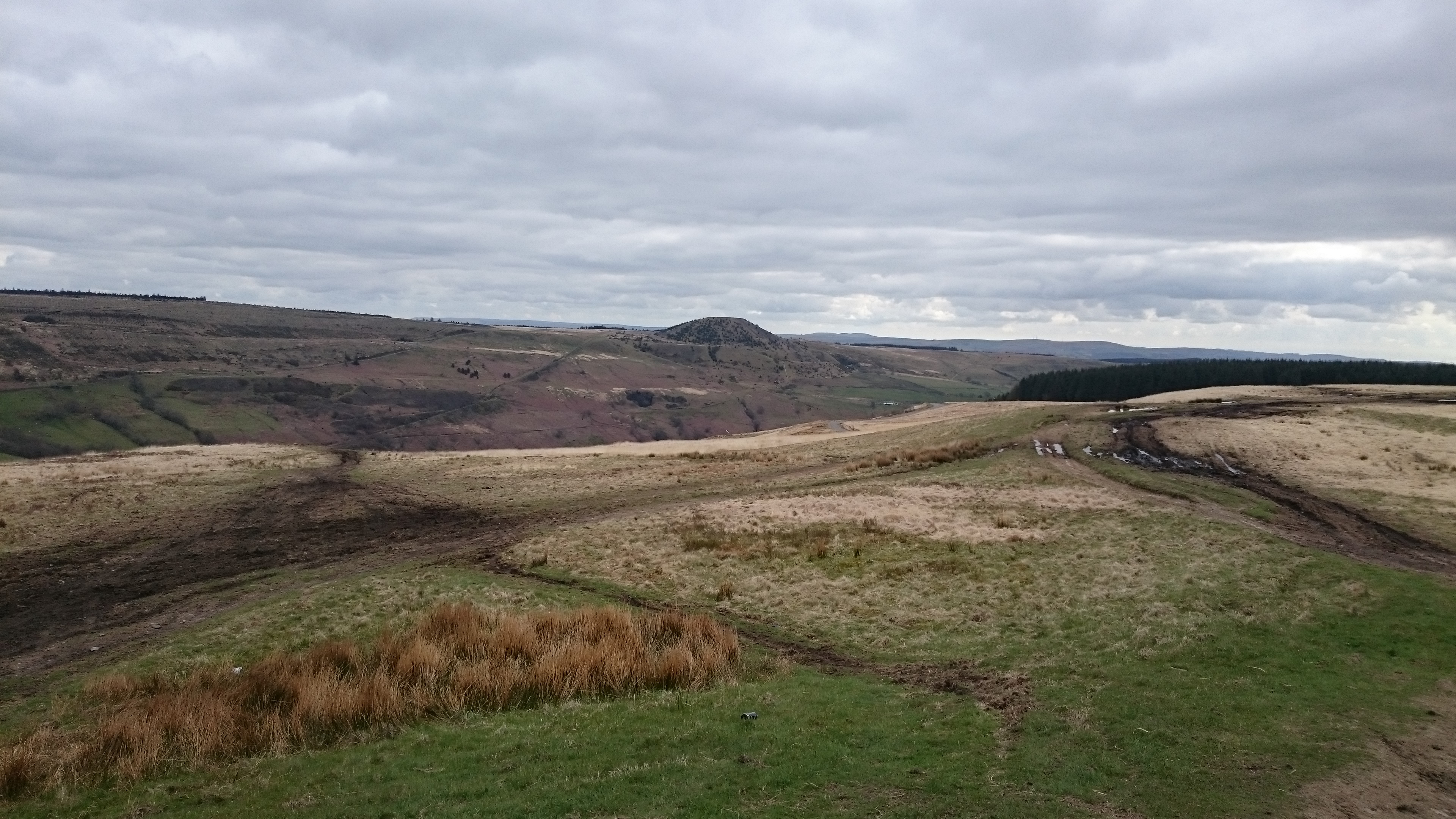
The route up the ridge is certainly the fun choice. The track is peaty, badly eroded and gets a lot of scrambler and 4×4 use. Nell liked the puddles.
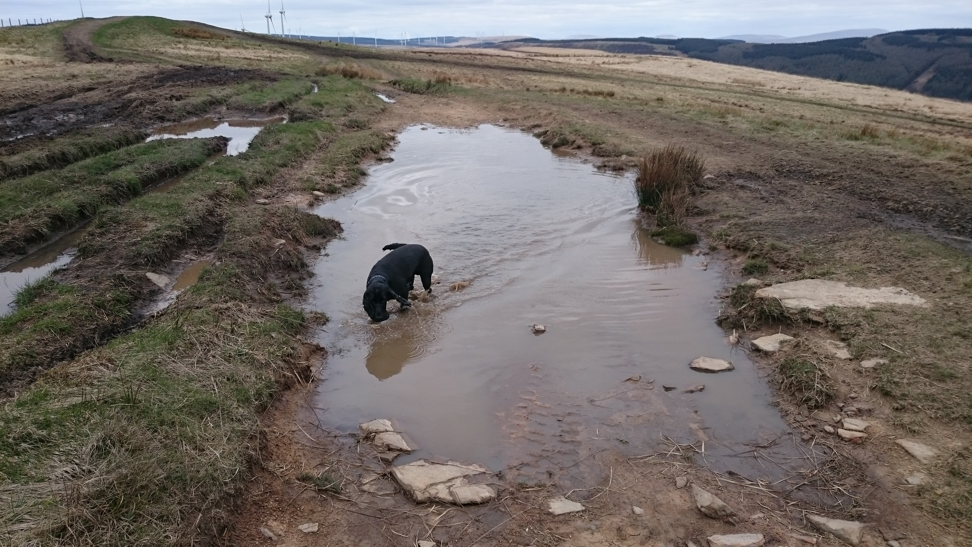
Probably as well she’s peat coloured anyway.
It’s quite hard going underfoot but the views from the top are spectacular – Pen y Fan, Corn Ddu and Cribyn

round to the Black Mountains
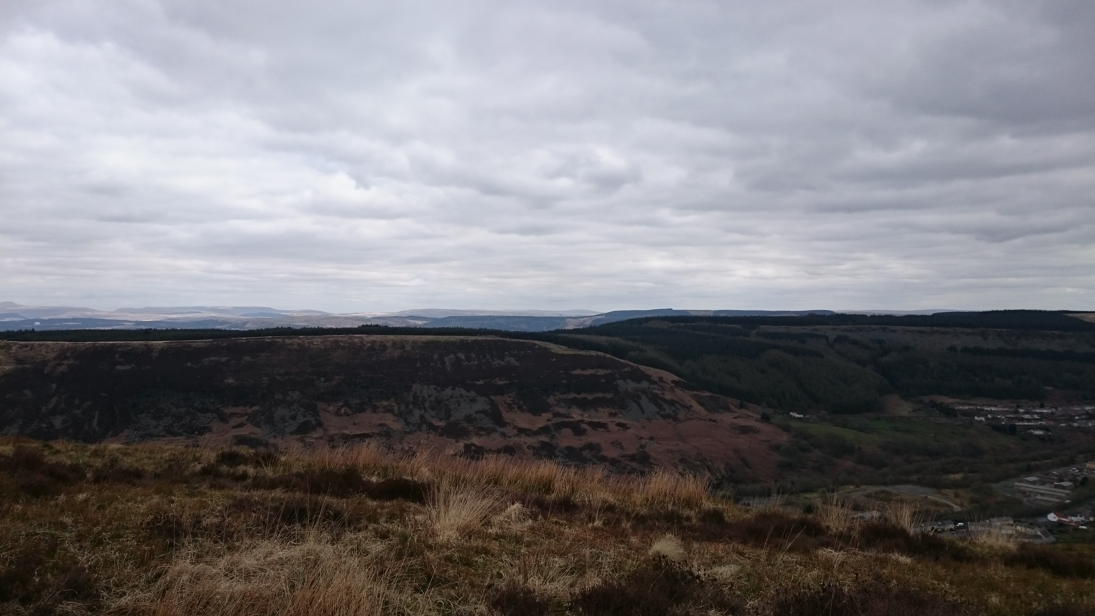
down the Rhondda Fawr

the Maerdy valley
 and the squat majesty of Tylorstown Tip.
Also old stone walls striding across the hills

and some totally unphotographable Bronze Age burial mounds.
The track down to Pentre is pretty but very rough under foot and very very steep – it’s a long pull up the ridge only to lose your height very rapidly in the woods. And it’s about 2 km longer than the route down Cwm Bodringallt. We’ll try that one again next and see how it goes.


0 Responses