Llangybi: several generations of wall paintings

Our annual field trip up the Usk to Llangybi: we can get there, look at the medieval wall paintings and the holy well and get back within a 2-hour lecture. This year, the church was more than usually mysterious in the mist:

Image

The south wall is full of building history:

Image

probably a sixth-century church of wattle and daub, rebuilt in stone by the Normans but rebuilt again in the fifteenth century. Why? – partly the ravages of a century of economic crisis, partly the enthusiasm of local people for beautifying their place of worship.

Inside there is much to look at:

Image


The stairs to the destroyed rood loft

Image

lit at the top: the lofts were used for singing part of the liturgy, and sometimes for readings.

Image

The famous wall painting of the ‘Sunday Christ’ is virtually unphotographable – it’s easier to understand from this sketch hanging underneath.

Image

And why is this instructional painting, a warning against sabbath-breaking, in the chancel? Was my former student Eluned Martin right – did it mark the location of the Easter Sepulchre?

In the nave, another warning: the Weighing of Souls

Image

but to encourage you, the Virgin Mary is shown placing her rosary in the balance beam to weigh it down on the side of salvation.

These wall paintings were limewashed over at the Reformation and replaced with texts: the Creed

Image

and the Ten Commandments actually over part of the Weighing of Souls

Image

Finally, at the west end, a puzzle:

Image

the font, dated 1662 and decorated with the coats of arms of local families.

Image

The medieval font must have been destroyed during the Civil War and this replacement celebrates the restoration of both monarchy and Anglican church in 1660. In the end, Archbishop Laud got all he wanted: but of course he had been executed in 1645.

(Many thanks to Claire Lindsey McGrath for the photos)


“Celtic Stones”

Having got the Galilee Project all wrapped up, Gareth Kiddie and the Llanilltud PCC are now working on a trail from Llandaff to Margam, linking the sites of some of our major collections of early medieval inscribed stones. The route across the Vale of Glamorgan is pretty much sorted thanks to the Valeways project, and I think we have a reasonable route from Llandaff to  St Fagans (the new home of the National Museum’s collection of stones and casts). More on that at http://heritagetortoise.wordpress.com/2013/10/06/faith-tourism-faith-in-tourism/ .

So that leaves Merthyr Mawr  (a bit more on that at http://heritagetortoise.wordpress.com/2013/07/22/llancarfan-and-merthyr-mawr-faith-in-heritage/ and http://heritagetortoise.wordpress.com/2013/08/12/on-knowing-where-your-towel-is/ ) and Margam, where the collection of stones in Cadw’s little museum is justly famous.

But how to get from one to the other? There’s the coast path … but it isn’t a good section, going through a huge industrial estate. Cara and I were sure we could do better than that …

It didn’t start too well. The lane from Candleston Castle up to Candleston Farm is still more like a river

Image

But if you go over the little bridge opposite the castle, the bridleway up through the sand dunes is steep but easy to follow.

Image

The shrubs are sea buckthorn, planted to stabilise the dunes. They are pretty in flower and glorious when the thickets are aflame with berries, but they are savagely prickly and really a bit too vigorous. Keep going up hill, bear round to the right and keep the trees and the line of fence to your right, go through a gate,

Image

follow the track a little west of north, through another gate

Image

When the track divides, go left and through a gate (or over the stile)

Image

and turn left on a stony lane to Tythegston.

Cute calves in the field

Image

And the view of the church from the far slope

Image

Tythegston is a pretty village with old houses and a pottery. The church is now a wedding boutique (!) but the eleventh-century cross slab is still in the churchyard

Image

And if you look very carefully at this stone over the north window of the chancel you can just see the shaft of the cross on a later medieval tomb slab.

Image

Walk past the cross, turn left on the main road and right immediately along a road marked ‘Unsuitable for motor vehicles’. In a few hundred yards, where a drive goes off to the right, take the waymarked footpath sharp right.

Image

This is stiled and waymarked across the fields – cute lambs –

Image

past the ruins of Ty-erfin

Image

up to the main road and turn left. (The stile here is a bit dodgy.)

Image

The road isn’t too much of a problem – there is a pavement and a central reservation which makes crossing easy. In a few hundred yards there should be a stile on the other side and a footpath across the fields to Upper Park Farm. There has been some clearance here but the stile is heavily overgrown and unsafe.

Image

We need to rethink this bit. After Park Farm you can cut across Stormy Down but there are no clear paths and with the bracken up in the summer it wouldn’t be easy. We eventually got back to the road to go under the M4. There is a rough stone stile into a field just beyond the M4 and a spiffy new gate on the footpath through the limeworks

Image

but how to get to it? And how to get through the lake beyond it? We went back to the road. The bridleway north of Stormy Down looks clear – we need to see if we can get to that from south of the motorway.

Walk along the minor road and across the railway line. When a track turns sharp right, take the waymarked footpath ahead to the right.

Image

Walk up the field, bearing slightly to the left of the hedge (and keeping to the left of the pylons) to go through a gate.

Image

Continue up the slope with the hedge to your right, go through a kissing gate

Image

and another farm gate. Bear left up the hill to pass to the left of the farmyard at Pen-y-castell – there is an encouraging municipal bench at the top –

Image

Also a bench mark.

Image

You need to keep to the left of the bench mark and bear left down the slope to a lane between the houses, then turn left on the road. In about 200 yards, just after the church, turn right down School Road. This becomes a metalled lane and goes down steps. Continue straight  on. Victoria Road becomes Crown Road. When the road bears right, take the footpath to the left, across a little bridge and up to cross the railway. Bear slightly right across the next field and follow the track along the edge of the fields up to the road.

Ahead of you is Hafodheulog Farm. This was one of the granges of the Cistercian abbey at Margam. The name means literally ‘The sunny summer farm’. Hafodheulog is on higher ground that the granges at Llangewydd and Horegrove, and you can imagine the lay brothers bringing the herds up there in the spring. In the woods behind the farm is an even more remote grange, Hafod Deca, where they could have pastured sheep in the summer. Llangewydd, Horegrove and Hafodheulog are still substantial farms but Hafod Deca is a ruin in the forestry plantation. I have a memory of finding the ruins when I was walking up there twenty years ago but they are nowhere to be seen now – did I imagine it?

Take the lane to the left of Hafodheulog, go over the stile at the end and bear slightly left across the field to a stile (heavily overgrown when we were there, and the waymark in need of attention!). From here we walked up the lane past Pentre Farm but it was very difficult to find the footpaths to the left of the road. There has been a lot of felling in the forest, and the forest roads are in poor shape after a very wet winter. You have to cross the Cynffig river and there is no footbridge, just a ford. We may have to rethink this bit as well: you could go left after the overgrown stile and walk up the lane to Troed-y-rhiw Farm. From there the track along the edge of the forest and across the fields is fairly clear, though it may need to be kept clear in the summer. The track goes behind Graig-goch and into Margam Park, and you can follow a footpath across the park and out on the road from the Crugwyllt ridge down to the church and the Margam Stones museum.


The Holy Rood of Llangynwyd

Llangynwyd is probably most famous now as the burial place of Ann Thomas, the ‘Maid of Cefn Ydfa’, and her poet lover wil Hopcyn. (More about them at http://en.wikipedia.org/wiki/Ann_Maddocks ). But in the Middle Ages it was famous as the shrine of the Holy Rood of Llangynwyd, a carving of the Crucifixion that was so vivid it was believed to be able to perform miracles. People went there on pilgrimage, the poets wrote in its praise.

We can still trace many of the routes pilgrims would have taken to get to Llangynwyd. One route came over the hills from the east, and ran between Llangynwyd and the even more famous shrine of the Virgin Mary at Penrhys. One route came from the coast at Margam, where the Cistercian monks had custody of the shrine. And one route came from the south, from the rich farmland of the Vale of Glamorgan. This was the route called the Ffordd y Gyfraith, the ‘Road of the Law’, because it was also the route that officials took, travelling from the lowlands to the wild hill country.

You can still trace these routes on the ground. They are marked by lines of hollow trails, worn into the hillsides by generations of travellers. The line of the Ffordd y Gyfraith is also marked by the bases of wayside crosses which would have shown travellers they were on the right track. There is one called Croes Antoni on Ogmore Down, one where the Ffordd y Gyfraith crosses the main road at Laleston, and one which marks where the line of the road was diverted to go round Margam Abbey’s Llangewydd Grange.

Old pilgrimage routes still make good walking. The have a sort of resonance, from all those footsteps of people travelling in hope. Looking at the hollow trails worn into the hillside on Mynydd Ty-talwrn, and the little platforms that are all that’s left of peasant cottages and bigger farmhouses, you realise that these empty hills were once home to a thriving and complex society.

I’m working with Merthyr Mawr and Laleston community councils on a circular route round their villages, looking at the heritage of early Christian carved stones and later monastic granges (more on that at https://www.heritagetortoise.co.uk/2013/11/laleston-stones-trail/ ). Part of the route of that goes along the Ffordd y Gyfraith.  More, the church at Laleston has a very strange medieval tombstone with three crosses on it which may be based on the design of the rood at Llangynwyd, showing the two thieves as well as Christ on the cross .

So taking the route north from Laleston to Llangynwyd is a good idea for all sorts of reasons. It isn’t entirely straightforward … for the first sections of the route and their problems see  https://www.heritagetortoise.co.uk/2013/11/laleston-to-parc-slip/  and https://www.heritagetortoise.co.uk/2013/11/heritage-trails-again-2/ . But it still looks doable. So taking advantage of a break in the rain on Thursday, Cara and I headed back to Parc Slip, walked up to the ridge and explored the footpaths down to Llangynwyd.

The line of the Ffordd y Gyfraith clearly went along the hollow trails you can see coming down the Glamorgan Ridgeway from the radio mast.

Image

At this point the modern road goes west of the old track. In about half a mile you take a waymarked footpath to the right. Bear left across the first field, heading for an old gatepost. Ahead of you on the skyline are the earthworks of a big complex of ruined buildings.

Image

Image


This is called ‘Farmstead’ on the modern OS map but older maps call it the ‘British Residence’. When the archaeologists Cyril and Aileen Fox were surveying this area in the 1930s, they thought this and the house platforms on Mynydd Ty-talwyn were the remains of early medieval farmsteads. They eventually decided they were later, probably built in the twelfth and thirteenth centuries when the climate was better and you could farm the hills. When the climate got dramatically worse in the early fourteenth century, there were famines followed by the Black Death and most of these settlements were deserted. Recently, an American archaeologist has revived the idea that this was an early medieval settlement. My friends in the Archaeological Trust say it is much, much later, possibly post-medieval. But the hollow trails of the Ffordd y Gyfraith run through the site, and seem to go through some of the buildings –

Image

so my guess is that it’s medieval, and that it was deserted by the time the pilgrimage became popular in the fifteenth century.

Paul Davies has sent me some splendid aerial photos which make the whole site much clearer.

DCIM/100MEDIA/DJI_8228.JPG
DCIM/100MEDIA/DJI_8798.JPG
DCIM/100MEDIA/DJI_8216.JPG


Paul’s survey suggests the site was first two house platforms, one large and one small, and that the farm complex was built over these. Meanwhile, in an article in the 2019 volume of Morgannwg, Stephen Davies has identified the site as the Nant y Dulles which was the home of the medieval steward of Tir Iarll. This really needs a blog post of its own – meanwhile Paul Davis’s aerial photos are wonderful.

Walk across the next field to the head of a little valley. Walk down a rough farm track with the stream on your left, then cross the stream and walk up the track to Maescadlawr farm. Take the footpath to the left  just past the farmyard and bear right across two fields. Go through a gate and cross the metalled lane. Walk down the lane towards Bryncynan farm. Just before the farmhouse, the track bears right and goes downhill. At the bottom, cross a stream then turn left on the roughly metalled track to Gadlys Farm. At the farmhouse take the track to the right and look out for an overgrown but waymarked footpath down to the right.

Image


This takes you across a bridge. Go over the rather battered stile to your left.

Image

From here a faint path runs along the right bank of the stream and into the woods then bears up to a mossy and tumbledown stone wall.

Image

When you reach the corner of the wall, turn right and follow the faint path up the field towards the top right corner, then follow the field boundaries to your right up to the minor road. Once you go under the line of pylons you will see the whitewashed tower of Llangynwyd church ahead of you.

So far, so good. Merthyr Mawr to Llangynwyd would be a good day’s walk: you could find a local B&B then walk on along the suggested Cistercian Way route to rejoin the coast at Margam. But if we want a circular walk back to Parc Slip or Laleston there may be problems. You can retrace your steps along the minor road and take an earlier waymarked footpath along a track to the right. After a few yards the footpath goes left – there’s a nice new gate

Image

But the lane is very heavily overgrown, the fields are boggy, there are some dodgy fences …

Image

Bridgend CBC have done good work on stiles but once the path gets into the woods it disappears. There should be a footbridge leading to the lane from Gadlys farm but I couldn’t find it. In the end we took a path to the left, and went back to Parc Slip the way we came. I need to have another look at this one from the other end. If we could clear and waymark that bit of the path through the woods, then clear the blocked lane near Ffynnon Iago, we’d have a good circular walk from Parc Slip.

Laleston Stones Trail

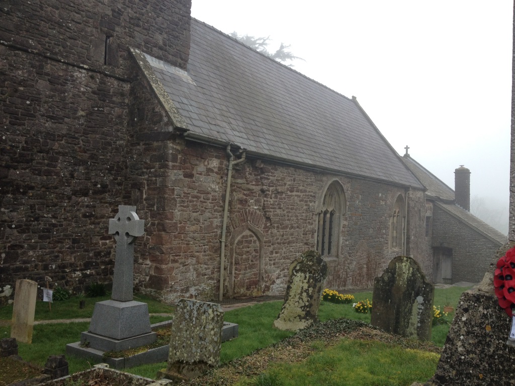
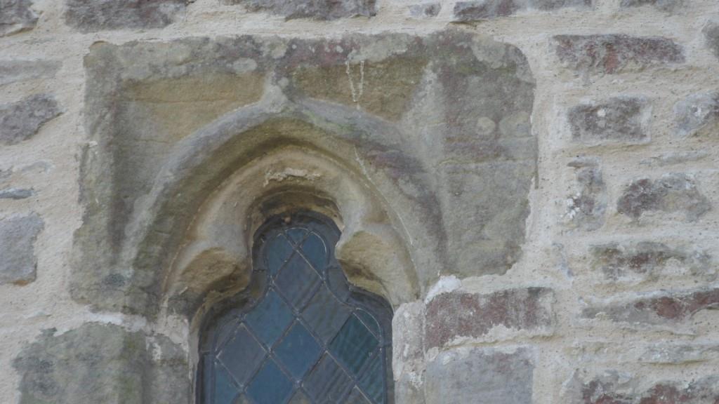
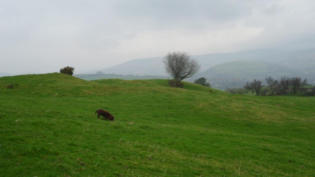
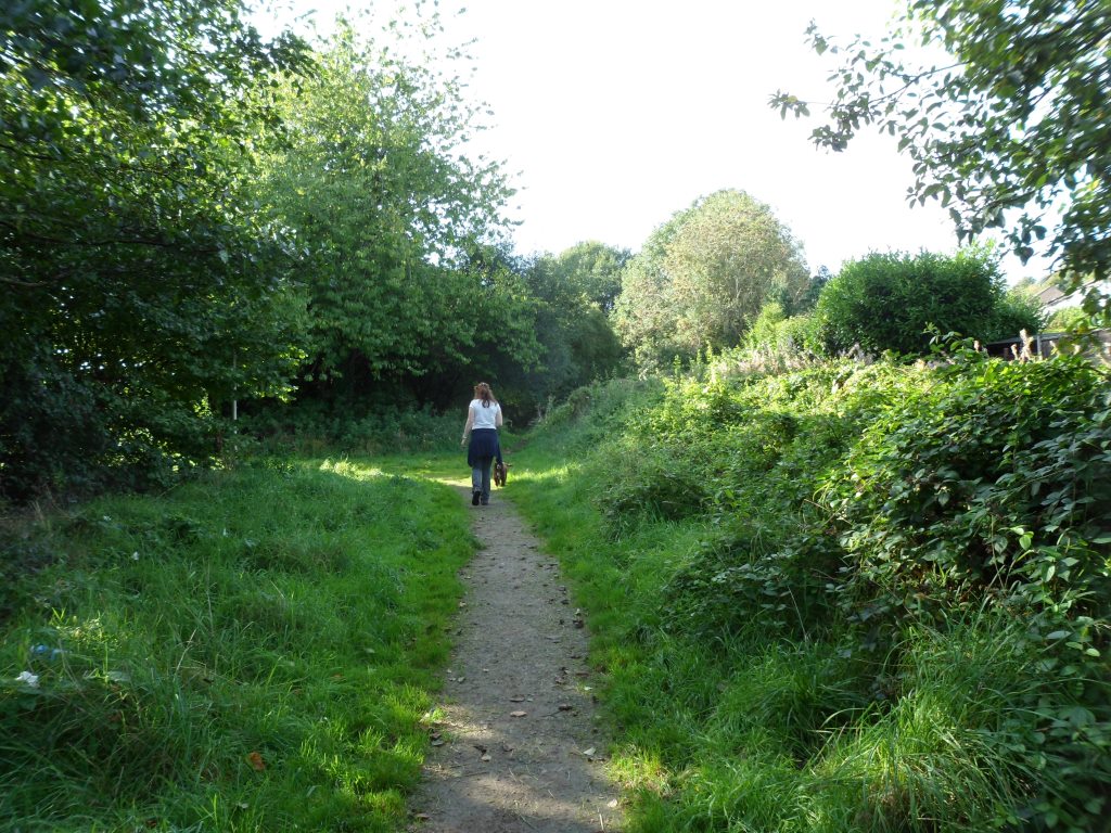
Laleston and Merthyr Mawr are planning a loop off the Wales Coast Path featuring their collection of Celtic crosses, later carvings and other heritage attractions. Yesterday the sun shone and it seemed like a good day for a walk … so Cara the Pilgrim Dog and I set off from Merthyr Mawr. The village is almost chocolate-box pretty with a little wedding-cake of a Victorian church. More on the carvings at http://heritagetortoise.wordpress.com/2013/07/22/llancarfan-and-merthyr-mawr-faith-in-heritage/ and http://heritagetortoise.wordpress.com/2013/08/12/on-knowing-where-your-towel-is/ .

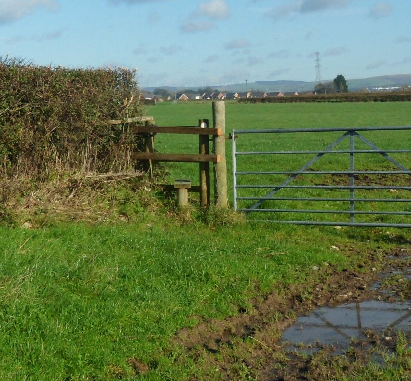
We walked alongside the park wall and up the lane towards Whitney Farm. The stile here, where the footpath leaves the lane at 879 784

Image

needs waymarking and a bit of attention!

Image

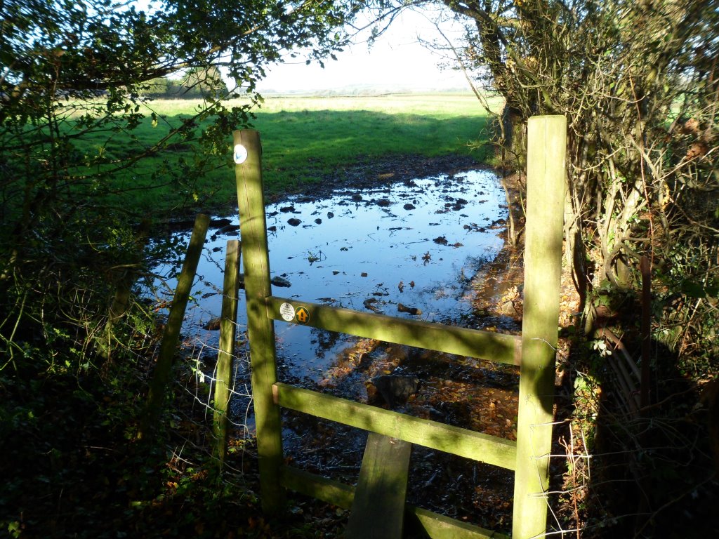
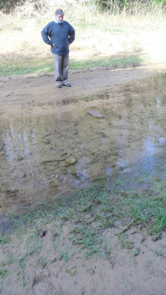
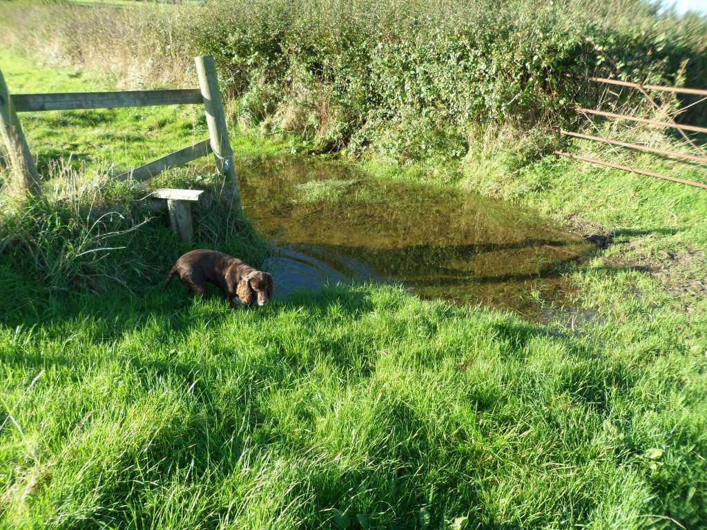
The puddle is probably the result of recent torrential rain but a lot of the gates and stiles have puddles and we may have to think about ways of dealing with this.

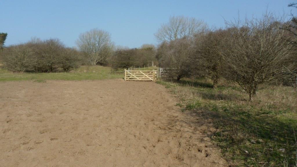
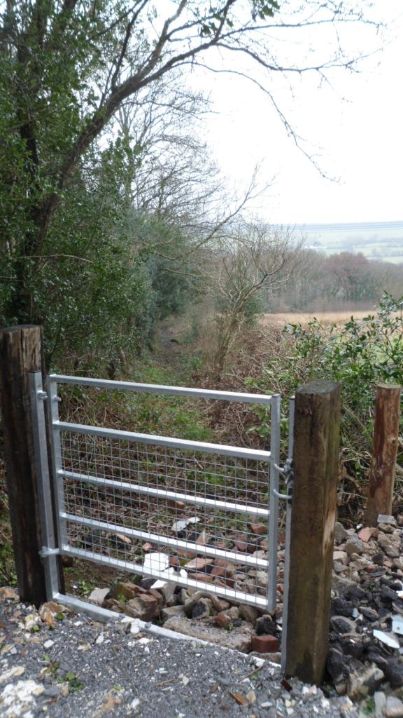
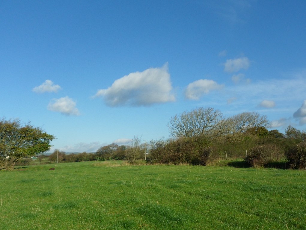
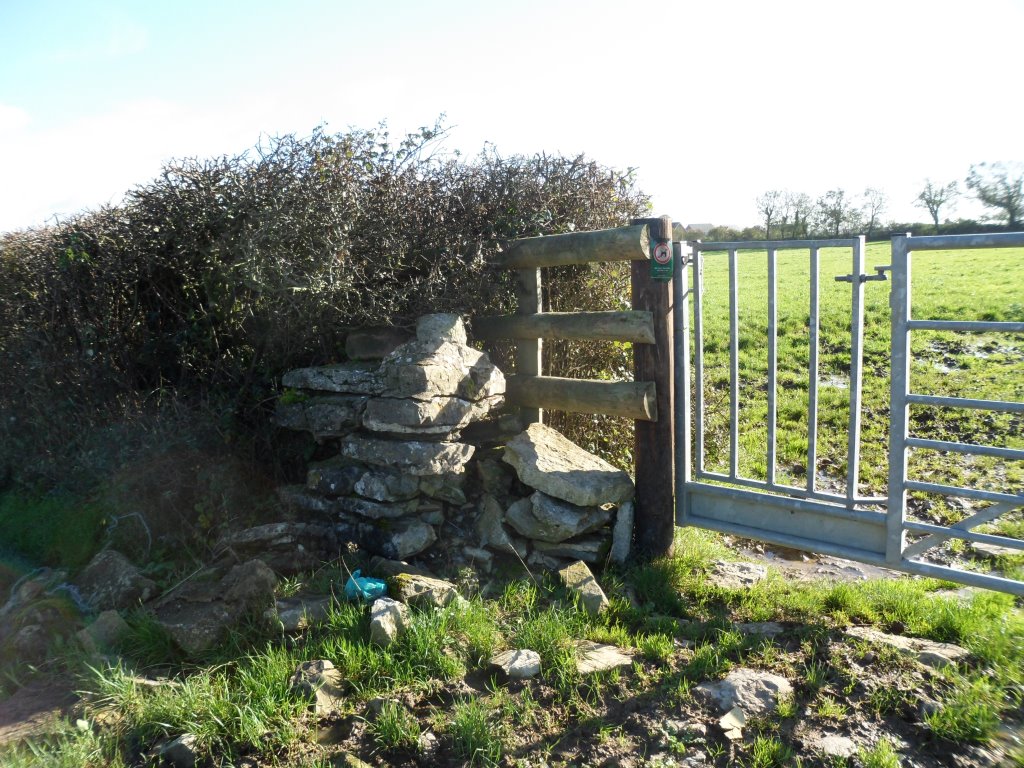
Good stiles and gates across the fields

Image

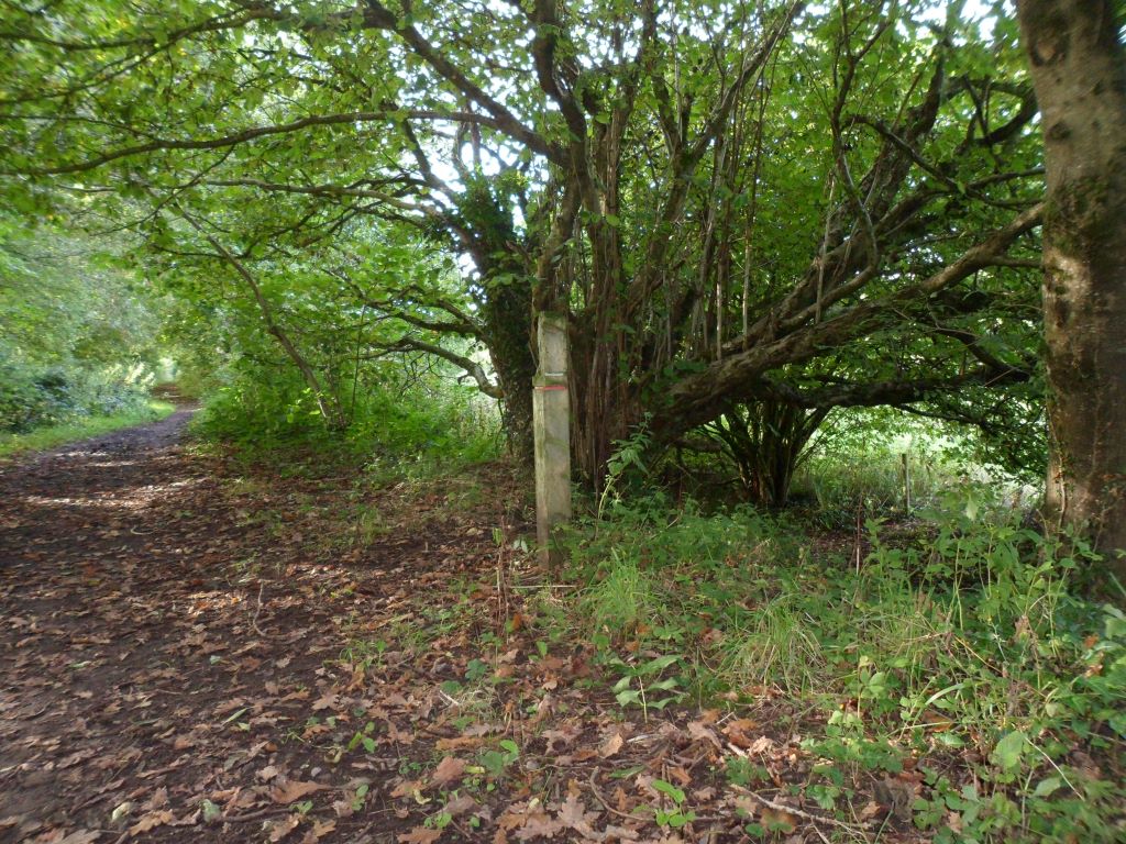
though we may need some waymarking especially here at 877 789

Image

where the line of the right of way on the map goes through two hedges but the path obviously goes through the gap.

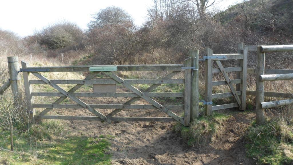
Emerge on the Bridgend bypass at 877 793, turn right, cross the road and through a good sturdy gate at 878 792.Image

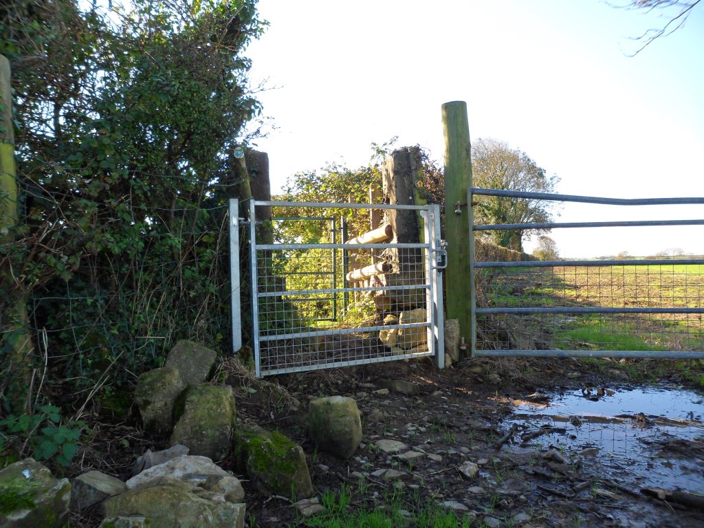
Clear waymarking needed here at 879 796

Image

where the path goes back to the right, then it’s straight on to the Ffordd y Gyfraith at 881 796.

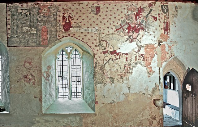
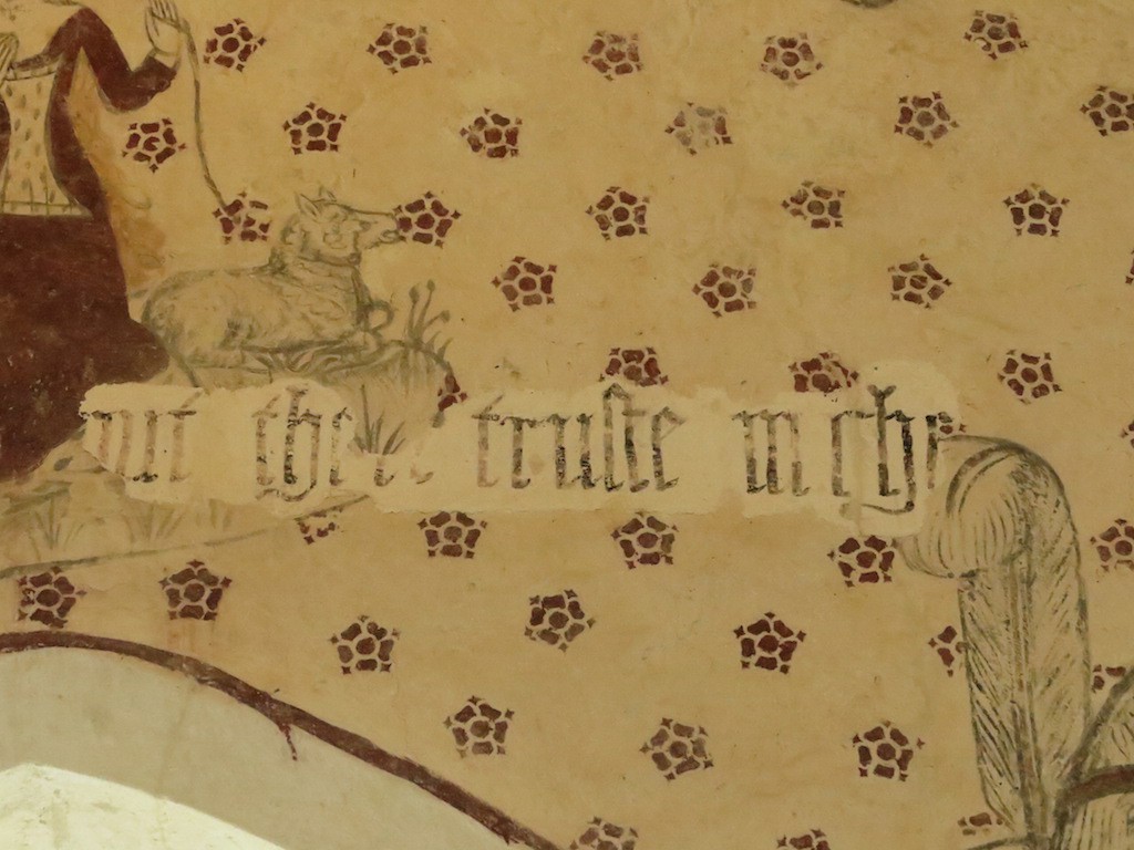
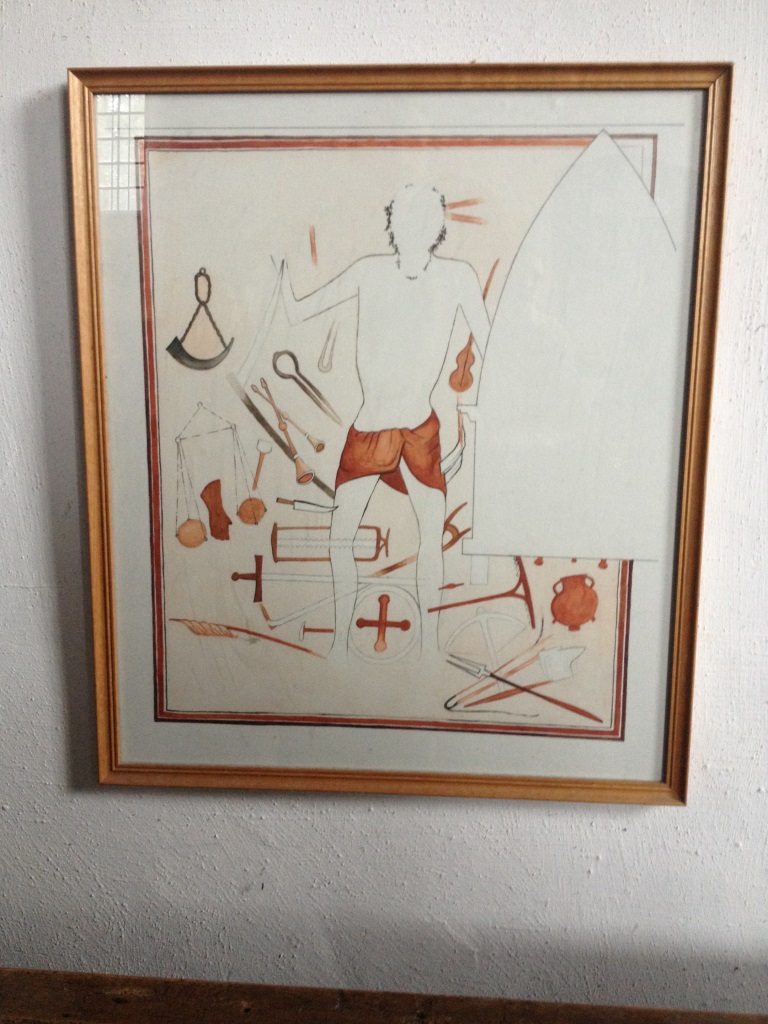
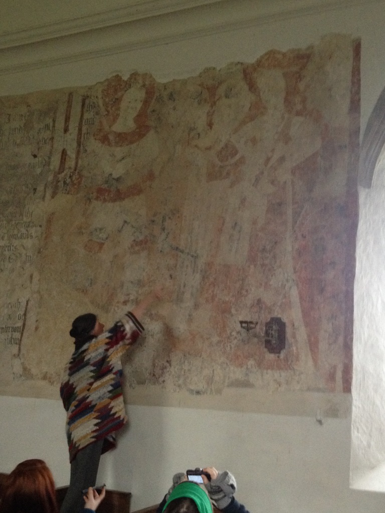
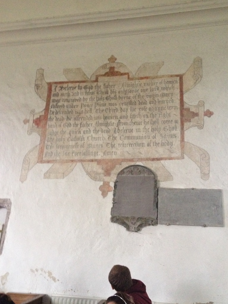
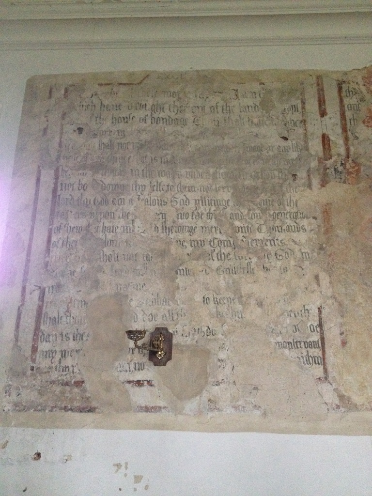
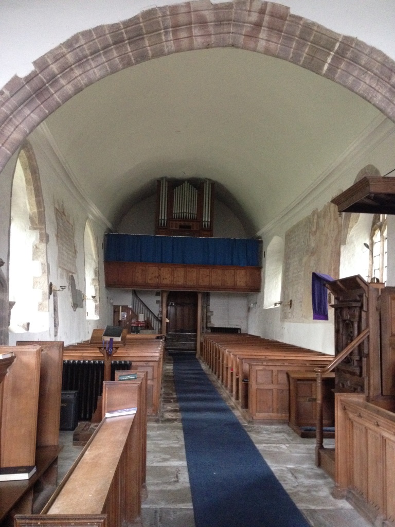
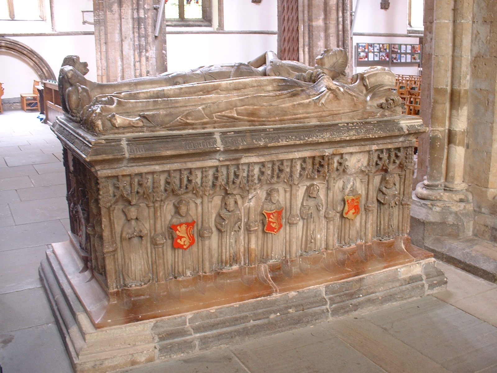
The Ffordd y Gyfraith is mostly very minor roads and tracks now, but in the Middle Ages it was one of the main roads through south Wales. The name means ‘The Road of the Law’. This was how soldiers and officials got from the western Vale of Glamorgan to the area around Llangynwyd. Llangynwyd was the Helmand Province of medieval Glamorgan (with my ancestors the Welsh lords of Afan as the Taliban). By the fifteenth century it was also famous for the carving of the Crucifixion on the rood screen of the church. Unusually, this may have depicted the two thieves as well as Christ. A medieval tombstone in the church at Laleston probably shows its design.

Image

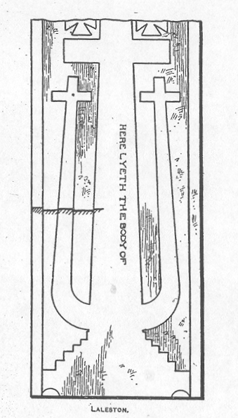
(this is John Rodger’s drawing of it, in 1911)

The Ffordd y Gyfraith crosses the main Bridgend road at 881799, at the east end of Laleston village. Almost buried in the roadside verge is the socketed base of a medieval wayside cross.

Image

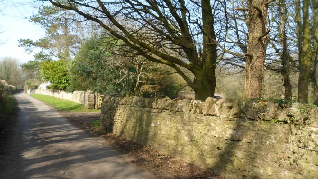
From here the road is very quiet, little more than a track

Image

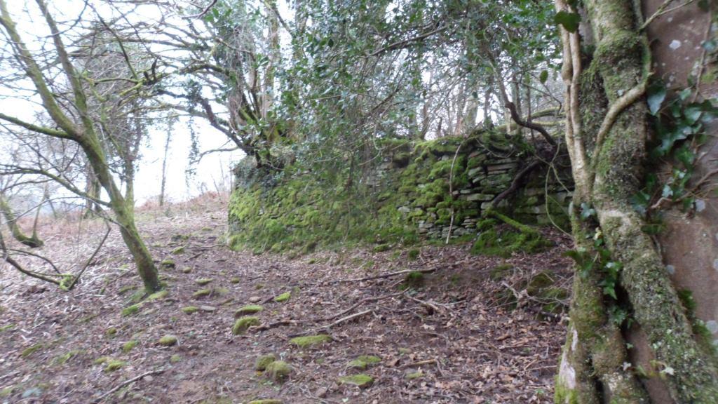
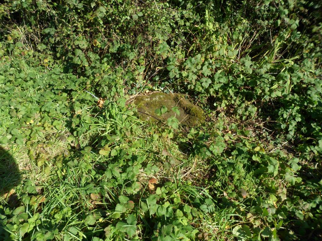
until you reach the crossroads at Cae’rheneglwys. Here another wayside cross base is completely overgrown with brambles.

Image

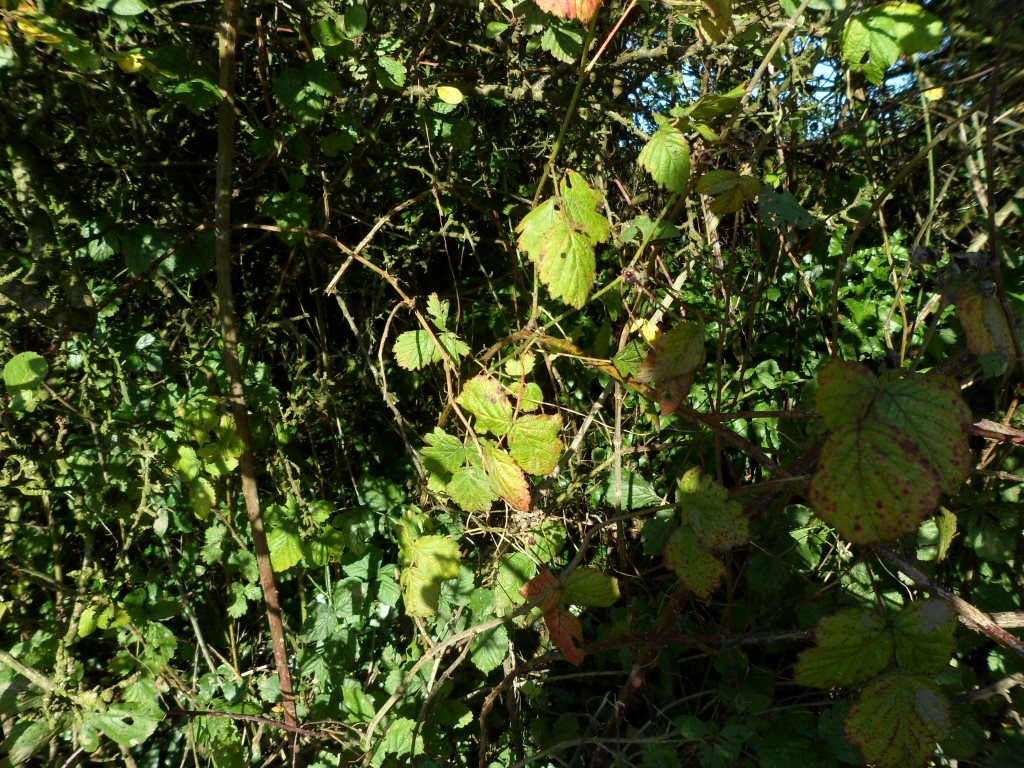
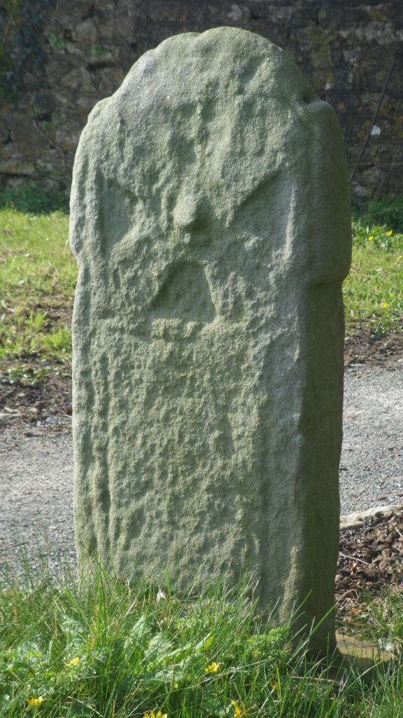
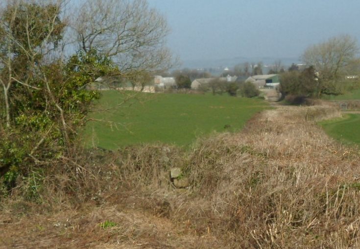
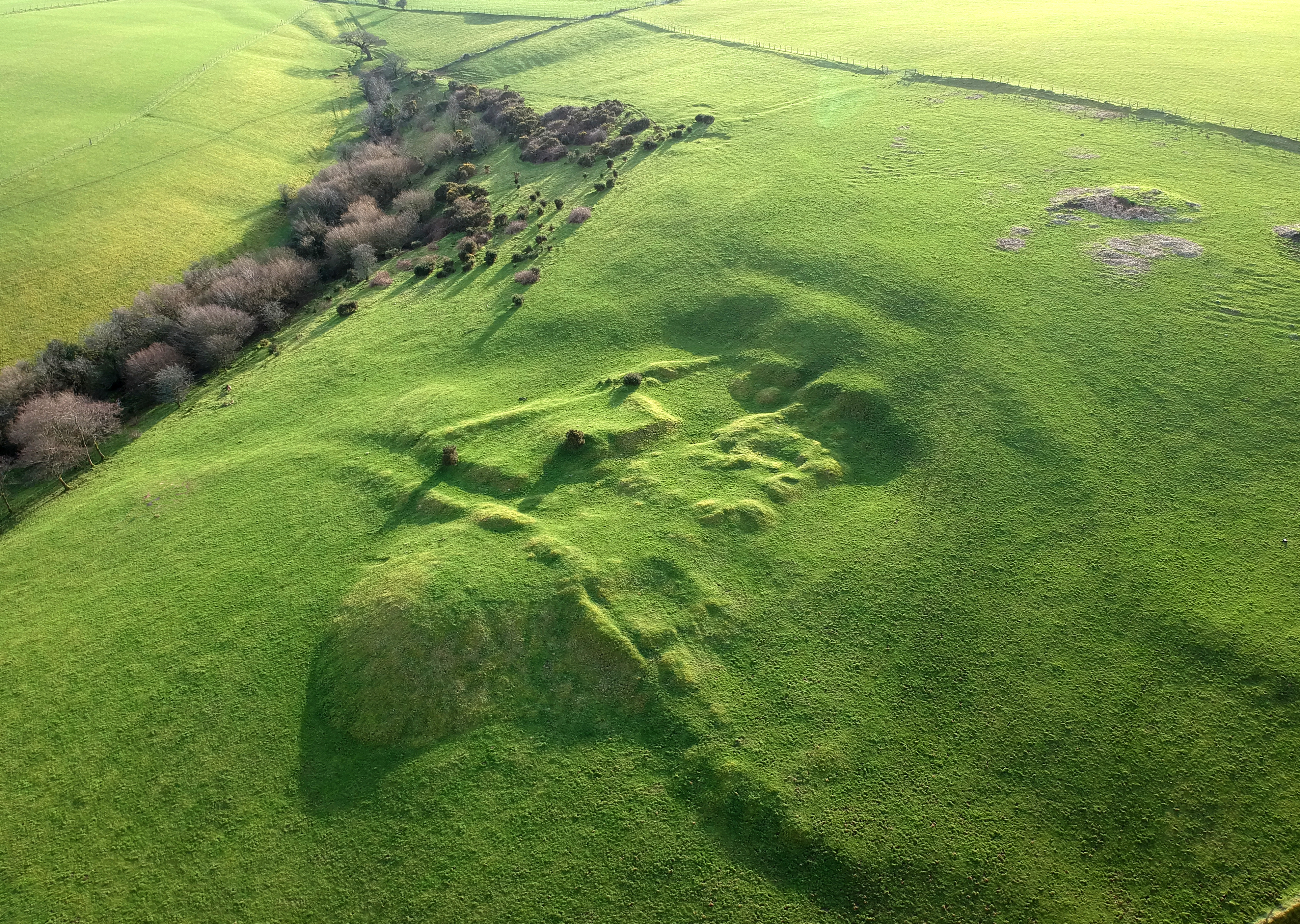
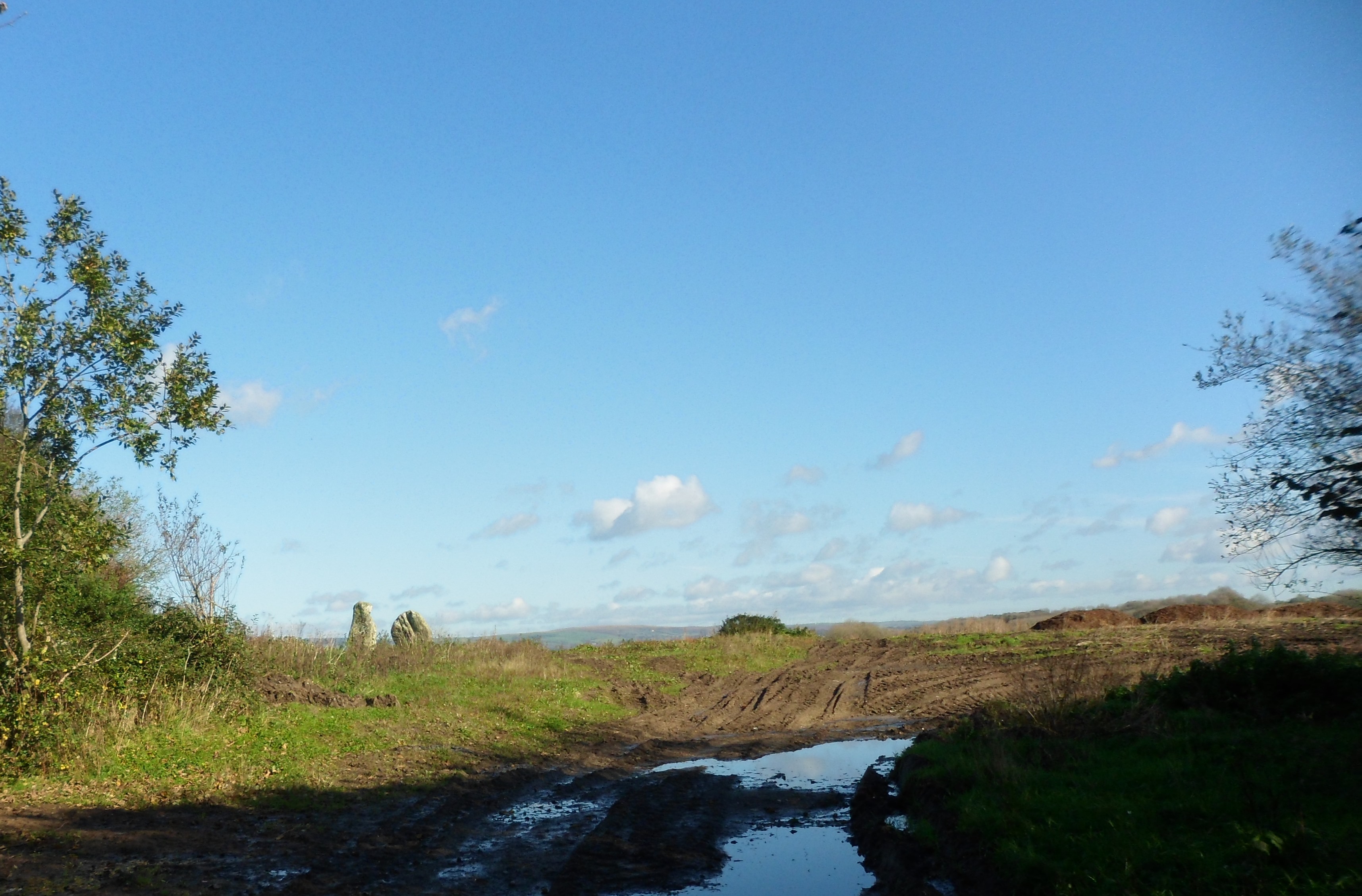
The two stones in the field

Image

are all that remains of the medieval church and village of Llangewydd. Two carved ‘Celtic’ crosses were found here and are now in the National Museum. There are some more plain standing stones in the hedge to the left of the photo. Unfortunately there is no possibility of public access to the field, but an interpretation board on the road will show what the church and settlement might have looked like.

So what happened to the settlement – in a word, the Cistercians. This reformed religious order spread from France across Europe in the early twelfth century, reaching Wales in 1131. Part of their ethos was that they wanted to farm their own land by the sweat of their brows. They preferred to settle on unused land and bring it under cultivation themselves. But there was very little unused land in England and Wales – and when they were given land which was already being farmed, they sometimes used a combination of persuasion and moral blackmail to remove the tenants. The Cistercian monks of Margam were given the land around Llangewydd in the middle of the twelfth century and within fifty years they had removed the church and the little settlement around it.

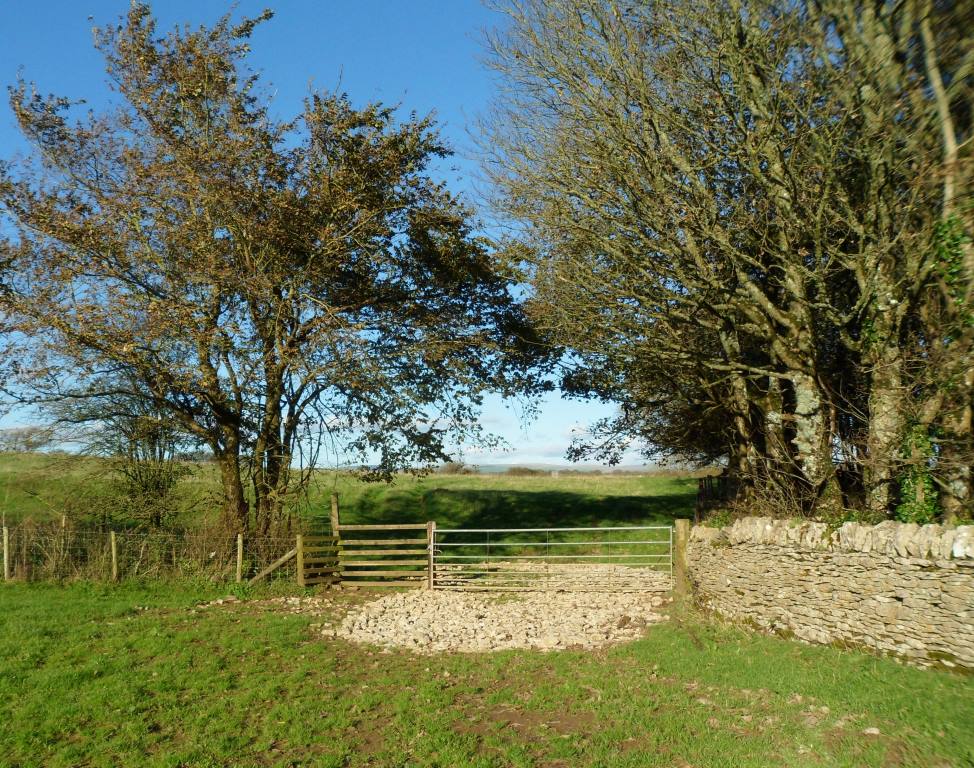
At Cae’rheneglwys you turn left on a slightly wider country road then keep straight on past the old village pound at 872 813.

Image

To your right are the ruins of the monks’ farm buildings, now hidden behind a new house called The Grange. There should be another interpretation board here showing what the grange might have looked like. The road bends to the left – another sign of the power of the Cistercian order. They could expect that a major road like the Ffordd y Gyfraith could be diverted to pass round one of their granges.

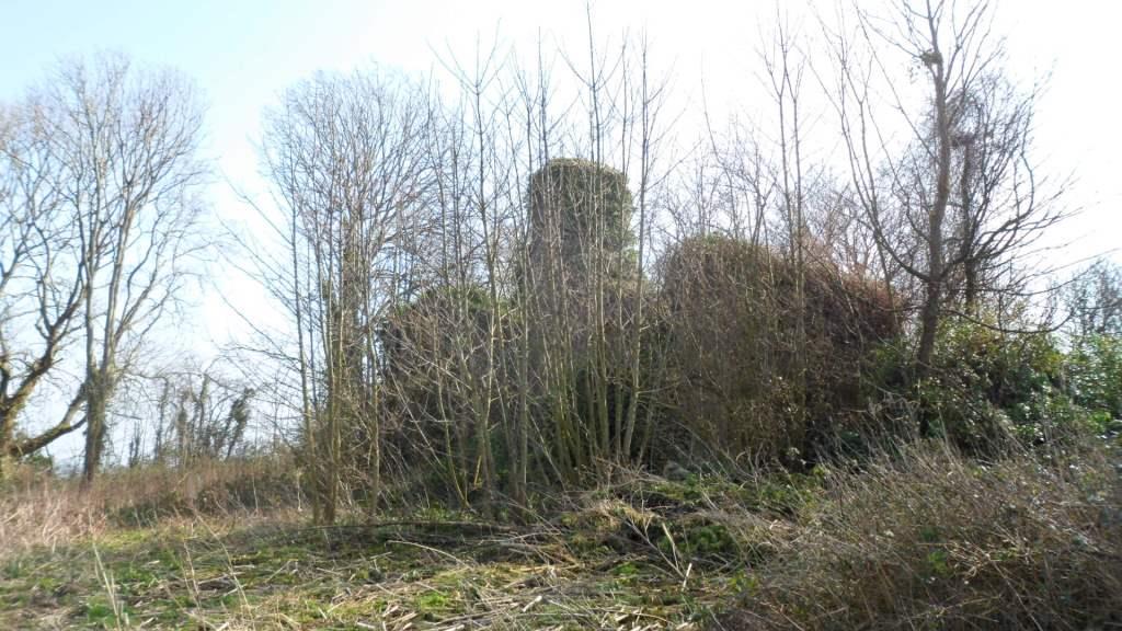
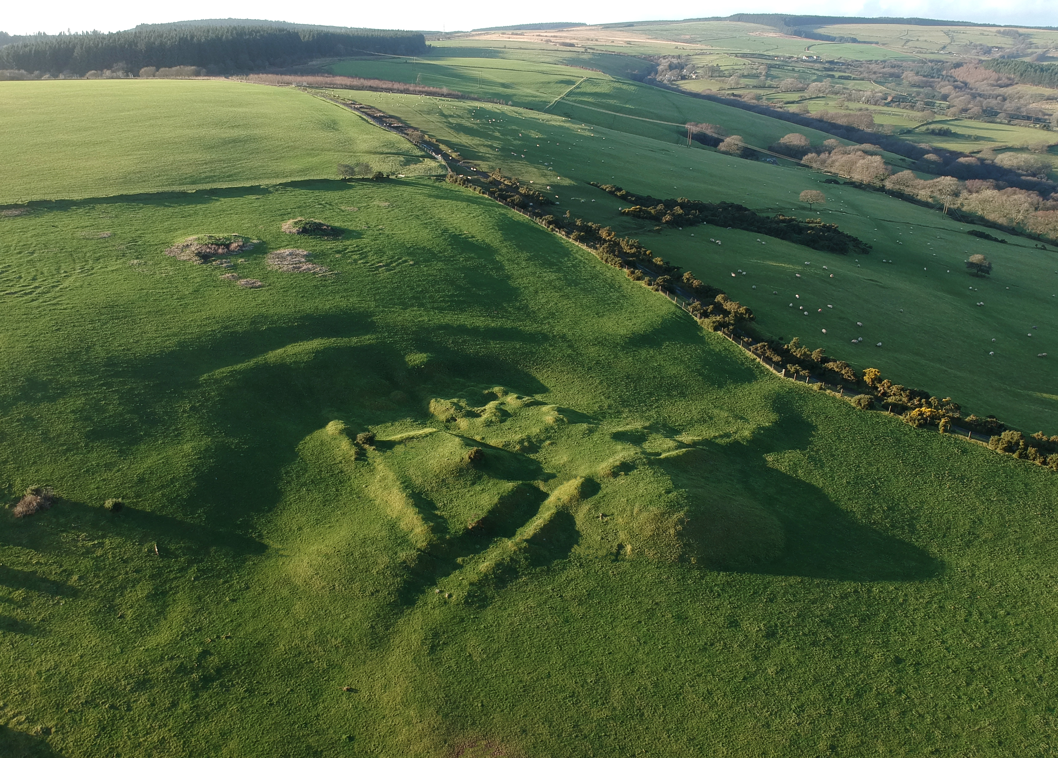
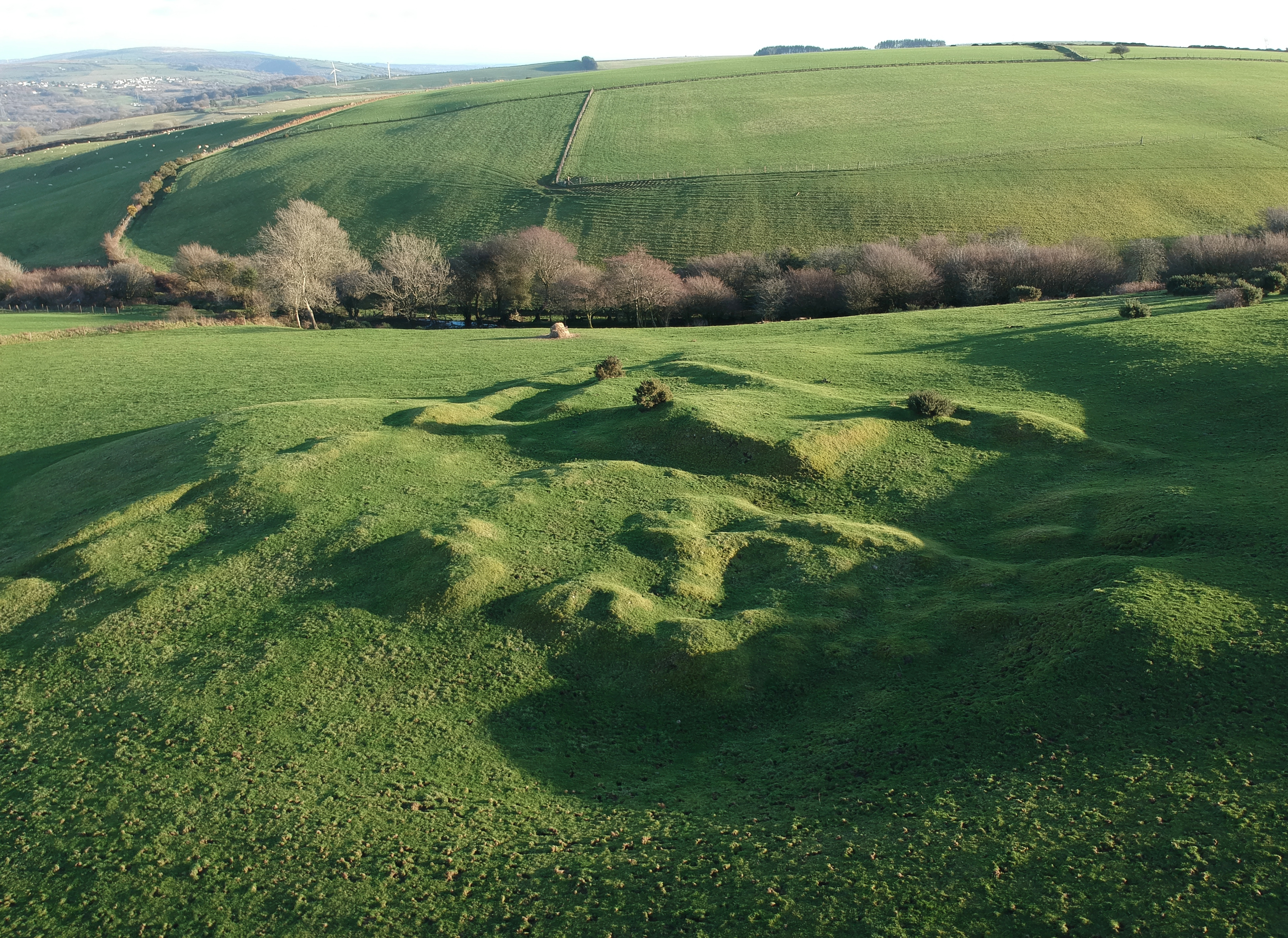
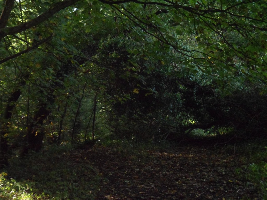
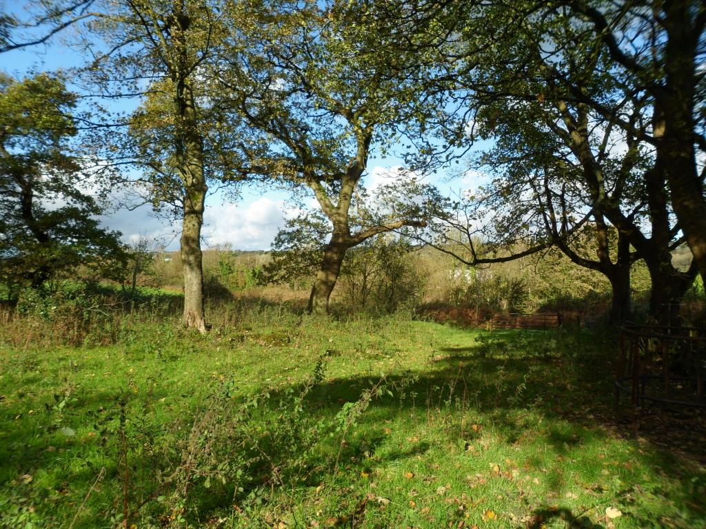
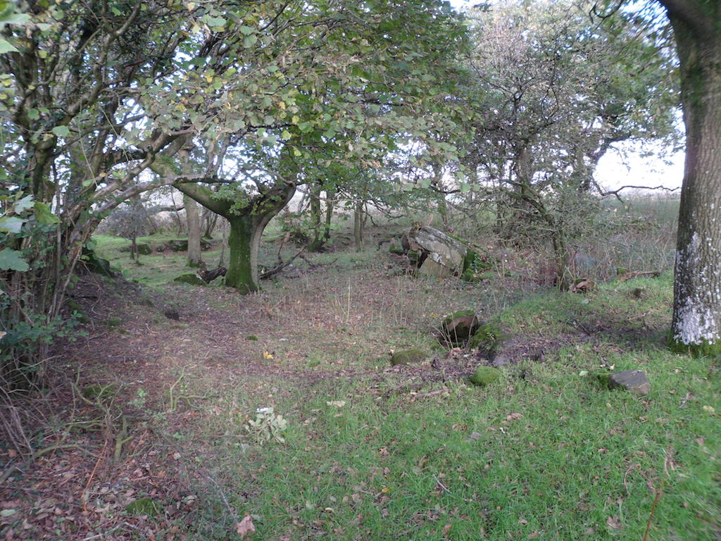
Go back to the pound and take the footpath to the south. This area is marked as woodland on the map but it’s mostly scrub and bracken. Some of the heaps of tumbled stone are geological, but some may be the remains of Llangewydd Castle.

Image

Image

Image

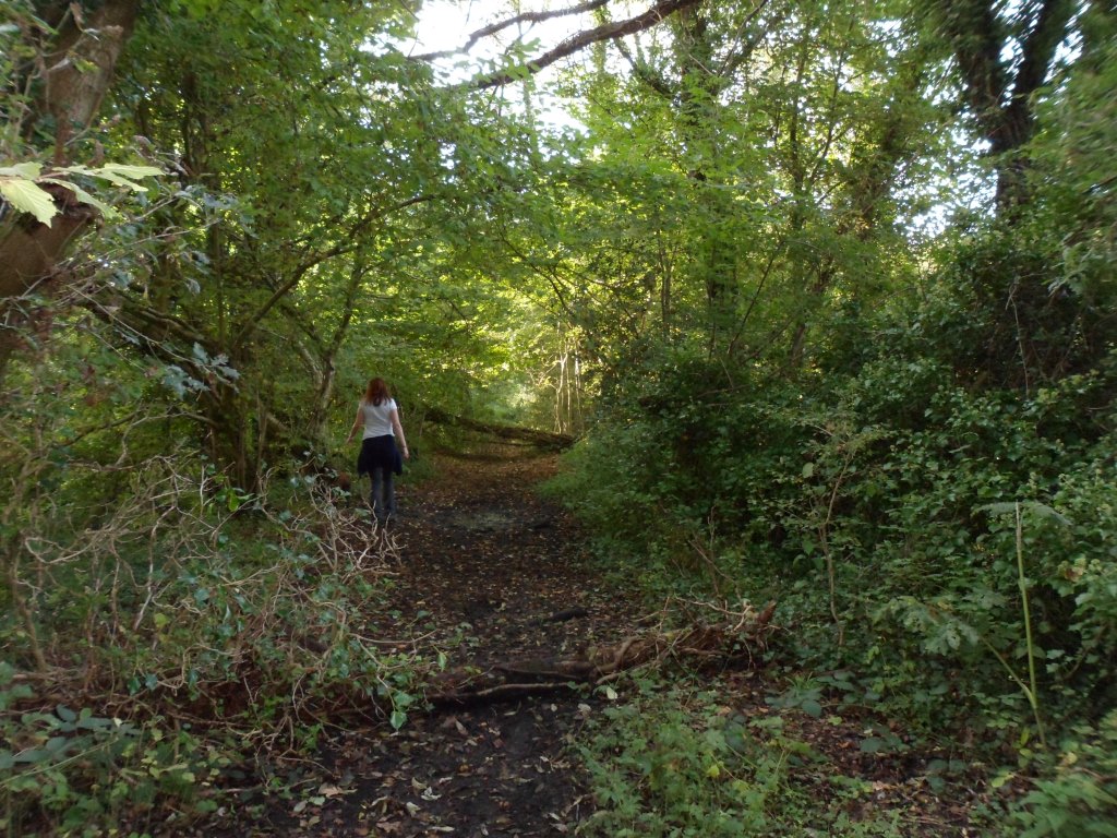
You need to be careful going through the wood. The right of way heads for a stile at the far right corner but most of the paths head for a gate in the south fence. The stile gets you out on ‘Roger’s Lane’ – actually a fast and busy road to Laleston and not really suitable for walking. I thought it might be possible to take the side road west to Haregrove Farm (another of Margam’s granges) and swing back across the fields, but the walk along the road wasn’t very inspiring and the footpaths across the fields weren’t stiled or waymarked. It would need a lot of work for not much benefit.

Part of the problem with the side roads is the amount of litter. It’s a bit different from Cardiff: our lanes are full of rubbish but it’s mostly junk food rubbish. I’ve noticed when walking in the area in the past that the country round Bridgend has much more fly-tipping, builders’ rubbish and general domestic rubbish complete with black bin bags.

Image

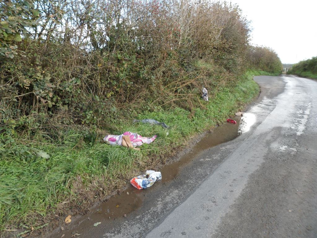
This lot actually had a couple of pairs of shoes that could have gone to the charity shop.

We have even on occasions been grateful for the rubbish. I remember my old friend Derek Williams making a plaited cable out of a disembowelled sofa in order to drag a car out of the mud on an unusually random field trip along the Ffordd y Gyfraith back in 1997. But generally it’s unsightly and puts visitors off.

So my instinct is that the best thing to do at the junction with Roger’s Lane is to head back along the side road to Cae’rheneglwys and down the Ffordd y Gyfraith to 878 802 and follow the footpath (well gated and waymarked) across the fields to Laleston.

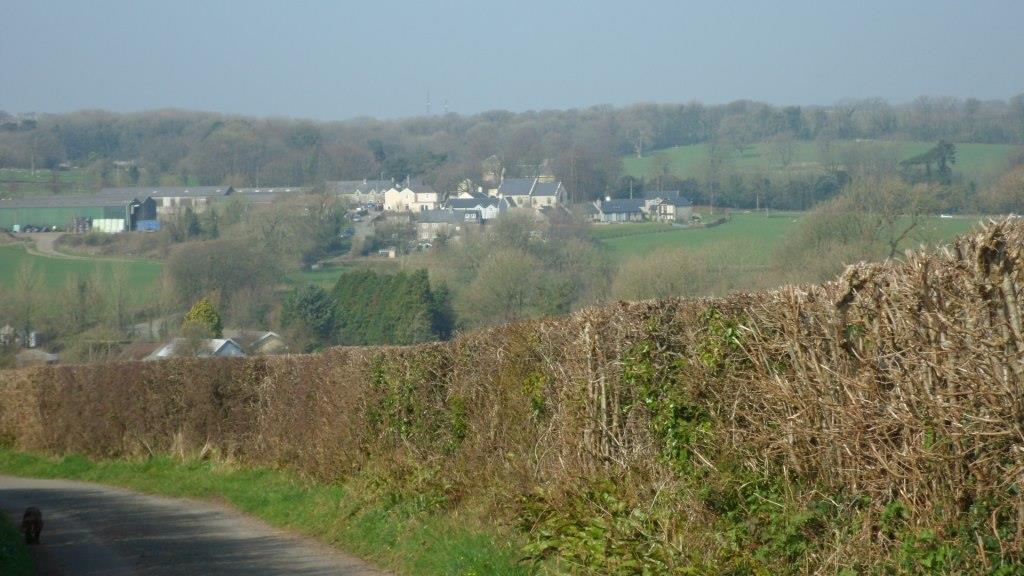
Laleston has a shop, a choice of pubs for lunch, the church and several other buildings of historical interest – and the well

Image

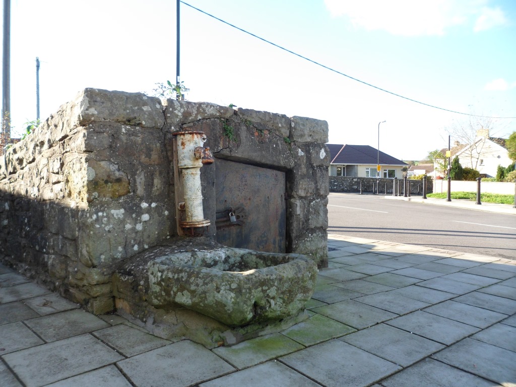
about which I know nothing, but I’m sure my friends in the Welsh Holy Wells societies will have some ideas.

From Well Street, take the footpath past the school and between the school grounds and the playing fields. This is clearly well walked but leads back to the bypass. This is the one really dangerous bit of the walk. The path should go straight across the road, but it’s near a blind bend and very difficult to cross. We may have to advise walkers to go along the verge to the left until they get a clear view, then walk back on the other side.

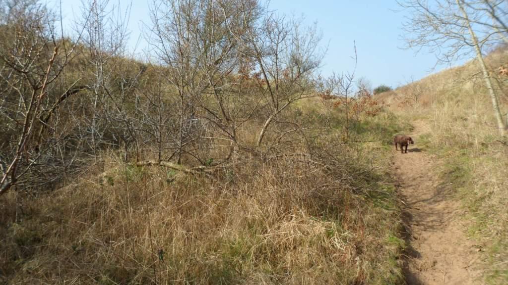
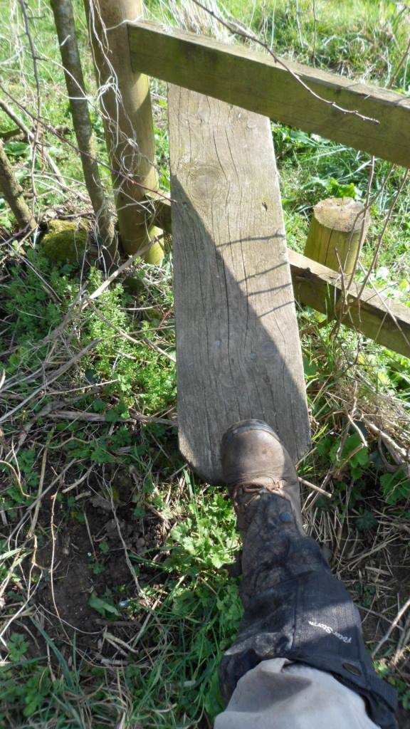
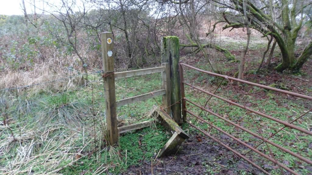
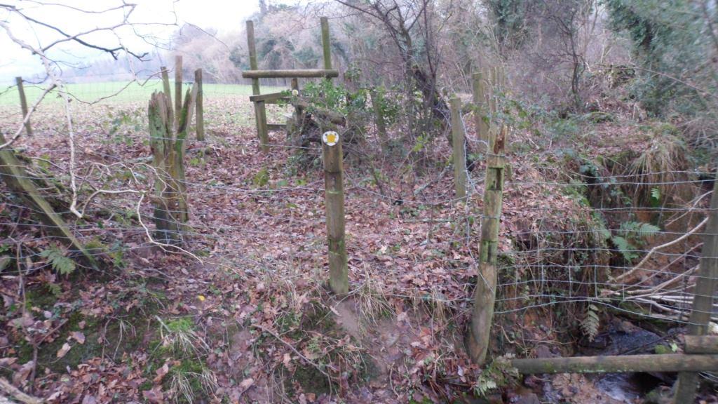
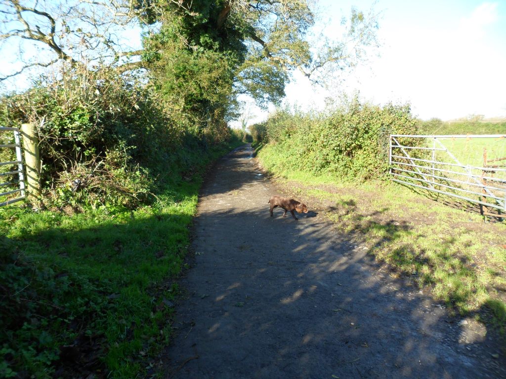
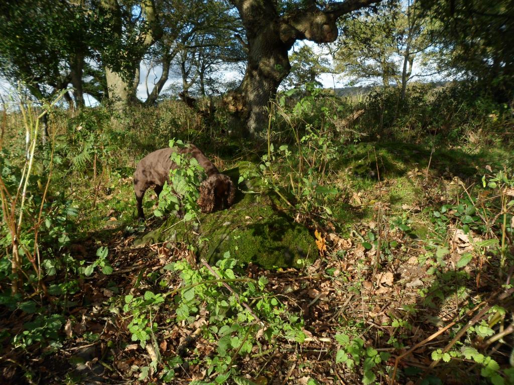
The footpath to the south is intermittently waymarked and needs some maintenance but it’s easy to follow. Cara liked this moated stile.

Image

At 873 787 the paths divide. Bear left and go round the east corner of Coed Cwintin to rejoin the track past Whitney Farm and return the way you came. We went right and along the west edge of the wood. No stiles or waymarks but gates and an attempt to deal with the puddles

Image

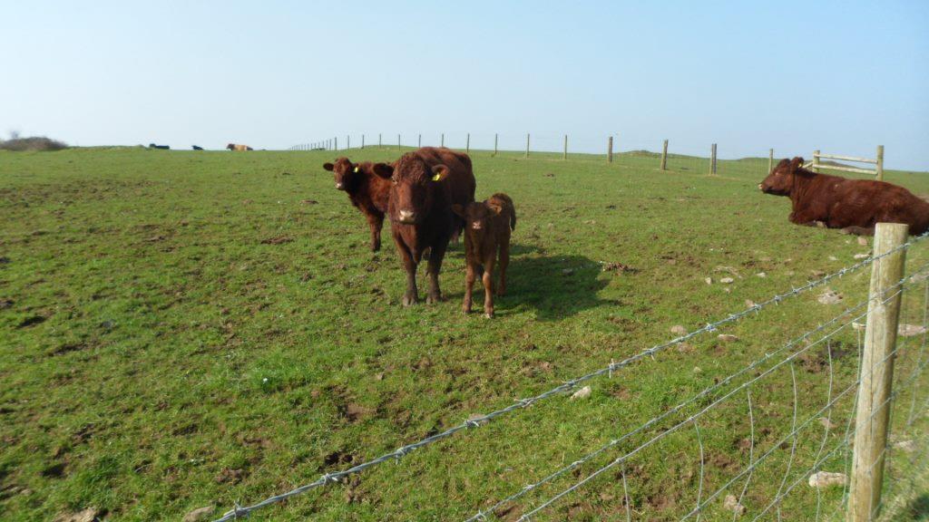
The lane goes round Candleston Farm and turns south again. Where the tracks divide, take the left fork and go steeply downhill to a stream. At the next fork you can bear left and walk over the ridge to Ton Farm or keep right to walk along the stream (literally in places)

Image

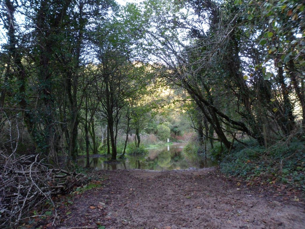
to Candleston Castle. We need to find out whether the flooding on the road is the result of heavy rain, or if there is an alternative path.


Image

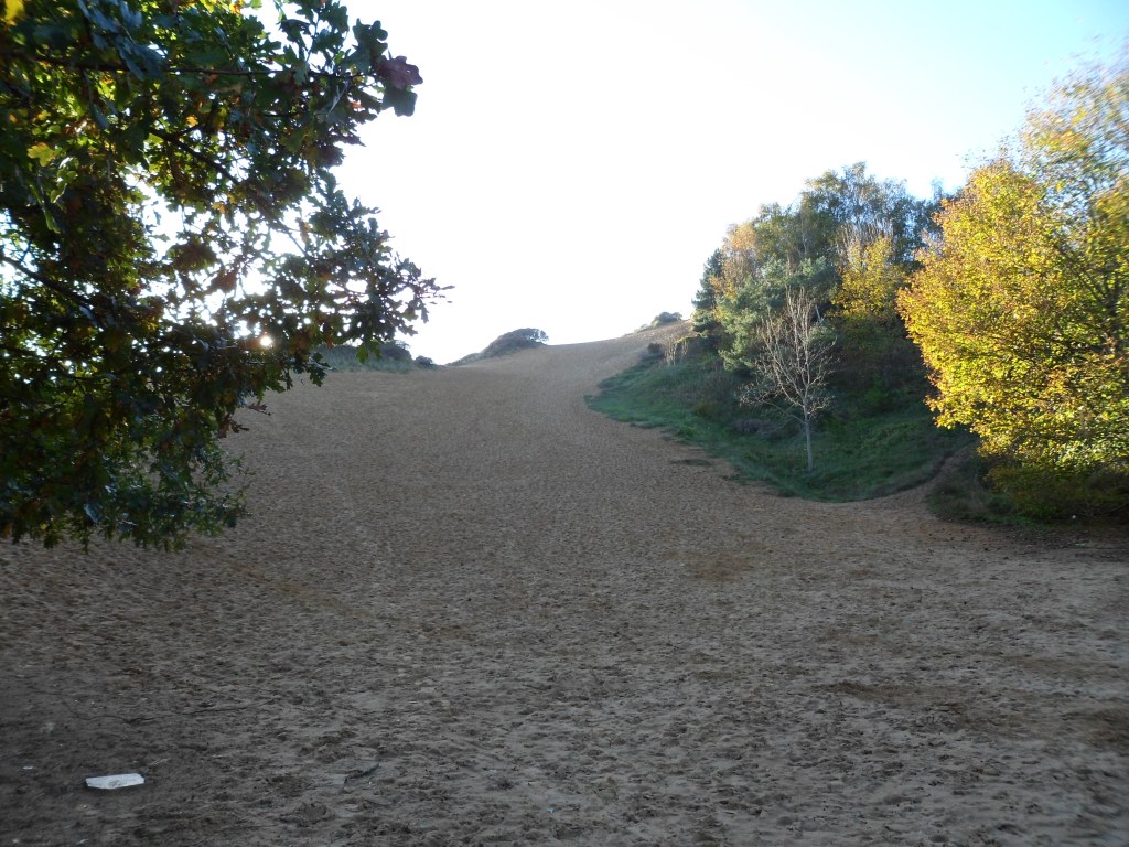
To your right are the soaring dunes of Merthyr Mawr Warren

Image

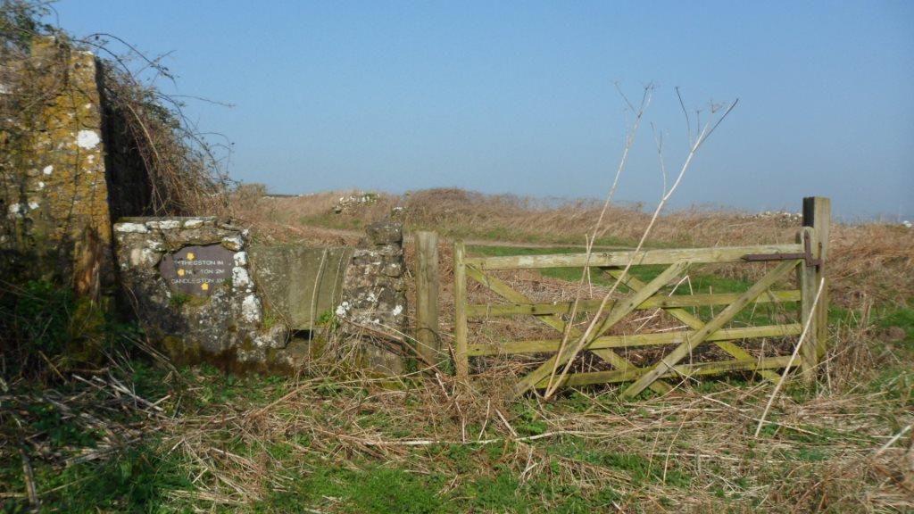
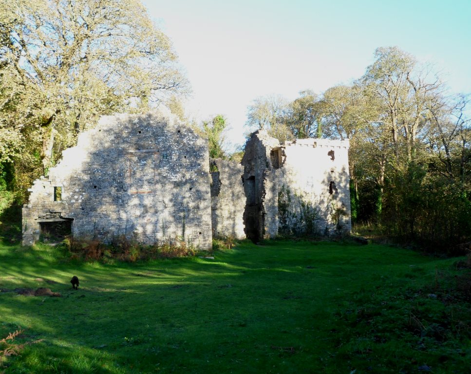
and to your left is Candleston Castle


Image

– really a fortified manor house, probably built in the fifteenth century. From the castle you can continue along the coast path to Porthcawl or return along the road to Merthyr Mawr and your start point.

It was a good day’s walk – about eight miles along the best route, with plenty of interest on the way. We need to do a bit of work on stiles and waymarks, write a guide leaflet and work on the interpretation boards. Watch this space.

Faith tourism, faith in tourism?

‘All these died in faith, before receiving any of the things that had been promised, but they saw them in the far distance and welcomed them, recognising that they were only strangers and pilgrims on earth’ (Hebrews 11: 13)

The irrepressible John Winton of the Churches Tourism Network Wales, having virtually invented church tourism for our nation, is launching his Faith Tourism Action Plan in St Asaph. Here are some amazing statistics. Churches are among our most popular tourist attractions – St David’s Cathedral gets 262,000 visitors a year and Brecon gets 120,000. Their motivations vary – they may be interested in old buildings, tracing their family connections or simply looking for somewhere free to get out of the rain. But on the international scene, faith tourism is big business. Pilgrimage to Compostela has a huge impact on the economy of northern Spain. Pilgrims making the hajj to Mecca contribute about $8 billion a year to the Saudi Arabian economy. It’s no wonder that VisitWales is keen to encourage John’s plans.

Part of this, of course, is the Galilee Project (http://www.illtudsgalileechapel.org.uk/) . Initially conceived as a way of providing a better display space for the early medieval carved stones at St Illtud’s Church, this is spiralling out with an ambitious plan for a pilgrimage route across south Wales, linking Llandaff, St Fagan’s (where the museum will be the new home of the collection of early medieval stones now in the National Museum in Cathays Park in Cardiff), Llancarfan (another early monastic site with some impressive late medieval wall paintings), Llanilltud itself, Merthyr Mawr and Laleston, and Margam.

Part of the aim is to get rid of the unfortunate Anglicisation of the church’s name, Llantwit (St Twit – who he?) and re-popularise the Welsh version, Llanilltud. Seriously, we have deferred for too long to the English inability to pronounce our place names – they are part of the intangible charm of our heritage and we need to stop hiding them.

So John, Gareth Kiddie (the project’s business consultant) and I sat down with the maps to think about possible routes. Like most heritage footpath plans, this one is a balancing act: we need a good walk, on open and clear footpaths, that visits key sites and pushes the buttons of the potential funders.

John seems to treat me as a sort of enquire within upon everything to do with church history. Sometimes this means that he calls me in for things that I know nothing about: but when it comes to pilgrimage and footpaths I am on home turf. The biggest problem seemed to be the start. Llandaff Cathedral is in the middle of a built-up area. Who will want to walk for miles along busy roads before reaching the countryside? But Cardiff is famous for its ‘green lungs’, corridors of woodland and open space between the housing estates; and one of the biggest of these runs along the river. We might have to go north in order to go south … but north from Llandaff is the traditional pilgrimage route to Penrhys, one I’ve walked in the past as an alternative to our usual route from Llantarnam.

So it was that I put my boots on and collected Cara the pilgrim dog, and we made our way to the Taff bridge between the cathedral and Llandaff North.

Image

Image

The route up river from Llandaff starts well – you walk up the river bank from the cathedral, climb to the road for a few metres past the boat club then back to the river bank as far as the bridge. Keep on the west bank of the Taff and walk along Radyr Court Road, then when the road bears up to the left take the path along the river bank. Turn left under the railway line and walk up to the path through Radyr Woods then turn left past the playing fields of Radyr Comp to emerge at the roundabout where the Radyr road meets the Llantrisant Road.

Here it gets problematic. The footpath across the fields goes through the farmyard of Maes-y-llech – never a good idea. I had a nice chat with the farmer (he knows my cousins from the Vale). He admits he doesn’t like footpaths through his farm but accepts that it’s legal – but for a promoted path it might be better to re-route it. But here’s the real problem – he eventually said that the whole farm is scheduled for building under the latest local development plan. This explained some of his bitterness – his family have farmed there for generations but as tenants so the farm will be sold and they will be out on their ears. It’s dreadful for him, but it also means there isn’t much point in putting a lot of thought into a route that’s going to go round the back lanes of a housing development.

But there is an alternative. The footpath from Maes-y-llech cuts across the line of the disused railway from Fairwater to Llantrisant. After that, the footpath is clear up to the Pentrebane road. You have about 400m. on the road then there is a footpath across the field to a green lane that gets you into the new housing in St Fagans and the back gate of the Museum. So I walked back along the railway line.

Image

It needs a bit of attention

Image

Image

(fallen trees, and one bridge has been demolished: there’s an easy scramble down the embankment and back up) and it isn’t actually a right of way but it has a waymark post for a promoted route half way along

Image

and it gets you by a very pleasant route into the southern part of Danescourt. I re-walked it with my daughter Rachel and she approved.

So the suggested route is as follows: from the cathedral up the river to the bridge. About 100 m. along Radyr Court Road, go up the steps to your left. Walk along Highfields, turn down Greenwood Road, left along the Llantrisant Road to the roundabout. Down Tangmere Drive, along Grantham Close and into the park, bear right and you are on the old railway line. Follow this for about 1/2 mile until you are out of the trees, then after the pylon turn left and follow the footpath across the fields to the Pentrebane road and down the green lane to St Fagans.

Keen pilgrims would probably want to make a bit of a loop to the north to go past Radyr Court and St John’s Church. St John’s is the old parish church of Radyr, a simple building of rough stone with a huge old yew tree.  Radyr Court is now a pub but it was in the Middle Ages the home of the Mathew family. The women of the family were famous for looking after pilgrims on their way to Penrhys. According to the elegy written by Rhisiart ap Rhys to Elspeth Mathew,

Parlwr gan vwr niferoedd
I vels draw val osdri oedd

‘her parlour was to many invalids like a hostelry’. He also said that she sent a considerable weight of candles to Penrhys, but she never seems to have gone there herself. Perhaps she considered herself to have taken informal vows at Radyr and to be running a sort of maison Dieu, a hospice for pilgrims. This would make her something like Sister Anne Larkins, who runs the retreat house at Llantarnam and sets us off on our annual pilgrimage from Llantarnam to Penrhys with a blessing of water from a medieval stoup found in the abbey ruins.

The family also claimed to be hereditary custodians of the skull of St Teilo. This famous relic was recently returned to the cathedral after some time in Australia. It is still shown occasionally to visitors and would probably be brought out for an organised group. The cathedral also has the effigy tombs of David Mathew, Sir William Mathew and his wife Jenet

Image

with the famous ‘sleeping bedesman’.

So there are a lot of connections.


The Llanilltud Fawr (Llantwit Major) Galilee Project – nearly there!

If heritage trails test the breadth of your historical knowledge, historical recreations test the depth – you find out what you don’t know about your own research field.

Today’s fun job was a meeting in the National Museum in Cardiff with Mark Redknap and Chris Jones-Jenkins to finalise some reconstruction drawings of the early medieval monastery and the late medieval Galilee chapel at Llanilltud in the Vale of Glamorgan.

The Galilee Project has been an amazingly ambitious and imaginative project to rehouse a collection of early medieval carved stones – the iconic ‘Celtic’ crosses of early Wales with their interlace panels and inscriptions in insular script. The crosses and pillars have been found in the area around the church. Many of them record burials of the local rulers from the second half of the first millennium, making the early medieval monastery at  Llanilltud a sort of Westminster Abbey of early Wales. They are currently in the west  end of the parish church, built by the Normans and their successors on the site of the monastery. Some of us liked that setting, where the stones mingled with display boards of Sunday School work, processional banners and other ecclesiastical impedimenta, but  it has to be said that it was difficult to see them properly. This is always going to be an issue in church heritage, and it’s thrown into sharper relief by the importance of this particular collection of stones. One the one hand, they articulate the memory of the worshipping community and they should be in the church not in the arid environment of a museum. On the other hand, in the church they are in the way of other activities and the other activities are in the way of them.

No easy answers – though in this case it’s made a bit easier because the stones were not originally inside the church: they have been moved there for safe keeping, so they can more easily be moved again.

The church is big enough, two churches, really, end to end. But in the later middle ages it was even bigger. One of the local families built a western extension, a Galilee chapel, which was used as a family chantry. There a priest said Mass for the souls of the family and (as a concession to Christian charity) all Christian souls.

Chantries were abolished at the Reformation and the Galilee chapel fell into disuse. Then a few years ago it came into its own again as a solution to the problem of the early stones. It is being rebuilt and redesigned as an exhibition centre, which will also provide much-needed toilet facilities. You can see what has been going on at http://www.illtudsgalileechapel.org.uk/ .

As part of this project, Chris Jones-Jenkins has been commissioned to provide two reconstruction drawings. One is to show the early medieval monastery with the stones in situ. The other is to show the Galilee chapel as it would have looked in use in the late fifteenth century.

Of course, the big problem is that we don’t actually know what the monastery was like. We have a very hazy description in a twelfth-century life of St Illtud, which is about as much use as a Victorian description of the Hampton Court of Henry VIII. Archaeological exploration under the church and in the graveyard is clearly not a possibility, so we have to go by sites which have been explored – which almost by definition are the less important ones, the ones that didn’t become parish churches. We don’t know exactly where the crosses were, we don’t even know the function of the carved pillars, and we have no idea at all what the surrounding landscape was like.

So why are we doing it – well, it seems important to give our best guess as to what the original setting of the stones might have been. And with Mark Redknap on board, it’s a highly educated guess.

Turning to the later medieval chapel should be easier … but even here there are huge gaps in our knowledge. We assume that a chantry mass would have involved just one priest – but he would have needed helpers, and who would they have been, and how would they have been dressed? We know the equipment needed for the celebration of the Mass would have included a holy water container and sprinkler, an incense boat, a pax, a dish of blessed bread, as well as the chalice, paten and cruet  – but where would all these have been placed when they were not actually being used? How many candles on the altar? How would the walls be decorated … what statues … what about the altar cloth … the vestments … It’s all like the St Teilo’s Project, but without even as much information as we had for that.

The work of the Experience of Worship project at Bangor (which I helped with) gives us some of the answers (see http://www.bangor.ac.uk/music/AHRC/ – and the full web site should be live any day soon), but we don’t want to do a straight copy of St Teilo’s.  The one thing I’m happy about is the tomb carvings which will be shown on the floor – I can do tomb carvings!