The hills above the mining valleys of south Wales are dotted with the remains of little medieval churches. (Technically they were chapels – chapels of ease, where the congregation still had to go to the parish church for baptisms, marriages and burials, or possibly parochial chapelries which could perform these rituals. But in the Welsh valleys the word ‘chapel’ always calls to mind the Nonconformist churches of the industrial era.) Manmoel, Capel Brithdir, Capel Gwladus, Coly Uchaf, Forest Chapel, Capel y Fan, Capel Baiden; further to the west, Capel Gyfylchi may have had a medieval predecessor (it was recorded as ‘an old chapel in ruins’ in 1763: John Morgan-Guy, the Diocese of Llandaff in 1763, South Wales Record Society, 1991, p. 44). There was a chapel at Resolven, in ruins by 1718 (Morgan-Guy, Diocese of Llandaff in 1763, p. 46) and William Rees marked a chapel called Llaneithrim on Mynydd Carnllechart, west of Pontardawe. (He never gave references, which can make retracing his work a bit tricky.)
Some of these little churches have evidence for nearby peasant housing. At Manmoel, the boundaries of the Cistercian grange go carefully around what must have been a settlement north of the Nant y Felin, and there are house platforms dotted aound Coly and Capel Gwladus on Cefn Gelli-gaer. Accrding to Nathaniel Jones, rector of Merthyr 1640-62, there was a hamlet of over 50 houses served by Capel y Fan; by his time, the chapel had been converted into a dwelling house and the inhabitants were unable to come to church. (His account is transcribed by Frank T. James in Y Cymmrodor vol. 35, 1925, online at https://journals.library.wales/view/1386446/1398546/168#?xywh=-168%2C464%2C3333%2C1801 .) There is no evidence now for any housing near the remains of the chapel.
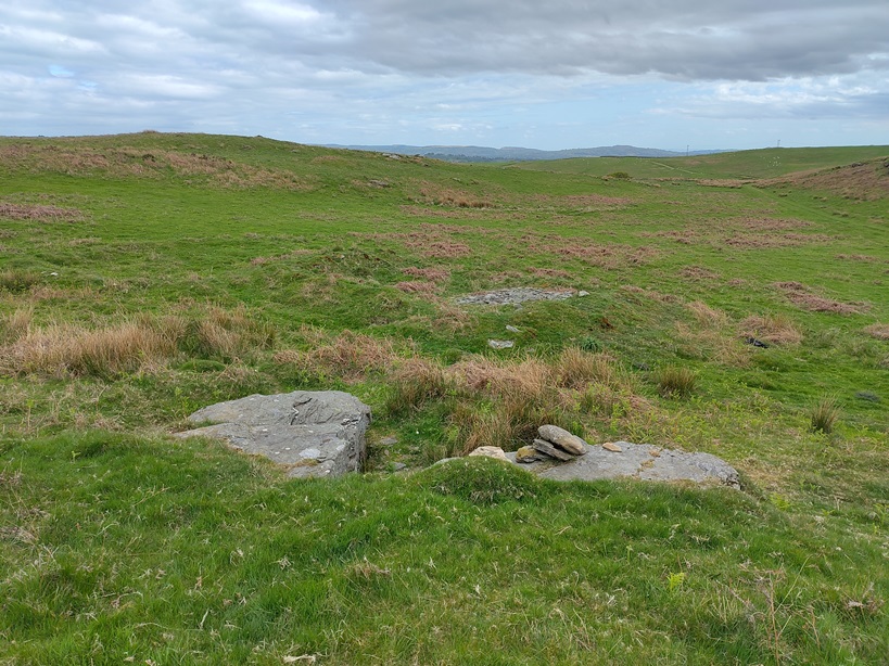
Other lost churches seem completely deserted, though they must have had a congregation at some time. One of the most remote is Forest Chapel, at SO 08203 00565 on the ridge between the Taff and the Rhymney. All that is left of it is the foundations of its walls under the turf and a faint bank round a little enclosure to the east. (Details on Coflein at https://coflein.gov.uk/en/site/15316/ )

The only evidence of housing is the very faint foundations of a rectangular building about 1½ km to the south, and a little to the west of Fforest Farm at ST 0864 9938. According to the Royal Commission inventory, this could be an early house but could also have been a farm building.
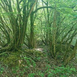
A steep minor road runs up to the ridge from Treharris, deteriorating into a track after Tir-lan Farm. Along the track, at about ST 09205 99611, is this
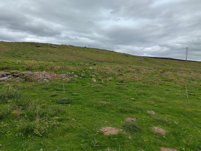
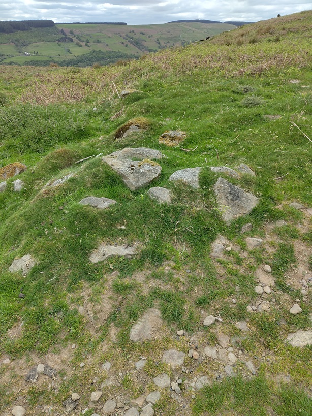
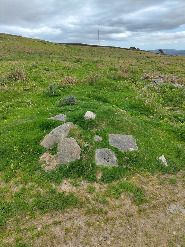
Virtually unphotographable, but there is stone under the turf. Could it be a cross-ridge dyke, one of those early medieval land boiundaries which appear on several of the ridges between the mining valleys. There is something marked as ‘field system’ on the OS 1:25,000 map but I can’t find anything on Coflein or the Royal Commission inventories.
We rarely know anything about the foundation and desertion of these little churches. Manmoel and Capel Gwladus both appear in Lifris’s late C11 life of St Cadoc so are presumably pre-Norman; Capel Gwladus also an early medieval inscribed stone (now in the parish church at Gelli-gaer). Brithdir had another simple early medieval inscribed stone built into its fabric (it is now in the church at Bargoed) and it was near a major early medieval stone, the Tegernacus stone (now in the National Museum), so that too could be early. Others were probably established to serve the needs of peasant farmers in the period of agricultural expansion in the C12 and C13 when the climate was rather better. Most would then have gone out of use when the climate deteriorated in the early C14. Manmoel and Capel Gwladus were both converted into houses. Manmoel is still a farm house, but Capel Gwladus is little more than stones under the turf. As we have seen, Capel y Fan was also converted into a dwelling house. Capel Brithdir must have been a parochial chapelry, as it has a graveyard, which was in use well into the C19. It was rebuilt on its medieval foundations but went out of use and was demolished in 1960. Baiden was also rebuilt at some point and was being used in 1763 but was ruinous again by 1781 (Morgan-Guy, Diocese of Llandaff in 1763 p. 39). Other former chapels of ease Blaengwrach, Crynant and Aberpergwm have also become parish churches in their own right. As with the lost farmsteads which dot the hills round Cardiff, it is hard to see why one chapel of ease should have fallen into ruins while another has become a parish church.

Leave a Reply